County Road 1936
Total Miles
1.2
Technical Rating
Best Time
Spring, Summer, Fall
Trail Type
High-Clearance 4x4 Trail
Accessible By
Trail Overview
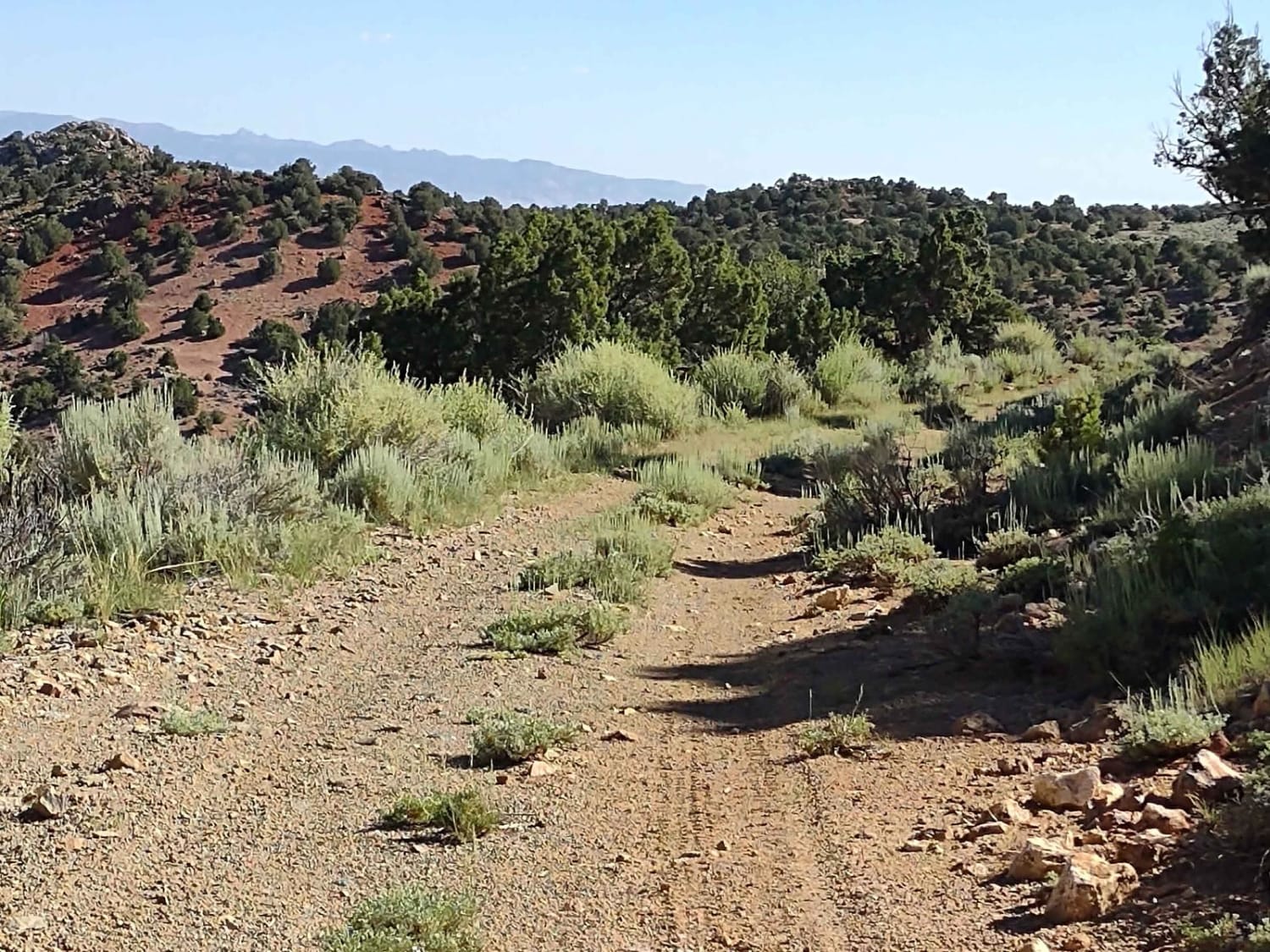
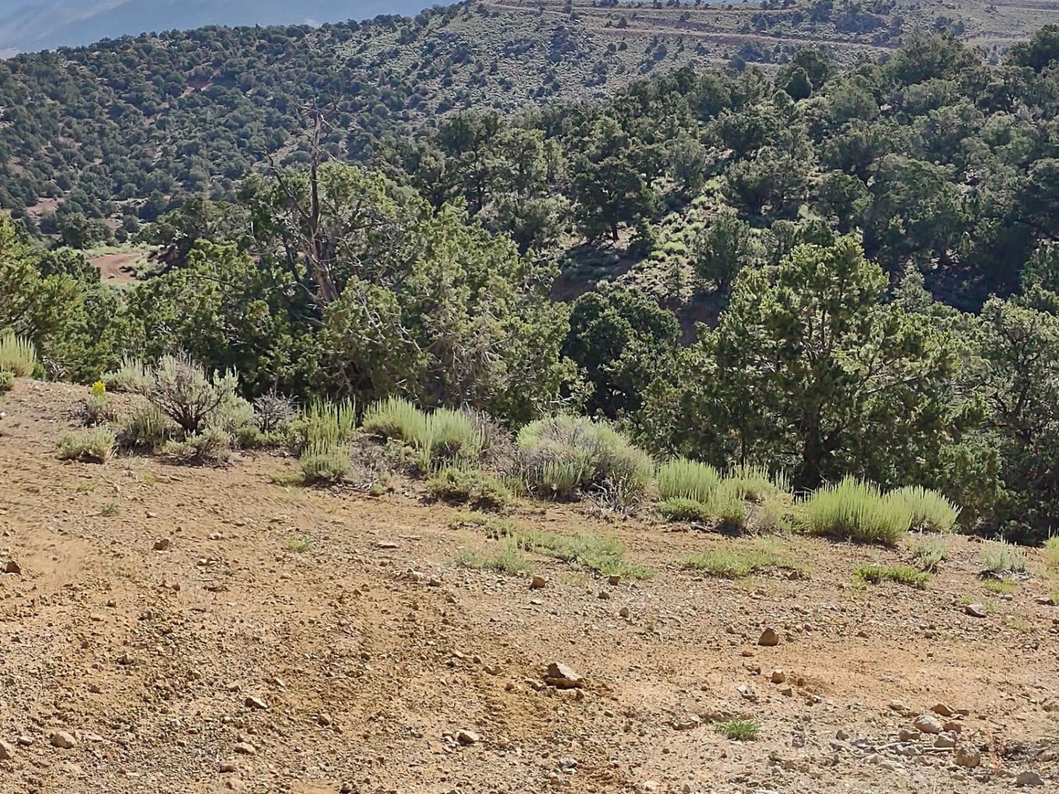
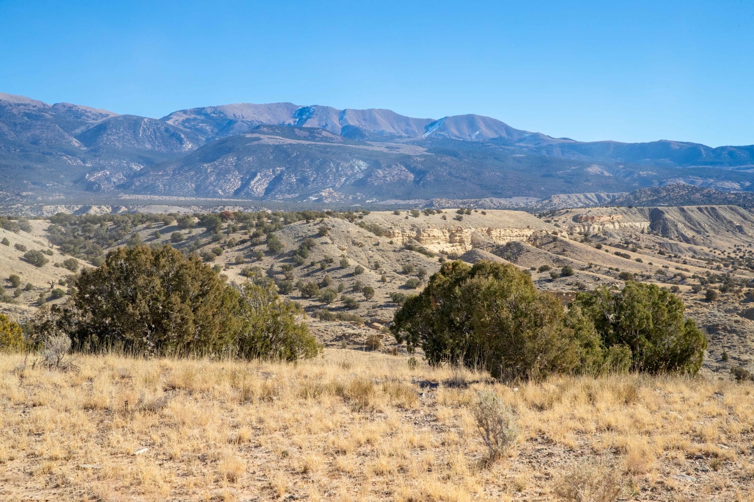
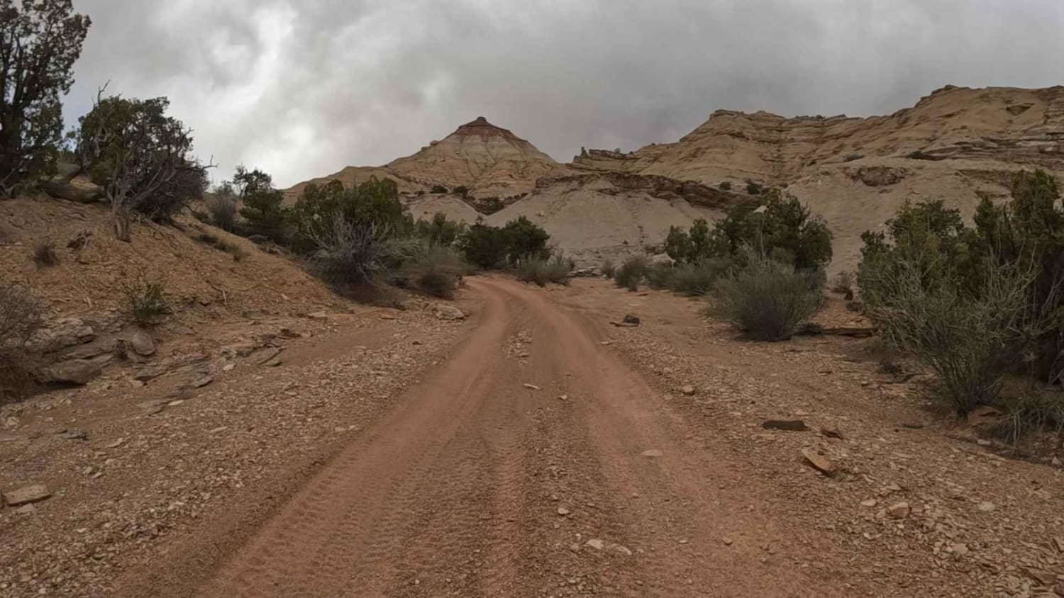
County Road 1936 is another BLM-named trail, but it's not a county road that you're used to seeing in most areas. As you can see from the pictures, grass is growing up in the middle of the "county road" in places. In some areas, it's a rocky trail, and in some areas it's sandy. It's full-width, and our 72" SXS fits easily, but in places where the trail is rocky, there are off-camber areas created by run-off in the spring or after a heavy rain, and there are hills of moderate steepness. You go over and around the foothills in the shadow of the Sevier Plateau, some of which are red dirt and rock, and others are brown, and then you drop out into the valley below at private property. The trails have access through the private property unless you're fenced out. This is a little-used riding area, but there are lots and lots of side trails out here. They provide beautiful views, exceptional riding, and room to roam! As always, slow down when going by private residences to keep the dust down, and respect the boundaries between private and public lands. And don't forget, to off-road in Utah, you need to have the online education course certificate and an OHV sticker.
Photos of County Road 1936
Difficulty
Run-off water creates erosion and causes off-camber areas in places. If wet or muddy, this trail will be more difficult. There are hills, but nothing too steep in this area.
History
This area of Southern Utah is rich in mining history, as well as dairy and cattle ranching and a sawmill operation that operated on top of the Sevier Plateau. Henry Torgerson operated a sawmill over near Monroe Peak from 1914 to 1939. The Brindley Dairy was in operation on the Sevier Plateau from 1891-1894. Old mining operations/sites can be found all over these mountains but most have no historical data.
Status Reports
County Road 1936 can be accessed by the following ride types:
- High-Clearance 4x4
- SxS (60")
- ATV (50")
- Dirt Bike
County Road 1936 Map
Popular Trails
Henry Mountain Road
Gold Gulch Loop (FS# 41082)

Miner's Ridge BLM30741
The Wickiup Loop
The onX Offroad Difference
onX Offroad combines trail photos, descriptions, difficulty ratings, width restrictions, seasonality, and more in a user-friendly interface. Available on all devices, with offline access and full compatibility with CarPlay and Android Auto. Discover what you’re missing today!