Off-Road Trails in Utah
Discover off-road trails in Utah
Learn more about North Slope Road
North Slope Road
Total Miles
24.1
Tech Rating
Easy
Best Time
Spring, Summer, Fall
Learn more about North Slope to Deep Creek
North Slope to Deep Creek
Total Miles
93.5
Tech Rating
Easy
Best Time
Summer
Learn more about North Spur Sand Well Loop
North Spur Sand Well Loop
Total Miles
4.9
Tech Rating
Easy
Best Time
Spring, Summer, Fall, Winter
Learn more about North Turkey Knob - BLM15210
North Turkey Knob - BLM15210
Total Miles
9.1
Tech Rating
Easy
Best Time
Spring, Summer, Fall, Winter
Learn more about Northeast Access Red Cliffs Rec Area
Northeast Access Red Cliffs Rec Area
Total Miles
1.9
Tech Rating
Easy
Best Time
Spring, Summer, Fall, Winter
Learn more about Northern Cathedral Valley Road
Northern Cathedral Valley Road
Total Miles
11.2
Tech Rating
Easy
Best Time
Spring, Summer, Fall, Winter
Learn more about Northern Highlands
Northern Highlands
Total Miles
2.6
Tech Rating
Easy
Best Time
Spring, Summer, Fall, Winter
Learn more about Northside E Mountain
Northside E Mountain
Total Miles
2.7
Tech Rating
Easy
Best Time
Fall, Spring
Learn more about Northside Tobin Bench
Northside Tobin Bench
Total Miles
2.0
Tech Rating
Easy
Best Time
Spring, Fall
Learn more about Northwest Sovereign 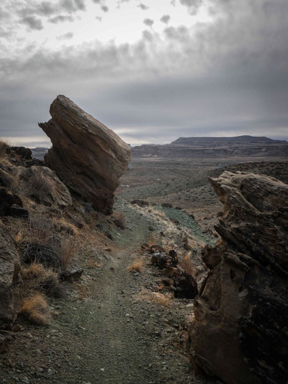
Northwest Sovereign
Total Miles
2.7
Tech Rating
Moderate
Best Time
Winter, Fall, Spring
Learn more about Norway Flat - FR 80035
Norway Flat - FR 80035
Total Miles
7.0
Tech Rating
Easy
Best Time
Summer, Fall
Learn more about Notch Peak Overlook and Amasa Basin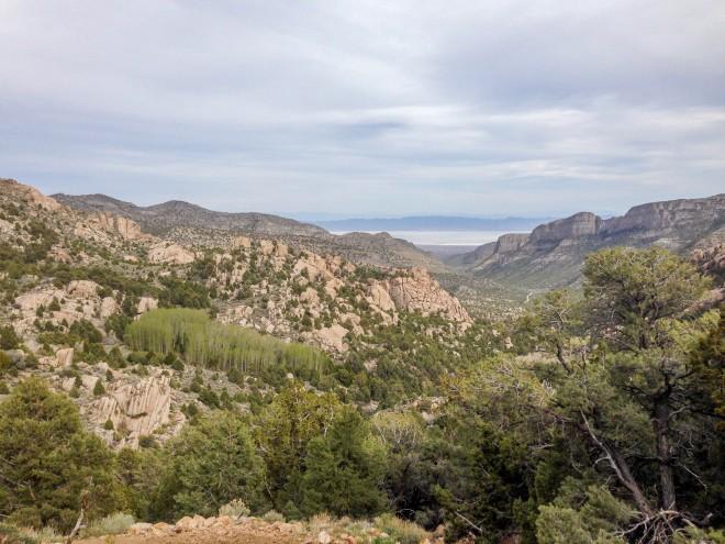
Notch Peak Overlook and Amasa Basin
Total Miles
9.1
Tech Rating
Moderate
Best Time
Fall, Winter, Spring
Learn more about Nothing to See Here Trail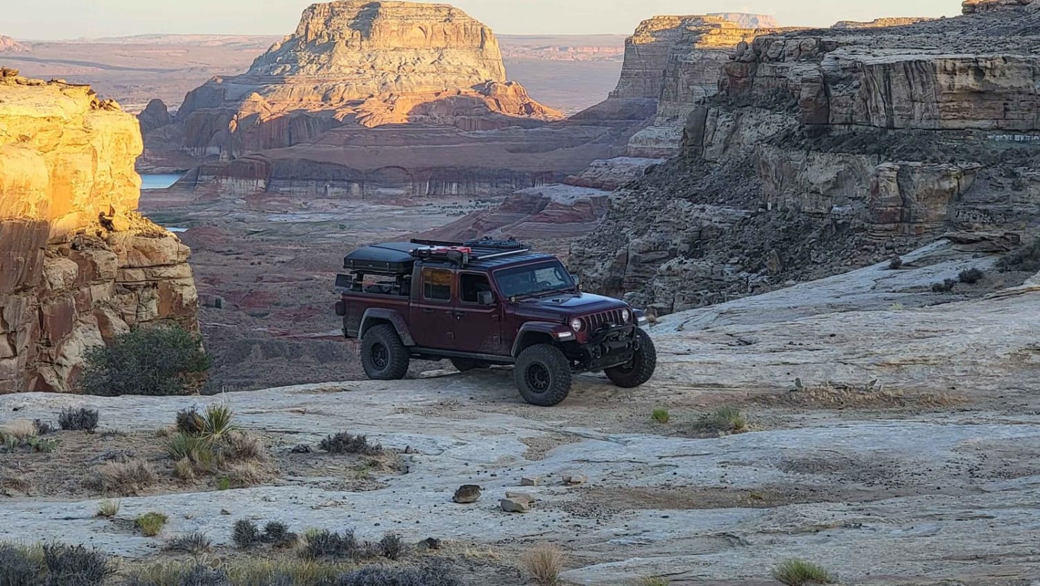
Nothing to See Here Trail
Total Miles
0.3
Tech Rating
Easy
Best Time
Spring, Fall, Winter, Summer
Learn more about Notom - Bullfrog Road South
Notom - Bullfrog Road South
Total Miles
8.1
Tech Rating
Easy
Best Time
Winter, Fall, Summer, Spring
Learn more about Nutty Putty Cave East Climb
Nutty Putty Cave East Climb
Total Miles
0.7
Tech Rating
Moderate
Best Time
Spring, Summer, Fall
Learn more about Nutty Putty Cave West Climb
Nutty Putty Cave West Climb
Total Miles
0.8
Tech Rating
Moderate
Best Time
Summer, Fall, Spring
Learn more about Oak Basin (FS# 40144)
Oak Basin (FS# 40144)
Total Miles
2.1
Tech Rating
Easy
Best Time
Spring, Summer, Fall
Learn more about Oak Belt Trail
Oak Belt Trail
Total Miles
2.1
Tech Rating
Easy
Best Time
Spring, Summer, Fall
Learn more about Oak Ridge Road
Oak Ridge Road
Total Miles
3.1
Tech Rating
Easy
Best Time
Spring, Summer, Fall
Learn more about Oak Ridge Road Access Trail
Oak Ridge Road Access Trail
Total Miles
1.1
Tech Rating
Easy
Best Time
Spring, Summer, Fall
ATV trails in Utah

Learn more about 14 Mile Road
14 Mile Road
Total Miles
14.7
Tech Rating
Easy
Best Time
Spring, Summer, Fall, Winter


UTV/side-by-side trails in Utah
Learn more about 14 Mile Road
14 Mile Road
Total Miles
14.7
Tech Rating
Easy
Best Time
Spring, Summer, Fall, Winter
The onX Offroad Difference
onX Offroad combines trail photos, descriptions, difficulty ratings, width restrictions, seasonality, and more in a user-friendly interface. Available on all devices, with offline access and full compatibility with CarPlay and Android Auto. Discover what you’re missing today!