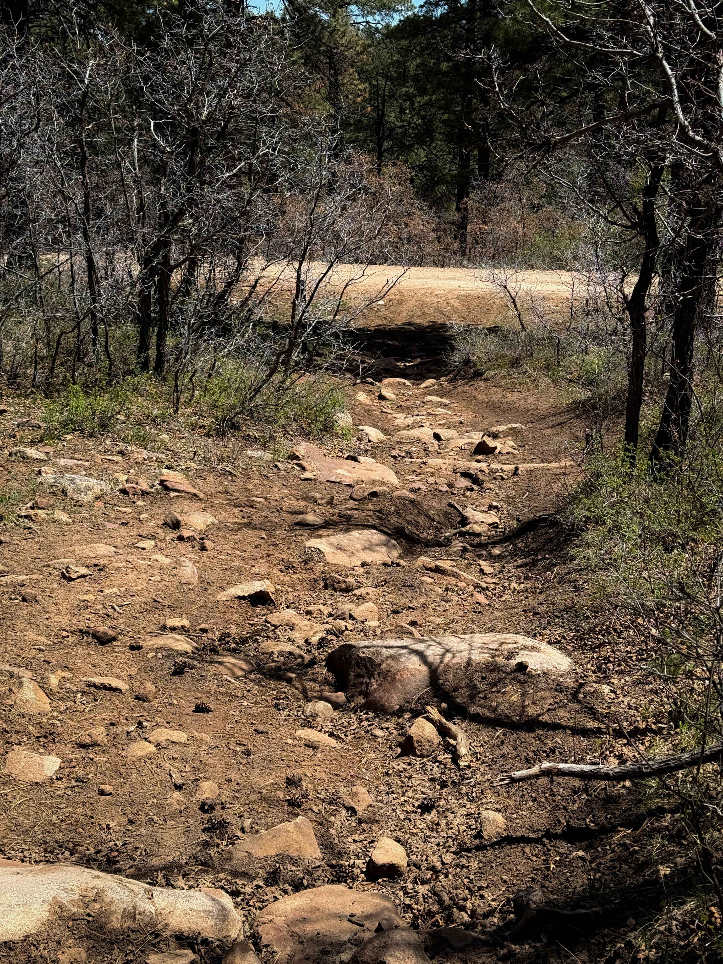
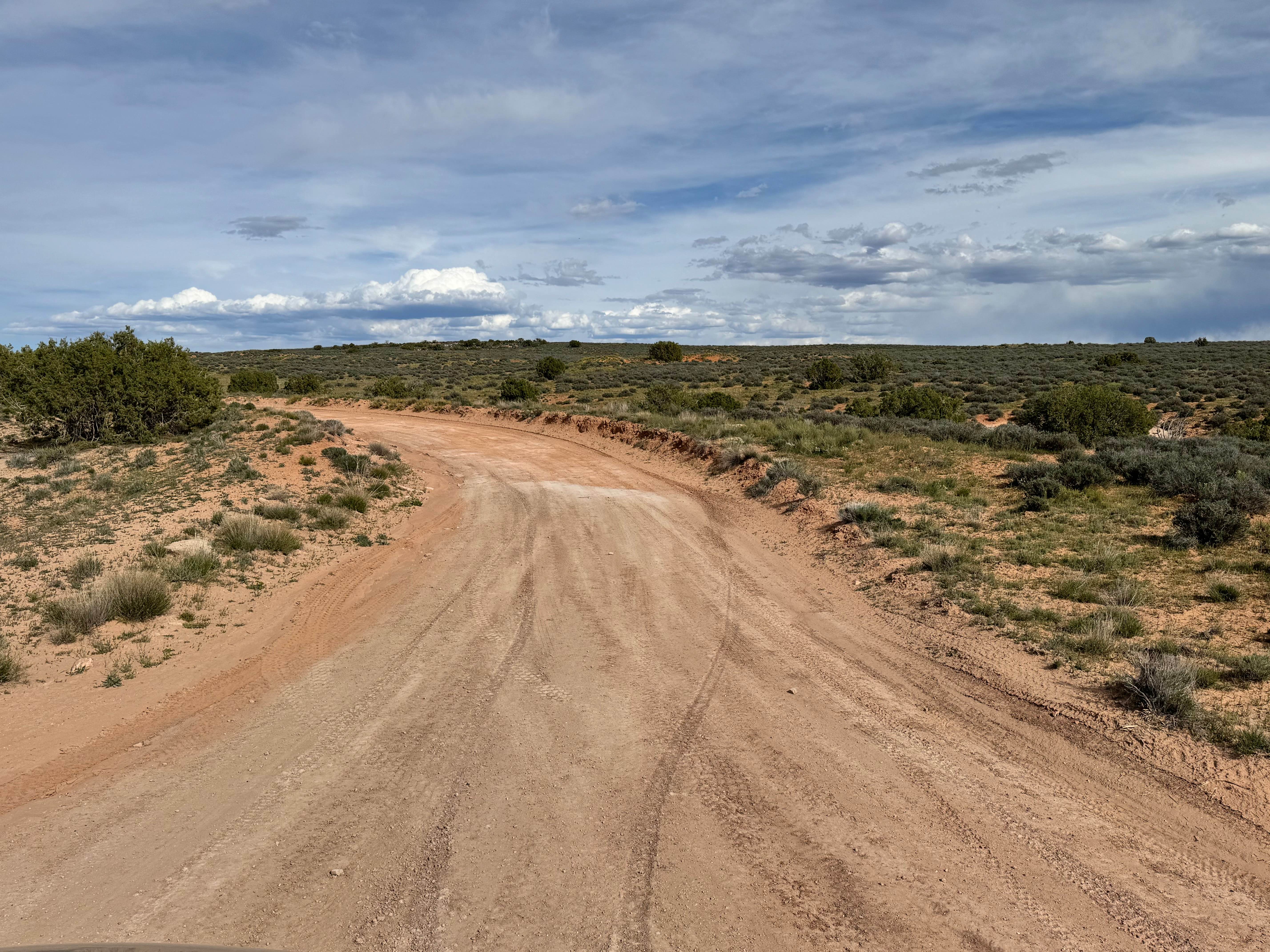
Off-Road Trails in Utah
Discover off-road trails in Utah
Learn more about Old Woman - Jolly Mill
Old Woman - Jolly Mill
Total Miles
1.7
Tech Rating
Easy
Best Time
Spring, Summer, Fall
Learn more about Old Woman Power Line
Old Woman Power Line
Total Miles
2.7
Tech Rating
Moderate
Best Time
Fall, Summer, Spring
Learn more about Olsen - Clear Creek Trail
Olsen - Clear Creek Trail
Total Miles
1.1
Tech Rating
Easy
Best Time
Fall, Summer, Spring
Learn more about Olsen Canyon
Olsen Canyon
Total Miles
7.9
Tech Rating
Moderate
Best Time
Spring, Summer, Fall
Learn more about Olsen Canyon Road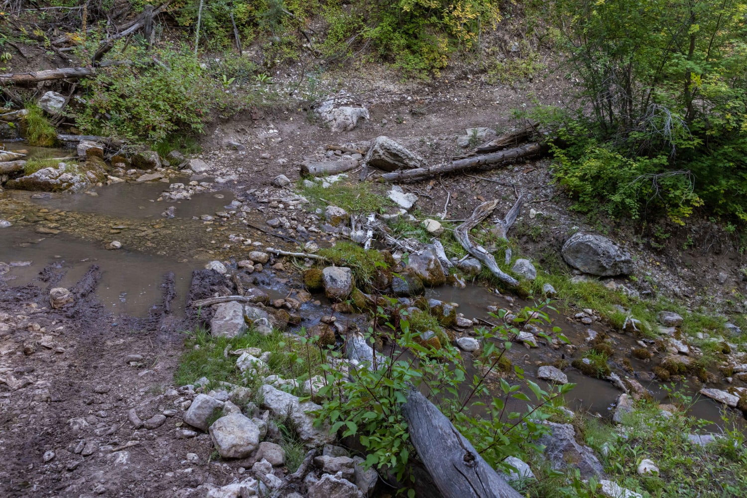
Olsen Canyon Road
Total Miles
2.6
Tech Rating
Moderate
Best Time
Fall, Summer, Spring
Learn more about Onion Creek, Fisher Towers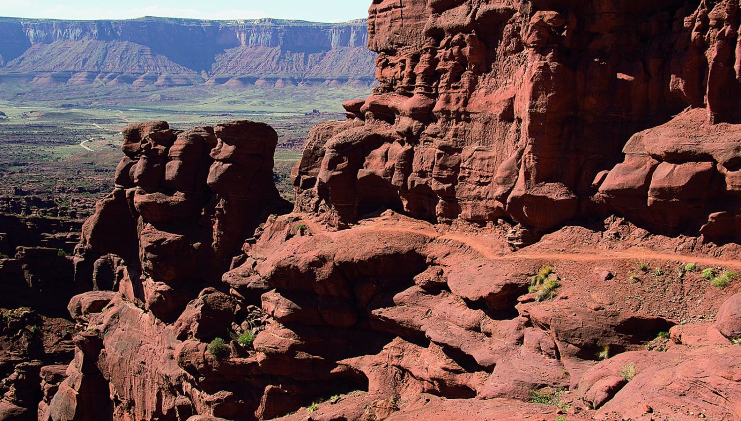
Onion Creek, Fisher Towers
Total Miles
12.5
Tech Rating
Easy
Best Time
Spring, Summer, Fall
Learn more about Open Desert Single Track
Open Desert Single Track
Total Miles
5.6
Tech Rating
Easy
Best Time
Spring, Fall
Learn more about Orange Cliffs Trail
Orange Cliffs Trail
Total Miles
14.5
Tech Rating
Easy
Best Time
Spring, Summer, Fall
Learn more about Orange Trail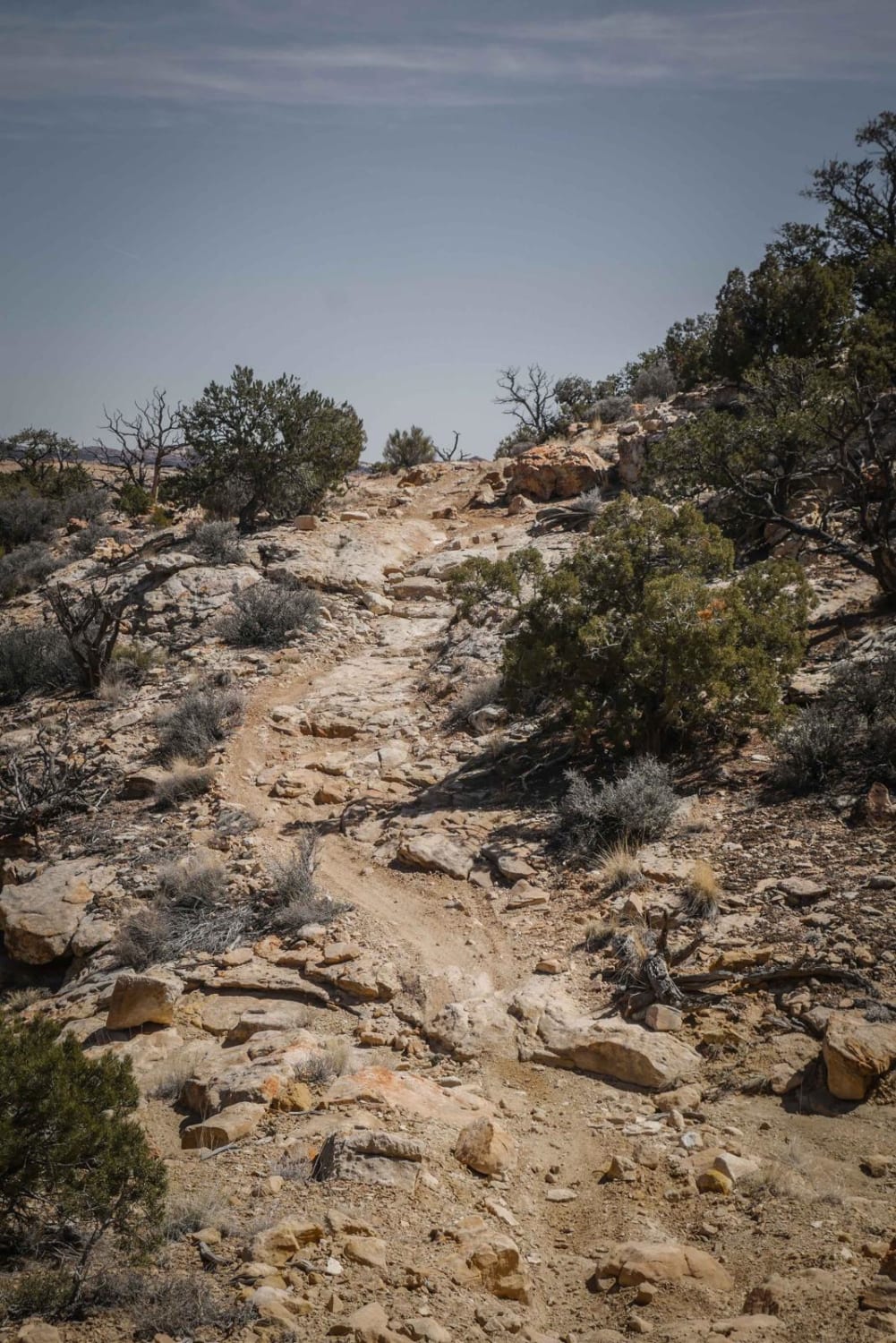
Orange Trail
Total Miles
6.5
Tech Rating
Moderate
Best Time
Winter, Fall, Spring
Learn more about Orange Trail Overlook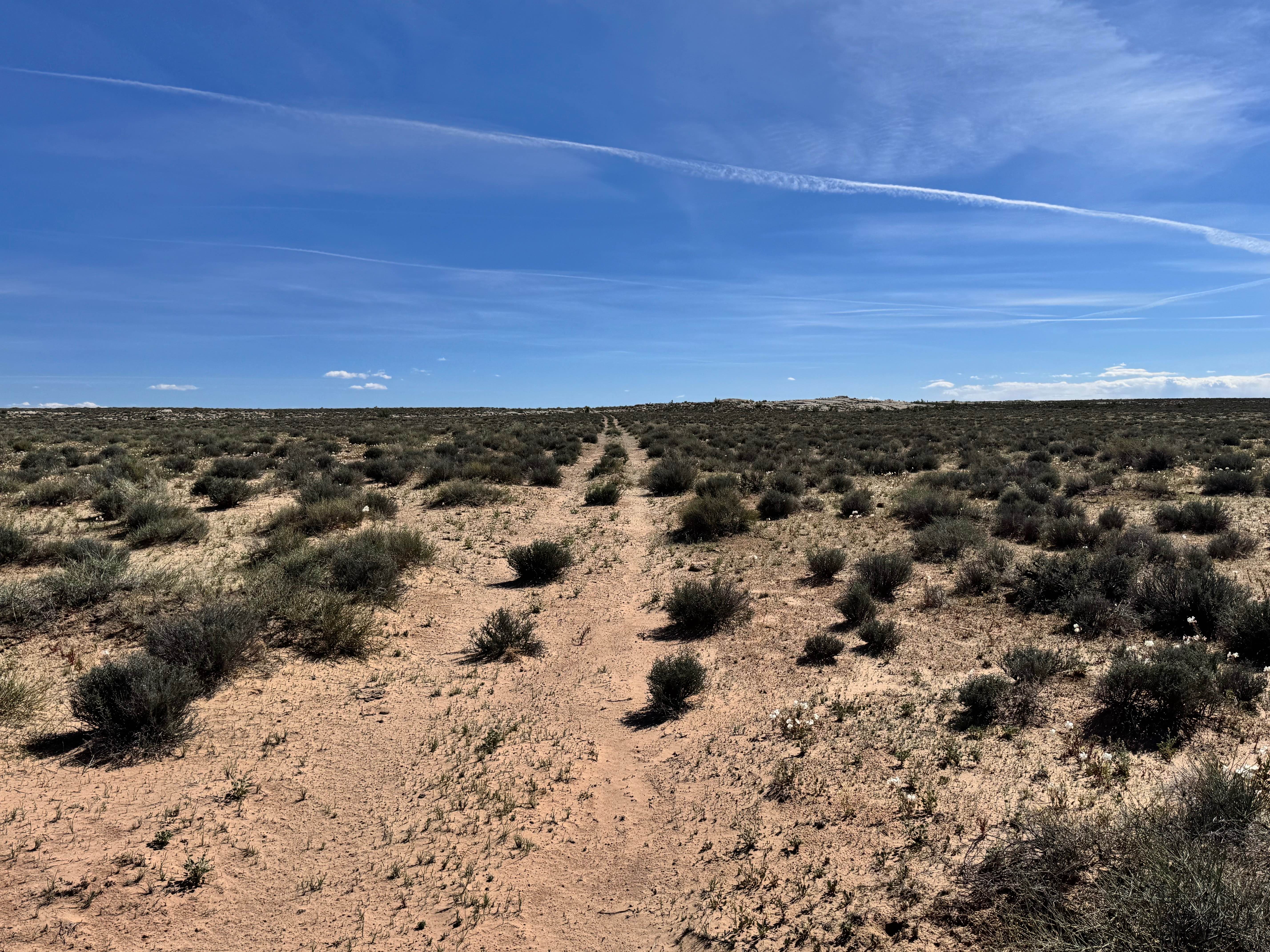
Orange Trail Overlook
Total Miles
1.9
Tech Rating
Easy
Best Time
Spring, Summer, Fall, Winter
Learn more about Orange Trail Shelf Road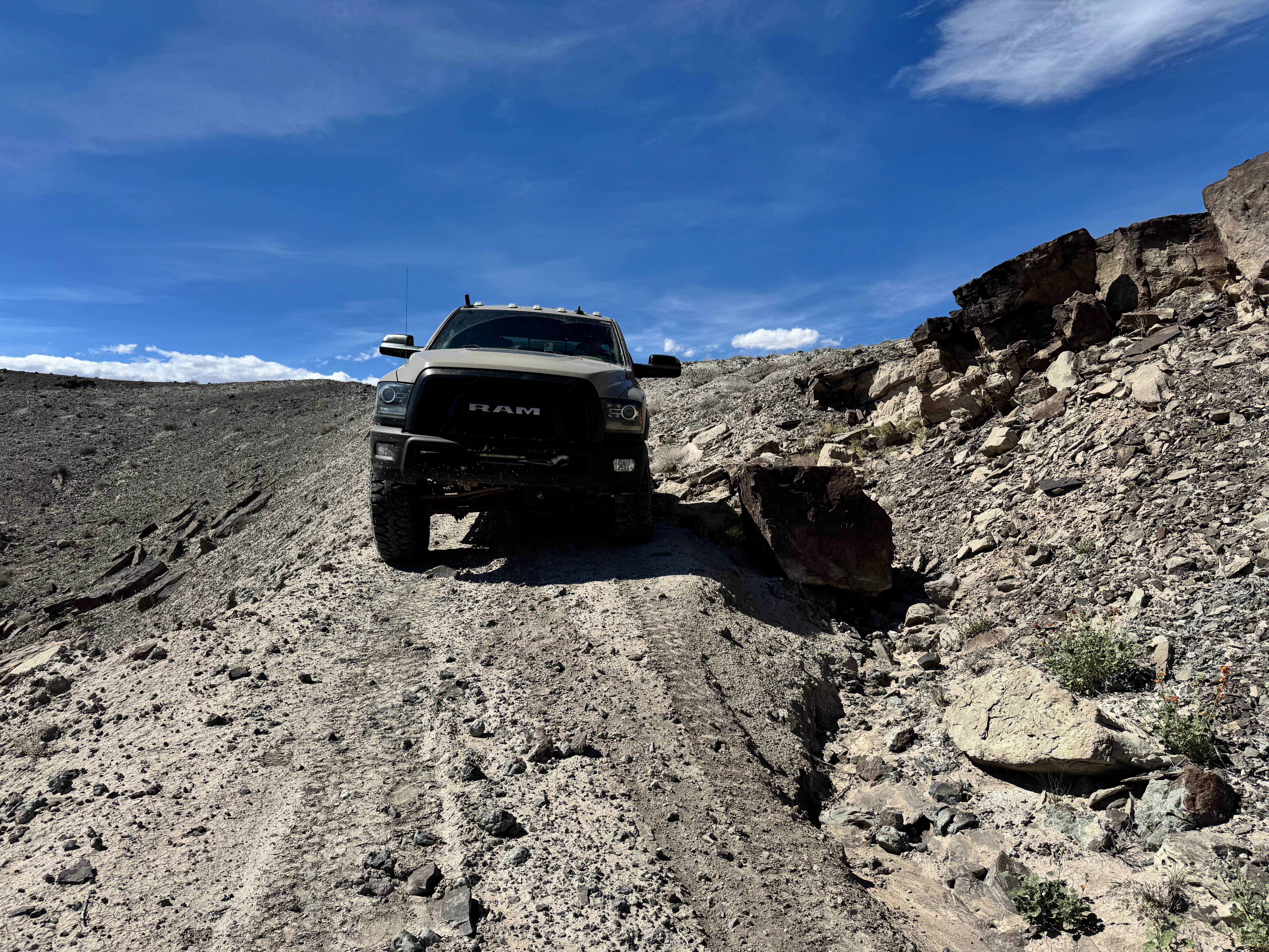
Orange Trail Shelf Road
Total Miles
1.4
Tech Rating
Moderate
Best Time
Spring, Summer, Fall
Learn more about Order Mountain Trail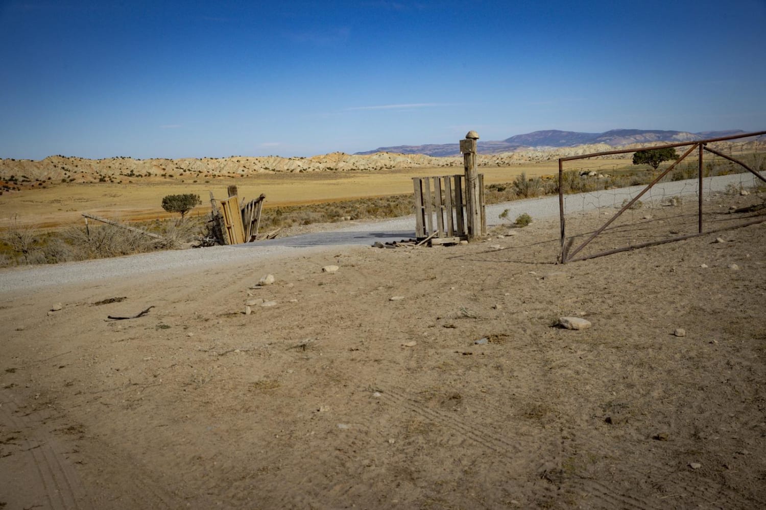
Order Mountain Trail
Total Miles
7.3
Tech Rating
Moderate
Best Time
Spring, Summer, Fall
Learn more about Oro Del Rey Mine and Goshute Canyon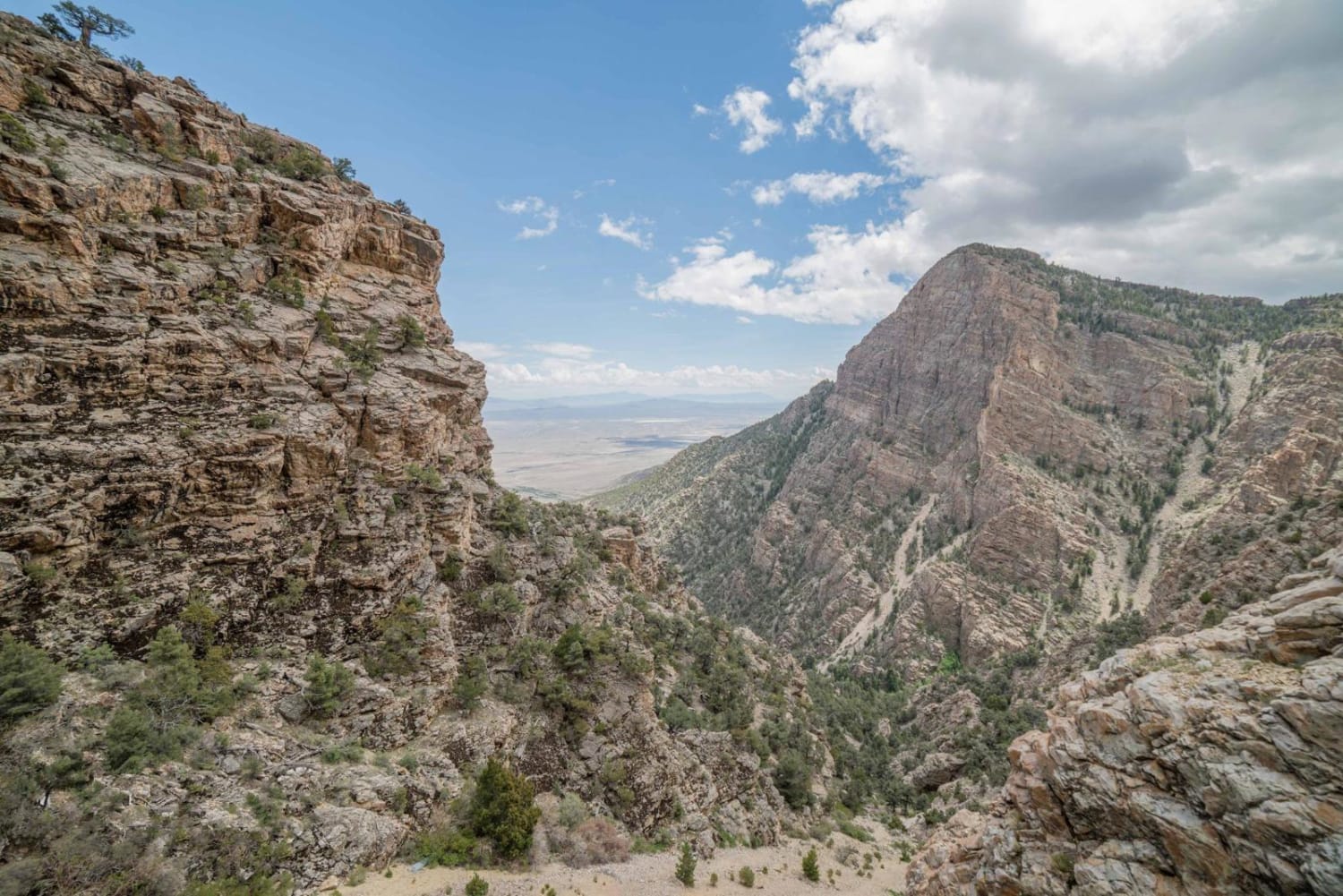
Oro Del Rey Mine and Goshute Canyon
Total Miles
4.3
Tech Rating
Difficult
Best Time
Spring, Summer, Fall, Winter
Learn more about Over Hill, Over Dale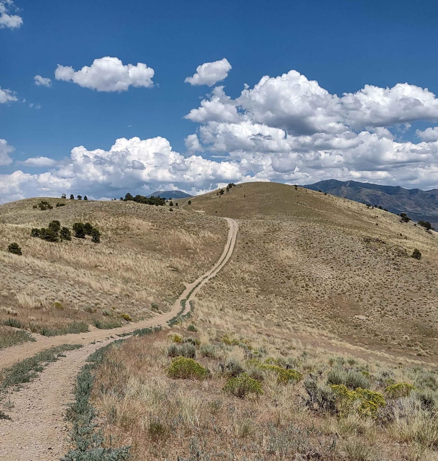
Over Hill, Over Dale
Total Miles
2.5
Tech Rating
Easy
Best Time
Spring, Summer, Fall
Learn more about Overlook Trail Part 1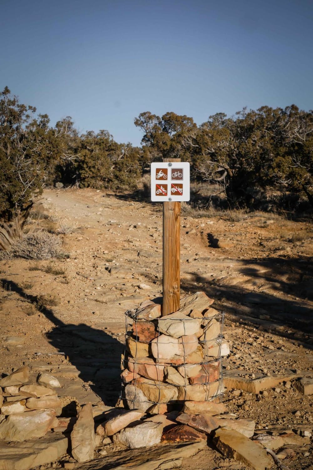
Overlook Trail Part 1
Total Miles
4.0
Tech Rating
Easy
Best Time
Fall, Spring
Learn more about Overlook Trail Part 2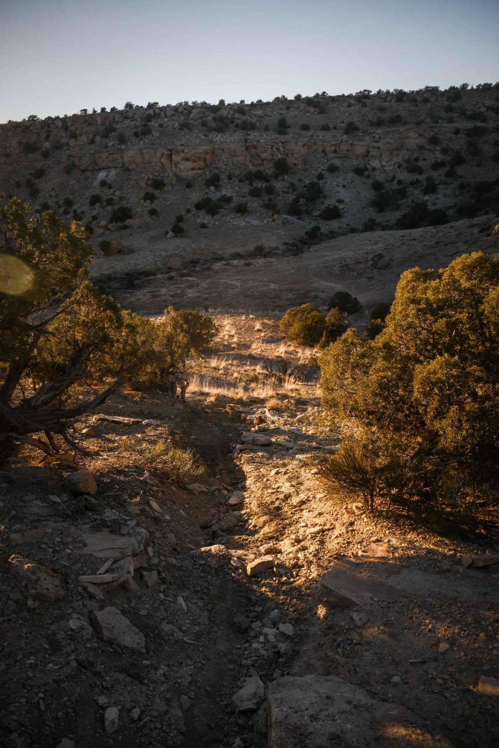
Overlook Trail Part 2
Total Miles
2.6
Tech Rating
Moderate
Best Time
Fall, Spring
Learn more about Ox Valley Road
Ox Valley Road
Total Miles
7.6
Tech Rating
Easy
Best Time
Fall, Summer, Spring
ATV trails in Utah

Learn more about 14 Mile Road
14 Mile Road
Total Miles
14.7
Tech Rating
Easy
Best Time
Spring, Summer, Fall, Winter


UTV/side-by-side trails in Utah
Learn more about 14 Mile Road
14 Mile Road
Total Miles
14.7
Tech Rating
Easy
Best Time
Spring, Summer, Fall, Winter
The onX Offroad Difference
onX Offroad combines trail photos, descriptions, difficulty ratings, width restrictions, seasonality, and more in a user-friendly interface. Available on all devices, with offline access and full compatibility with CarPlay and Android Auto. Discover what you’re missing today!