Off-Road Trails in Utah
Discover off-road trails in Utah
Learn more about Parker Mountain Trail (PMT) 14 (continuation) to PMT 1 
Parker Mountain Trail (PMT) 14 (continuation) to PMT 1
Total Miles
1.3
Tech Rating
Easy
Best Time
Spring, Summer, Fall
Learn more about Parker Mountain Trail (PMT) 14 to PMT 15
Parker Mountain Trail (PMT) 14 to PMT 15
Total Miles
7.4
Tech Rating
Easy
Best Time
Summer
Learn more about Parker Mountain Trail 1 to Long Hollow Road
Parker Mountain Trail 1 to Long Hollow Road
Total Miles
7.2
Tech Rating
Easy
Best Time
Summer, Fall, Spring
Learn more about Parker Mountain Trail 14 to Junction Shallow Hollow Road
Parker Mountain Trail 14 to Junction Shallow Hollow Road
Total Miles
5.6
Tech Rating
Easy
Best Time
Spring, Summer, Fall
Learn more about Pass Cr Ridge (FR 70242)
Pass Cr Ridge (FR 70242)
Total Miles
1.4
Tech Rating
Easy
Best Time
Summer, Fall
Learn more about Pass On This One
Pass On This One
Total Miles
0.5
Tech Rating
Moderate
Best Time
Fall, Spring
Learn more about Pass Road-Beaver County 3
Pass Road-Beaver County 3
Total Miles
18.1
Tech Rating
Easy
Best Time
Spring, Summer, Fall, Winter
Learn more about Patton's Boot
Patton's Boot
Total Miles
1.8
Tech Rating
Easy
Best Time
Spring, Summer, Fall
Learn more about Paul Bunyan's Woodpile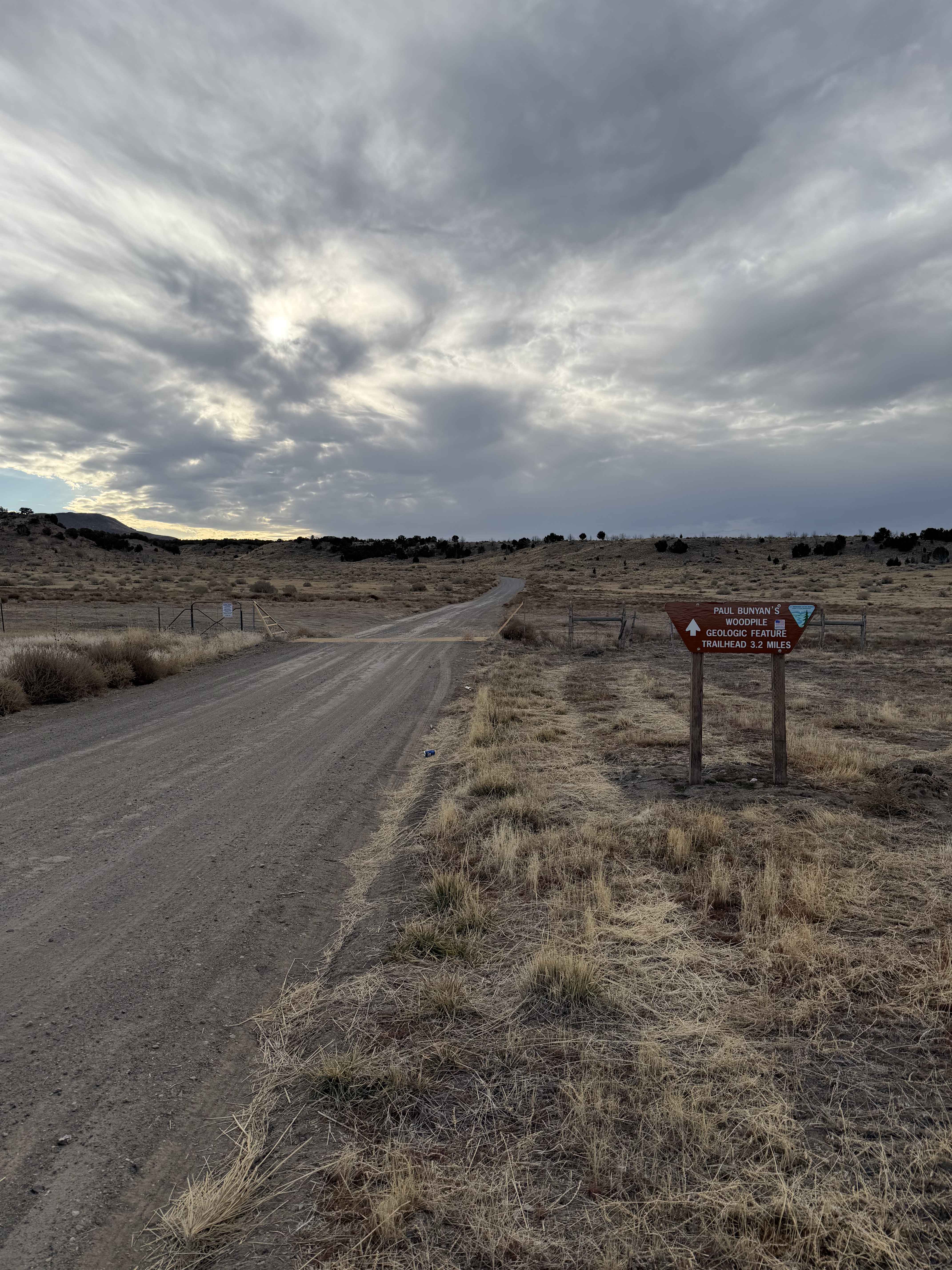
Paul Bunyan's Woodpile
Total Miles
3.2
Tech Rating
Easy
Best Time
Spring, Fall, Winter, Summer
Learn more about Paunsaugunt ATV Trail North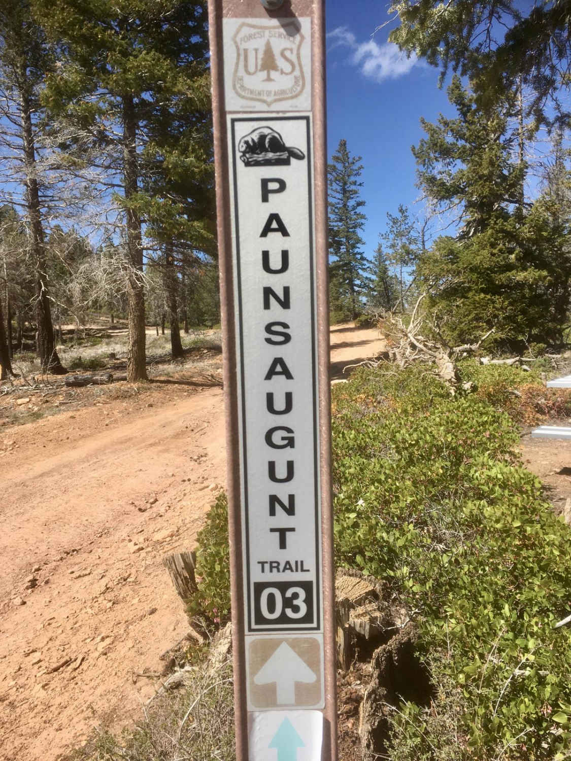
Paunsaugunt ATV Trail North
Total Miles
20.3
Tech Rating
Moderate
Best Time
Spring, Summer, Fall
Learn more about Peek-A-Boo Slot Canyon Loop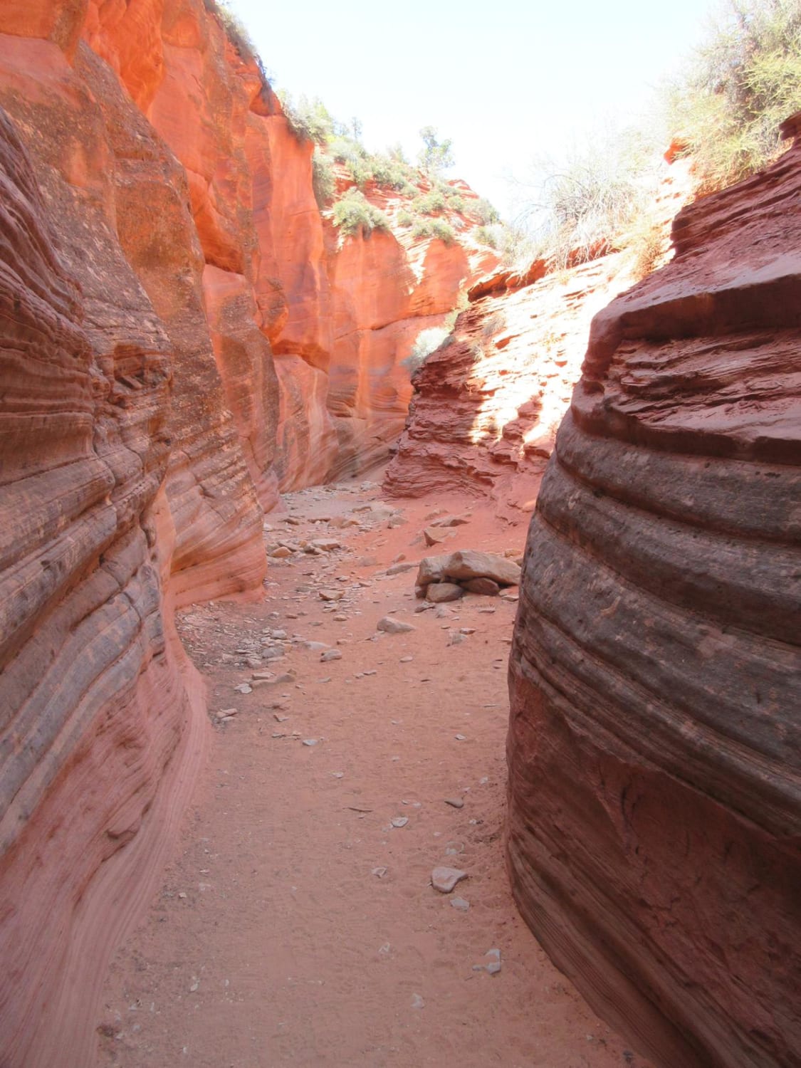
Peek-A-Boo Slot Canyon Loop
Total Miles
7.6
Tech Rating
Easy
Best Time
Spring, Fall
Learn more about Pelican Promontory Overlook
Pelican Promontory Overlook
Total Miles
0.9
Tech Rating
Easy
Best Time
Spring, Summer, Fall
Learn more about Peter Sinks and Temple Peak Area Trails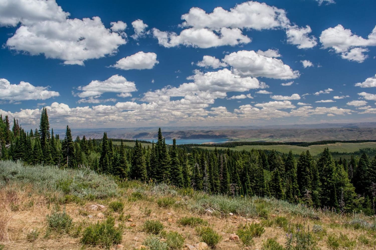
Peter Sinks and Temple Peak Area Trails
Total Miles
15.1
Tech Rating
Moderate
Best Time
Spring, Summer, Fall, Winter
Learn more about Peter's Leep-Mormon Trail
Peter's Leep-Mormon Trail
Total Miles
3.6
Tech Rating
Moderate
Best Time
Spring, Summer, Fall, Winter
Learn more about Peterson Point-NFR30697
Peterson Point-NFR30697
Total Miles
2.6
Tech Rating
Easy
Best Time
Spring, Summer, Fall
Learn more about Petroglyph Experience (103C/1103) 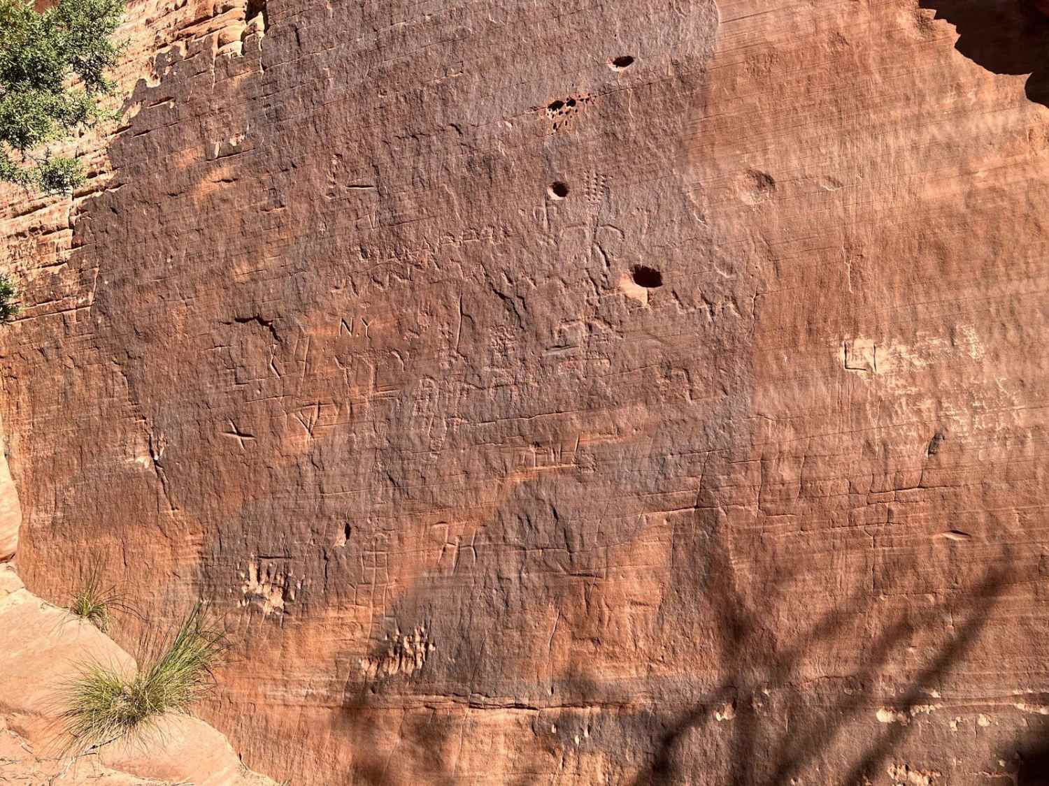
Petroglyph Experience (103C/1103)
Total Miles
3.5
Tech Rating
Easy
Best Time
Summer, Fall, Winter, Spring
Learn more about Pilot Mountain Road 
Pilot Mountain Road
Total Miles
41.5
Tech Rating
Easy
Best Time
Fall, Summer, Spring, Winter
Learn more about Pinchot to Cowboy Camp Trail
Pinchot to Cowboy Camp Trail
Total Miles
1.9
Tech Rating
Easy
Best Time
Spring, Summer, Fall
ATV trails in Utah

Learn more about 14 Mile Road
14 Mile Road
Total Miles
14.7
Tech Rating
Easy
Best Time
Spring, Summer, Fall, Winter


UTV/side-by-side trails in Utah
Learn more about 14 Mile Road
14 Mile Road
Total Miles
14.7
Tech Rating
Easy
Best Time
Spring, Summer, Fall, Winter
The onX Offroad Difference
onX Offroad combines trail photos, descriptions, difficulty ratings, width restrictions, seasonality, and more in a user-friendly interface. Available on all devices, with offline access and full compatibility with CarPlay and Android Auto. Discover what you’re missing today!