Off-Road Trails in Utah
Discover off-road trails in Utah
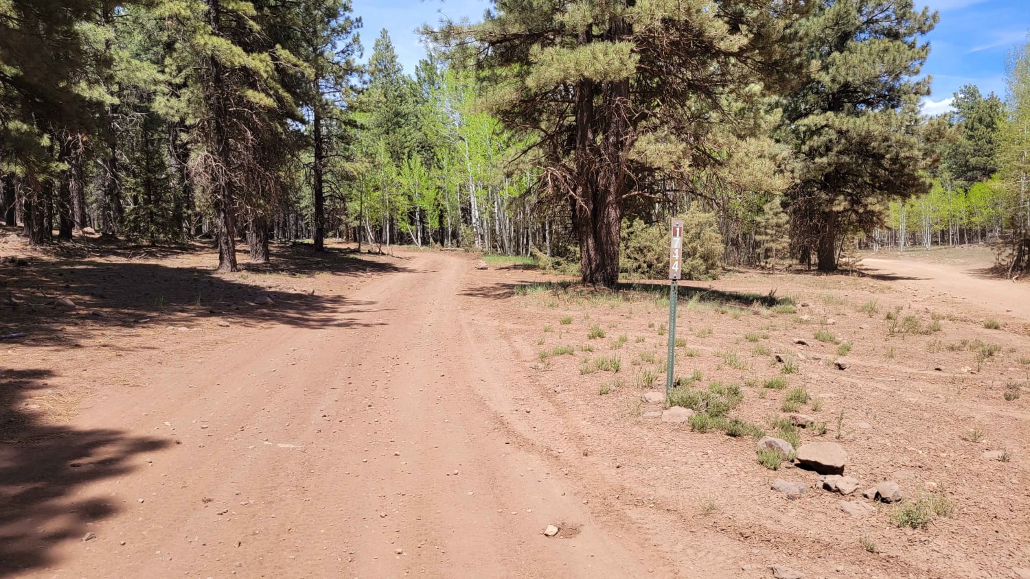
Learn more about Piute Reservoir Overlook (FS# 41081)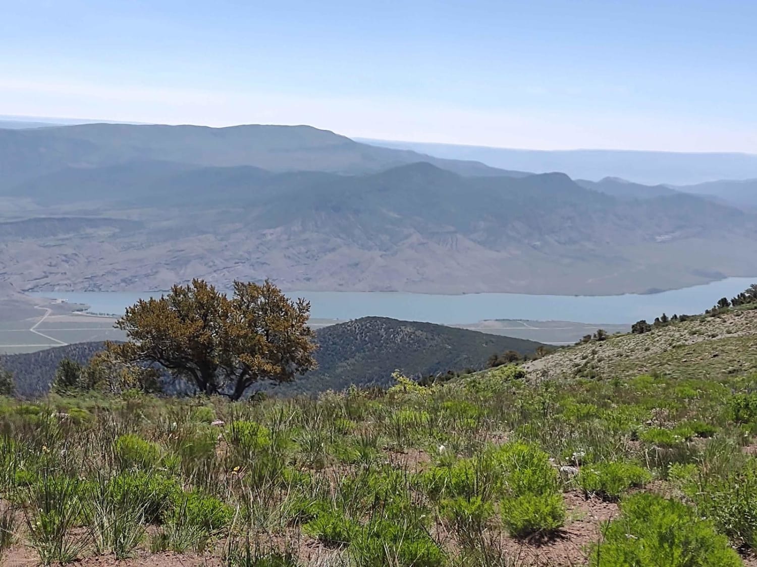
Piute Reservoir Overlook (FS# 41081)
Total Miles
0.9
Tech Rating
Easy
Best Time
Summer, Fall
Learn more about Piute Reservoir Parking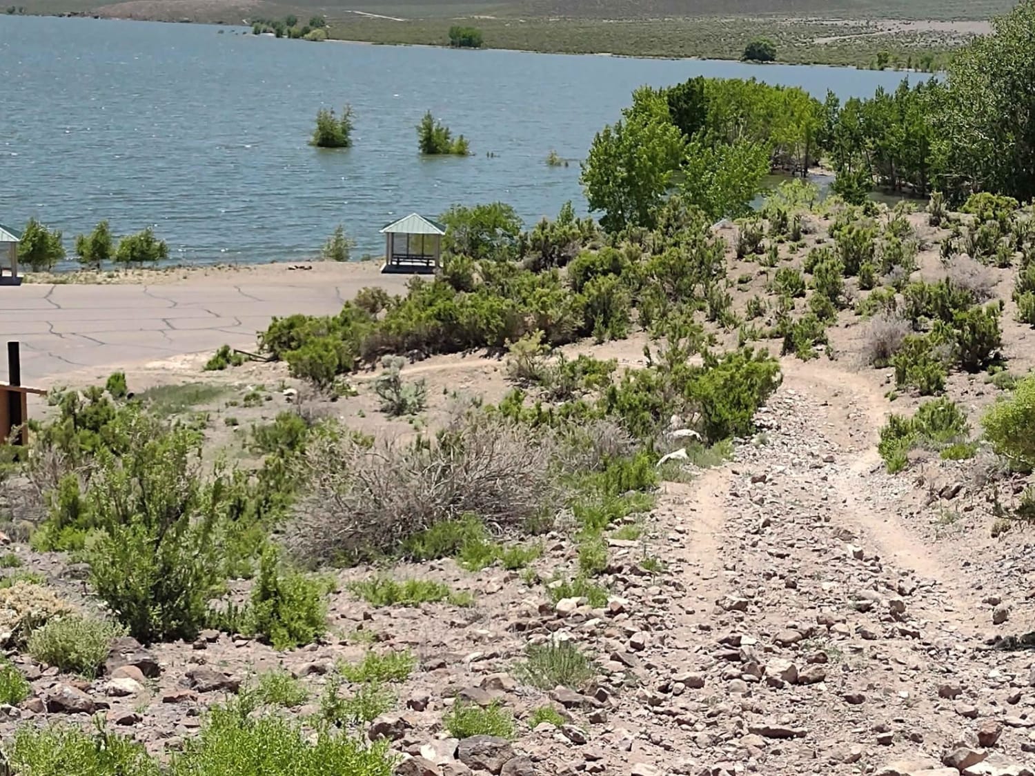
Piute Reservoir Parking
Total Miles
0.6
Tech Rating
Easy
Best Time
Summer, Fall, Spring
Learn more about Plan B North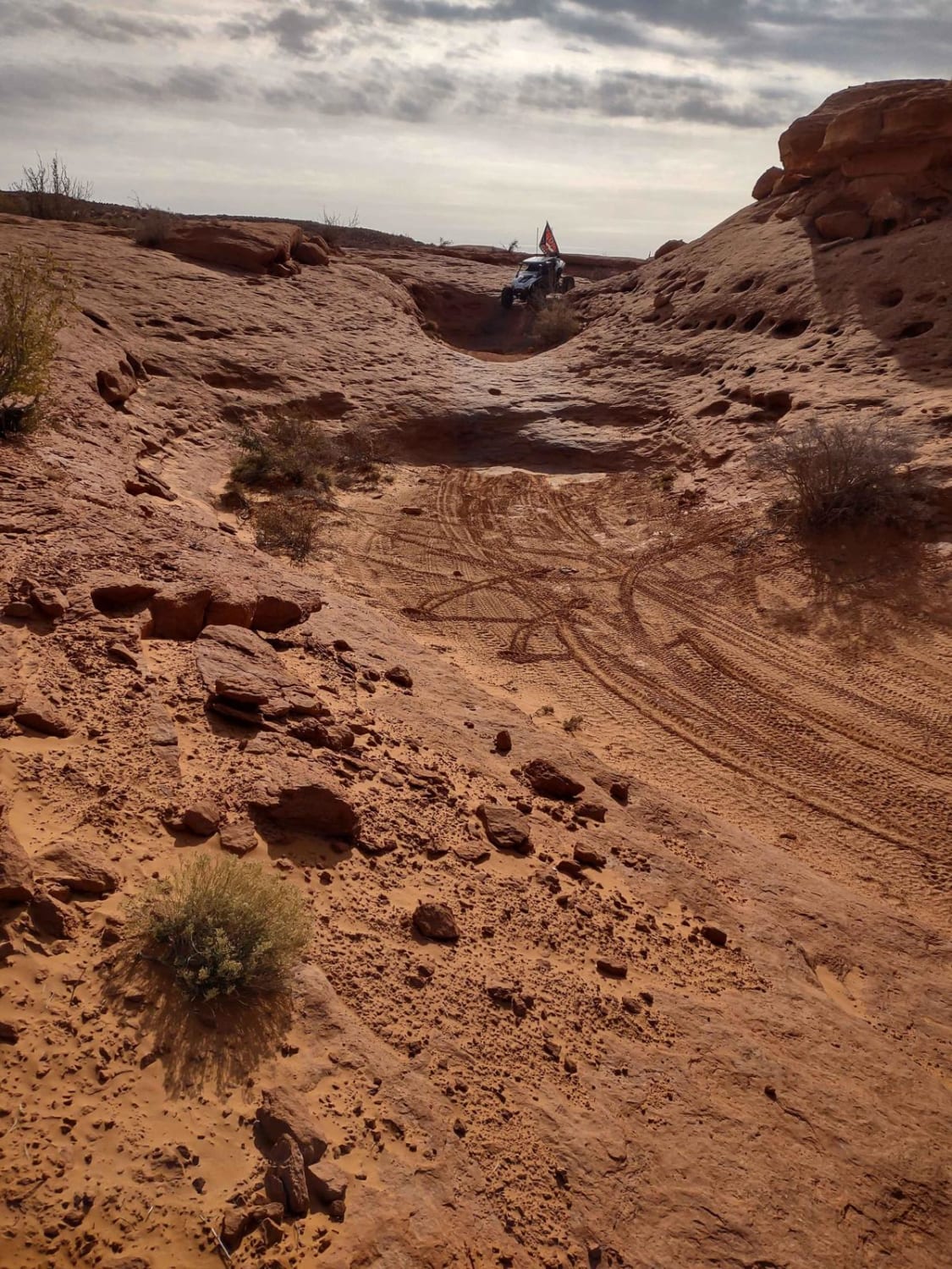
Plan B North
Total Miles
1.4
Tech Rating
Difficult
Best Time
Spring, Fall, Winter, Summer
Learn more about Plan B South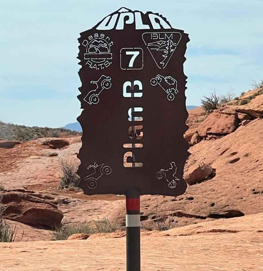
Plan B South
Total Miles
0.7
Tech Rating
Difficult
Best Time
Spring, Summer, Fall, Winter
Learn more about Pleasant Creek (South Draw Road)
Pleasant Creek (South Draw Road)
Total Miles
7.8
Tech Rating
Easy
Best Time
Spring, Summer, Fall
Learn more about Podunk Cougar Hollow Loop
Podunk Cougar Hollow Loop
Total Miles
8.6
Tech Rating
Easy
Best Time
Summer, Spring, Fall
Learn more about Poison Mountain
Poison Mountain
Total Miles
5.5
Tech Rating
Easy
Best Time
Summer, Spring, Fall
Learn more about Poison Spider Mesa
Poison Spider Mesa
Total Miles
9.5
Tech Rating
Difficult
Best Time
Spring, Summer, Fall
Learn more about Poison Spring Canyon
Poison Spring Canyon
Total Miles
41.6
Tech Rating
Moderate
Best Time
Spring, Summer, Fall
Learn more about Pole Canyon Road
Pole Canyon Road
Total Miles
6.1
Tech Rating
Easy
Best Time
Spring, Summer, Fall
Learn more about Pole Canyon Trail
Pole Canyon Trail
Total Miles
1.6
Tech Rating
Easy
Best Time
Fall, Summer, Winter, Spring
Learn more about Polliwog-Big Swale - FR 129
Polliwog-Big Swale - FR 129
Total Miles
12.8
Tech Rating
Easy
Best Time
Spring, Fall
Learn more about Polly Springs
Polly Springs
Total Miles
2.2
Tech Rating
Moderate
Best Time
Spring, Summer, Fall
Learn more about Ponderosa Loop Mini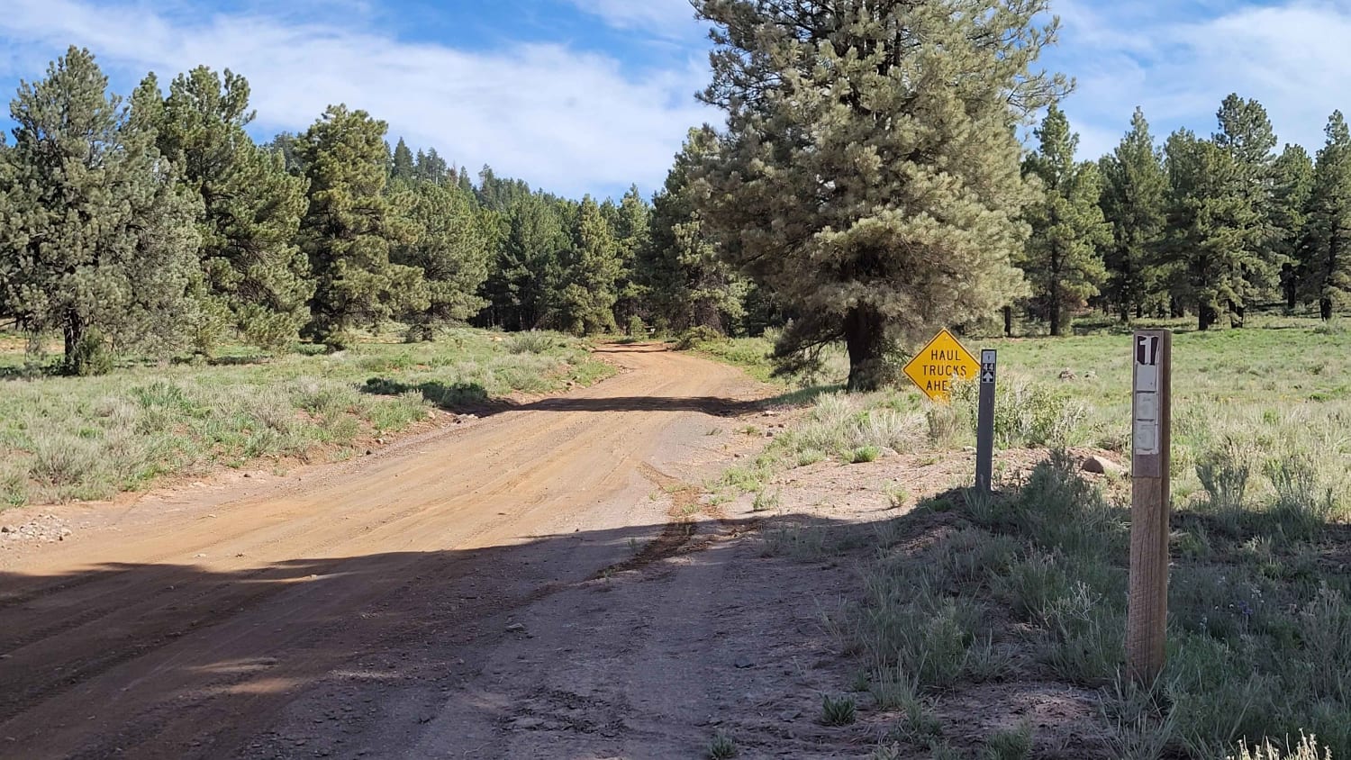
Ponderosa Loop Mini
Total Miles
1.6
Tech Rating
Easy
Best Time
Fall, Summer
Learn more about Pony Express Trail Simpson Springs
Pony Express Trail Simpson Springs
Total Miles
25.1
Tech Rating
Easy
Best Time
Spring, Summer, Fall, Winter
Learn more about Porcupine Rim
Porcupine Rim
Total Miles
17.9
Tech Rating
Moderate
Best Time
Spring, Summer, Fall, Winter
Learn more about Post Road Trail
Post Road Trail
Total Miles
7.4
Tech Rating
Easy
Best Time
Spring, Summer, Fall
ATV trails in Utah

Learn more about 14 Mile Road
14 Mile Road
Total Miles
14.7
Tech Rating
Easy
Best Time
Spring, Summer, Fall, Winter


UTV/side-by-side trails in Utah
Learn more about 14 Mile Road
14 Mile Road
Total Miles
14.7
Tech Rating
Easy
Best Time
Spring, Summer, Fall, Winter
The onX Offroad Difference
onX Offroad combines trail photos, descriptions, difficulty ratings, width restrictions, seasonality, and more in a user-friendly interface. Available on all devices, with offline access and full compatibility with CarPlay and Android Auto. Discover what you’re missing today!