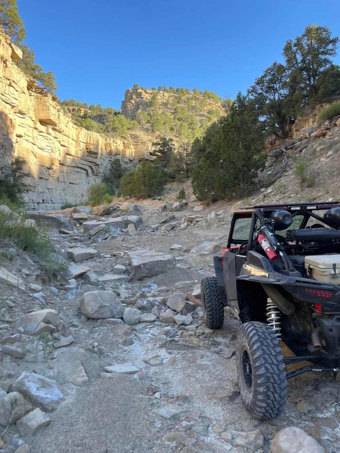
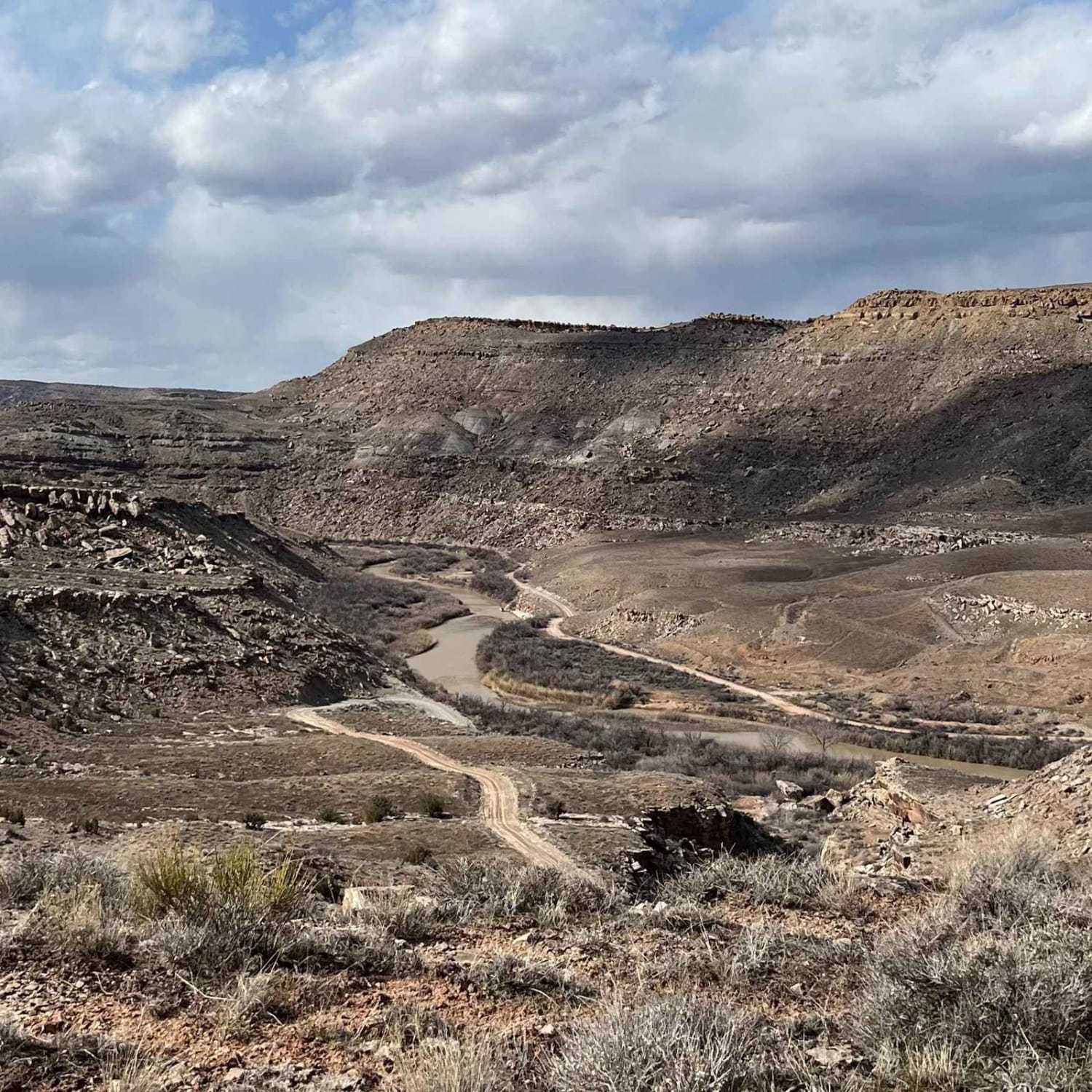
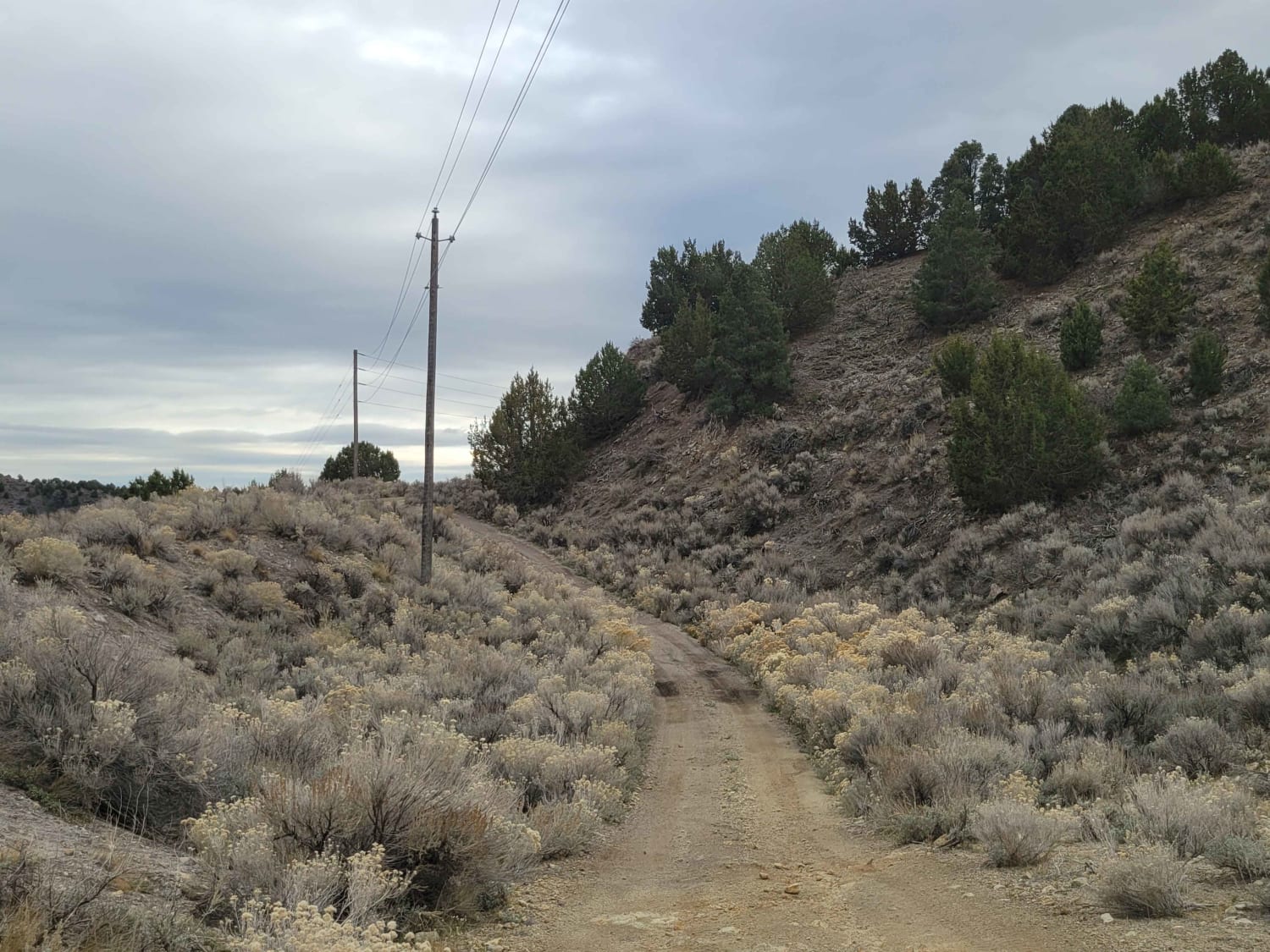
Off-Road Trails in Utah
Discover off-road trails in Utah
Learn more about Pinchot Trail
Pinchot Trail
Total Miles
5.6
Tech Rating
Moderate
Best Time
Fall, Summer, Spring
Learn more about Pine Creek Road FS 30153
Pine Creek Road FS 30153
Total Miles
10.3
Tech Rating
Easy
Best Time
Spring, Summer, Fall
Learn more about Pine Hollow - FS 10655
Pine Hollow - FS 10655
Total Miles
2.6
Tech Rating
Moderate
Best Time
Spring, Summer, Fall
Learn more about Pine Hollow (2047)
Pine Hollow (2047)
Total Miles
1.8
Tech Rating
Moderate
Best Time
Summer, Fall
Learn more about Pine Park Road-White Rock Road-FR30004
Pine Park Road-White Rock Road-FR30004
Total Miles
9.5
Tech Rating
Easy
Best Time
Spring
Learn more about Pine Valley Mahogany Bench
Pine Valley Mahogany Bench
Total Miles
5.9
Tech Rating
Easy
Best Time
Spring, Summer, Fall
Learn more about Pine Valley Road
Pine Valley Road
Total Miles
29.5
Tech Rating
Easy
Best Time
Spring, Summer, Fall, Winter
Learn more about Pinenut Flat Trail
Pinenut Flat Trail
Total Miles
4.2
Tech Rating
Moderate
Best Time
Fall, Summer, Spring
Learn more about Pink Cliffs Alternate Trail
Pink Cliffs Alternate Trail
Total Miles
3.3
Tech Rating
Easy
Best Time
Summer, Fall, Spring
Learn more about Pink Cliffs Viewpoint Loop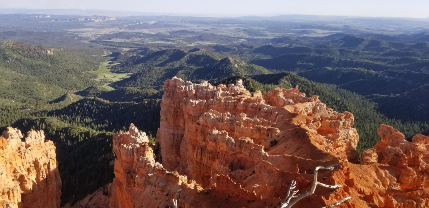
Pink Cliffs Viewpoint Loop
Total Miles
11.3
Tech Rating
Moderate
Best Time
Summer
Learn more about Pinnacle Trail
Pinnacle Trail
Total Miles
1.2
Tech Rating
Easy
Best Time
Winter, Fall, Spring
Learn more about Pipeline East
Pipeline East
Total Miles
5.6
Tech Rating
Easy
Best Time
Spring, Summer, Fall
Learn more about Pit & Page Hill (FR 80170)
Pit & Page Hill (FR 80170)
Total Miles
4.1
Tech Rating
Easy
Best Time
Summer, Fall
Learn more about Pit & Page S (FR 83135)
Pit & Page S (FR 83135)
Total Miles
1.5
Tech Rating
Moderate
Best Time
Summer, Fall
Learn more about Pit & Page S14 (FR 80930)
Pit & Page S14 (FR 80930)
Total Miles
0.9
Tech Rating
Easy
Best Time
Summer, Fall
Learn more about Piuta - FS 70103
Piuta - FS 70103
Total Miles
1.8
Tech Rating
Easy
Best Time
Spring, Summer
Learn more about Piute Pass Trail
Piute Pass Trail
Total Miles
2.3
Tech Rating
Moderate
Best Time
Spring, Summer, Fall
ATV trails in Utah

Learn more about 14 Mile Road
14 Mile Road
Total Miles
14.7
Tech Rating
Easy
Best Time
Spring, Summer, Fall, Winter


UTV/side-by-side trails in Utah
Learn more about 14 Mile Road
14 Mile Road
Total Miles
14.7
Tech Rating
Easy
Best Time
Spring, Summer, Fall, Winter
The onX Offroad Difference
onX Offroad combines trail photos, descriptions, difficulty ratings, width restrictions, seasonality, and more in a user-friendly interface. Available on all devices, with offline access and full compatibility with CarPlay and Android Auto. Discover what you’re missing today!