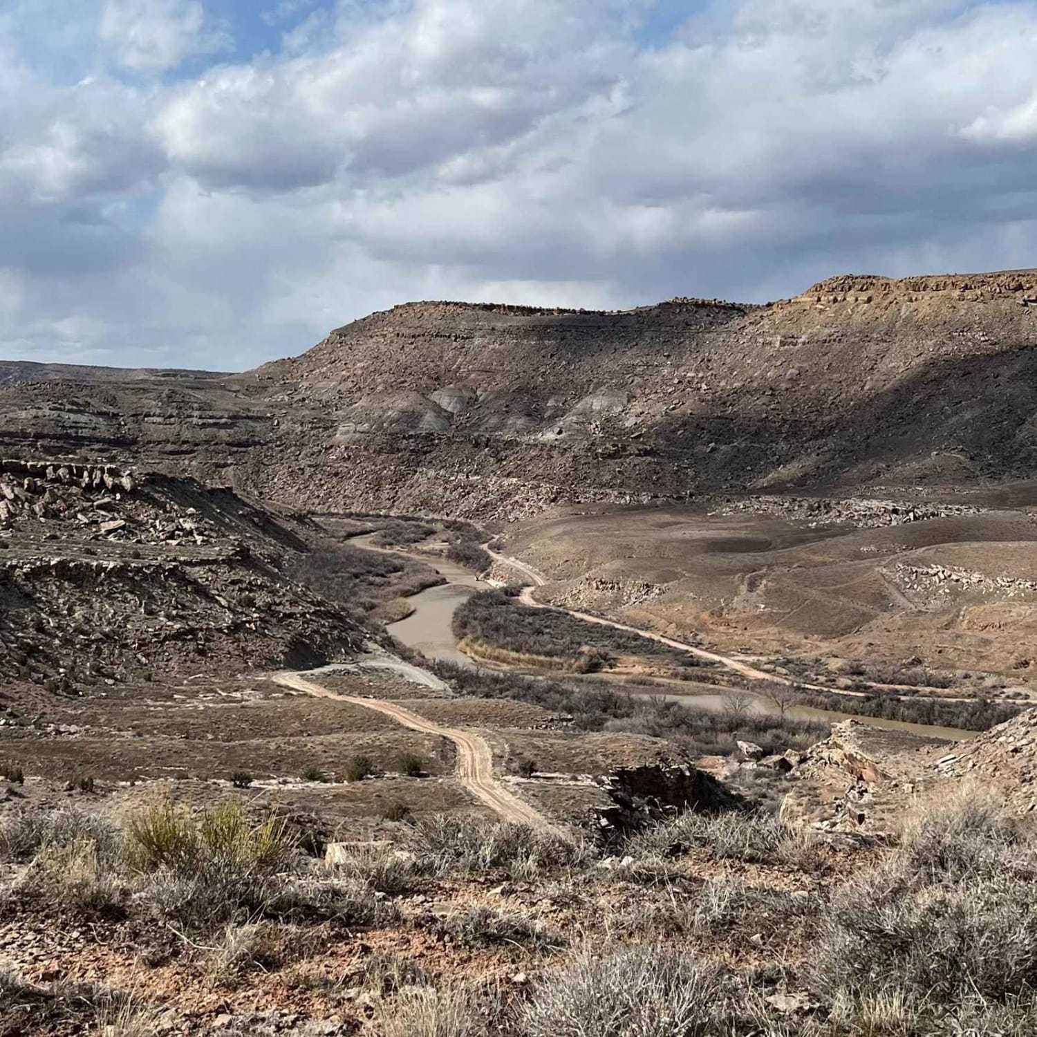
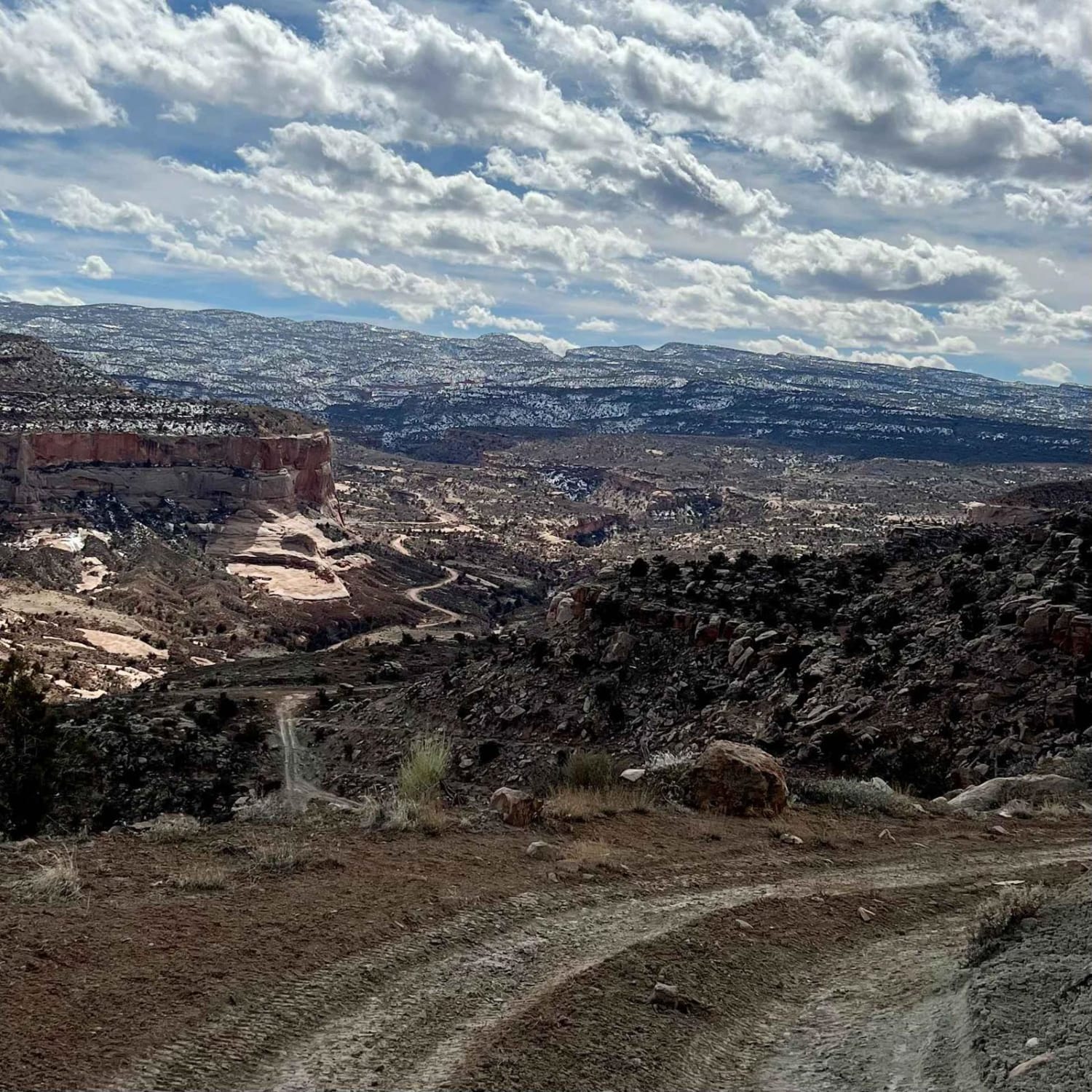
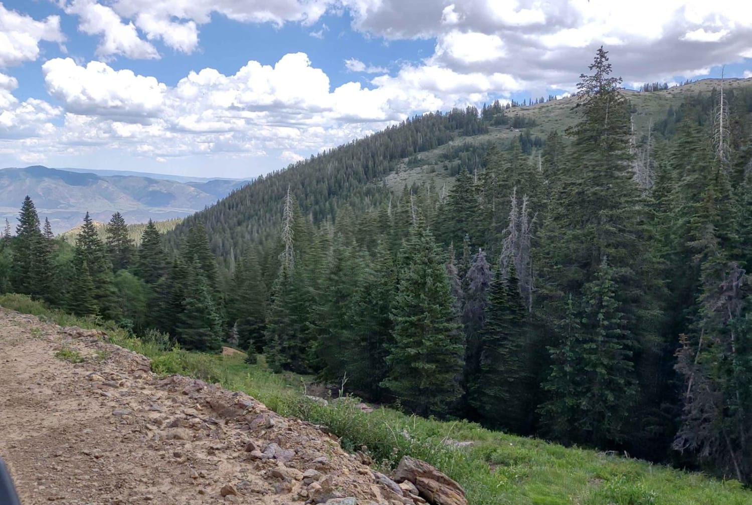
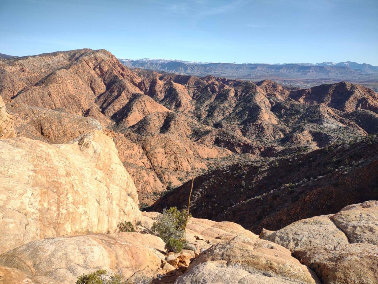
Pinto Mesa
Total Miles
9.8
Technical Rating
Best Time
Summer, Spring
Trail Type
High-Clearance 4x4 Trail
Accessible By
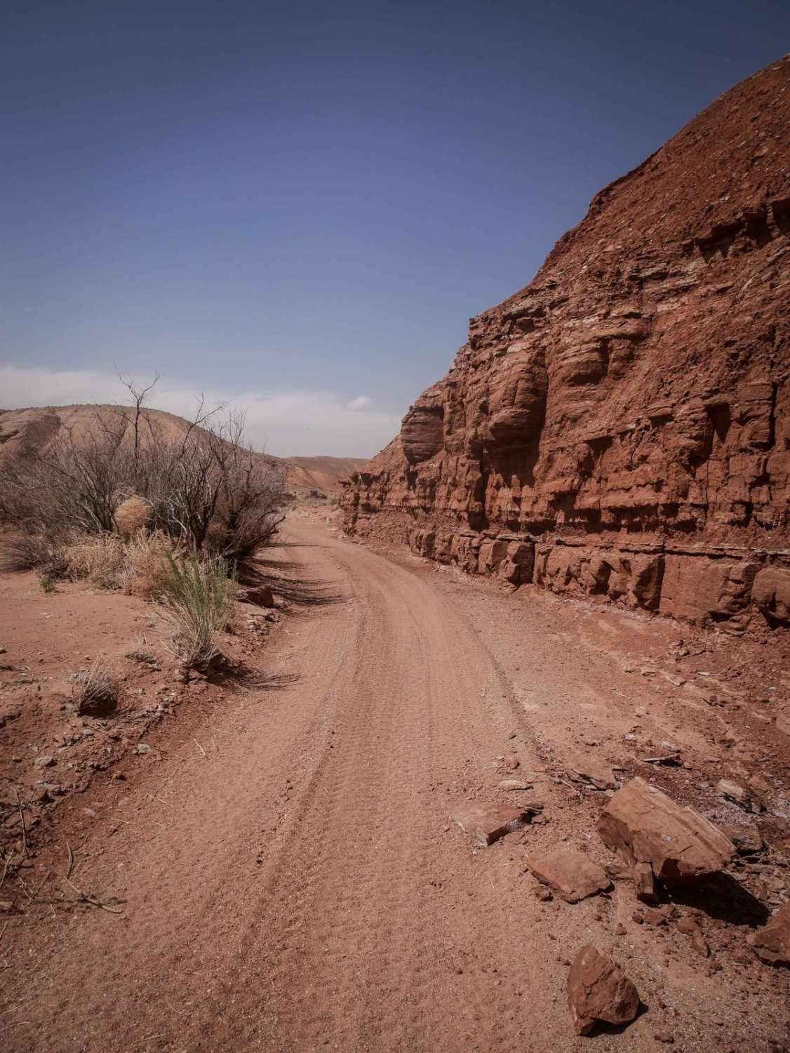
Trail Overview
Steep off-camber narrow trail. Stock Rubicon was hitting the back bumper a tad. Potential for deep ruts in the middle section after climbing the steep beginning. Do not attempt after rain/snow. Steep climbs and descends. No lockers are needed on dry days. Some fun obstacles to climb and a cave on the way if you keep your eyes peeled. No trash-bin or toilets, pack it in & pack it out. Better to run with a friend. If you run this alone ensure you have all your recovery gear as it could take a while to walk to signal or a help.
Photos of Pinto Mesa
Difficulty
This trail has rough unmaintained steep terrain with several obstacles best suited for lifted vehicles or stock high-clearance vehicles.
Status Reports
Pinto Mesa can be accessed by the following ride types:
- High-Clearance 4x4
- SxS (60")
- ATV (50")
- Dirt Bike
Pinto Mesa Map
Popular Trails

Hog Canyon 6 - Savage Point (BLM HC6/6A)
Revenue Gulch - Bullion/Wedge Road
Leeds-Cottonwood Spur
Oil Well Wash
The onX Offroad Difference
onX Offroad combines trail photos, descriptions, difficulty ratings, width restrictions, seasonality, and more in a user-friendly interface. Available on all devices, with offline access and full compatibility with CarPlay and Android Auto. Discover what you’re missing today!