Glenwood Access to Fishlake Natl Forest - FS 40068
Total Miles
14.0
Technical Rating
Best Time
Summer, Spring, Fall
Trail Type
Full-Width Road
Accessible By
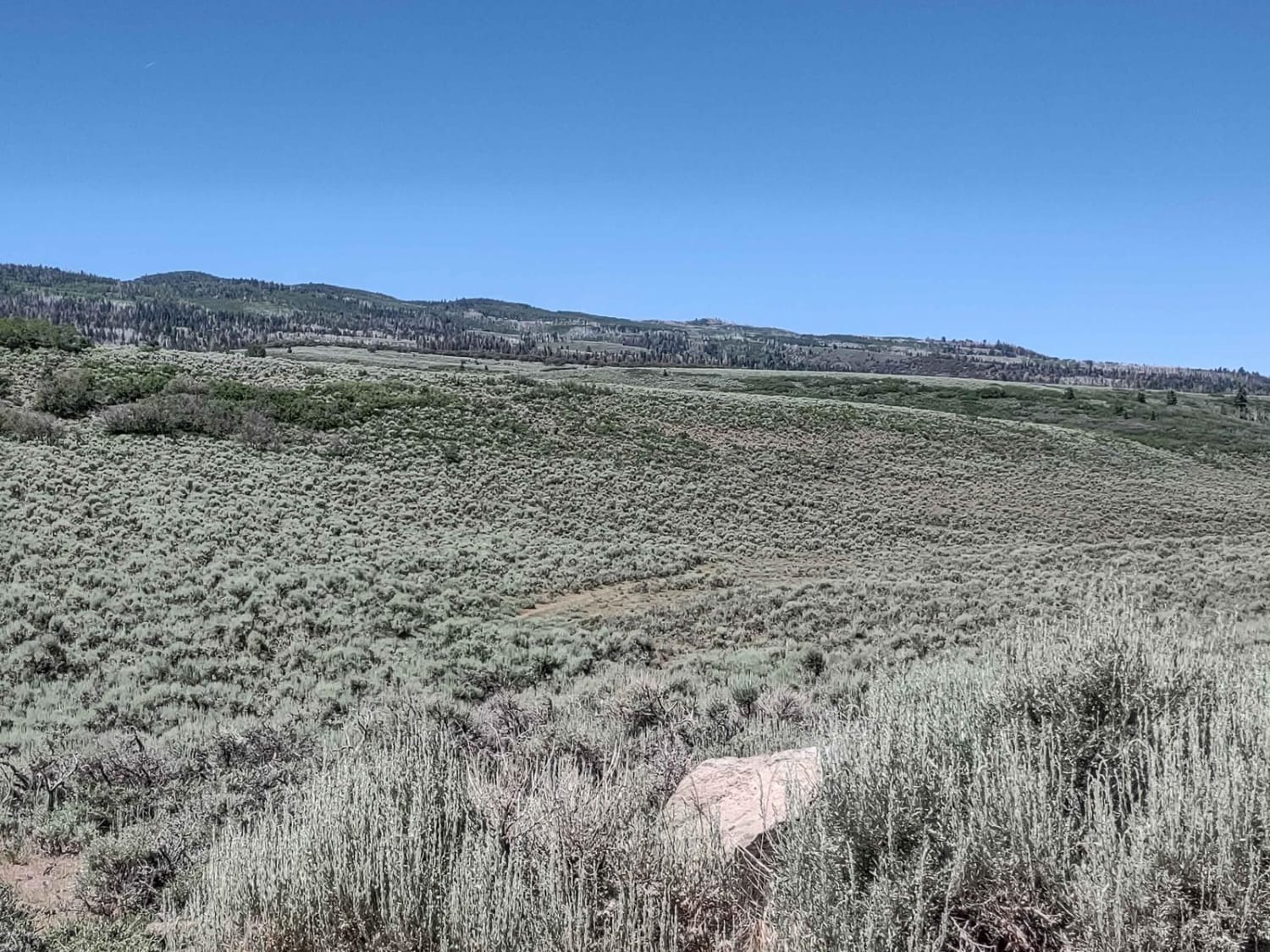
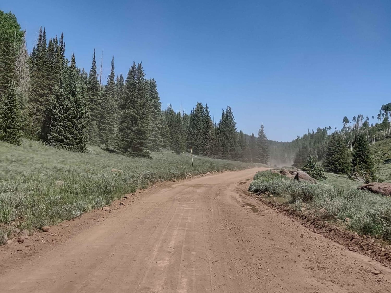
Trail Overview
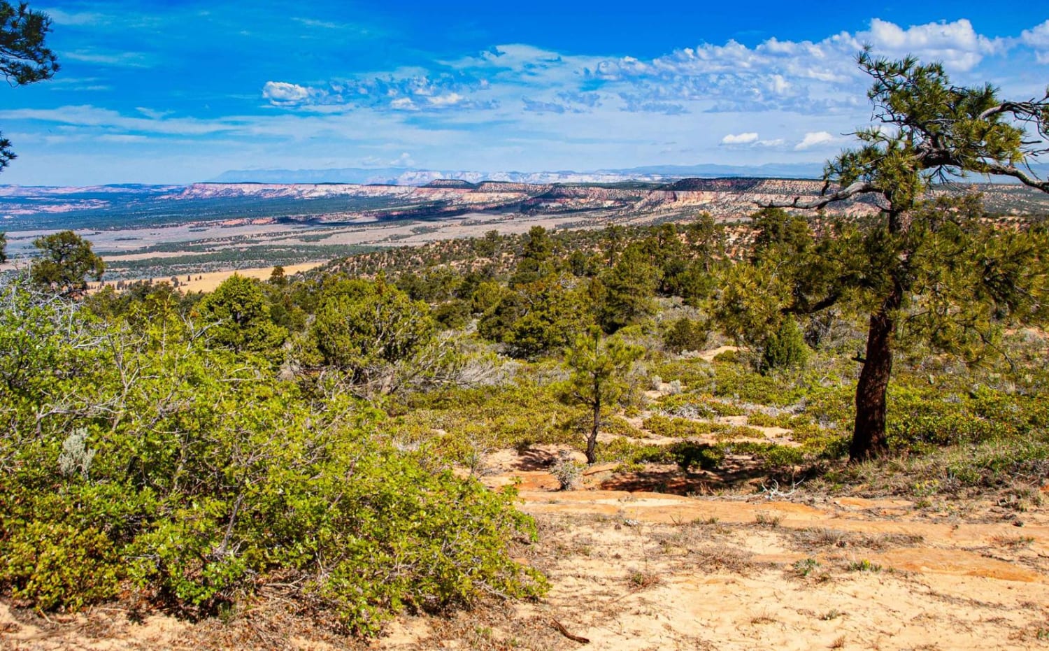
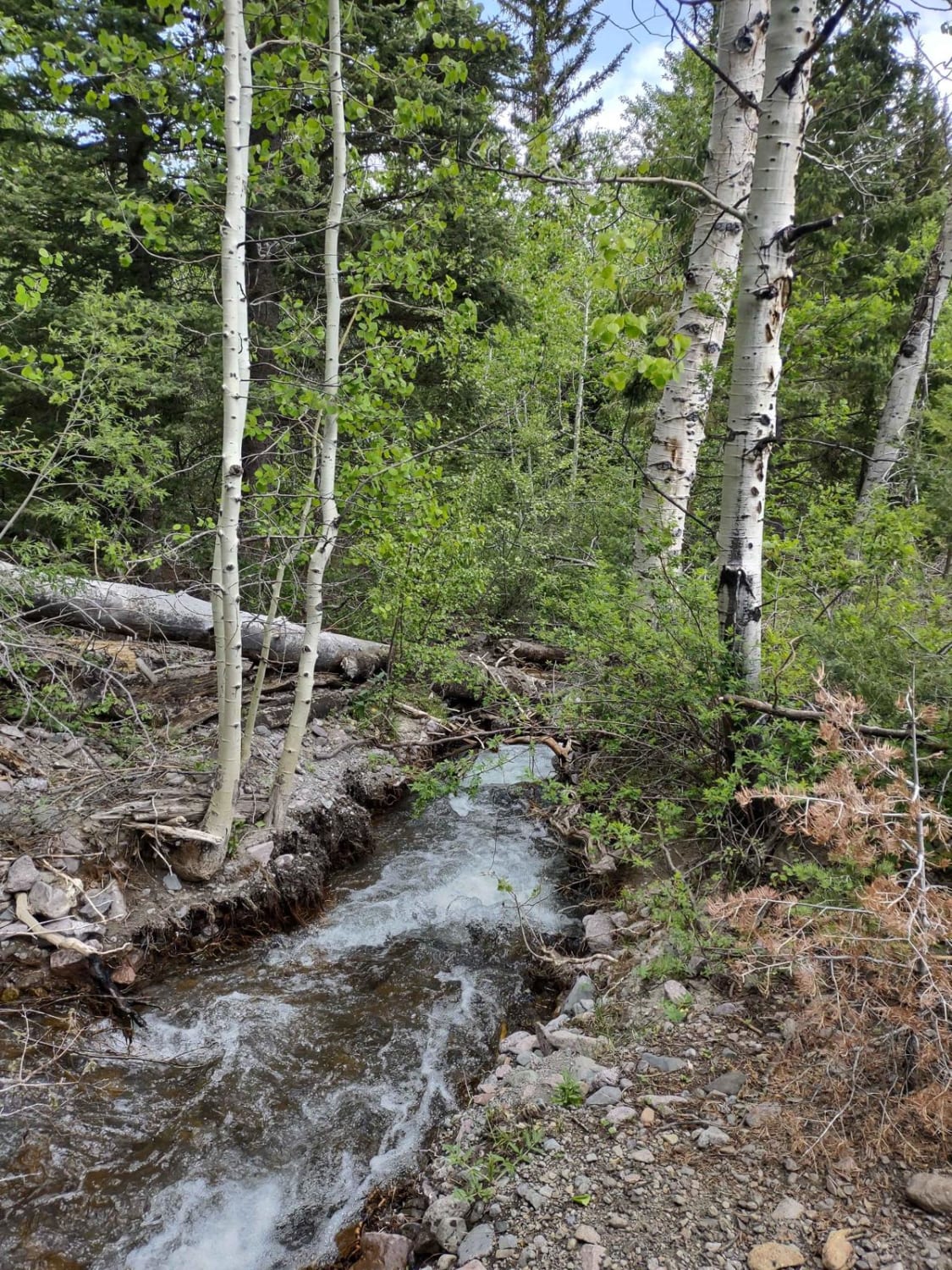
Fishlake Natl Forest access from Glenwood, Utah, is a good road in the summertime. It's dusty, and there is some traffic, but otherwise it's easy. We don't know when in the fall this road is closed, but we're certain it's not open year-round. There are indications along the road it's used as a snowmobile trail in the winter. You leave Glenwood on Sauls Meadow Road, going south. Then you turn left on Monroe Mountain Road, go by Squeedunk Canyon, go around Bell Rock Ridge, and turn right on Cove Mountain Road. It's just 14 miles, but you gain nearly 4000 feet in elevation. Once you get to Cove Mountain Road you can explore the area around Big Lake or Annabella Reservoir, or you can go up to the Koosharem Ranger Station, Monroe Peak, Manning Reservoir, Upper and Lower Box Creek Reservoirs, and the many trails in the Paiute Trail System. One possible hazard on this road is the graders. They maintain the road, so watch for them. Remember, to off-road in Utah, you need to get the online education course certificate and an OHV sticker.
Photos of Glenwood Access to Fishlake Natl Forest - FS 40068
Difficulty
Traffic and road graders are the possible obstacles on this trail.
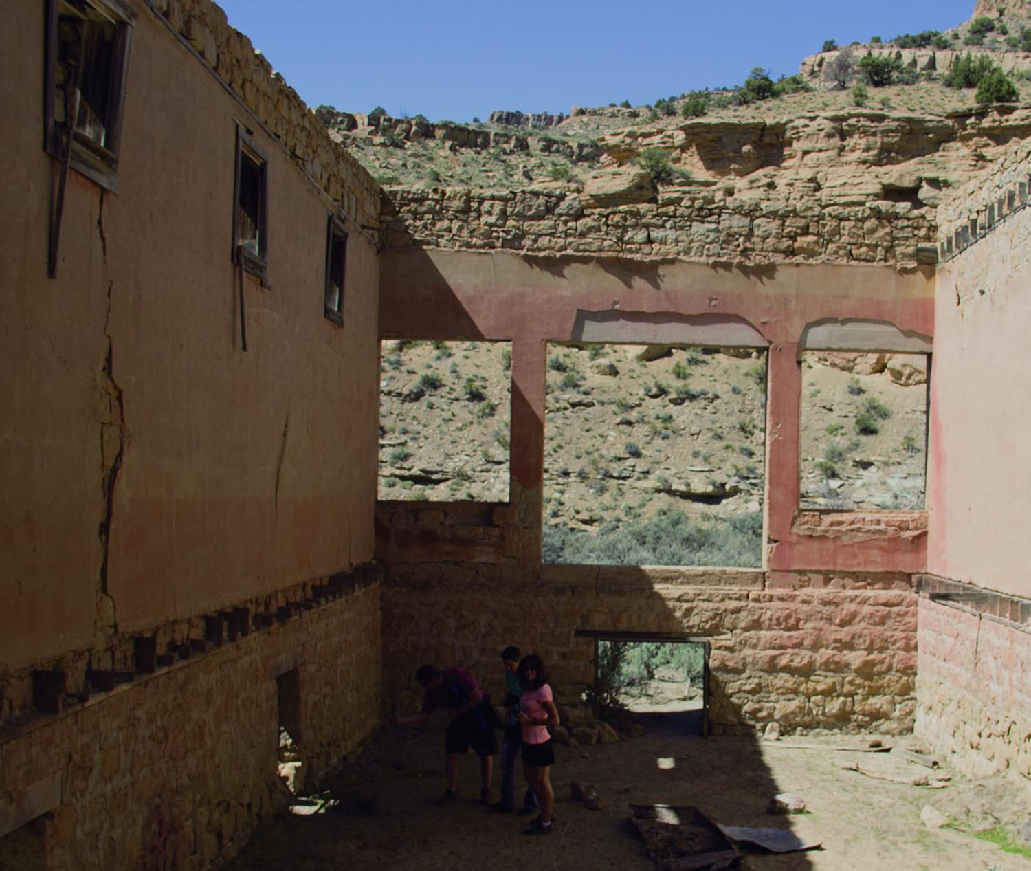
History
This area of southern Utah has a rich mining history. All over these mountains you can find old mine sites. Unfortunately, most don't have any posted information about the mine/miners/mined materials. Since the late 1800s, early 1900s ranchers, dairy farmers and sawmill operators have also used Sevier Plateau area for their businesses.
Glenwood Access to Fishlake Natl Forest - FS 40068 can be accessed by the following ride types:
- High-Clearance 4x4
- SUV
- SxS (60")
- ATV (50")
- Dirt Bike
Glenwood Access to Fishlake Natl Forest - FS 40068 Map
Popular Trails
Water Canyon-Hell Dive Canyon Road (BLM052)
Book Cliffs, Sego Canyon

Tenmile Creek Trail
The onX Offroad Difference
onX Offroad combines trail photos, descriptions, difficulty ratings, width restrictions, seasonality, and more in a user-friendly interface. Available on all devices, with offline access and full compatibility with CarPlay and Android Auto. Discover what you’re missing today!