Pinyon Creek
Total Miles
1.6
Technical Rating
Best Time
Summer, Fall
Trail Type
Full-Width Road
Accessible By
Trail Overview
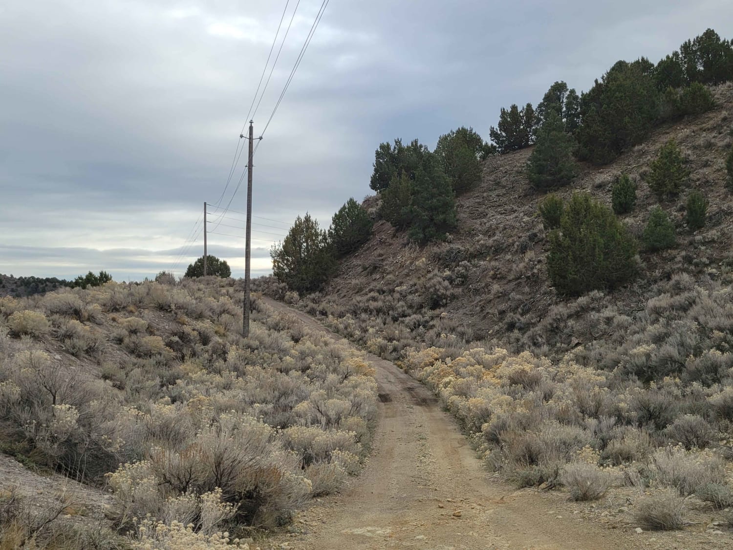
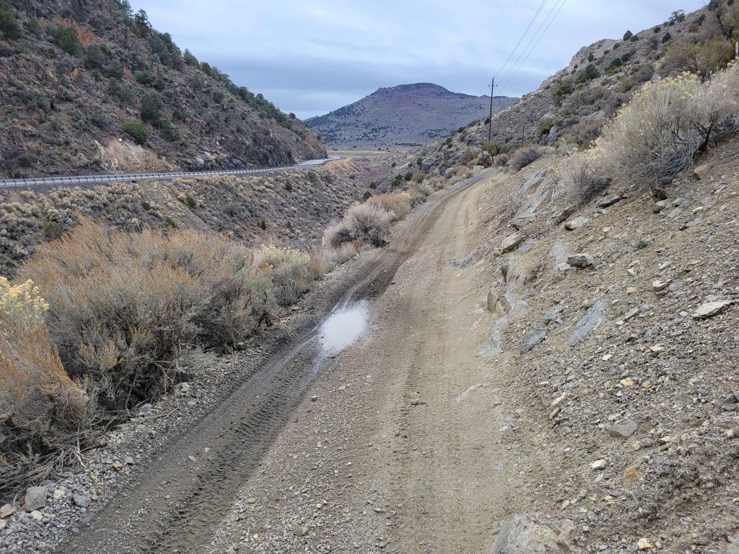
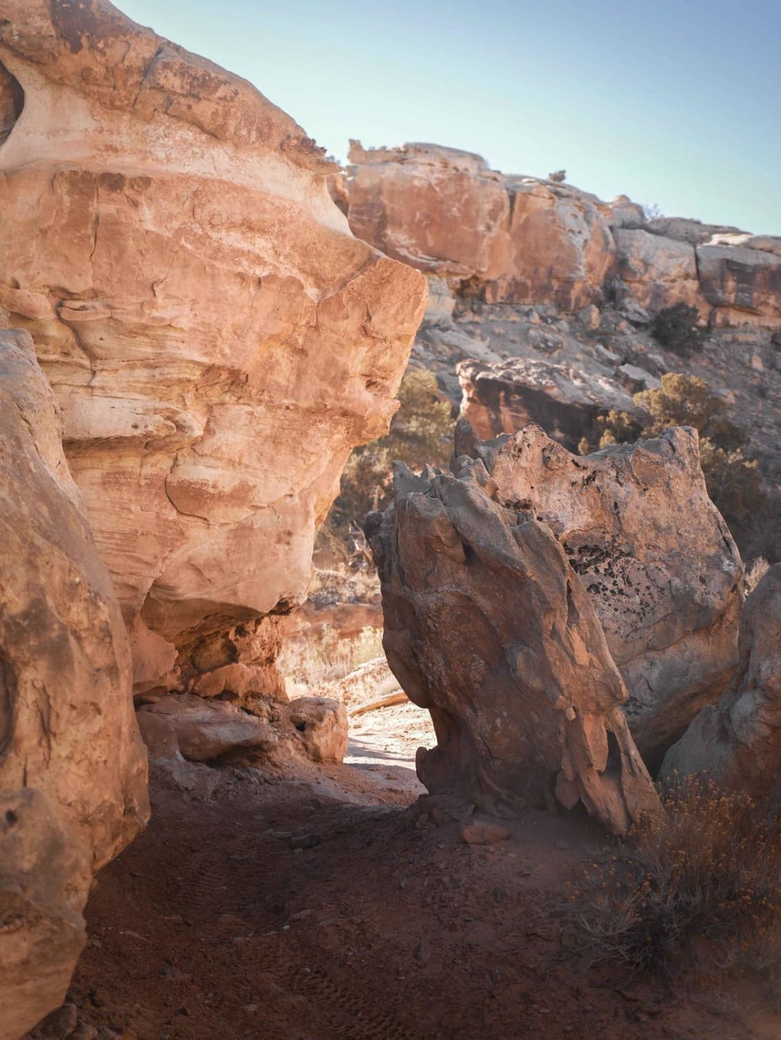
This trail may be short in length, but it is certainly not short on some notably interesting sections. This trail is very narrow. It was mapped in a Tacoma, but vegetation definitely brushed the sides of the truck. If you're concerned about pinstriping, avoid this trail. In the middle section, between the two rock canyons, the trail is tilted and off-camber with a steep drop-off just inches away; it'll get your attention. Where the trail U-turns, there's a small steep hill. Advisable to avoid in wet conditions. Just take it slow with this route.
Photos of Pinyon Creek
Difficulty
This trail may be short in length but it is certainly not short on some notably interesting sections. This trail is very narrow. It was mapped in a Tacoma but vegetation definitely brushed the sides of the truck. If you're concerned about pinstriping, avoid this trail. In the middle section, between the two rock canyons, the trail is tilted and off-camber with a steep drop-off just inches away. It'll get your attention. Where the trail U-turns there's a small steep hill. Advisable to avoid in wet conditions. Just take it slow with this route.
Status Reports
Pinyon Creek can be accessed by the following ride types:
- High-Clearance 4x4
- SUV
- SxS (60")
- ATV (50")
- Dirt Bike
Pinyon Creek Map
Popular Trails

Red Canyon/Back Way to Motoqua Birthing Cave
Salt Wash Single Track

Sixth Water Divide #014

South Duma Trail
The onX Offroad Difference
onX Offroad combines trail photos, descriptions, difficulty ratings, width restrictions, seasonality, and more in a user-friendly interface. Available on all devices, with offline access and full compatibility with CarPlay and Android Auto. Discover what you’re missing today!