Salt Wash Single Track
Total Miles
4.1
Technical Rating
Best Time
Winter, Spring, Fall
Trail Type
Single Track
Accessible By
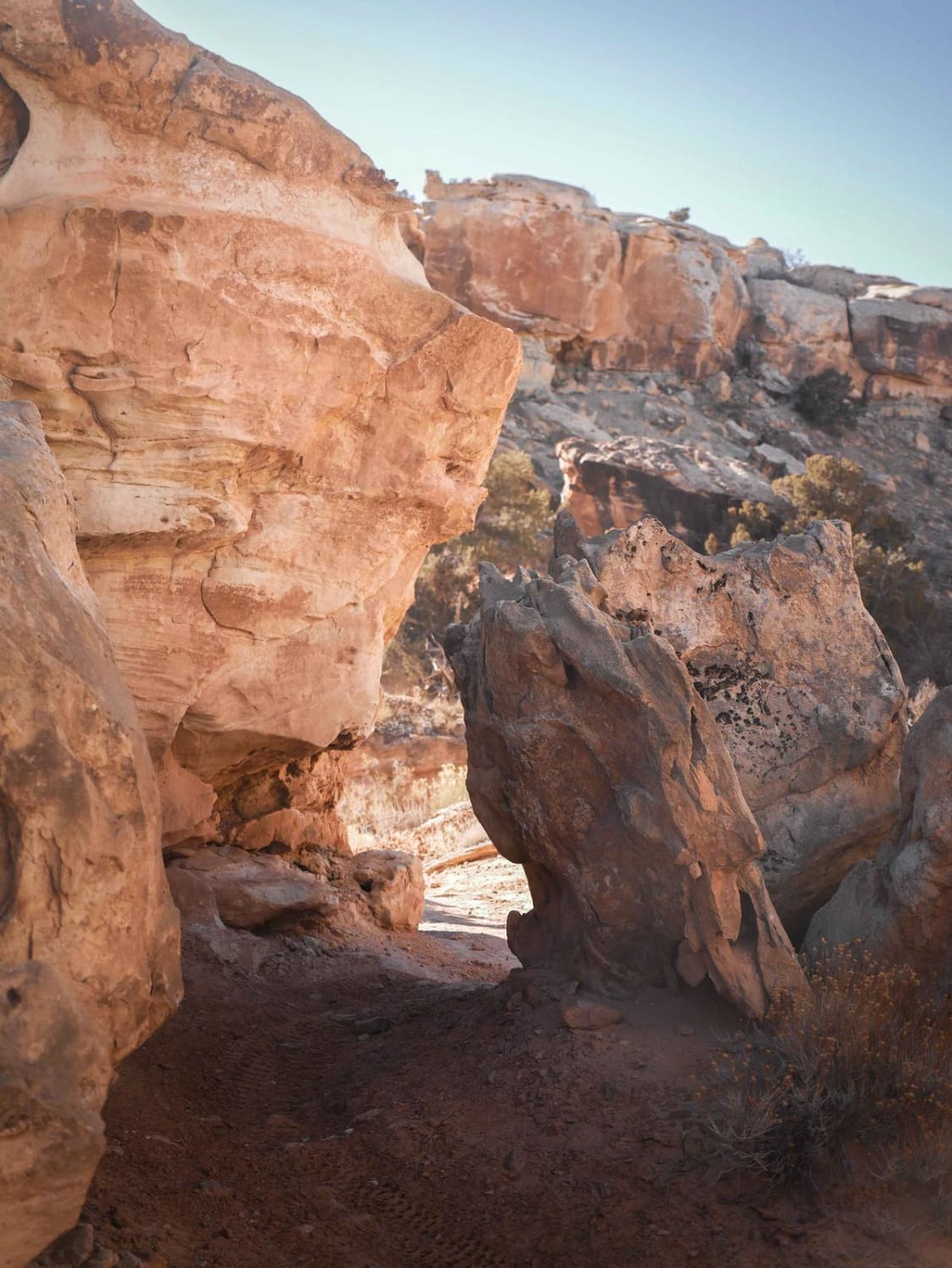
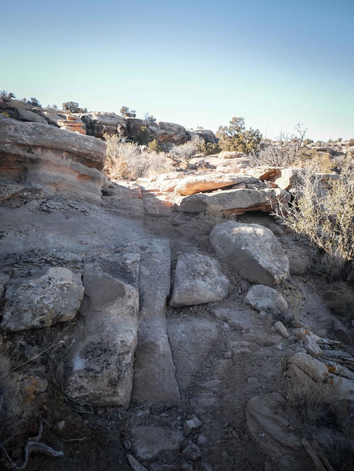
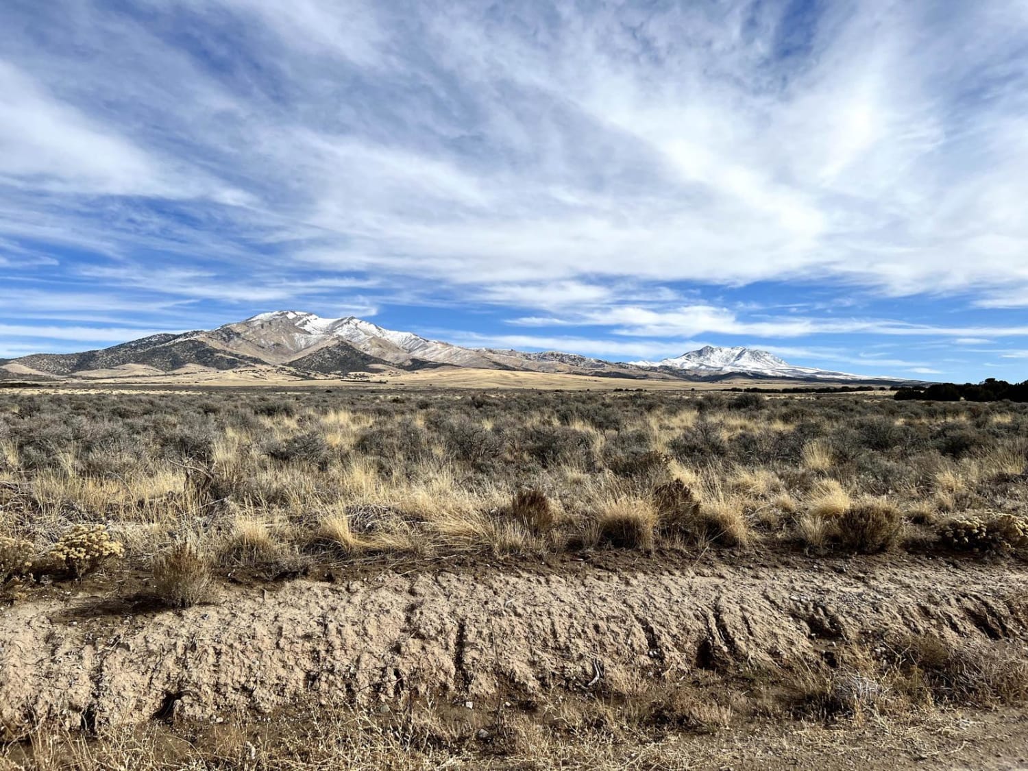
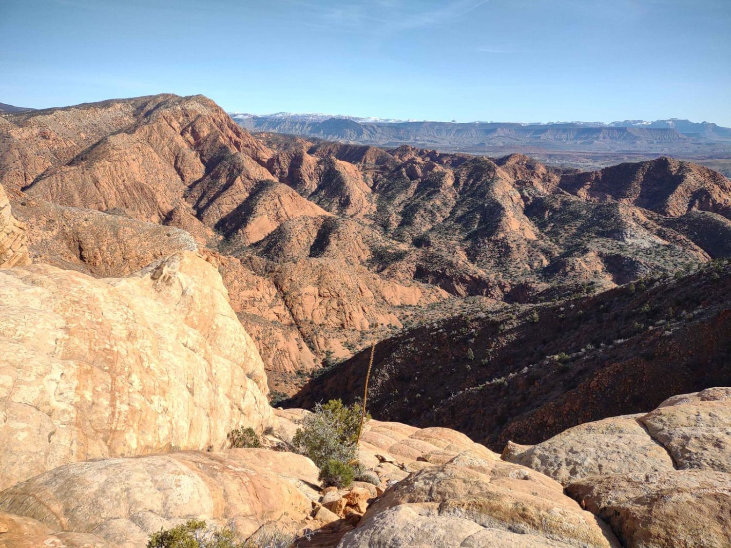
Trail Overview
The Salt Wash Single Track is a 4.2-mile advanced difficulty single track in the Sovereign Trail system. The northernmost 0.2 miles north of the intersection with Sovereign is an extremely difficult section that is marked as directional, from south to north. Hill climbing north to south is not allowed to prevent erosion. This directional section drops down a series of rock ledges and tight switchbacks through a rock pinch that is pretty steep and technical. The other 4 miles of trail are also quite difficult. From the northern intersection with Sovereign, the trail goes south with lots of difficult features such as rock ledges, loose climbs up the mesas, up and over embedded slickrock faces, tight turns, and exposure around the rims of the mesas. There are often paint markings on the slickrock to follow. The trail crosses the intersection with Link 5, which is an easy connector that will take you to the south end of Sovereign. After Link 5, there are several harder sections full of rock ledges and tight hairpin turns to drop off the mesa. It also crosses Link 4 which you can take west to east to access another segment of Sovereign and Lawson's Ledge. As you continue south after Link 4, several more advanced sections with rock pinches, rock ledges, and loose dirt are rated the most extreme in the trail system. There are often tricky obstacles to get on or off the top of each mesa at each climb/descent. Watch out for exposed cliff sections on the slickrock. Overall this is a really fun trail that goes through a diverse desert landscape with a variety of features and challenges and makes a great loop with Sovereign and Cedar Mountain.
Photos of Salt Wash Single Track
Difficulty
This is an advanced trail due to frequent advanced obstacles all throughout the trail including rock ledges, switchbacks, rock pinches, and cliff exposure.
Salt Wash Single Track can be accessed by the following ride types:
- Dirt Bike
Salt Wash Single Track Map
Popular Trails

Piute Pass Trail
Ericson Pass Road
Leeds-Cottonwood Spur
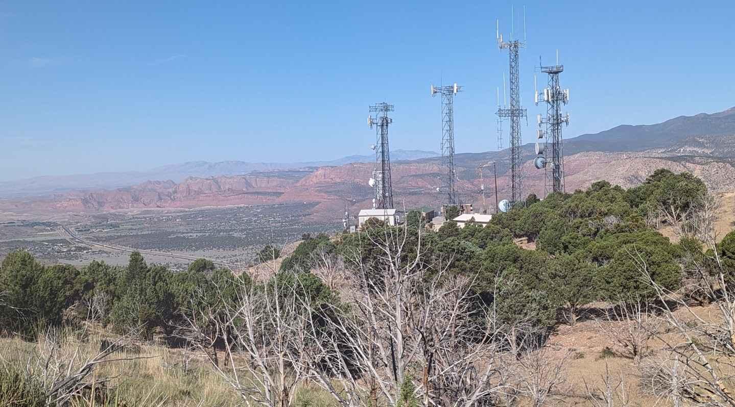
Toquerville Communication Towers Overlook
The onX Offroad Difference
onX Offroad combines trail photos, descriptions, difficulty ratings, width restrictions, seasonality, and more in a user-friendly interface. Available on all devices, with offline access and full compatibility with CarPlay and Android Auto. Discover what you’re missing today!