Off-Road Trails in Utah
Discover off-road trails in Utah
Learn more about Post Road via Toll Road
Post Road via Toll Road
Total Miles
6.3
Tech Rating
Moderate
Best Time
Fall, Summer, Spring
Learn more about Pot Hollow (2037)
Pot Hollow (2037)
Total Miles
1.4
Tech Rating
Easy
Best Time
Summer, Fall
Learn more about Potash Road, Shafer Switchbacks
Potash Road, Shafer Switchbacks
Total Miles
18.2
Tech Rating
Easy
Best Time
Spring, Summer, Fall
Learn more about Poverty Flat Road
Poverty Flat Road
Total Miles
4.3
Tech Rating
Easy
Best Time
Spring, Summer, Fall
Learn more about Poverty Flats Turn Track
Poverty Flats Turn Track
Total Miles
0.9
Tech Rating
Easy
Best Time
Spring, Summer, Fall, Winter
Learn more about Poverty Gulch Decent
Poverty Gulch Decent
Total Miles
5.4
Tech Rating
Easy
Best Time
Spring, Summer, Fall, Winter
Learn more about Poverty Gulch Jump Start
Poverty Gulch Jump Start
Total Miles
3.6
Tech Rating
Easy
Best Time
Spring, Summer, Fall, Winter
Learn more about Poverty Gulch Overlook
Poverty Gulch Overlook
Total Miles
5.7
Tech Rating
Easy
Best Time
Spring, Summer, Fall
Learn more about Poverty Gulch Slick Rock/Petroglyphs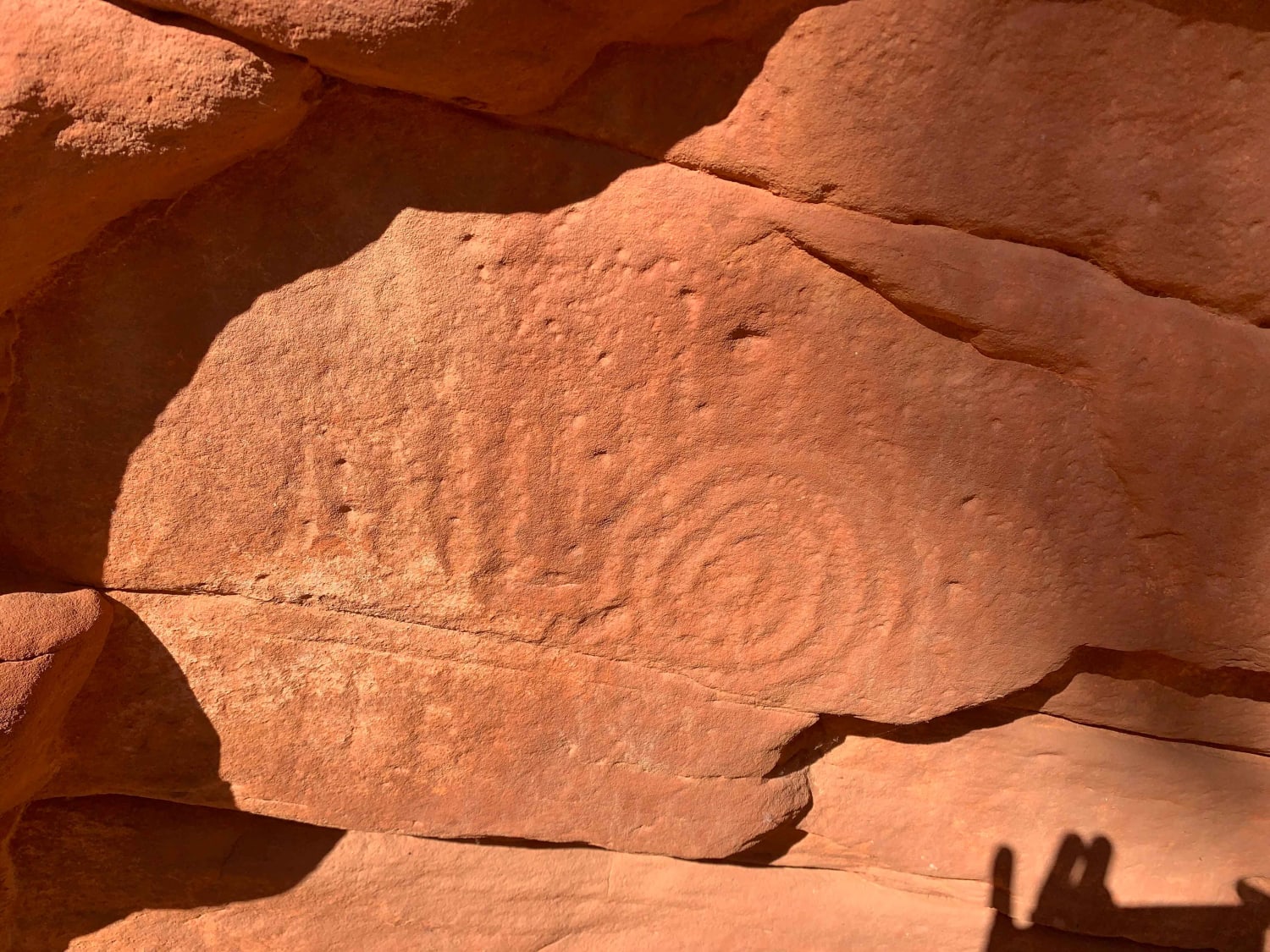
Poverty Gulch Slick Rock/Petroglyphs
Total Miles
1.8
Tech Rating
Easy
Best Time
Spring, Summer, Fall, Winter
Learn more about Poverty Gulch Technical with Overlooks
Poverty Gulch Technical with Overlooks
Total Miles
3.9
Tech Rating
Moderate
Best Time
Spring, Summer, Fall, Winter
Learn more about Powell Point Trail
Powell Point Trail
Total Miles
15.2
Tech Rating
Easy
Best Time
Spring, Summer, Fall
Learn more about Power Pole Rim
Power Pole Rim
Total Miles
5.1
Tech Rating
Easy
Best Time
Spring, Summer, Fall, Winter

Learn more about Powerline Trail
Powerline Trail
Total Miles
4.7
Tech Rating
Easy
Best Time
Spring, Summer, Fall
Learn more about Price River/South Farnham Road
Price River/South Farnham Road
Total Miles
18.8
Tech Rating
Easy
Best Time
Spring, Summer, Fall, Winter
Learn more about Pritchett Canyon
Pritchett Canyon
Total Miles
9.0
Tech Rating
Extreme
Best Time
Spring, Summer, Fall
Learn more about Proctor Canyon - FS 30109
Proctor Canyon - FS 30109
Total Miles
9.8
Tech Rating
Easy
Best Time
Summer, Fall
Learn more about Professor Valley Rim
Professor Valley Rim
Total Miles
3.2
Tech Rating
Easy
Best Time
Spring, Summer, Fall, Winter
Learn more about Prospector OHV Backway Complex
Prospector OHV Backway Complex
Total Miles
5.2
Tech Rating
Moderate
Best Time
Spring, Summer, Fall
ATV trails in Utah

Learn more about 14 Mile Road
14 Mile Road
Total Miles
14.7
Tech Rating
Easy
Best Time
Spring, Summer, Fall, Winter


UTV/side-by-side trails in Utah
Learn more about 14 Mile Road
14 Mile Road
Total Miles
14.7
Tech Rating
Easy
Best Time
Spring, Summer, Fall, Winter
The onX Offroad Difference
onX Offroad combines trail photos, descriptions, difficulty ratings, width restrictions, seasonality, and more in a user-friendly interface. Available on all devices, with offline access and full compatibility with CarPlay and Android Auto. Discover what you’re missing today!