Power Pole Rim
Total Miles
5.1
Technical Rating
Best Time
Spring, Summer, Fall, Winter
Trail Type
Full-Width Road
Accessible By
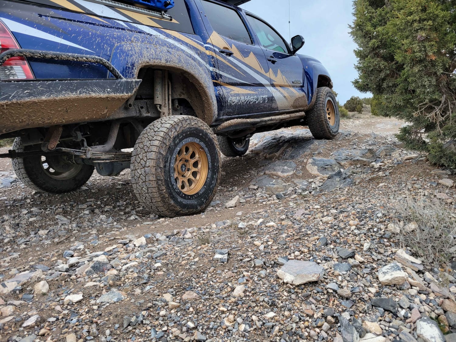
Trail Overview
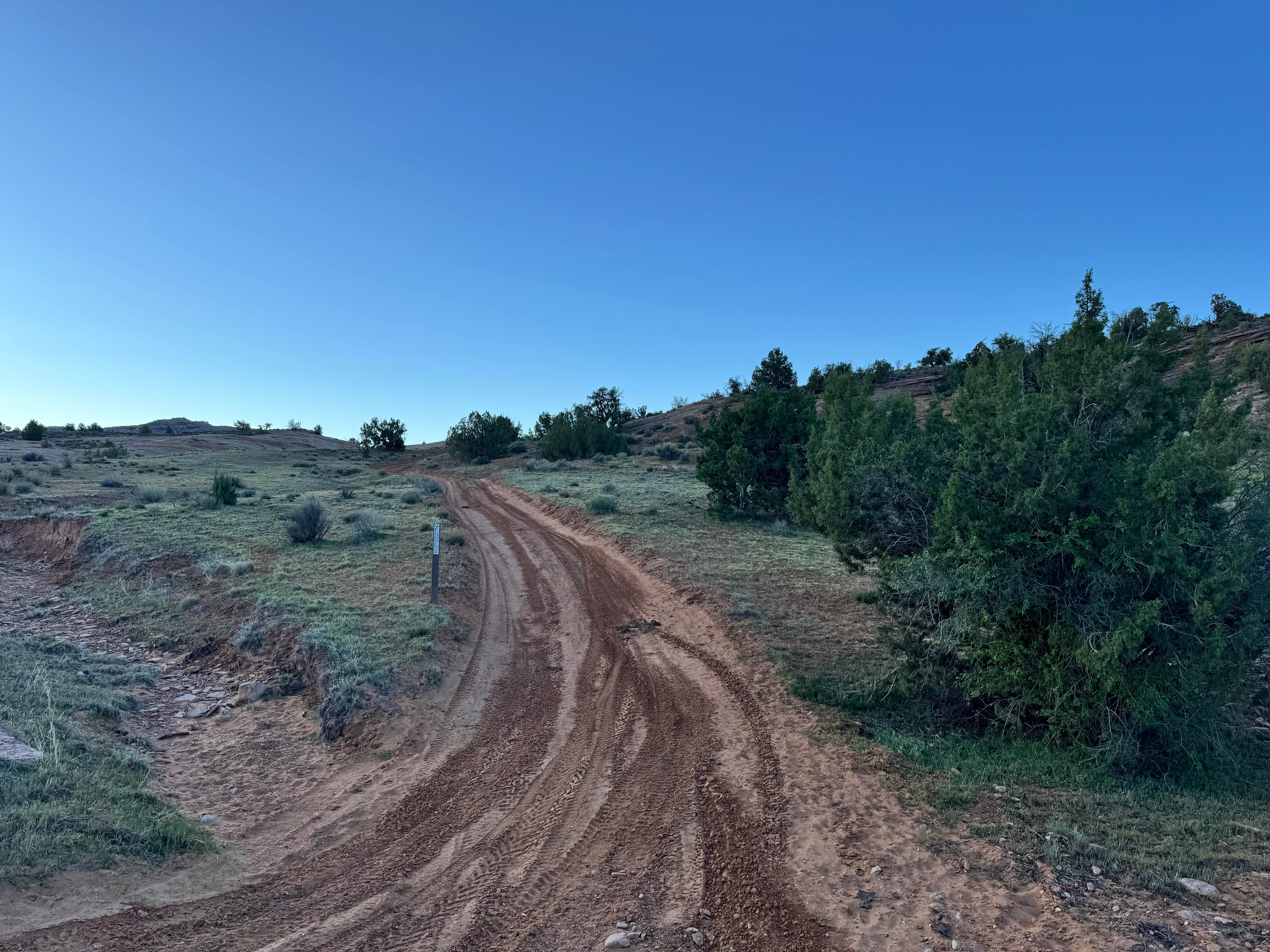
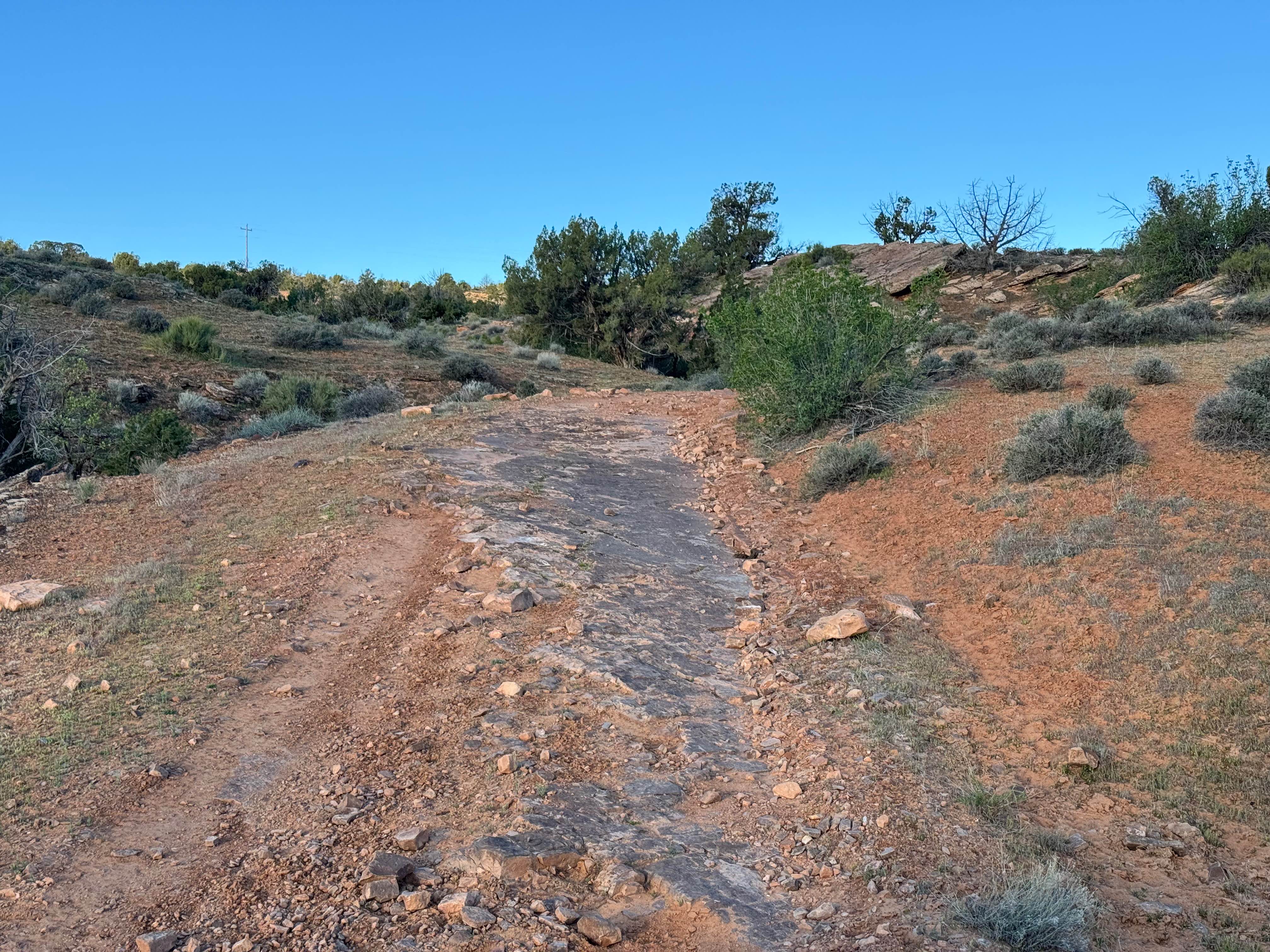
Non-Resident OHV permits apply to ATVs, UTVs, and dirt bikes. Plated street-legal vehicles typically do not need one on legal motorized routes. This trail follows the powerlines along the rim near Top of the World, offering a scenic route with a mix of terrain and wide open desert views. The surface changes often, keeping the drive interesting with sections of sand and dirt scattered with protruding rocks that create a consistently rough ride. Along the way, drivers will encounter smaller rock gardens and a few rock step obstacles, with ledges topping out around 12 inches tall. There is also a stretch of slickrock-style slab similar to the surrounding red rock terrain, providing solid traction and a unique driving experience. Vegetation ranges from cacti and low brush to Juniper trees, and some branches narrow the trail enough to cause possible pinstriping for wider vehicles.
Photos of Power Pole Rim
Difficulty
This trail is best suited for high clearance 4x4 vehicles due to the mix of uneven terrain, slickrock, and embedded rock obstacles shown in the photos. Drivers will encounter sections of dirt and sand, rocky ledges, broken slab surfaces, and loose rock that can create a rough, off-camber ride in spots. The rock shelves appear moderate in size, requiring tire placement and slower speeds, but they are not extreme for a properly equipped vehicle. Slickrock areas provide good traction in dry conditions, though caution should be used when wet.
History
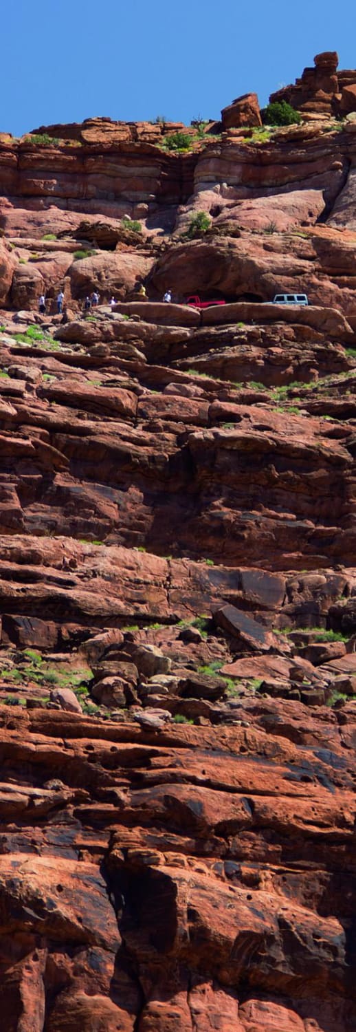
This route branches from the famous Top of the World trail, one of the most recognized off-road routes near Moab. The surrounding region has a long history tied to ranching, mining, and backcountry travel routes that connected remote parts of eastern Utah.
Status Reports
Power Pole Rim can be accessed by the following ride types:
- High-Clearance 4x4
- SUV
- SxS (60")
- ATV (50")
- Dirt Bike
Power Pole Rim Map
Popular Trails
Beaver Creek Ridge
Jackson Hole
The onX Offroad Difference
onX Offroad combines trail photos, descriptions, difficulty ratings, width restrictions, seasonality, and more in a user-friendly interface. Available on all devices, with offline access and full compatibility with CarPlay and Android Auto. Discover what you’re missing today!