2 trails found in Utah
Which "beaver creek ridge" are you looking for?
We found 2 off-road trails in Utah matching your search. Pick the one you're looking for below.
Learn more about Beaver Creek Ridge Trail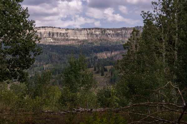
Beaver Creek Ridge Trail
The trail traverses from Beaver Creek Road to Anderson Canyon Trail. The trail is unmaintained and can be difficult to traverse in inclement weather.
Learn more about Beaver Creek Ridge Trail
Total Miles
3.4
Tech Rating
Moderate
Best Time
Fall, Summer, Spring
Learn more about Beaver Creek Ridge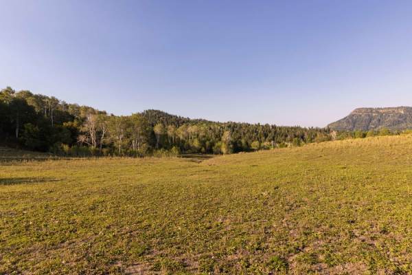
Beaver Creek Ridge
The area is made up of several smaller trails which traverse the scenic beauty of the Manti-LaSal National Forest. Beaver Creek Ridge trail; intertwines with the Beaver Creek Trail. Pine, Aspen and Cedar Tree's cover the area along with many wild flowers, brush and grasses.Wildlife can be viewed any...
Learn more about Beaver Creek Ridge
Total Miles
1.5
Tech Rating
Moderate
Best Time
Fall, Summer, Spring