Trail Overview
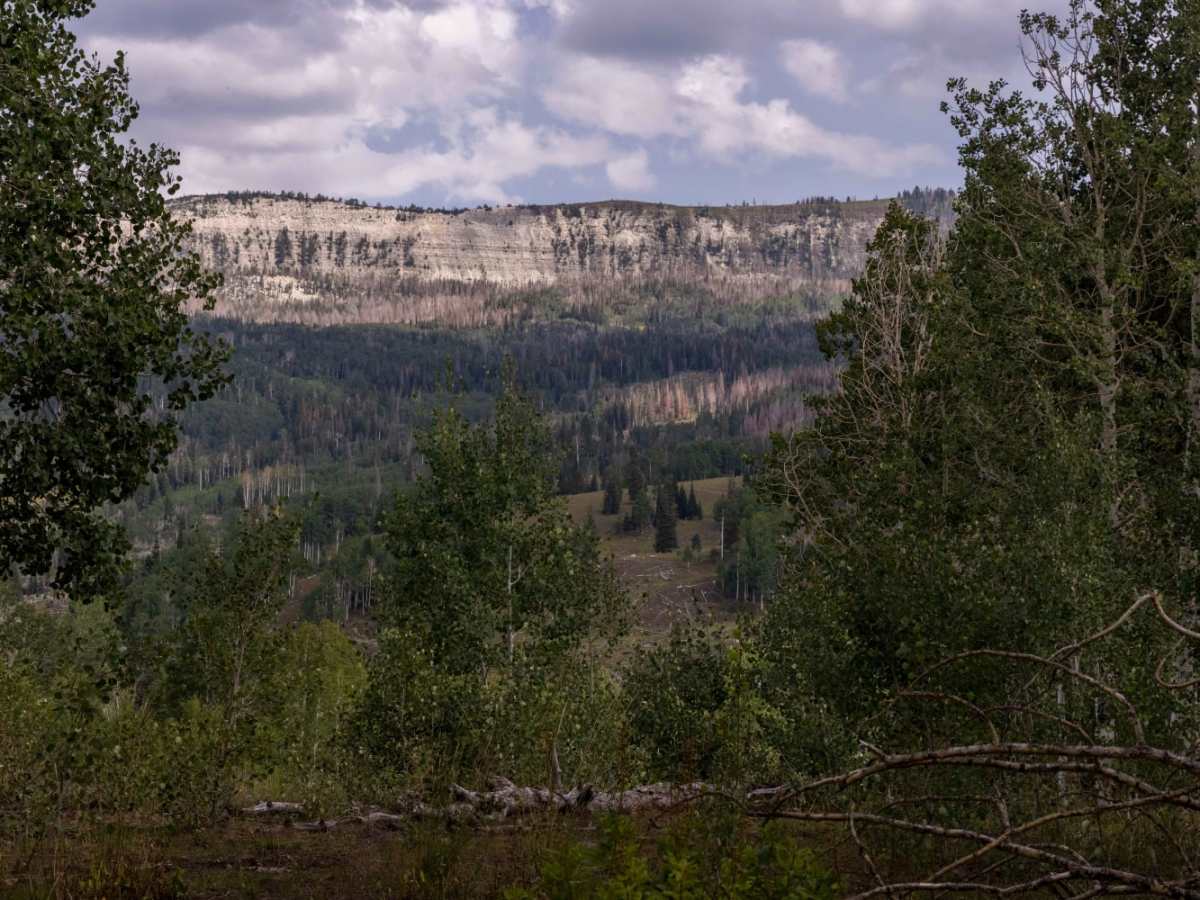
Beaver Creek Ridge Trail is a rugged, moderately challenging ridge route in the Manti-La Sal National Forest, perfect for high-clearance four-wheel-drive vehicles and SxSs seeking scenic, high-elevation terrain. This 3.4-mile unmaintained track climbs from Beaver Creek Road at 7,164 feet to an elevation of 8,892 feet near Porcupine Knoll, offering sweeping views of the surrounding canyon country. The trail is characterized by steep, short grades and a rocky surface that requires careful tire placement and consistent traction. Offroaders will encounter a net elevation gain of approximately 1,780 feet as they navigate this scenic corridor toward the Anderson Canyon Trail.
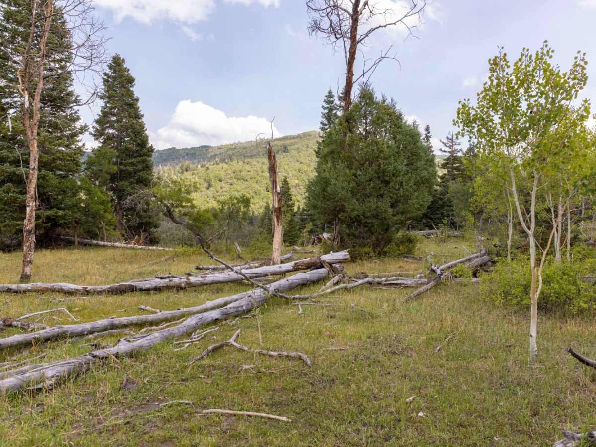
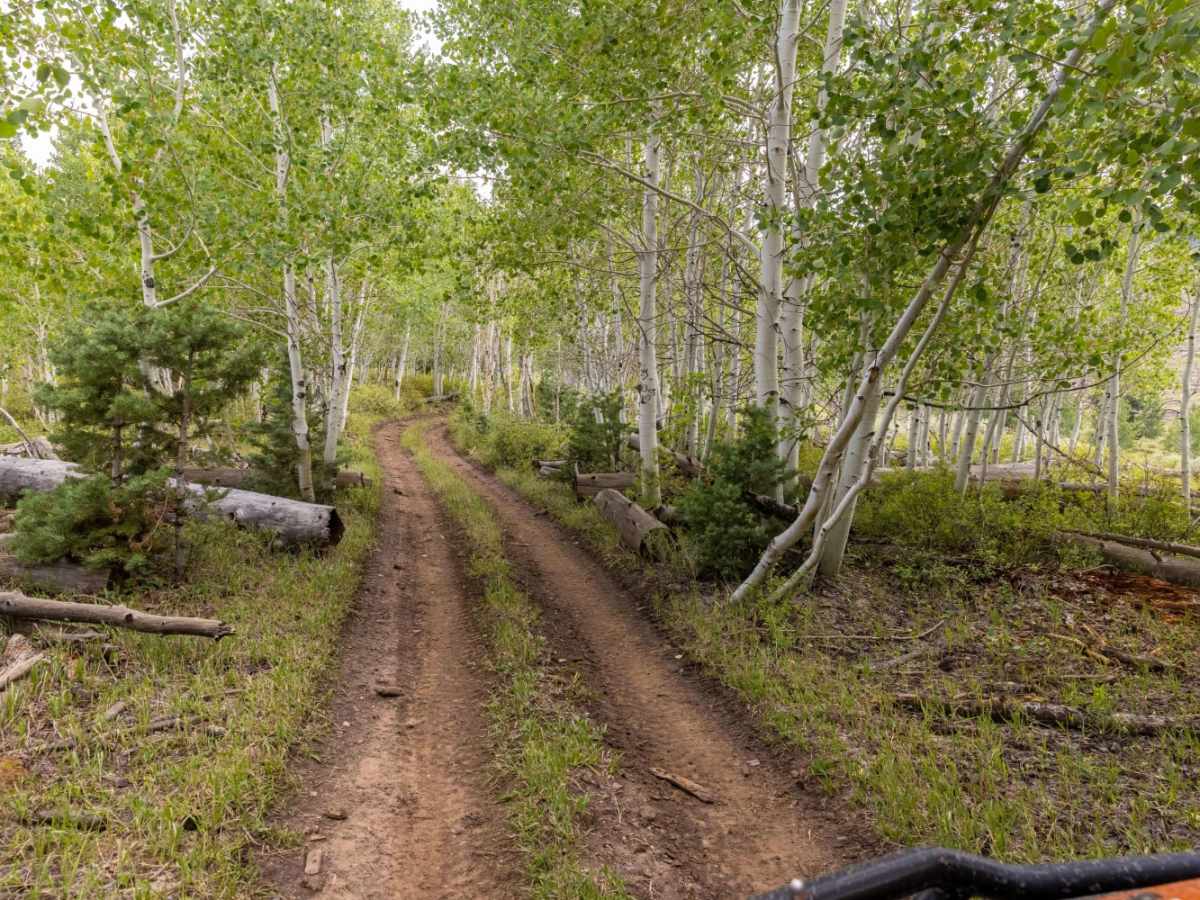
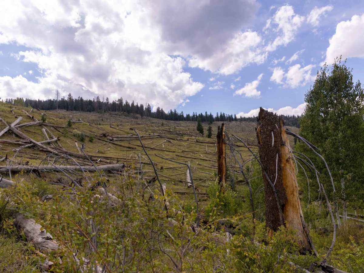
Boasting a technical rating of 4, the route presents a variety of natural obstacles including loose rock, deep ruts, off-camber sections, and washouts with obstacles measuring up to 12 inches in height. High-clearance four-wheel-drive vehicles, SxSs, and capable OHVs are highly recommended to safely negotiate the terrain, while stock vehicles may struggle with the clearance and traction demands. The primary surface consists of dirt and loose rock, which can quickly become exceptionally slick and impassable during inclement weather or early season snowmelt. Because the trail is unmaintained, travelers should be prepared for changing trail conditions and downed timber, especially during the spring and fall seasons when weather in the high country can change rapidly.
Difficulty
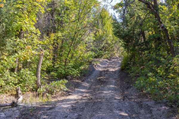
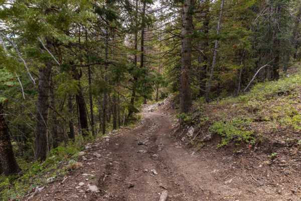
Very rocky, rutted and off-camber trail with erosion, loose rocks, and obstacles up to 12 inches tall, including small washes across the road, ruts and short, steep grades. Can be very slick and difficult in inclement weather.
Access Description
The trail is located within the Manti-La Sal National Forest, and no permits or fees are required to access or drive the route. All off-highway vehicles (OHVs) operated on public lands in Utah must be registered, and out-of-state visitors must obtain a Utah non-resident OHV permit. The trail is subject to seasonal closures due to winter snowpack, typically remaining impassable from late November through May.



 Offroad