Goldstrike
Total Miles
46.4
Technical Rating
Best Time
Summer, Fall
Trail Type
Full-Width Road
Accessible By
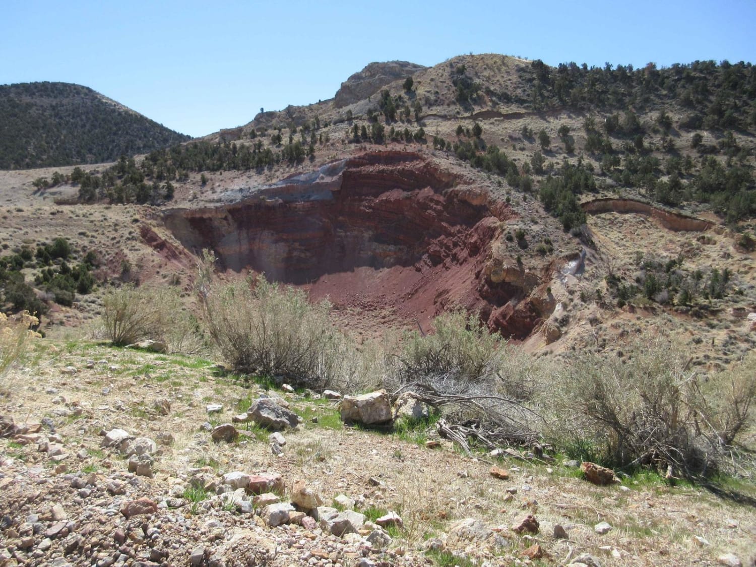
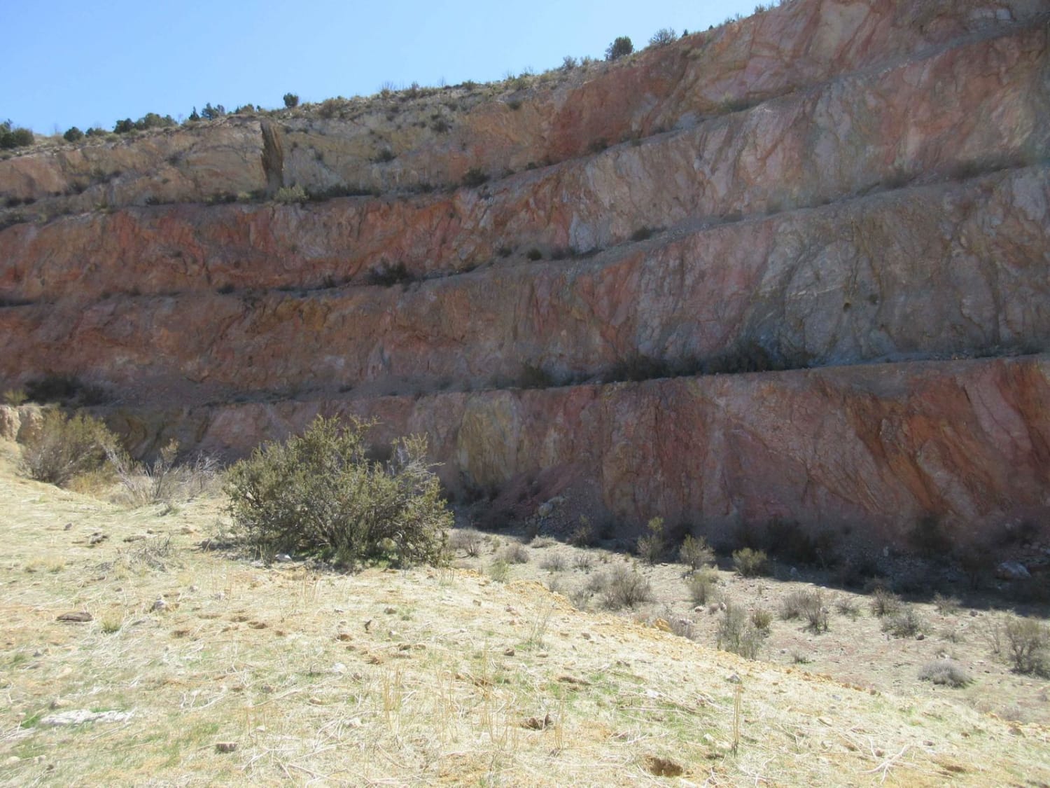
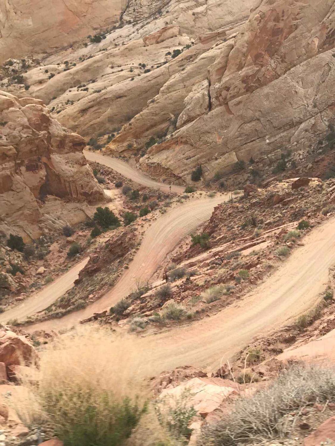
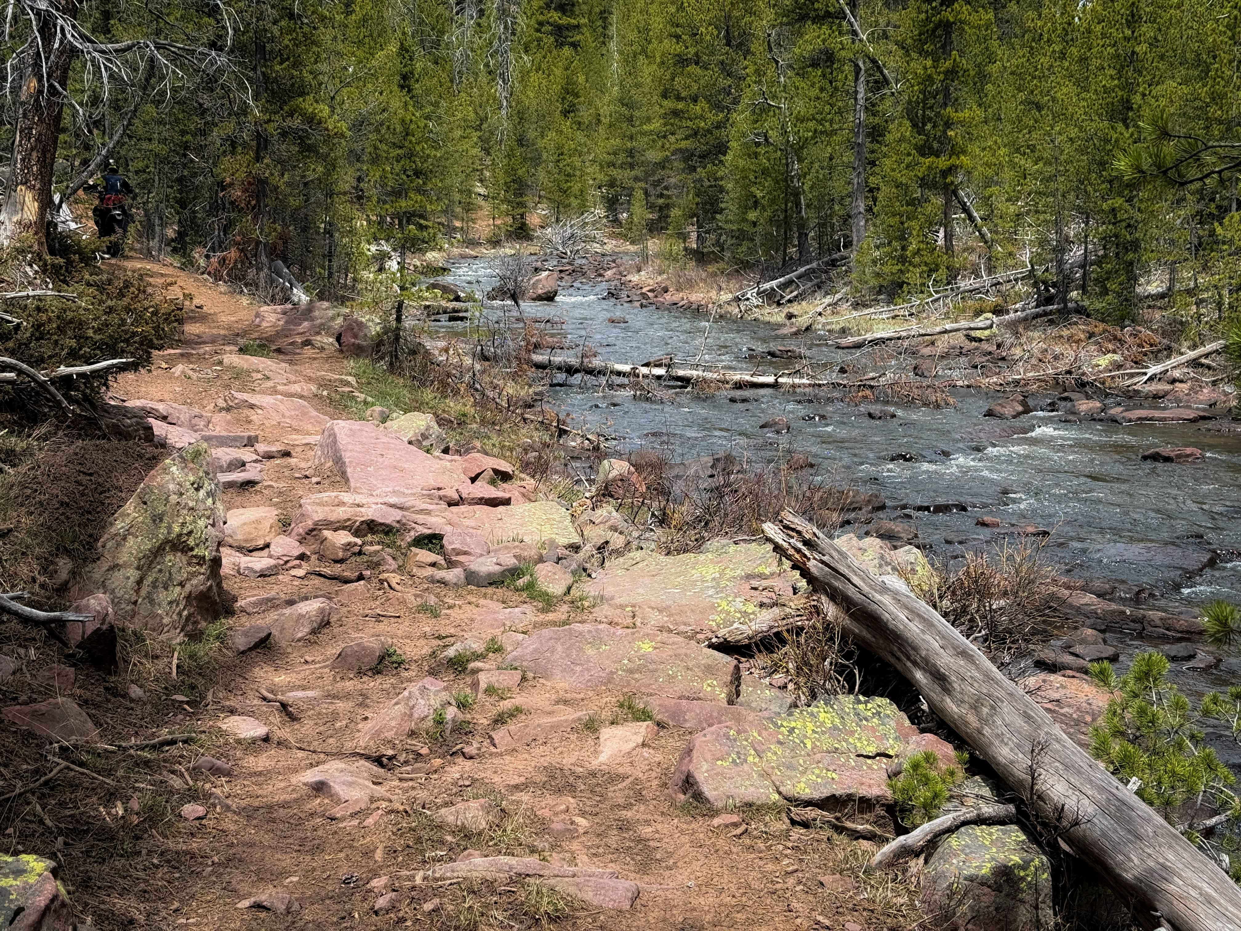
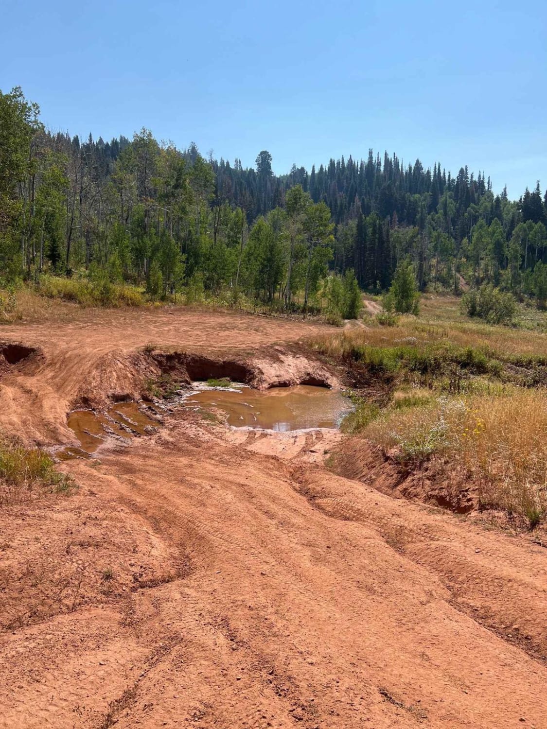
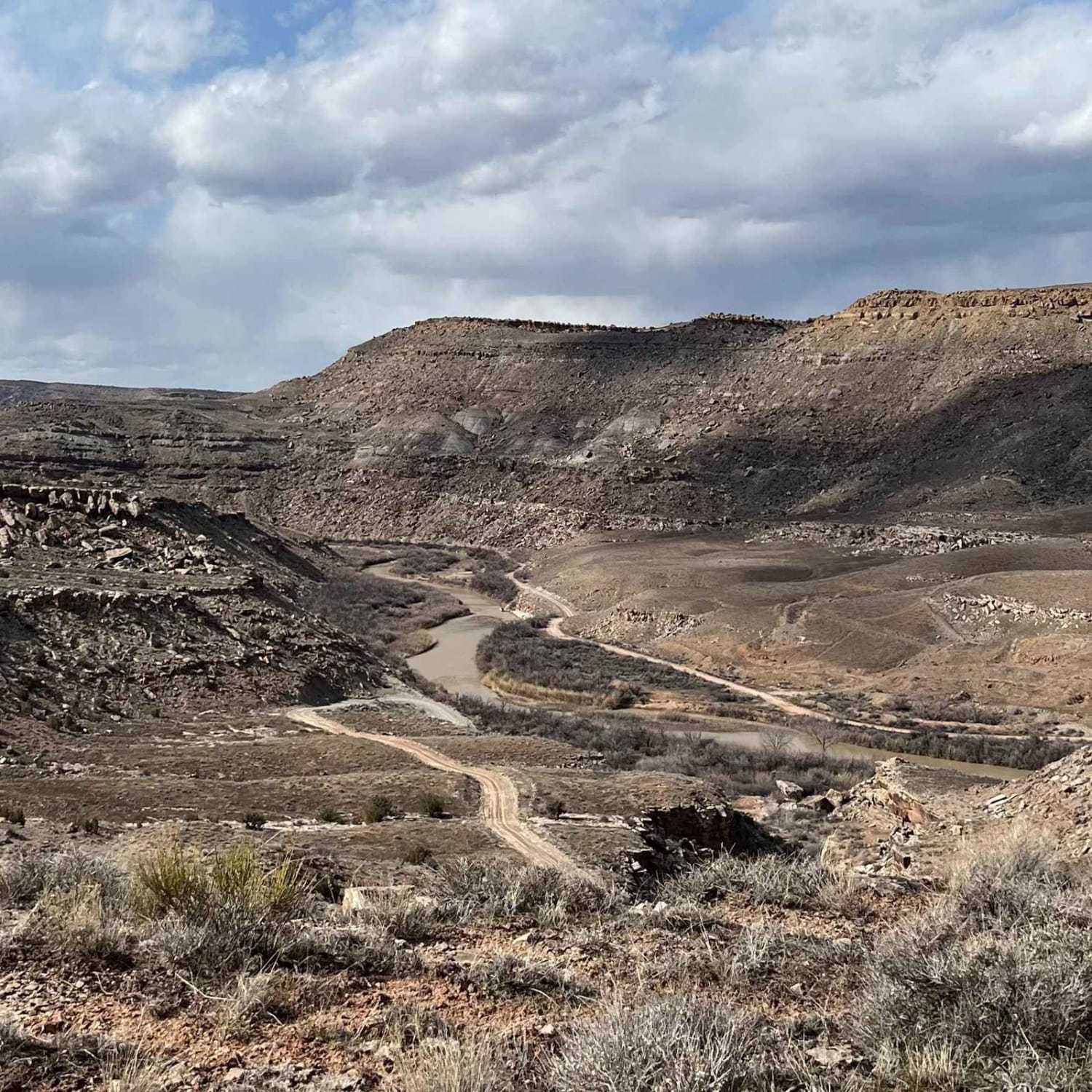
Trail Overview
This is a fun day trip that will take you above 6,000 feet in elevation with some superb panoramic views of the area. Along the way you will see Square Top Mountain where a B-52 crashed in 1983, a great probability for wildlife, the Veyo Cinder Cone, Pine mountains, and the Goldstrike mining area. The mine is now being explored for the potential to reopen it so the owners do not want visitors down in the mine at this time. It is clearly viewable from the road.
Photos of Goldstrike
Difficulty
This route is impassable in the winter months with deep snow and areas of mud on steep grades. During the remainder of the year it is a relatively easy trail with areas of rock and narrow trails that can provide a slight challenge.
Status Reports
Goldstrike can be accessed by the following ride types:
- High-Clearance 4x4
- SUV
- SxS (60")
- ATV (50")
- Dirt Bike
Goldstrike Map
Popular Trails
Burr Trail Switchbacks
North Fork Ashley #110
The onX Offroad Difference
onX Offroad combines trail photos, descriptions, difficulty ratings, width restrictions, seasonality, and more in a user-friendly interface. Available on all devices, with offline access and full compatibility with CarPlay and Android Auto. Discover what you’re missing today!