Arthur's Fork
Total Miles
0.9
Technical Rating
Best Time
Summer, Fall
Trail Type
High-Clearance 4x4 Trail
Accessible By
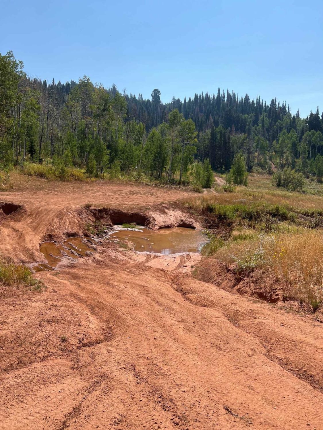
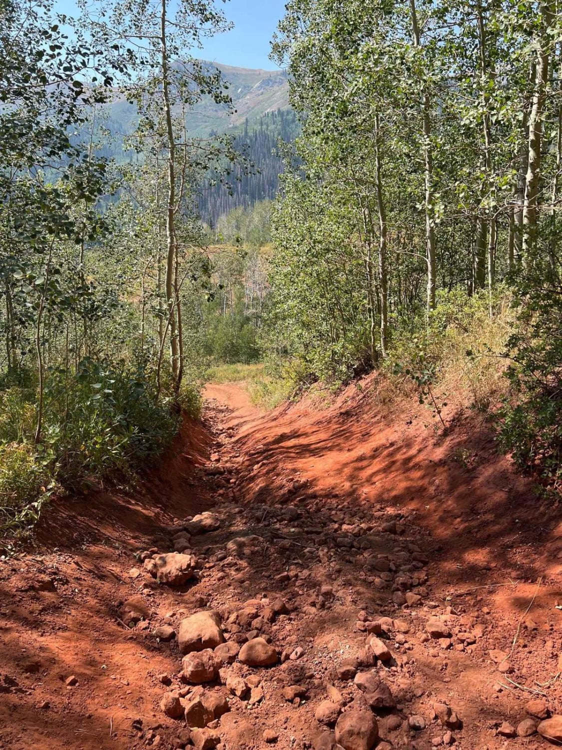
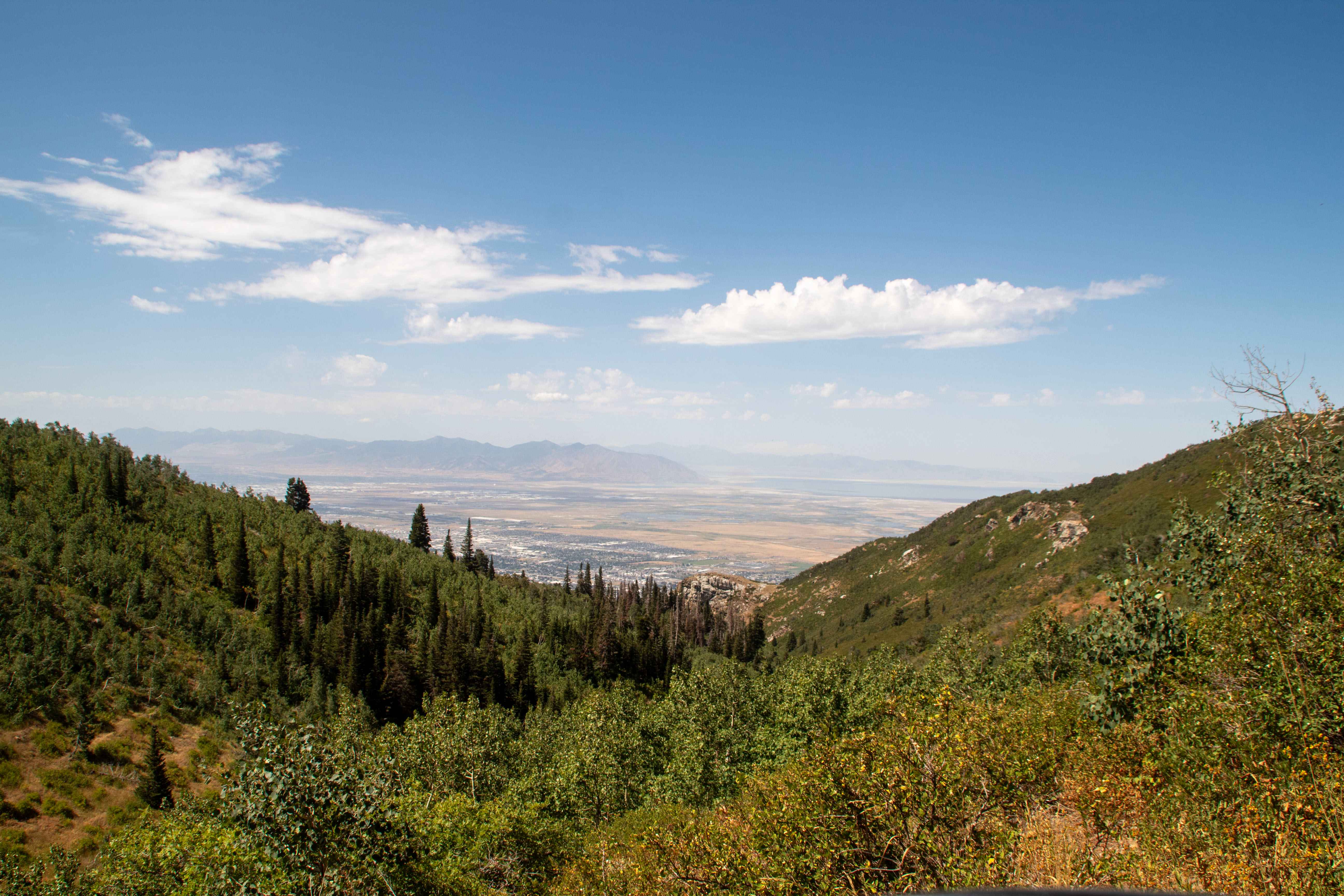
Trail Overview
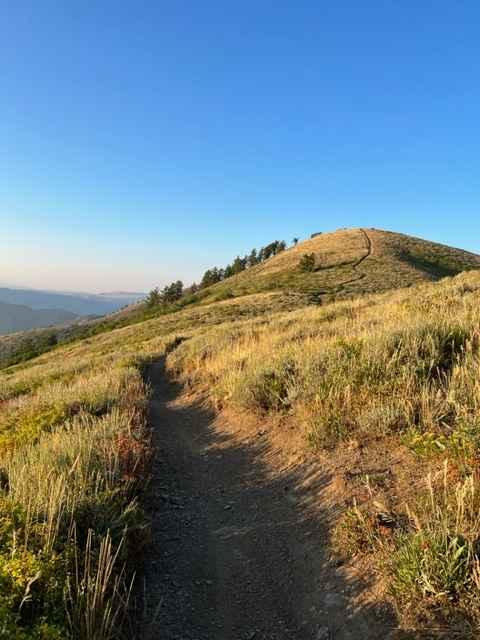
This is a 4x4 trail that breaks off from Farmington Canyon Loop. It starts off rocky and rutted from snow melt. There are several off-camber sections and large mud pits which would make this difficult for vehicles with low clearance. The trail offers great views from the top of the Wasatch range.
Photos of Arthur's Fork
Difficulty
Several large mud holes and off-camber trail sections which you'll need higher clearance for.
Status Reports
Arthur's Fork can be accessed by the following ride types:
- High-Clearance 4x4
- SxS (60")
- ATV (50")
- Dirt Bike
Arthur's Fork Map
Popular Trails

Main Canyon - FS 70046
Lower Parish Creek
Left Fork Hobble Creek - FS 70147
Lewis Peak (6041)
The onX Offroad Difference
onX Offroad combines trail photos, descriptions, difficulty ratings, width restrictions, seasonality, and more in a user-friendly interface. Available on all devices, with offline access and full compatibility with CarPlay and Android Auto. Discover what you’re missing today!