Powerline Trail
Total Miles
4.7
Technical Rating
Best Time
Spring, Summer, Fall
Trail Type
High-Clearance 4x4 Trail
Accessible By
Trail Overview
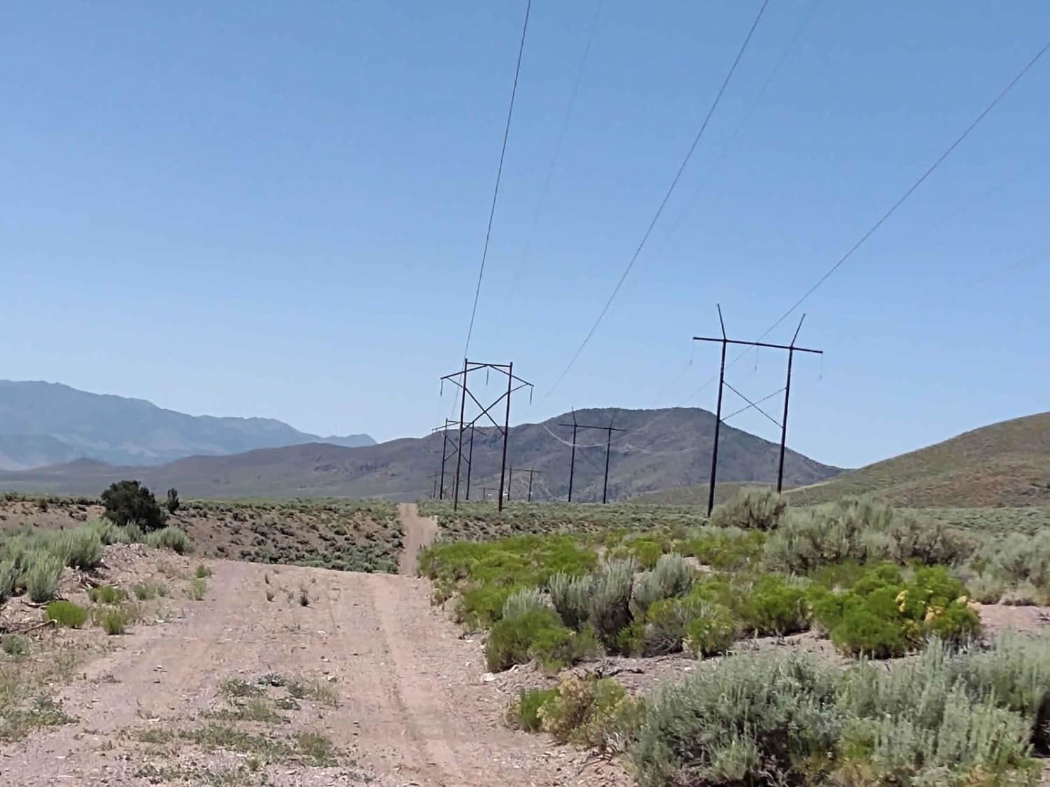
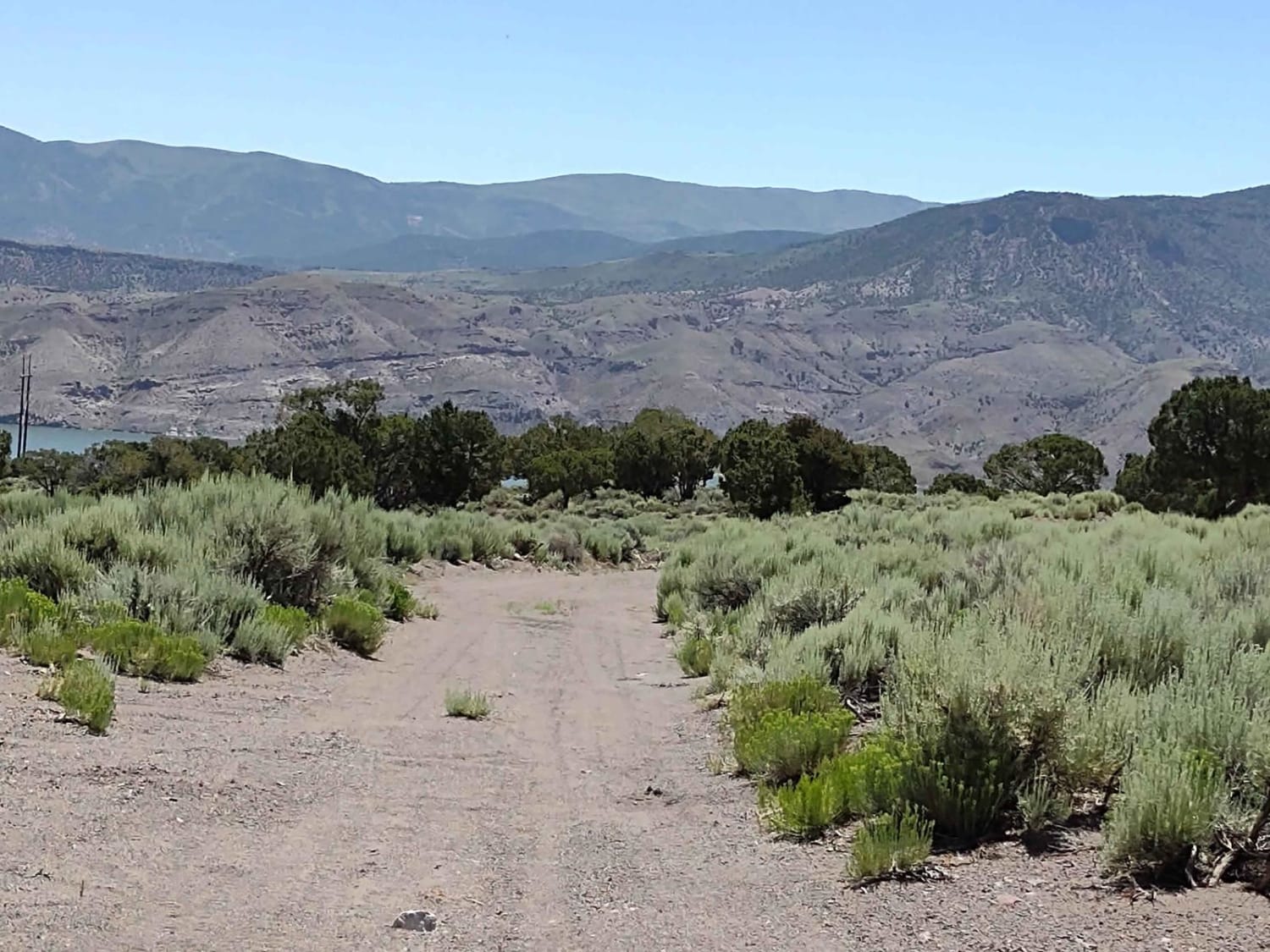
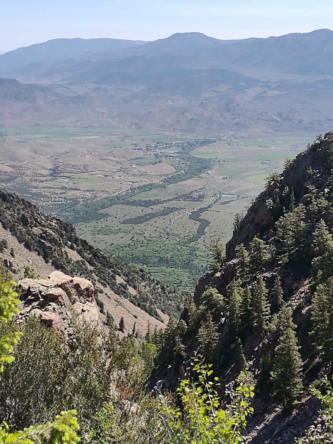
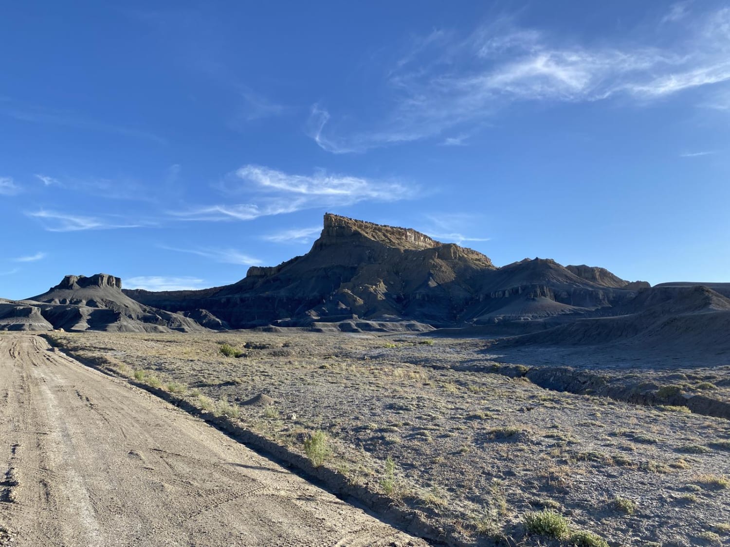
This 5-mile Powerline Trail takes you south from Fallen Tree Gulch to Highway 153 and the numerous trails in the area just west of Junction, UT. The Powerline Trail is easy, moving over and around the hills, generally following the powerline. There are a lot of side and spur trails to take as well. This trail is a good option to save your tires by avoiding pavement. Don't forget, to off-road in UT you need to have the online education course certificate as well as the OHV sticker.
Photos of Powerline Trail
Difficulty
This is an easy track. If it was wet, it would be muddy.
Status Reports
Powerline Trail can be accessed by the following ride types:
- High-Clearance 4x4
- SxS (60")
- ATV (50")
- Dirt Bike
Powerline Trail Map
Popular Trails
Willow Springs Wash Road

Sage Draw - FS 80341
The onX Offroad Difference
onX Offroad combines trail photos, descriptions, difficulty ratings, width restrictions, seasonality, and more in a user-friendly interface. Available on all devices, with offline access and full compatibility with CarPlay and Android Auto. Discover what you’re missing today!
