Off-Road Trails in Utah
Discover off-road trails in Utah
Learn more about Rattlesnake Gulch to Toquerville Falls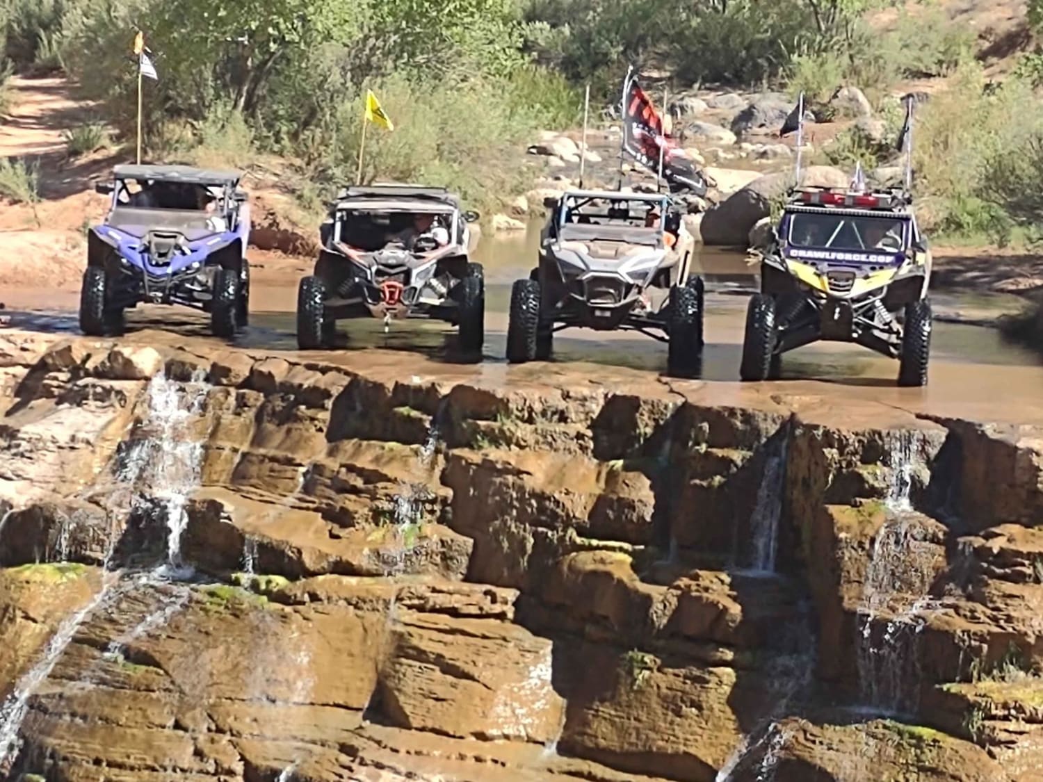
Rattlesnake Gulch to Toquerville Falls
Total Miles
6.5
Tech Rating
Moderate
Best Time
Spring, Summer, Fall
Learn more about Rattlesnake Hill
Rattlesnake Hill
Total Miles
2.8
Tech Rating
Moderate
Best Time
Spring, Summer, Fall
Learn more about Rattlesnake Ranch Road - 0088
Rattlesnake Ranch Road - 0088
Total Miles
3.5
Tech Rating
Easy
Best Time
Spring, Summer, Fall
Learn more about Rattlesnake Ravine
Rattlesnake Ravine
Total Miles
7.7
Tech Rating
Easy
Best Time
Spring, Fall, Summer, Winter
Learn more about Rattlesnake Trail Technical
Rattlesnake Trail Technical
Total Miles
1.4
Tech Rating
Moderate
Best Time
Spring, Summer, Fall
Learn more about Razzle Dazzle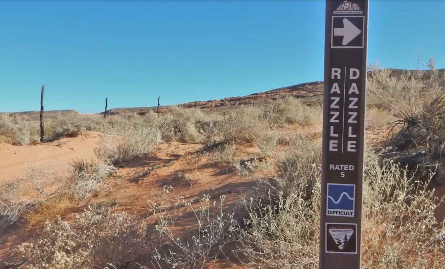
Razzle Dazzle
Total Miles
16.8
Tech Rating
Moderate
Best Time
Spring, Summer, Fall, Winter
Learn more about Recapture Rim Trail
Recapture Rim Trail
Total Miles
5.7
Tech Rating
Easy
Best Time
Spring, Summer, Fall, Winter
Learn more about Red Butte Trail 
Red Butte Trail
Total Miles
1.4
Tech Rating
Moderate
Best Time
Spring, Winter, Fall
Learn more about Red Canyon 2.5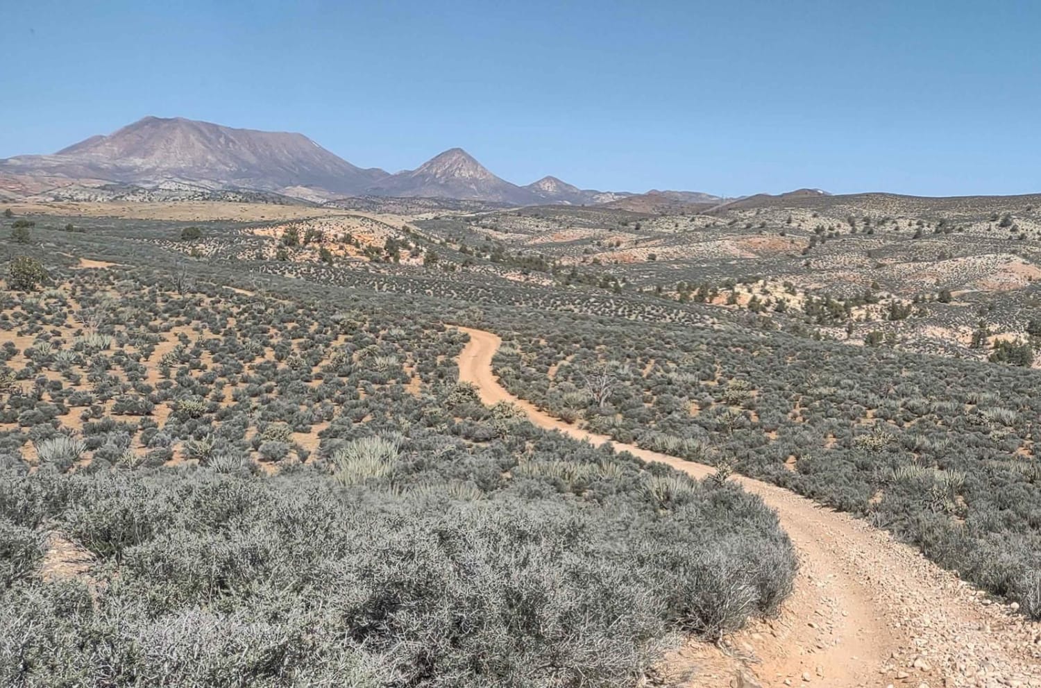
Red Canyon 2.5
Total Miles
6.7
Tech Rating
Easy
Best Time
Spring, Summer, Fall, Winter
Learn more about Red Canyon/Back Way to Motoqua Birthing Cave
Red Canyon/Back Way to Motoqua Birthing Cave
Total Miles
2.0
Tech Rating
Easy
Best Time
Spring, Summer, Fall, Winter
Learn more about Red Cliffs Hidden Canyons View
Red Cliffs Hidden Canyons View
Total Miles
0.4
Tech Rating
Easy
Best Time
Spring, Summer, Fall, Winter
Learn more about Red Cliffs Rec Area to Virgin River
Red Cliffs Rec Area to Virgin River
Total Miles
4.7
Tech Rating
Easy
Best Time
Spring, Summer, Fall, Winter
Learn more about Red Creek Road (FR30078)
Red Creek Road (FR30078)
Total Miles
8.6
Tech Rating
Easy
Best Time
Spring, Summer, Fall
Learn more about Red Ledges Access Trail No.160
Red Ledges Access Trail No.160
Total Miles
0.8
Tech Rating
Difficult
Best Time
Summer, Fall
Learn more about Red Ledges Trail No. 019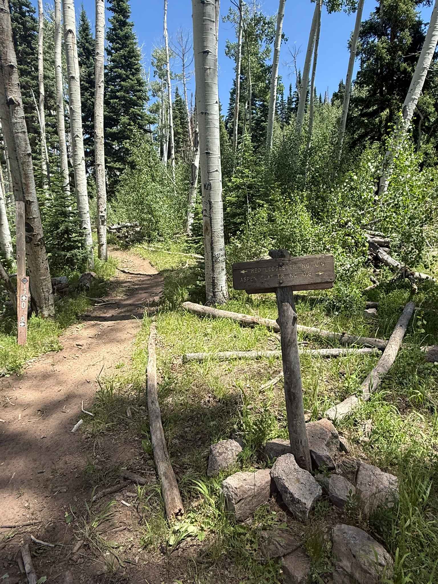
Red Ledges Trail No. 019
Total Miles
4.8
Tech Rating
Difficult
Best Time
Summer, Fall
Learn more about Red Mountain Moonshine Arch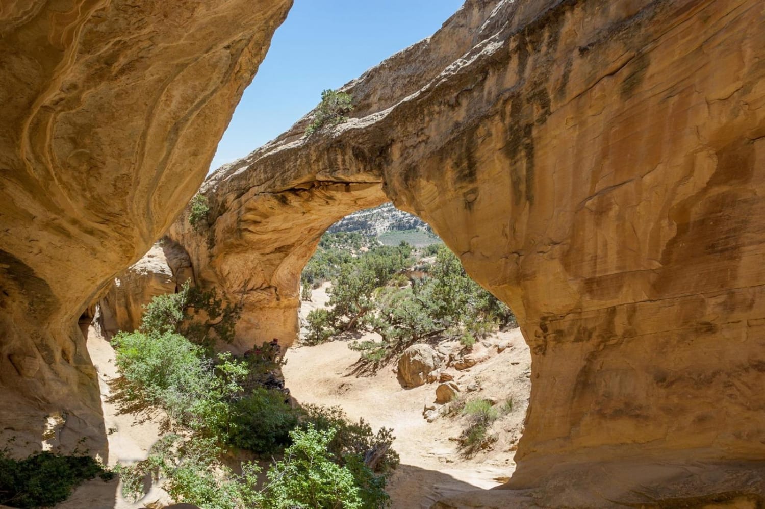
Red Mountain Moonshine Arch
Total Miles
21.3
Tech Rating
Difficult
Best Time
Spring, Summer, Fall, Winter
Learn more about Red Mountain West Access-Vernal
Red Mountain West Access-Vernal
Total Miles
1.0
Tech Rating
Easy
Best Time
Spring, Summer, Fall, Winter
ATV trails in Utah

Learn more about 14 Mile Road
14 Mile Road
Total Miles
14.7
Tech Rating
Easy
Best Time
Spring, Summer, Fall, Winter


UTV/side-by-side trails in Utah
Learn more about 14 Mile Road
14 Mile Road
Total Miles
14.7
Tech Rating
Easy
Best Time
Spring, Summer, Fall, Winter
The onX Offroad Difference
onX Offroad combines trail photos, descriptions, difficulty ratings, width restrictions, seasonality, and more in a user-friendly interface. Available on all devices, with offline access and full compatibility with CarPlay and Android Auto. Discover what you’re missing today!