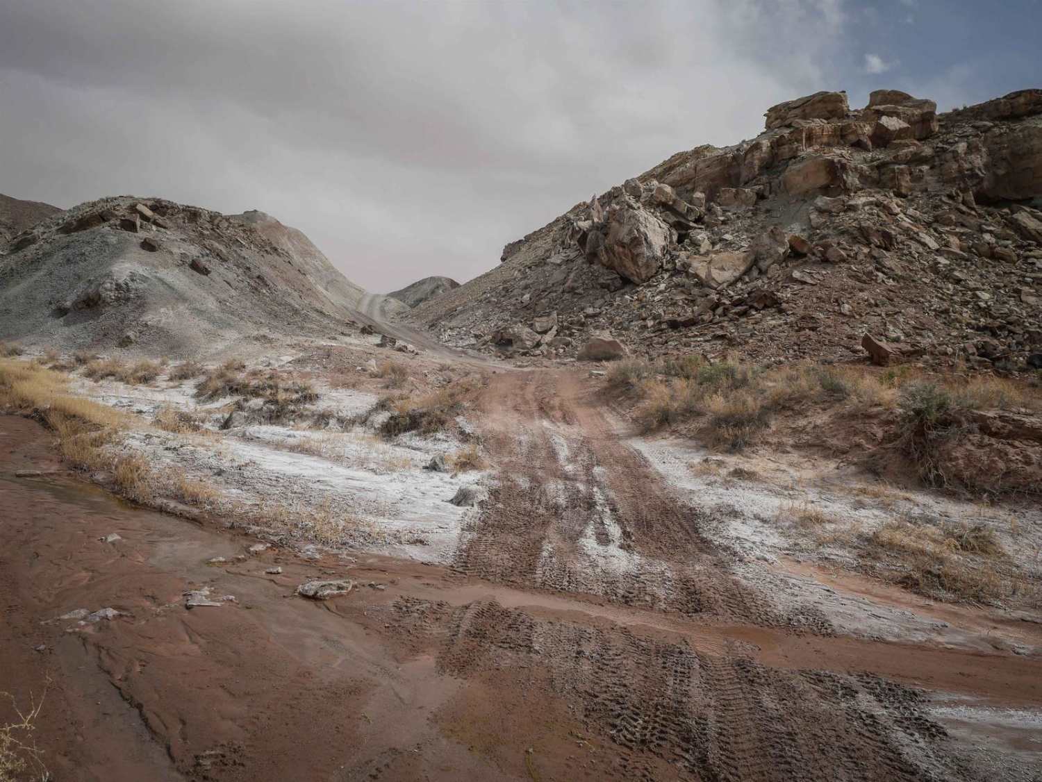
Off-Road Trails in Utah
Discover off-road trails in Utah
Learn more about Rydalen Canyon Road to White Rocks
Rydalen Canyon Road to White Rocks
Total Miles
9.1
Tech Rating
Easy
Best Time
Spring, Summer, Fall, Winter
Learn more about Saddle ATV Trail
Saddle ATV Trail
Total Miles
0.8
Tech Rating
Easy
Best Time
Winter, Fall, Spring
Learn more about Sage Draw - FS 80341
Sage Draw - FS 80341
Total Miles
4.5
Tech Rating
Easy
Best Time
Fall, Summer, Spring
Learn more about Sage Speedway
Sage Speedway
Total Miles
4.3
Tech Rating
Easy
Best Time
Fall, Summer, Winter
Learn more about Sagebrush Sprint
Sagebrush Sprint
Total Miles
10.0
Tech Rating
Easy
Best Time
Summer, Fall, Spring, Winter
Learn more about Salamander Flat (2150)
Salamander Flat (2150)
Total Miles
1.9
Tech Rating
Easy
Best Time
Summer, Fall
Learn more about Saleratus Point-BLM13260
Saleratus Point-BLM13260
Total Miles
3.1
Tech Rating
Easy
Best Time
Spring, Summer, Fall, Winter
Learn more about Salina Creek
Salina Creek
Total Miles
12.1
Tech Rating
Easy
Best Time
Spring, Summer, Fall
Learn more about Salt - Crystal Connector
Salt - Crystal Connector
Total Miles
1.5
Tech Rating
Easy
Best Time
Spring, Winter, Fall
Learn more about Salt Valley - Yellow Cat
Salt Valley - Yellow Cat
Total Miles
10.0
Tech Rating
Easy
Best Time
Spring
Learn more about Salt Valley 146
Salt Valley 146
Total Miles
5.5
Tech Rating
Easy
Best Time
Spring, Summer, Fall, Winter
Learn more about Salt Valley Gorge
Salt Valley Gorge
Total Miles
14.7
Tech Rating
Easy
Best Time
Spring, Summer, Fall, Winter
Learn more about Salt Valley Gorge Connector East
Salt Valley Gorge Connector East
Total Miles
1.8
Tech Rating
Easy
Best Time
Spring, Summer, Fall, Winter
Learn more about Salt Valley Gorge Connector West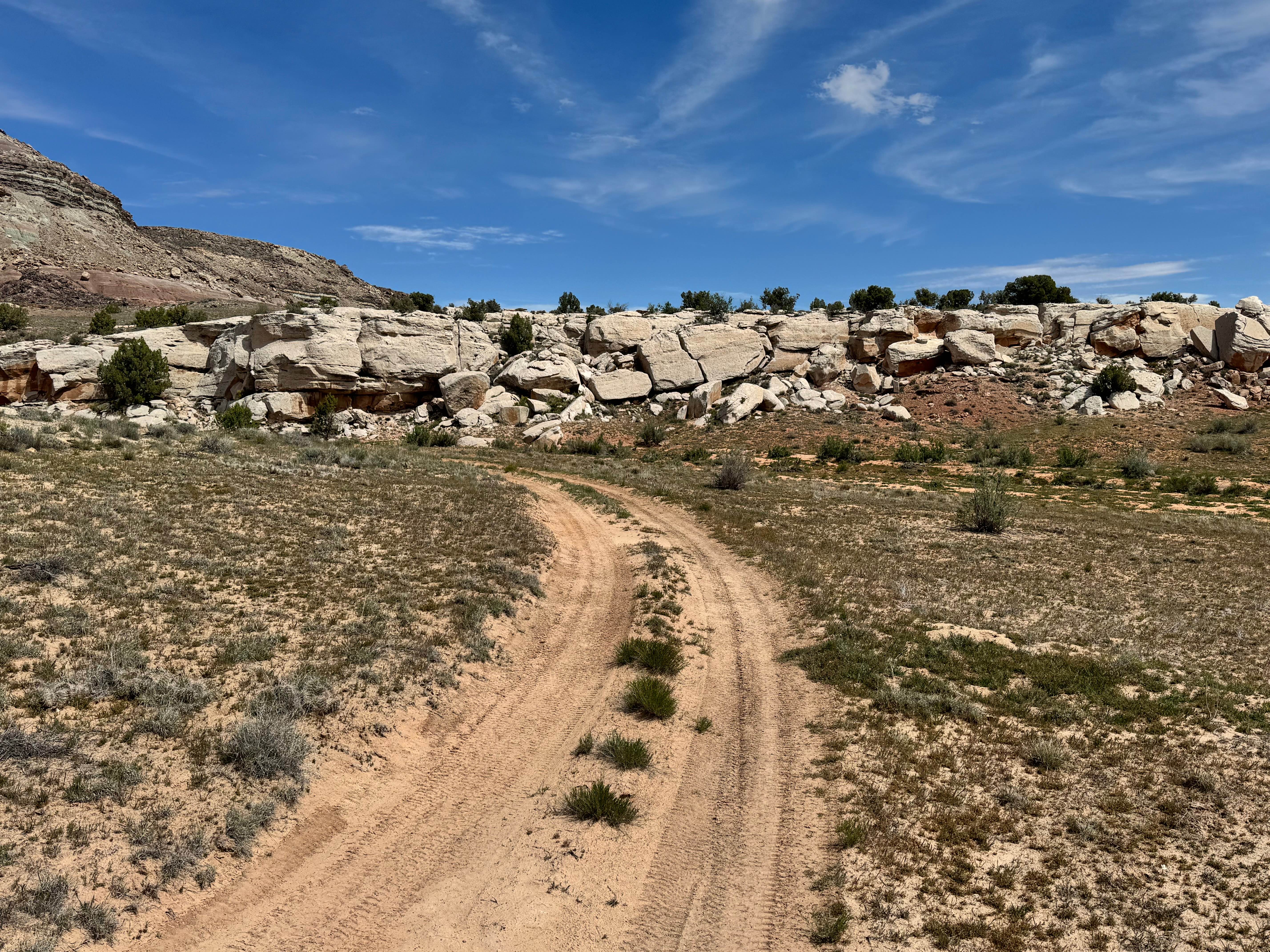
Salt Valley Gorge Connector West
Total Miles
1.9
Tech Rating
Easy
Best Time
Spring, Summer, Fall, Winter
Learn more about Salt Valley Road Connector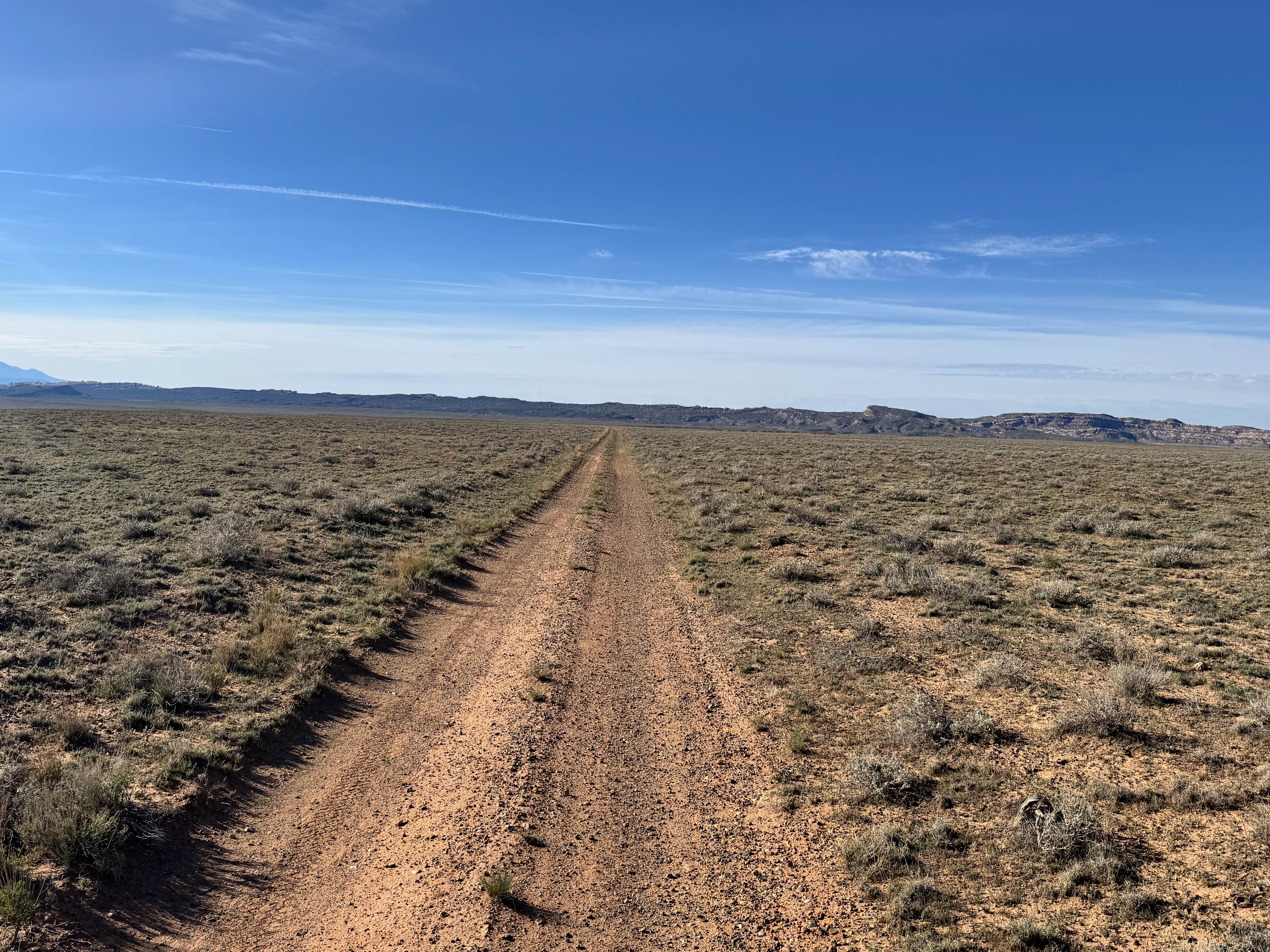
Salt Valley Road Connector
Total Miles
5.4
Tech Rating
Easy
Best Time
Spring, Summer, Fall, Winter
Learn more about Salt Wash Single Track 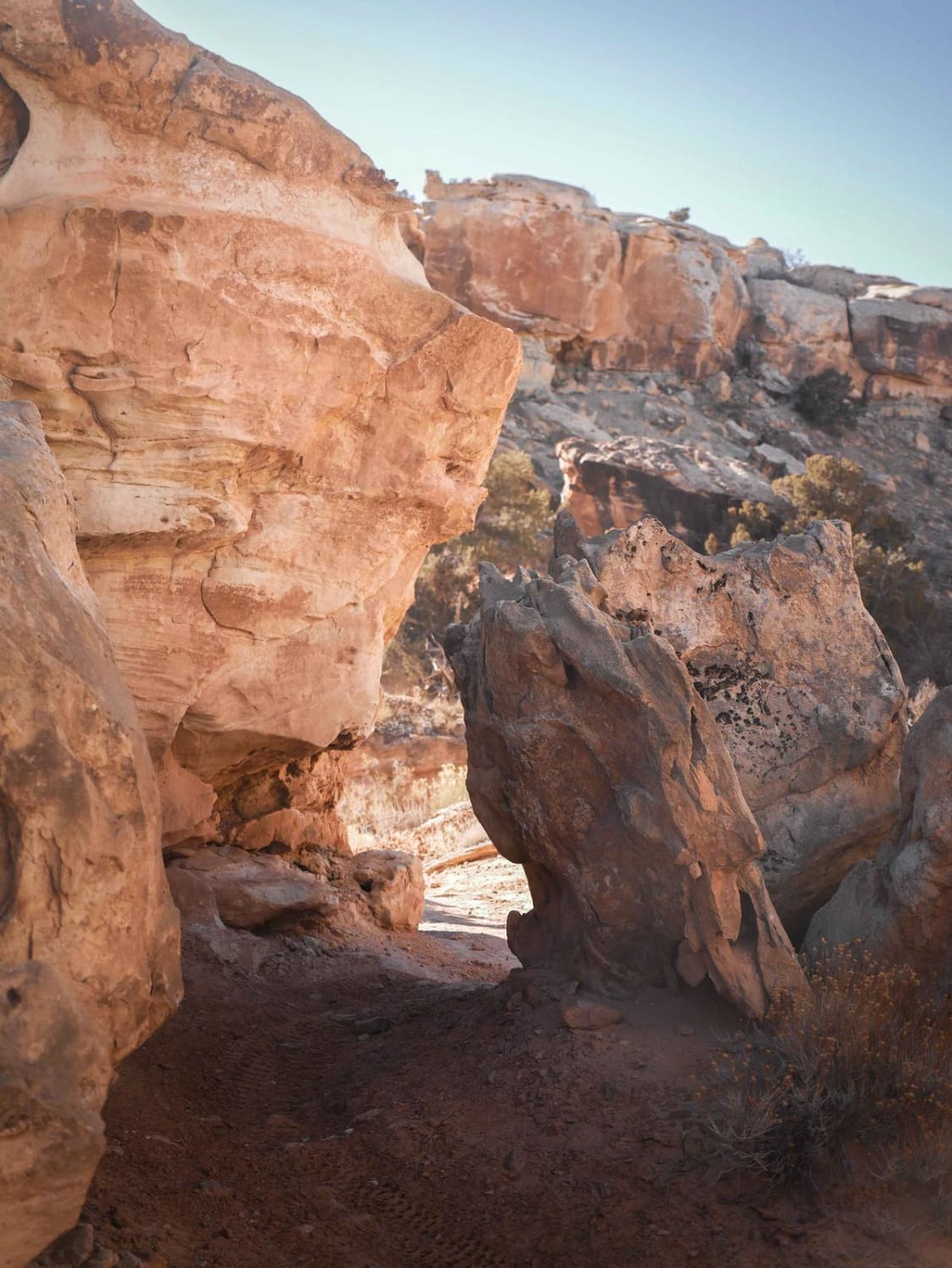
Salt Wash Single Track
Total Miles
4.1
Tech Rating
Difficult
Best Time
Winter, Spring, Fall
ATV trails in Utah

Learn more about 14 Mile Road
14 Mile Road
Total Miles
14.7
Tech Rating
Easy
Best Time
Spring, Summer, Fall, Winter


UTV/side-by-side trails in Utah
Learn more about 14 Mile Road
14 Mile Road
Total Miles
14.7
Tech Rating
Easy
Best Time
Spring, Summer, Fall, Winter
The onX Offroad Difference
onX Offroad combines trail photos, descriptions, difficulty ratings, width restrictions, seasonality, and more in a user-friendly interface. Available on all devices, with offline access and full compatibility with CarPlay and Android Auto. Discover what you’re missing today!