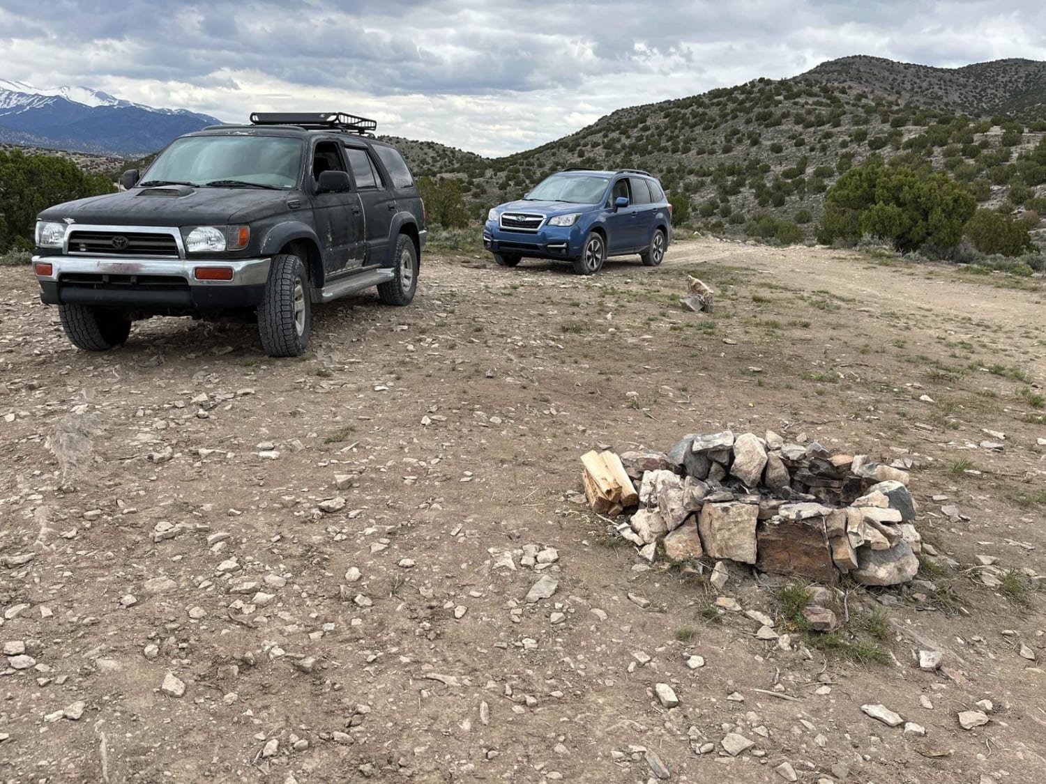
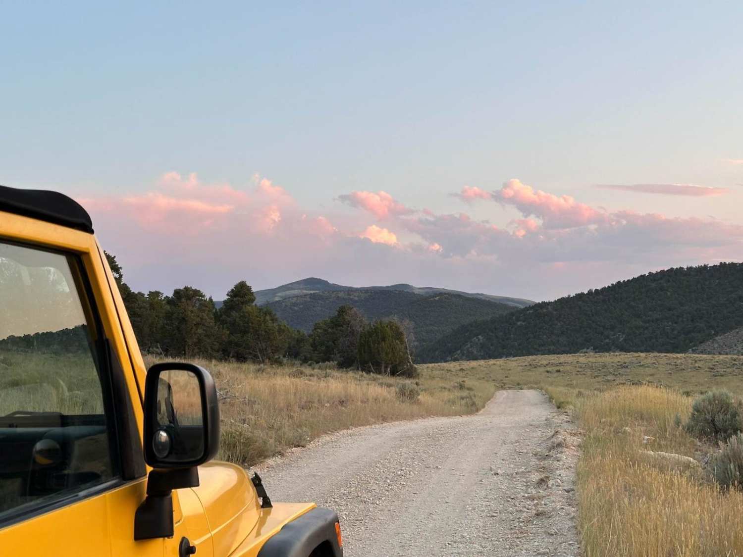
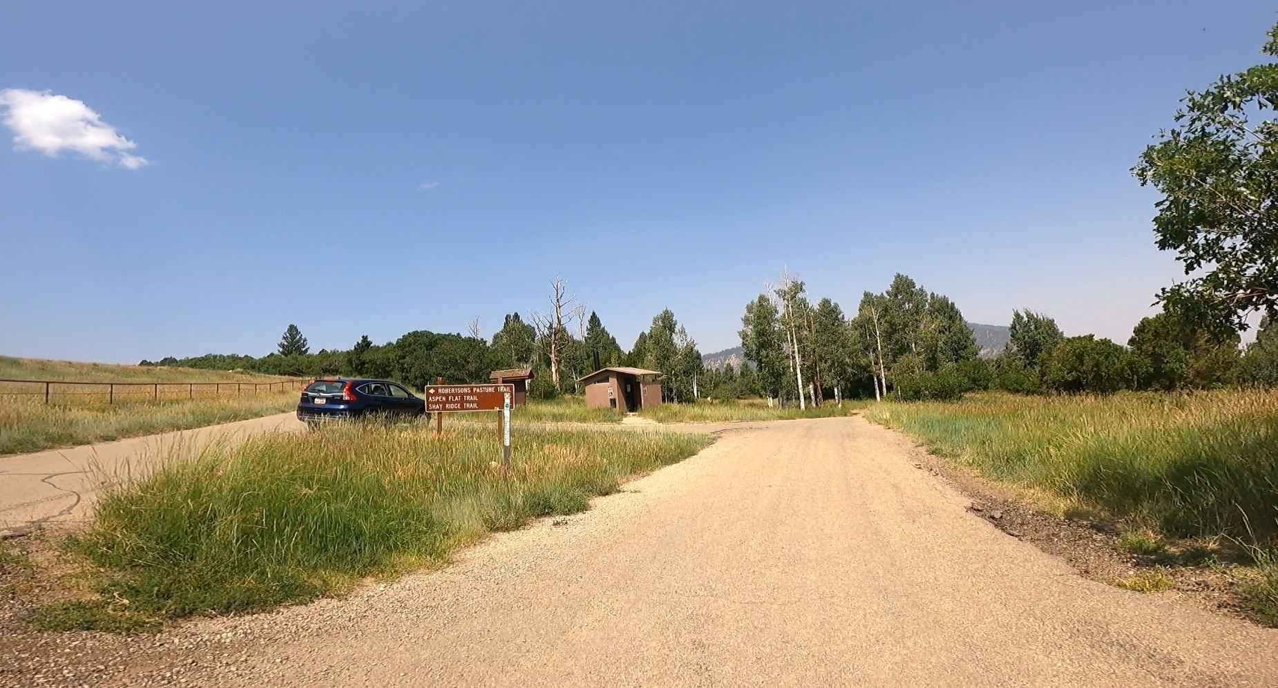
Off-Road Trails in Utah
Discover off-road trails in Utah
Learn more about Sanitarium
Sanitarium
Total Miles
2.2
Tech Rating
Extreme
Best Time
Spring, Summer, Fall, Winter
Learn more about Saucer Canyon
Saucer Canyon
Total Miles
2.8
Tech Rating
Moderate
Best Time
Spring, Summer, Fall
Learn more about Scarecrow Peak Road
Scarecrow Peak Road
Total Miles
5.5
Tech Rating
Easy
Best Time
Spring, Summer, Fall
Learn more about Scorups Meadow Road
Scorups Meadow Road
Total Miles
5.6
Tech Rating
Easy
Best Time
Spring, Summer, Fall, Winter
Learn more about Seaman Canyon Road
Seaman Canyon Road
Total Miles
6.9
Tech Rating
Easy
Best Time
Summer, Fall
Learn more about Seaman Wash Road-BLM563-KC3400
Seaman Wash Road-BLM563-KC3400
Total Miles
8.6
Tech Rating
Easy
Best Time
Spring, Summer, Fall, Winter
Learn more about Second Left Hand 
Second Left Hand
Total Miles
5.9
Tech Rating
Easy
Best Time
Spring, Summer, Fall
Learn more about Secret Mesa-BLM648
Secret Mesa-BLM648
Total Miles
2.0
Tech Rating
Easy
Best Time
Spring, Summer, Fall, Winter
Learn more about Seep Hollow
Seep Hollow
Total Miles
2.3
Tech Rating
Moderate
Best Time
Summer, Spring, Fall
Learn more about Segers Hole Overlook to Carlysle Wash Road
Segers Hole Overlook to Carlysle Wash Road
Total Miles
35.2
Tech Rating
Easy
Best Time
Spring, Summer, Fall, Winter
Learn more about Sessions Mountain Road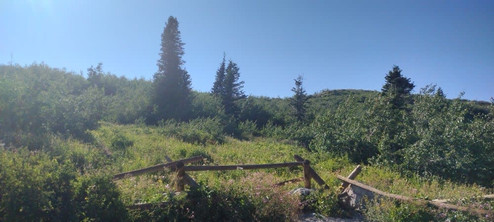
Sessions Mountain Road
Total Miles
2.5
Tech Rating
Easy
Best Time
Summer, Fall
Learn more about Seven Crossing BLM30754
Seven Crossing BLM30754
Total Miles
2.9
Tech Rating
Easy
Best Time
Summer, Spring, Fall, Winter
Learn more about Sevenmile Rim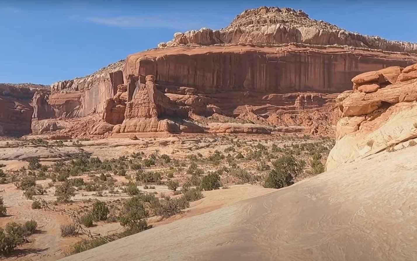
Sevenmile Rim
Total Miles
15.1
Tech Rating
Moderate
Best Time
Spring, Summer, Fall, Winter
Learn more about Sevier River Access (BM6241)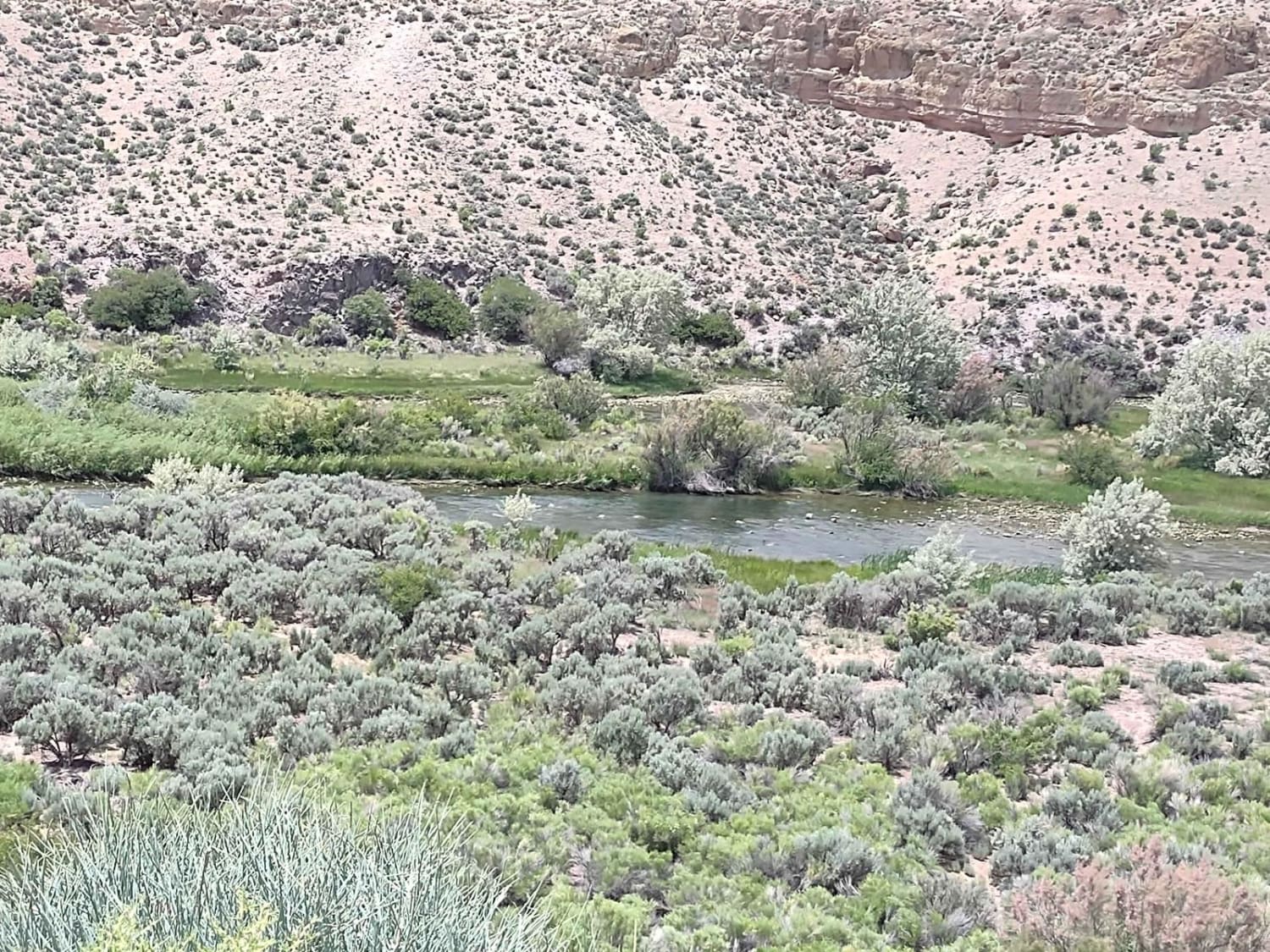
Sevier River Access (BM6241)
Total Miles
4.5
Tech Rating
Easy
Best Time
Spring, Summer, Fall
Learn more about Sevier River North Overlook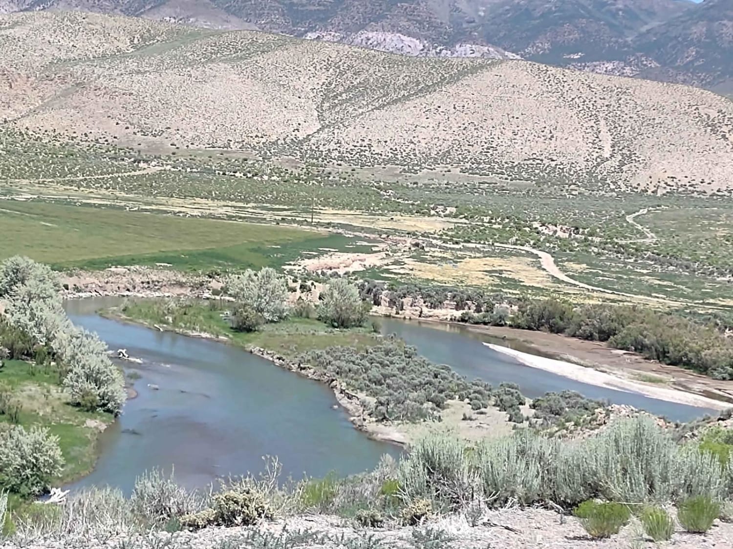
Sevier River North Overlook
Total Miles
1.5
Tech Rating
Easy
Best Time
Spring, Summer, Fall
Learn more about Sevier River South Overlook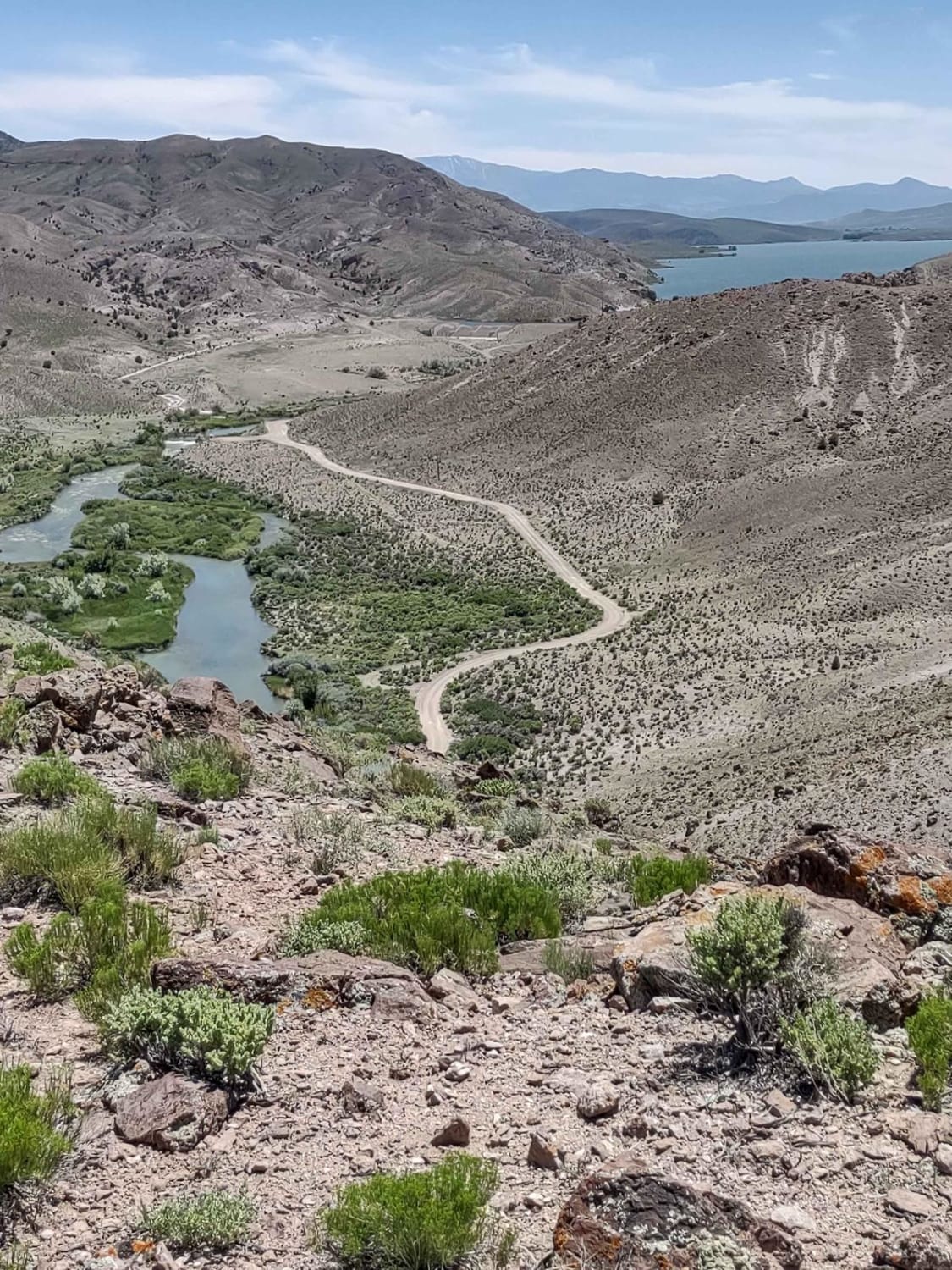
Sevier River South Overlook
Total Miles
1.6
Tech Rating
Easy
Best Time
Spring, Summer, Fall
ATV trails in Utah

Learn more about 14 Mile Road
14 Mile Road
Total Miles
14.7
Tech Rating
Easy
Best Time
Spring, Summer, Fall, Winter


UTV/side-by-side trails in Utah
Learn more about 14 Mile Road
14 Mile Road
Total Miles
14.7
Tech Rating
Easy
Best Time
Spring, Summer, Fall, Winter
The onX Offroad Difference
onX Offroad combines trail photos, descriptions, difficulty ratings, width restrictions, seasonality, and more in a user-friendly interface. Available on all devices, with offline access and full compatibility with CarPlay and Android Auto. Discover what you’re missing today!