Off-Road Trails in Utah
Discover off-road trails in Utah
Learn more about Slickrock Main Loop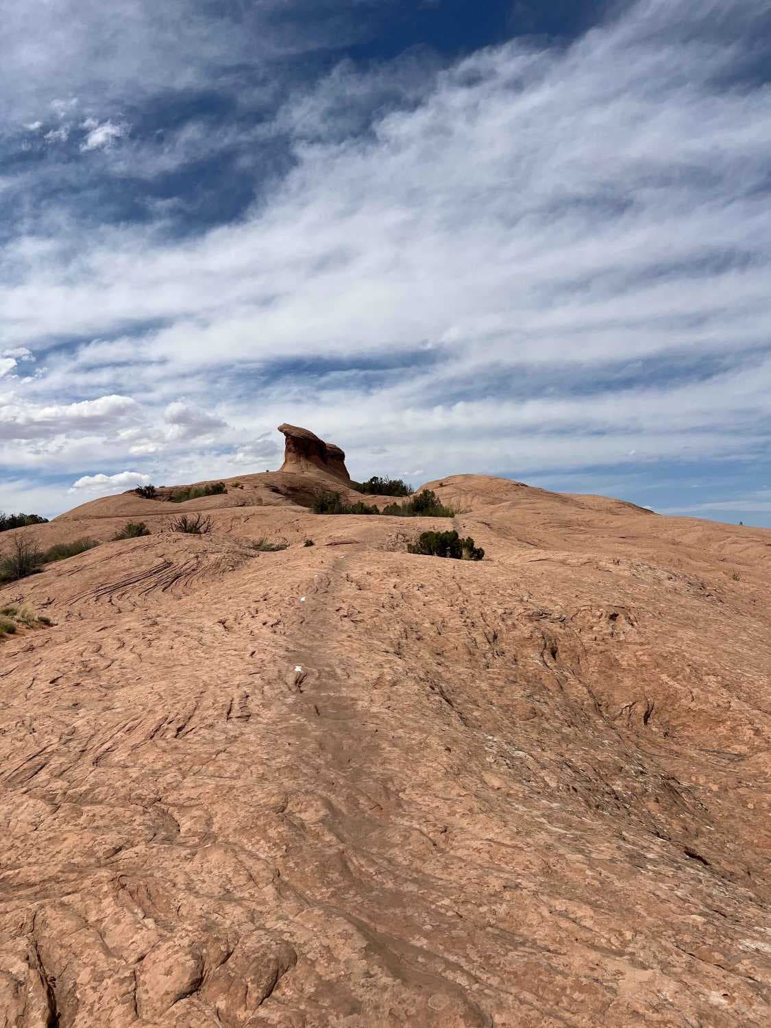
Slickrock Main Loop
Total Miles
5.1
Tech Rating
Moderate
Best Time
Summer, Spring, Fall
Learn more about Slickrock Moab Overlook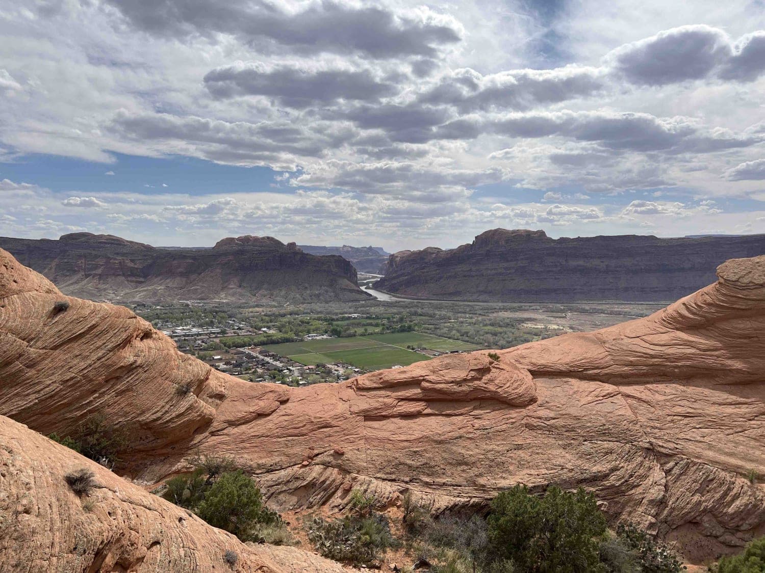
Slickrock Moab Overlook
Total Miles
0.2
Tech Rating
Easy
Best Time
Spring, Summer, Fall
Learn more about Slickrock Trail Practice Loop 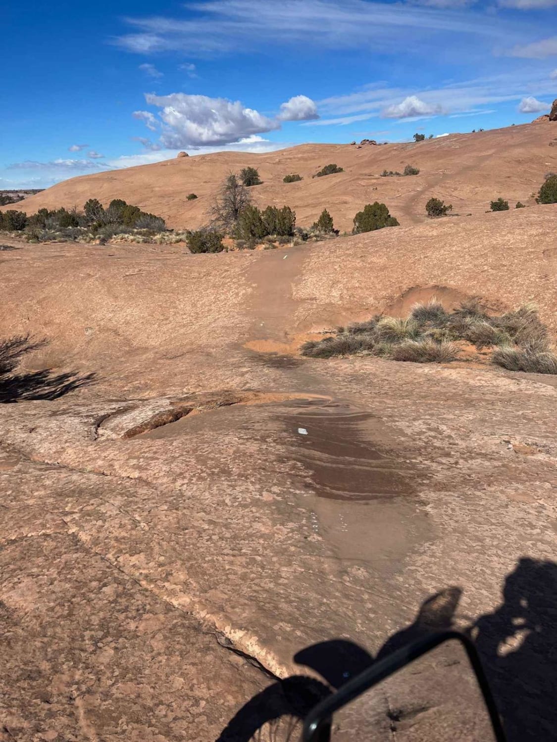
Slickrock Trail Practice Loop
Total Miles
2.3
Tech Rating
Moderate
Best Time
Spring, Summer, Fall
Learn more about Sliplock Gulch
Sliplock Gulch
Total Miles
3.2
Tech Rating
Moderate
Best Time
Spring, Fall, Winter
Learn more about Sliplock Gulch-Sliplock Lite
Sliplock Gulch-Sliplock Lite
Total Miles
2.7
Tech Rating
Moderate
Best Time
Spring, Summer, Fall, Winter
Learn more about Slow Elk Road-JC8122901
Slow Elk Road-JC8122901
Total Miles
11.7
Tech Rating
Easy
Best Time
Spring, Summer, Fall, Winter
Learn more about Slow Elk Wash Road-TC02850
Slow Elk Wash Road-TC02850
Total Miles
2.1
Tech Rating
Easy
Best Time
Spring, Summer, Fall, Winter
Learn more about Smelter Knolls East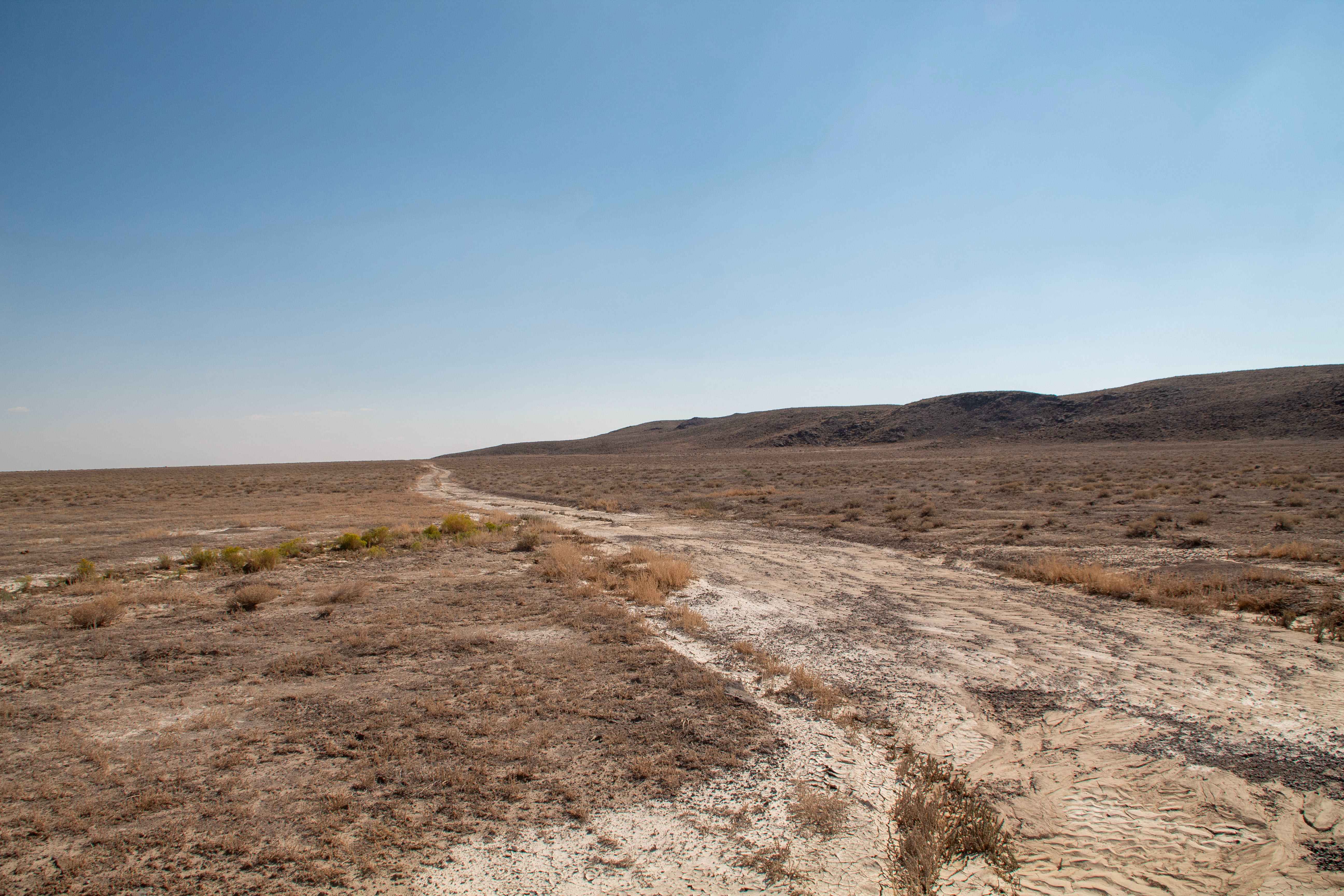
Smelter Knolls East
Total Miles
2.9
Tech Rating
Easy
Best Time
Spring, Summer, Fall, Winter
Learn more about Smelter Knolls Powerline Trail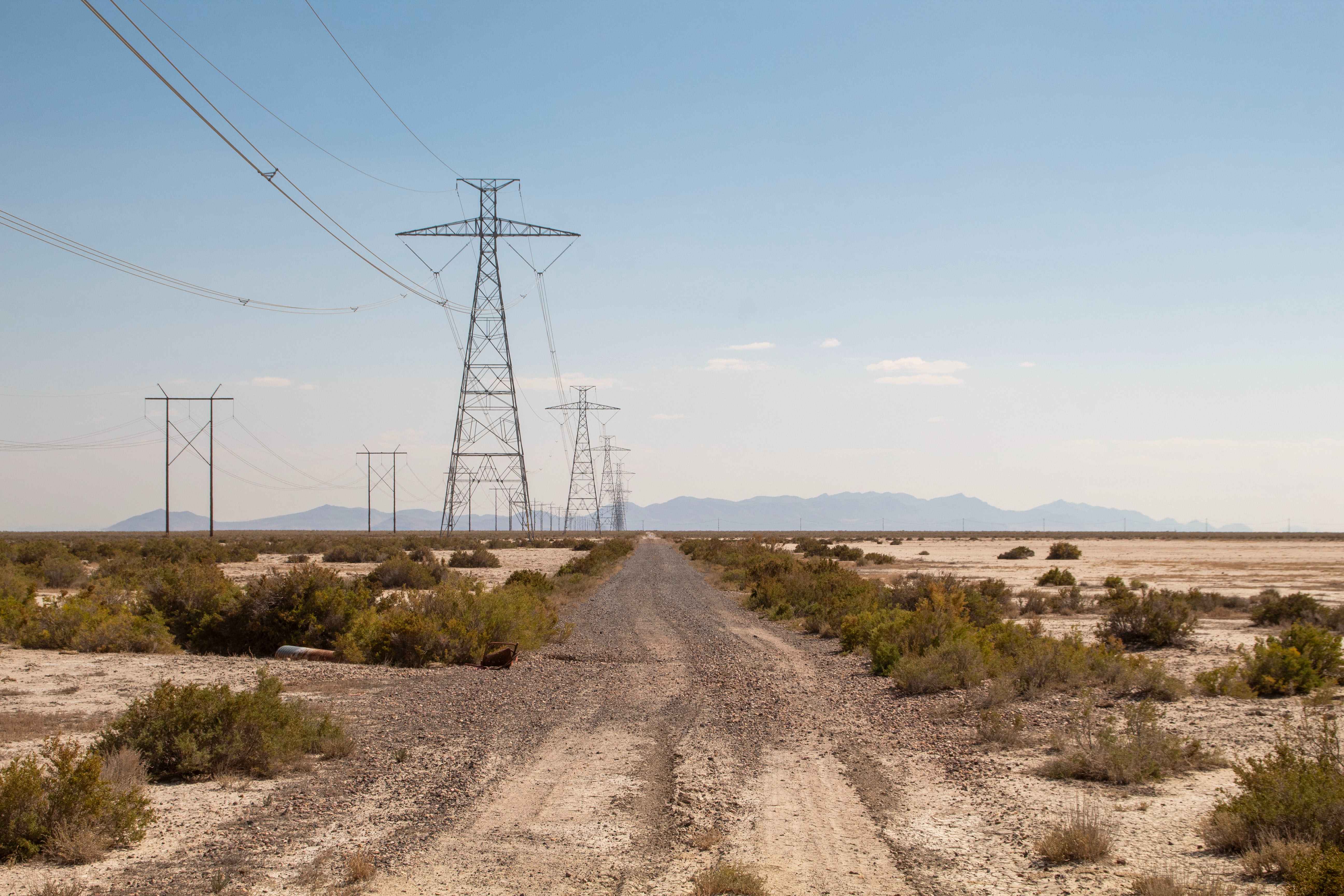
Smelter Knolls Powerline Trail
Total Miles
9.7
Tech Rating
Easy
Best Time
Spring, Summer, Fall, Winter
Learn more about Smelter Knolls Wash
Smelter Knolls Wash
Total Miles
0.3
Tech Rating
Easy
Best Time
Spring, Summer, Winter, Fall
Learn more about Smelter Knolls West
Smelter Knolls West
Total Miles
1.0
Tech Rating
Easy
Best Time
Spring, Summer, Fall, Winter
Learn more about Smith Camp Road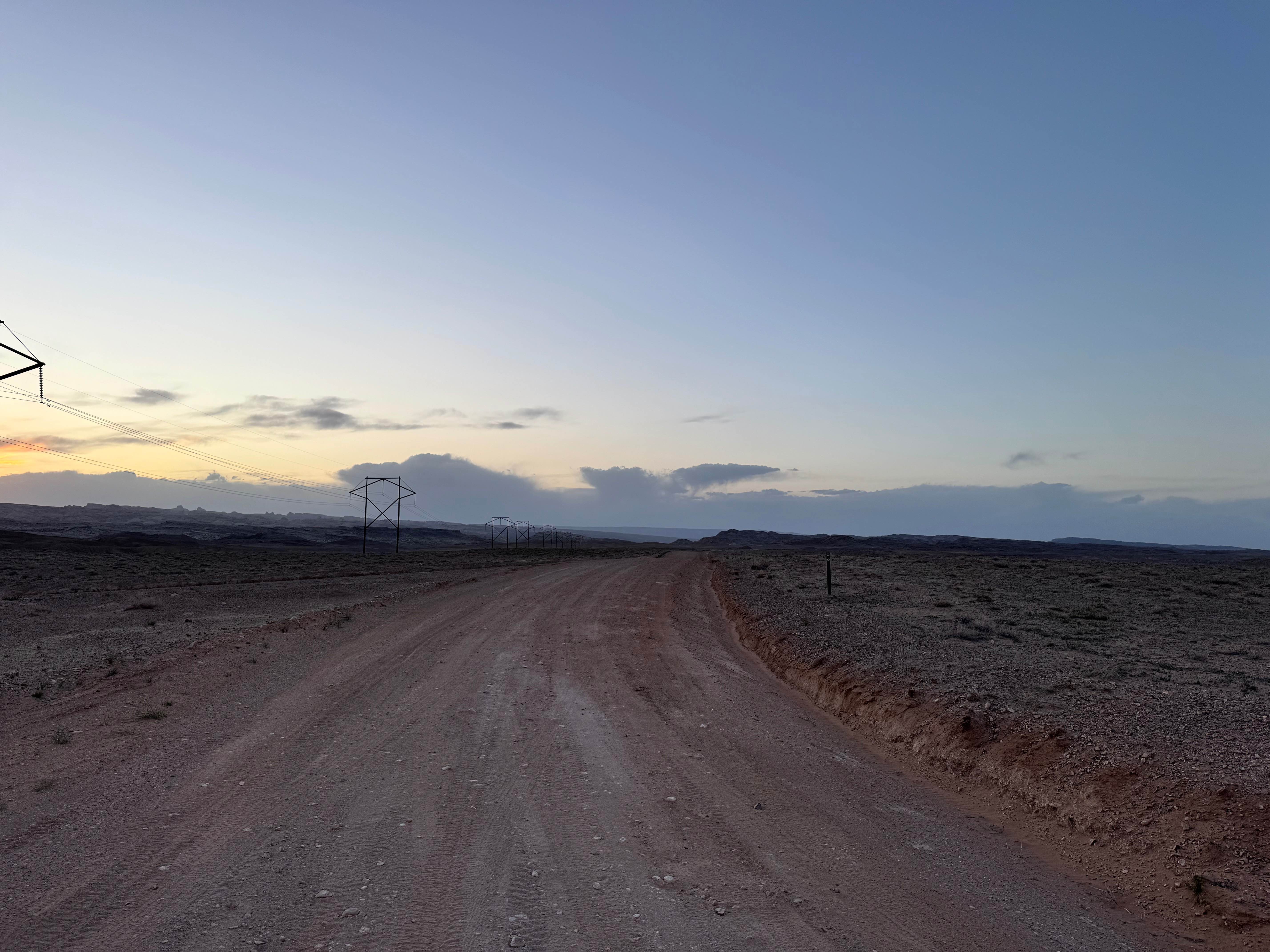
Smith Camp Road
Total Miles
2.2
Tech Rating
Easy
Best Time
Spring, Summer, Fall, Winter
Learn more about Smith Canyon Access (FS# 41190)
Smith Canyon Access (FS# 41190)
Total Miles
1.4
Tech Rating
Easy
Best Time
Spring, Summer, Fall
Learn more about Smith Mesa To Rattlesnake Gulch
Smith Mesa To Rattlesnake Gulch
Total Miles
3.2
Tech Rating
Easy
Best Time
Spring, Summer, Fall, Winter
Learn more about Smith Reservoir - FS 50232
Smith Reservoir - FS 50232
Total Miles
2.1
Tech Rating
Easy
Best Time
Spring, Summer, Fall
Learn more about Smith's Cabin to Wellington
Smith's Cabin to Wellington
Total Miles
53.7
Tech Rating
Moderate
Best Time
Spring, Summer, Fall, Winter
Learn more about Smokey Mountain Road (BLM330) 
Smokey Mountain Road (BLM330)
Total Miles
45.8
Tech Rating
Easy
Best Time
Spring, Summer, Fall
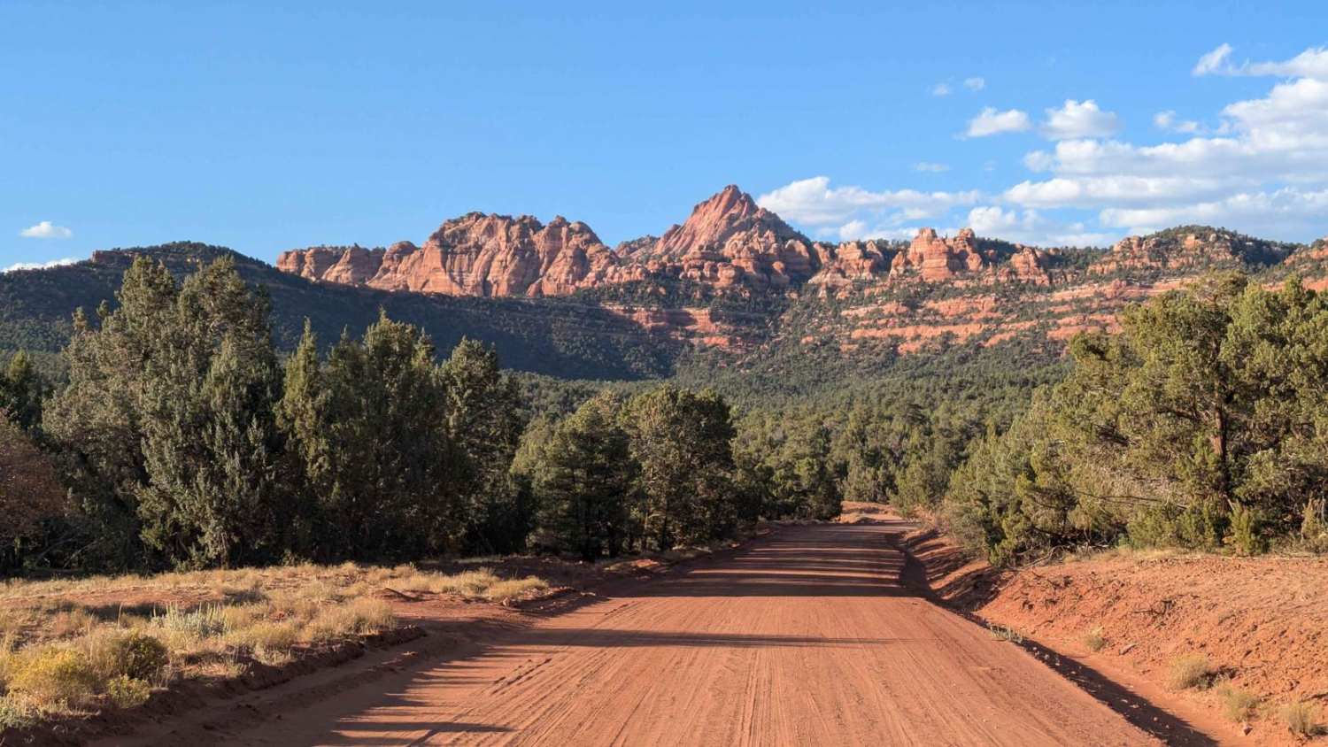
Learn more about Smokey Mountain Road Must See Sites
Smokey Mountain Road Must See Sites
Total Miles
2.2
Tech Rating
Easy
Best Time
Spring, Summer, Fall
ATV trails in Utah

Learn more about 14 Mile Road
14 Mile Road
Total Miles
14.7
Tech Rating
Easy
Best Time
Spring, Summer, Fall, Winter


UTV/side-by-side trails in Utah
Learn more about 14 Mile Road
14 Mile Road
Total Miles
14.7
Tech Rating
Easy
Best Time
Spring, Summer, Fall, Winter
The onX Offroad Difference
onX Offroad combines trail photos, descriptions, difficulty ratings, width restrictions, seasonality, and more in a user-friendly interface. Available on all devices, with offline access and full compatibility with CarPlay and Android Auto. Discover what you’re missing today!