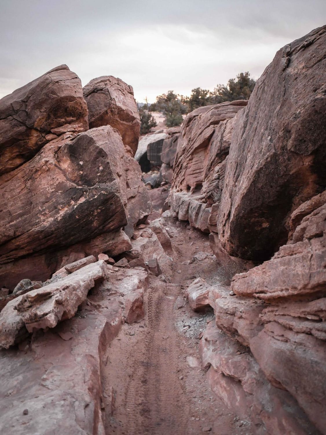
Off-Road Trails in Utah
Discover off-road trails in Utah
Learn more about South Reeder/Littles Canyon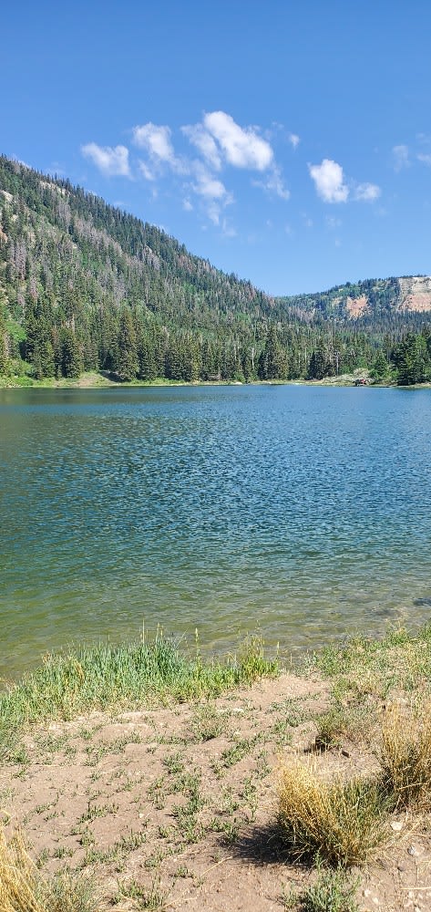
South Reeder/Littles Canyon
Total Miles
9.6
Tech Rating
Easy
Best Time
Spring, Summer, Fall
Learn more about South Willow Canyon
South Willow Canyon
Total Miles
4.4
Tech Rating
Easy
Best Time
Spring, Summer, Fall
Learn more about Southeast Promontory Road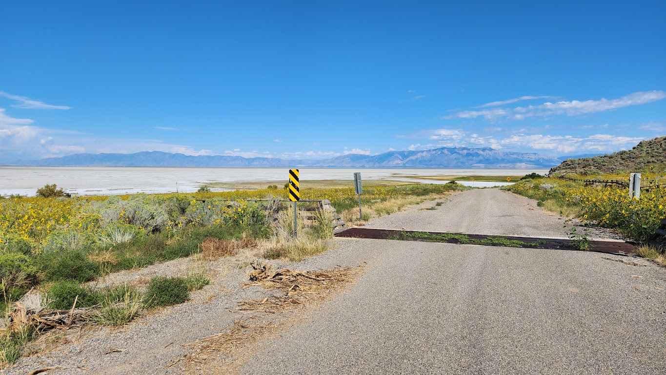
Southeast Promontory Road
Total Miles
13.7
Tech Rating
Easy
Best Time
Spring, Summer, Fall, Winter
Learn more about Southern Cathedral Valley Road
Southern Cathedral Valley Road
Total Miles
15.4
Tech Rating
Easy
Best Time
Spring, Summer, Fall, Winter
Learn more about Southside
Southside
Total Miles
0.9
Tech Rating
Easy
Best Time
Winter, Fall, Summer, Spring
Learn more about Southside Loop
Southside Loop
Total Miles
7.0
Tech Rating
Easy
Best Time
Spring, Summer, Fall
Learn more about Southside Tobin Bench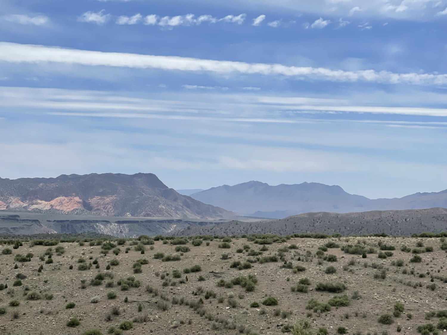
Southside Tobin Bench
Total Miles
2.7
Tech Rating
Easy
Best Time
Fall, Spring
Learn more about Sovereign (Cedar Mountain) 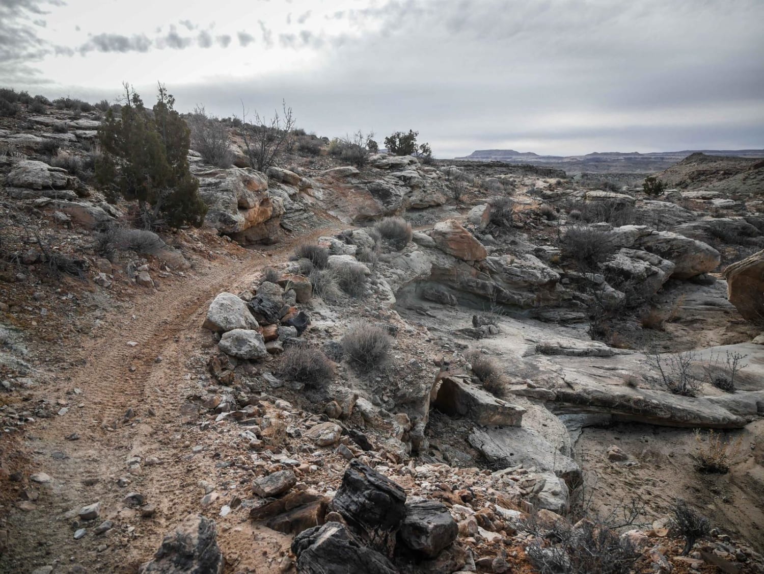
Sovereign (Cedar Mountain)
Total Miles
1.5
Tech Rating
Easy
Best Time
Spring, Winter, Fall
Learn more about Sovereign Connector 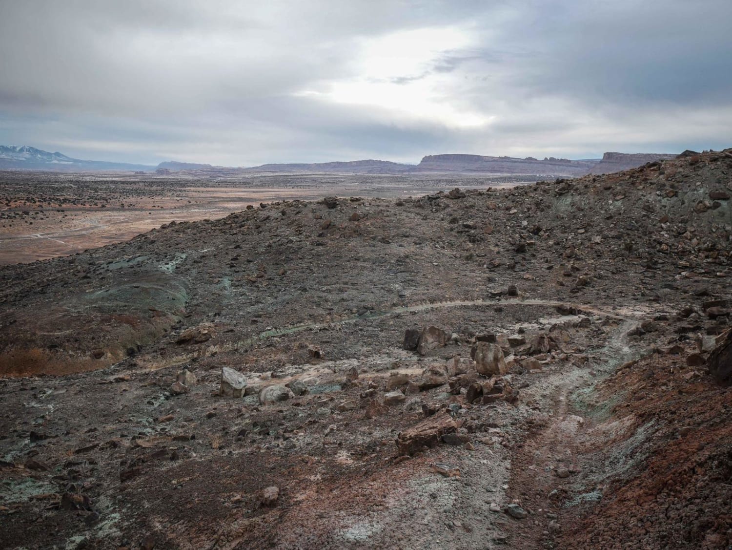
Sovereign Connector
Total Miles
0.6
Tech Rating
Moderate
Best Time
Spring, Winter, Fall
Learn more about Sovereign Single Track 
Sovereign Single Track
Total Miles
2.8
Tech Rating
Moderate
Best Time
Spring, Winter, Fall
Learn more about Sovereign Singletrack
Sovereign Singletrack
Total Miles
17.4
Tech Rating
Difficult
Best Time
Spring, Fall
Learn more about Spiral Jetty Lookout 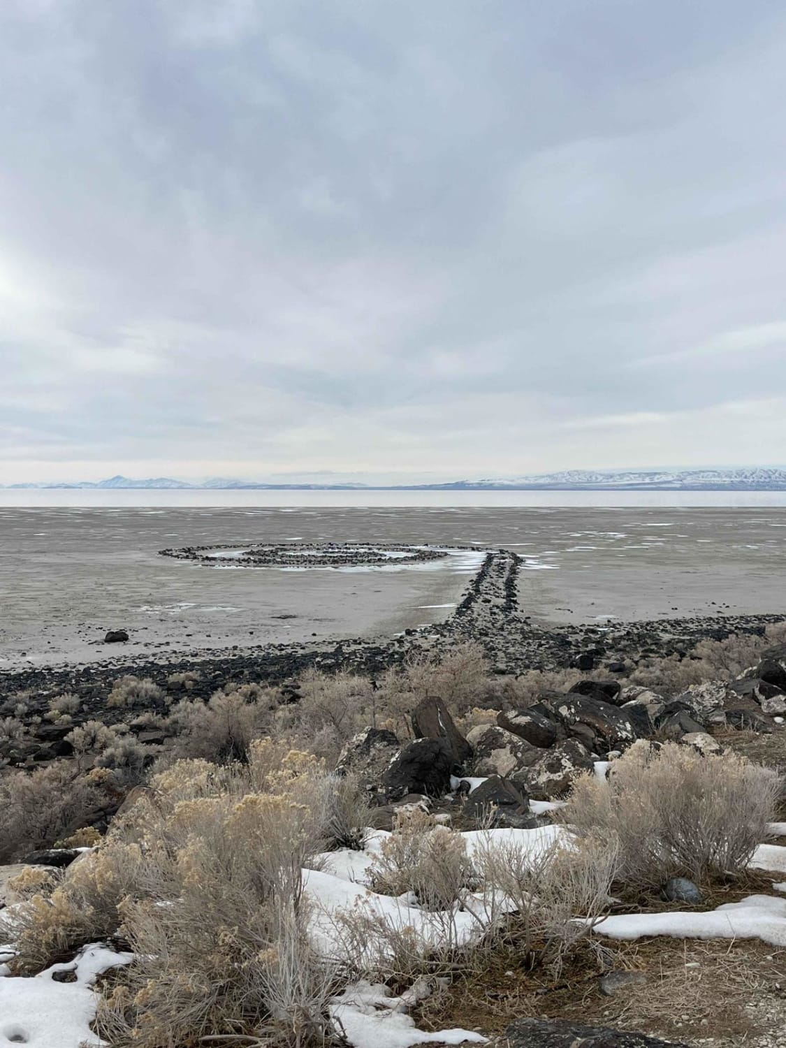
Spiral Jetty Lookout
Total Miles
10.2
Tech Rating
Easy
Best Time
Spring, Summer, Fall, Winter
Learn more about Spring Canyon Bottom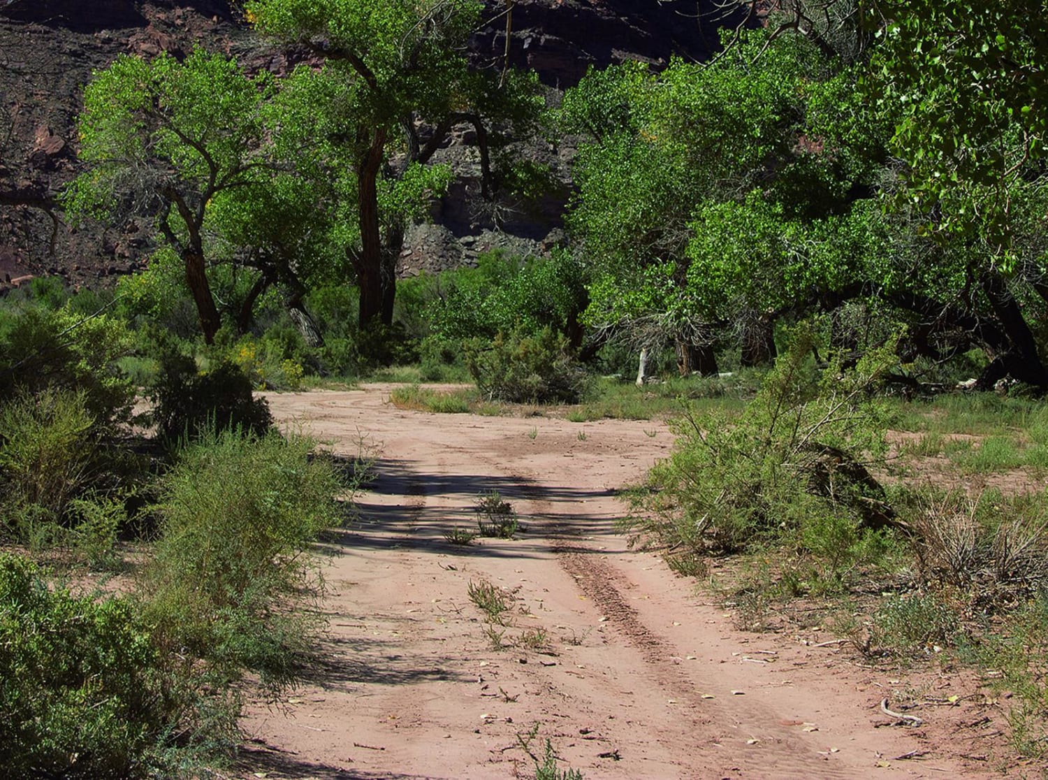
Spring Canyon Bottom
Total Miles
12.2
Tech Rating
Easy
Best Time
Spring, Summer, Fall
Learn more about Spring Canyon Point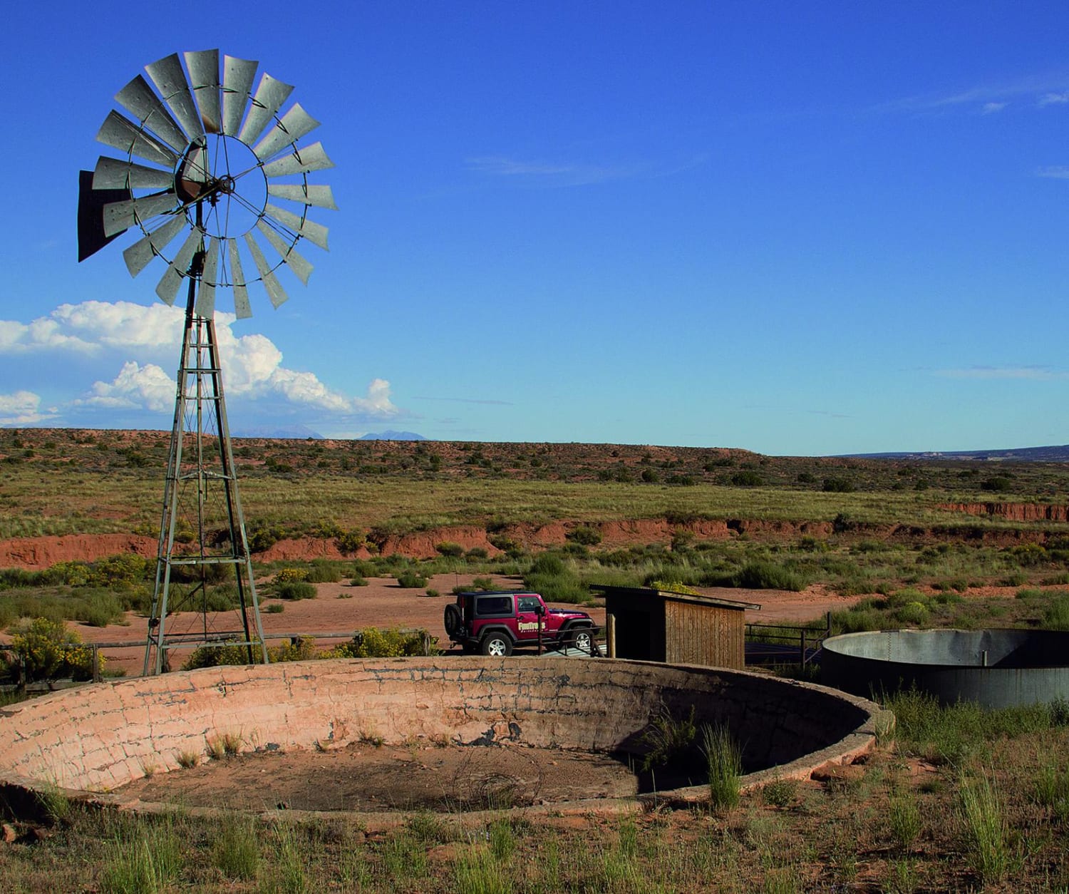
Spring Canyon Point
Total Miles
17.2
Tech Rating
Easy
Best Time
Spring, Summer, Fall
Learn more about Spring Canyon Point - PARTIALLY CLOSED
Spring Canyon Point - PARTIALLY CLOSED
Total Miles
17.3
Tech Rating
Easy
Best Time
Spring, Summer, Fall
Learn more about Spring Canyon Trail
Spring Canyon Trail
Total Miles
2.1
Tech Rating
Easy
Best Time
Spring, Summer, Fall
Learn more about Spring Creek Trail No. 159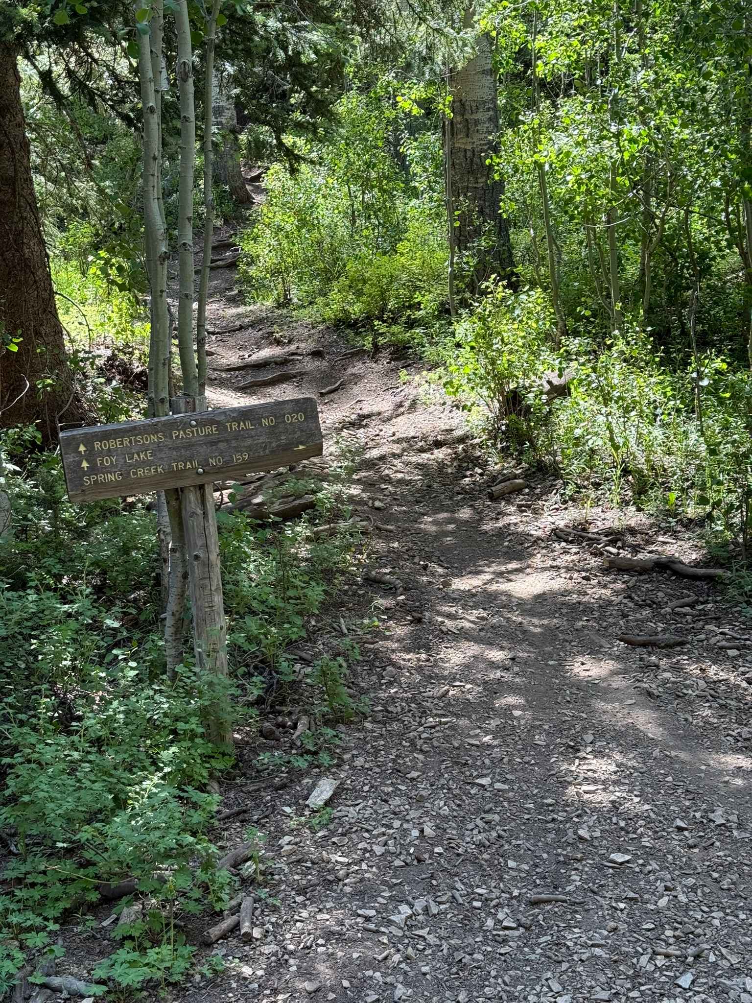
Spring Creek Trail No. 159
Total Miles
2.6
Tech Rating
Moderate
Best Time
Fall, Summer
Learn more about Spring Desert Road - BLM13410
Spring Desert Road - BLM13410
Total Miles
8.6
Tech Rating
Easy
Best Time
Spring, Summer, Fall, Winter
ATV trails in Utah

Learn more about 14 Mile Road
14 Mile Road
Total Miles
14.7
Tech Rating
Easy
Best Time
Spring, Summer, Fall, Winter


UTV/side-by-side trails in Utah
Learn more about 14 Mile Road
14 Mile Road
Total Miles
14.7
Tech Rating
Easy
Best Time
Spring, Summer, Fall, Winter
The onX Offroad Difference
onX Offroad combines trail photos, descriptions, difficulty ratings, width restrictions, seasonality, and more in a user-friendly interface. Available on all devices, with offline access and full compatibility with CarPlay and Android Auto. Discover what you’re missing today!