Sovereign Connector
Total Miles
0.6
Technical Rating
Best Time
Spring, Winter, Fall
Trail Type
Single Track
Accessible By
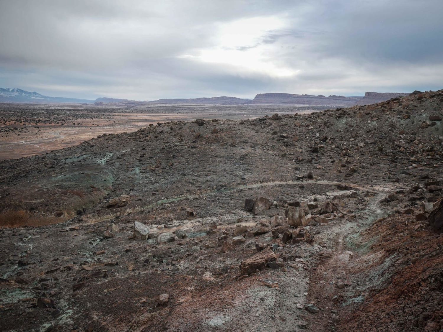
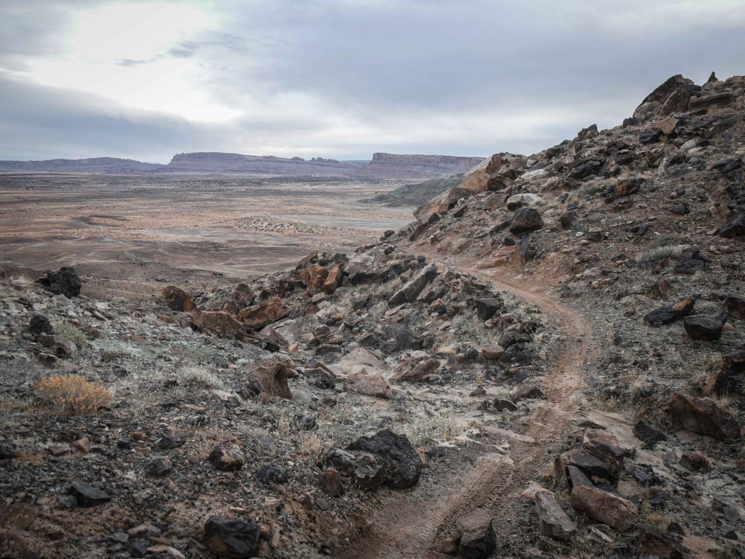
Trail Overview
This is a short segment of single track that connects Cedar Mountain to Terrys by descending 300 feet of elevation off the mesa. It winds down off the mesa with narrow spots on the edge with exposure, small loose rocks, and tight switchbacks. It goes between big boulders and flattens out at the base of the uranium-green hills. It goes up and over a few hills still before connecting to Terrys. This one is intermediate because of the exposure and rocky sections, but doesn't have any huge significant obstacles. It ends on a Jeep road on the east end, which is where Terrys starts, which is a much harder trail.
Photos of Sovereign Connector
Difficulty
This is an intermediate single track with spots of exposure, switchbacks, and rocks, but doesn't have any significant notable obstacles.
Status Reports
Sovereign Connector can be accessed by the following ride types:
- Dirt Bike
Sovereign Connector Map
Popular Trails

Upper Ward Canyon Road

Unforgiven
Browns Hole Road
Green River Rim Trail
The onX Offroad Difference
onX Offroad combines trail photos, descriptions, difficulty ratings, width restrictions, seasonality, and more in a user-friendly interface. Available on all devices, with offline access and full compatibility with CarPlay and Android Auto. Discover what you’re missing today!