Spring Desert Road - BLM13410
Total Miles
8.6
Technical Rating
Best Time
Spring, Summer, Fall, Winter
Trail Type
Full-Width Road
Accessible By
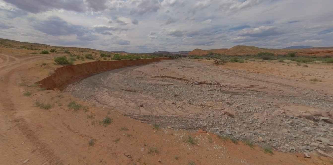
Trail Overview
Spring Desert Road-BLM13410 is an 8.6-mile point-to-point trail rated 3 of 10 located in Garfield County, Utah, just north of the Glen Canyon National Recreational Area. Spring Desert Road is the primary north/south trail that provides access to a series of trails that overlook Powell Lake and the Colorado River. The trail crosses a section of BLM managed land known as the Cane Spring Desert. Spring Desert Road is a single-track trail that starts north of the Bullfrog campgrounds on Highway 276 and connects with Ticaboo Mesa Road. The trail has a gentle rise running south to north while crossing desert scrub. At the southern end, there are several short side trails that cross to the edge of the mesa and provide overlooks of Lake Powell. Once you leave the highway cell phone service is intermittent. There are several fuel stations along Highway 276. The nearest full services are located in Hanksville to the north.
Photos of Spring Desert Road - BLM13410

Difficulty
The trail consists of loose rocks, dirt, and sand with some slickrock surfaces, mud holes possible, and no steps higher than 12 inches. 4WD may be required, and aggressive tires are a plus.
Status Reports
Spring Desert Road - BLM13410 can be accessed by the following ride types:
- High-Clearance 4x4
- SUV
- SxS (60")
- ATV (50")
- Dirt Bike
Spring Desert Road - BLM13410 Map
Popular Trails
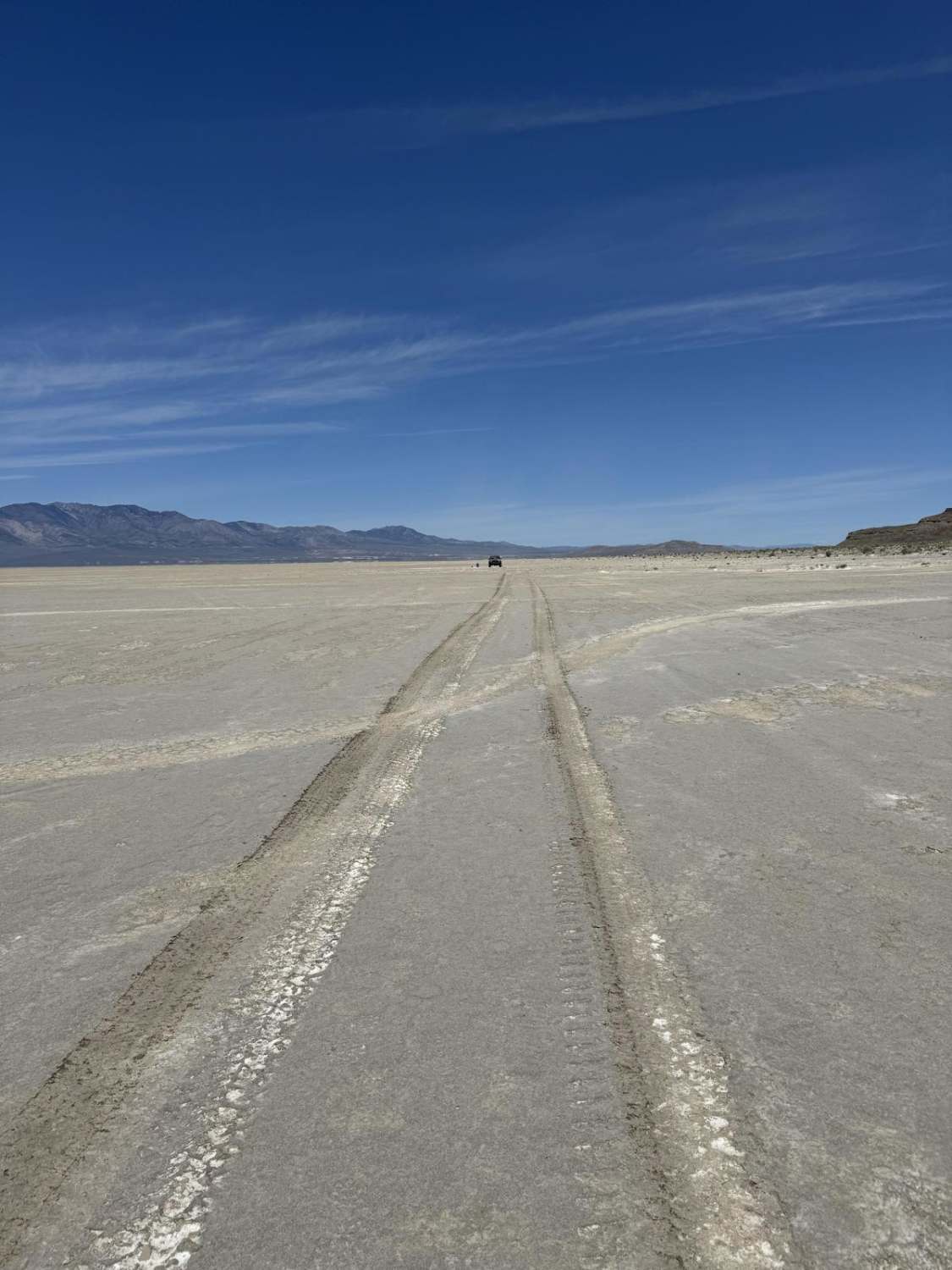
West Crater Island
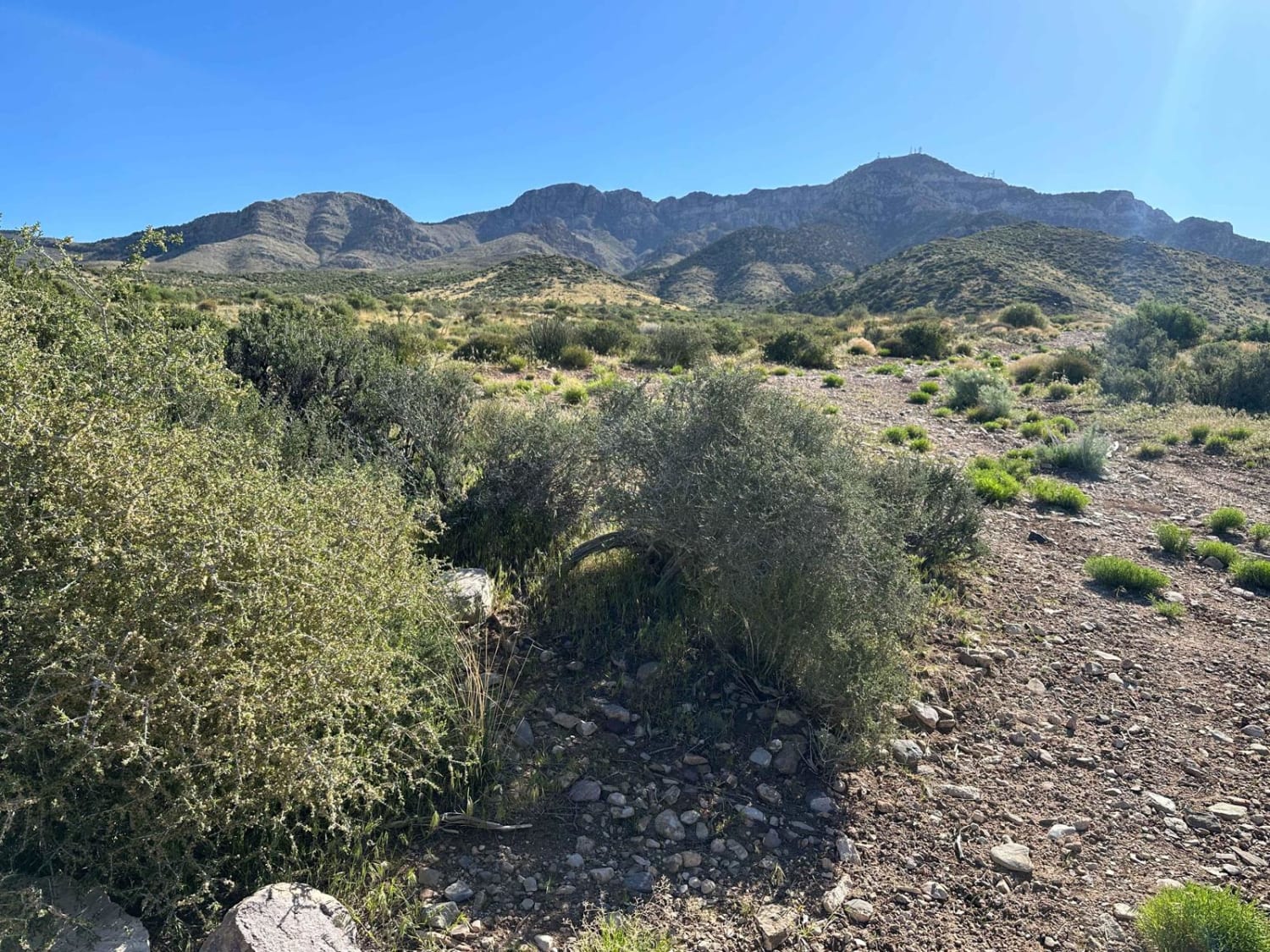
Hells Hole Pass Road
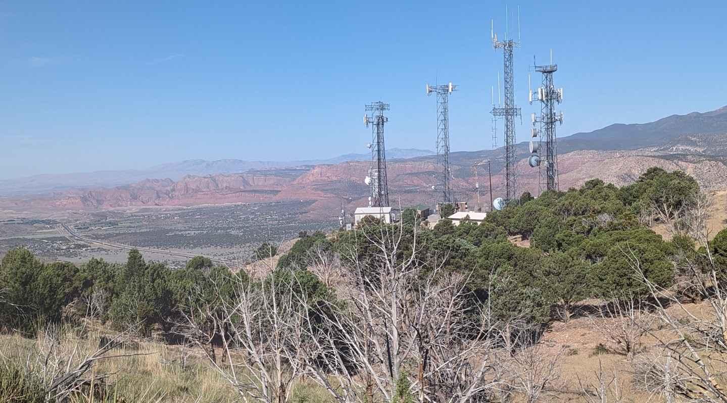
Toquerville Communication Towers Overlook

Lightning Draw Trail
The onX Offroad Difference
onX Offroad combines trail photos, descriptions, difficulty ratings, width restrictions, seasonality, and more in a user-friendly interface. Available on all devices, with offline access and full compatibility with CarPlay and Android Auto. Discover what you’re missing today!