Trail Overview
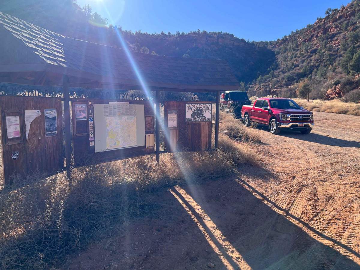
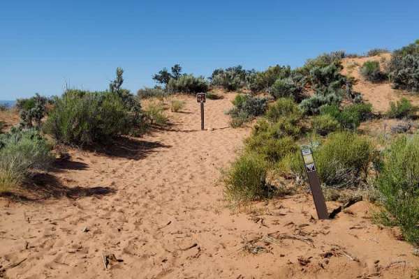
This trail begins at the Hog Canyon (HC) staging area (approximately .7 miles off Highway 89 north of Kanab). HC1 runs east and west and provides a main street for HC trails. This trail has been divided because the eastern portion is significantly more challenging than the western section. The trail is often busy and many riders use excessive speed along this trail so caution is advised. This trail section provides entrances to HC 2, 3, and 4. There are some great views of the surrounding area with overlooks at the southern end of HC 2 and 3. Please Note: HC is a set of defined trails, AKA, a trail park. These defined trails vary in difficulty to provide challenges for all types of vehicles and skill levels. It is also a great area to learn new skills on these trails. HC is NOT an open-riding area. You are expected to stay on the defined trails and under no circumstances create new trails. In addition, please do not build upon someone else's desecration of the area by riding on trails or bypasses that have been created by others. Please obey all BLM-posted signs. OnX asks everyone to support the Tread Lightly principles.
Difficulty
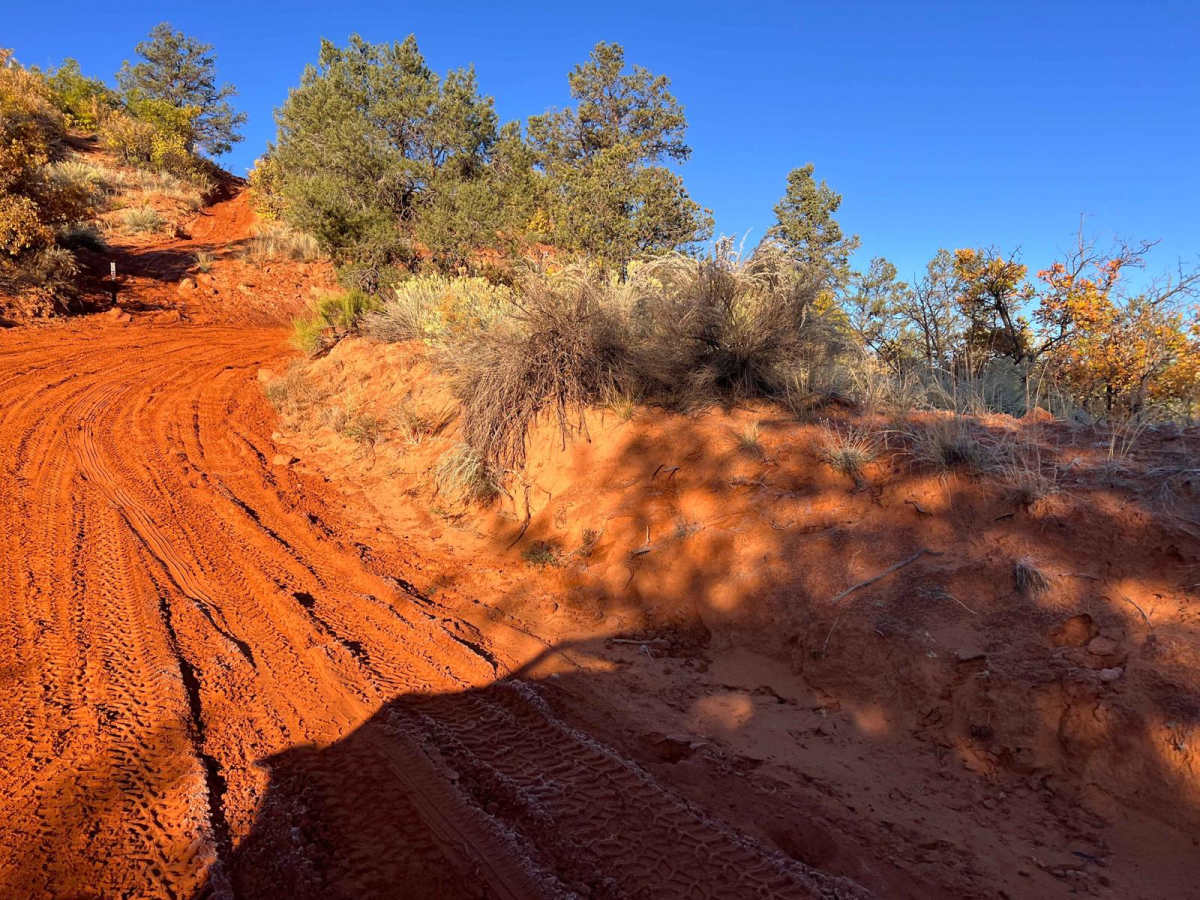
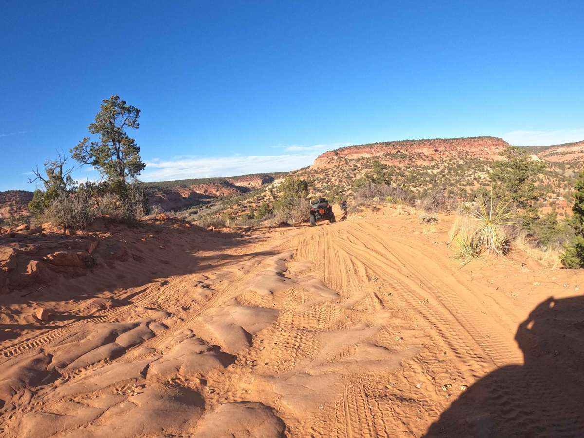
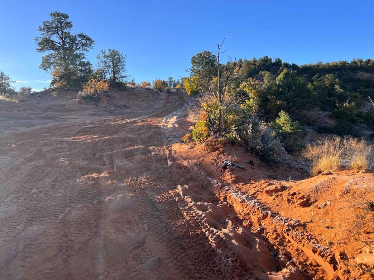
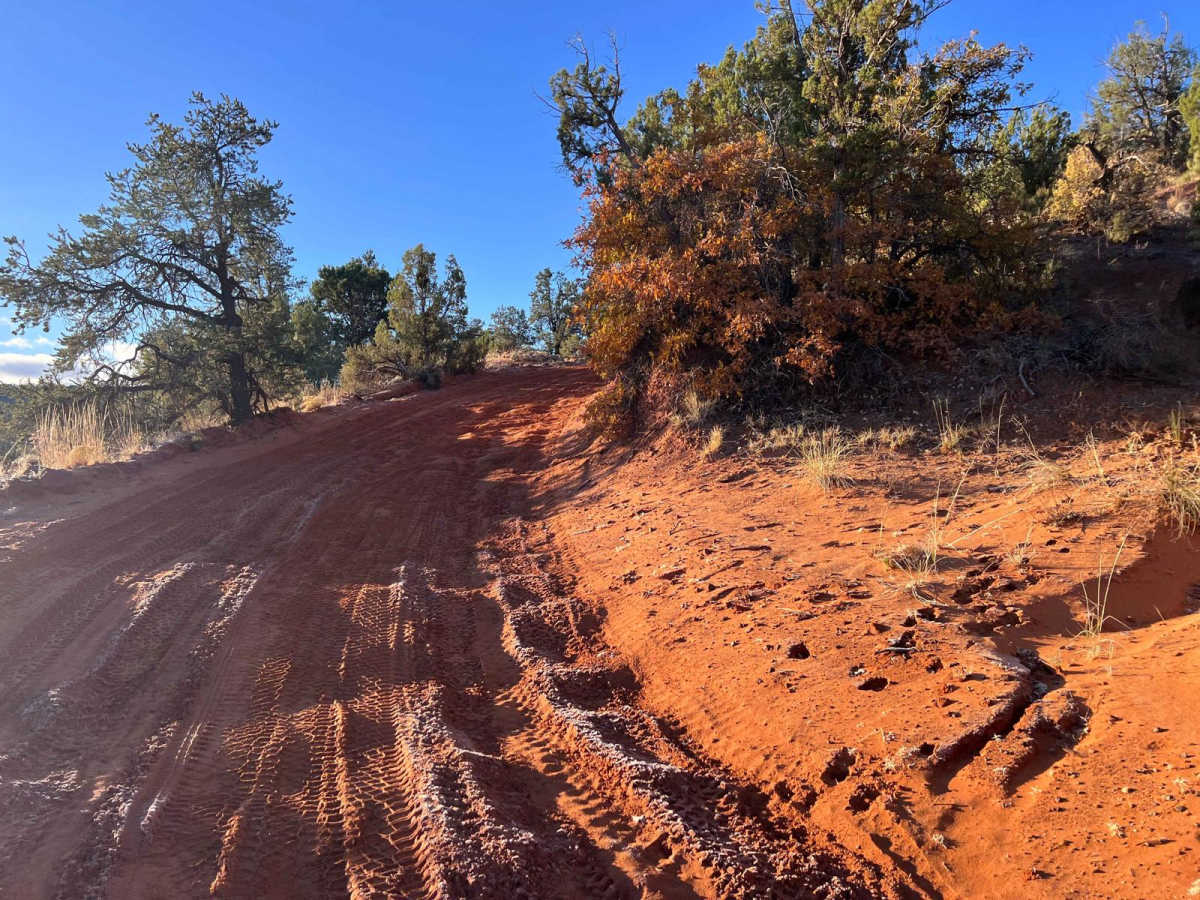
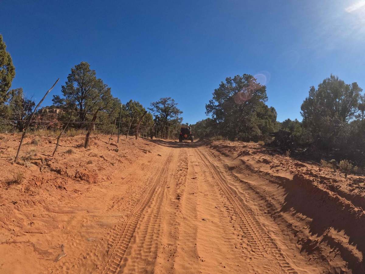
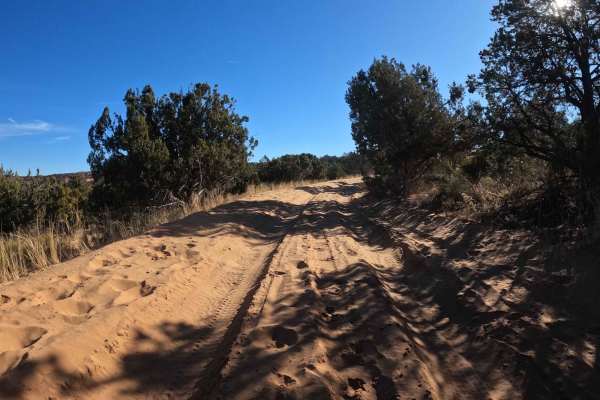
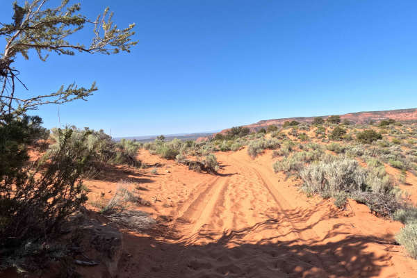
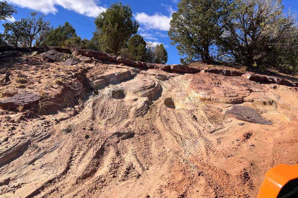
This trail is two vehicles wide to the top of the mesa and then transitions to two-track. This trail is mostly sand with some occasional slick rock areas. Depending upon current conditions the sand in some areas can become deeper and very soft. This may result in some traction issues, especially if your tire pressure is too high. The trail can be ridden by most 4-wheel drive vehicles with adequate ground clearance. It is a climb from the staging area to the top of the mesa. Local maintenance pickups make the climb as needed to complete service for the antennas and other equipment at the end of HC2.