Off-Road Trails in Utah
Discover off-road trails in Utah
Learn more about Spring Hollow Ridge
Spring Hollow Ridge
Total Miles
1.4
Tech Rating
Easy
Best Time
Spring, Summer, Fall

Learn more about Spring Road Loop CR 20035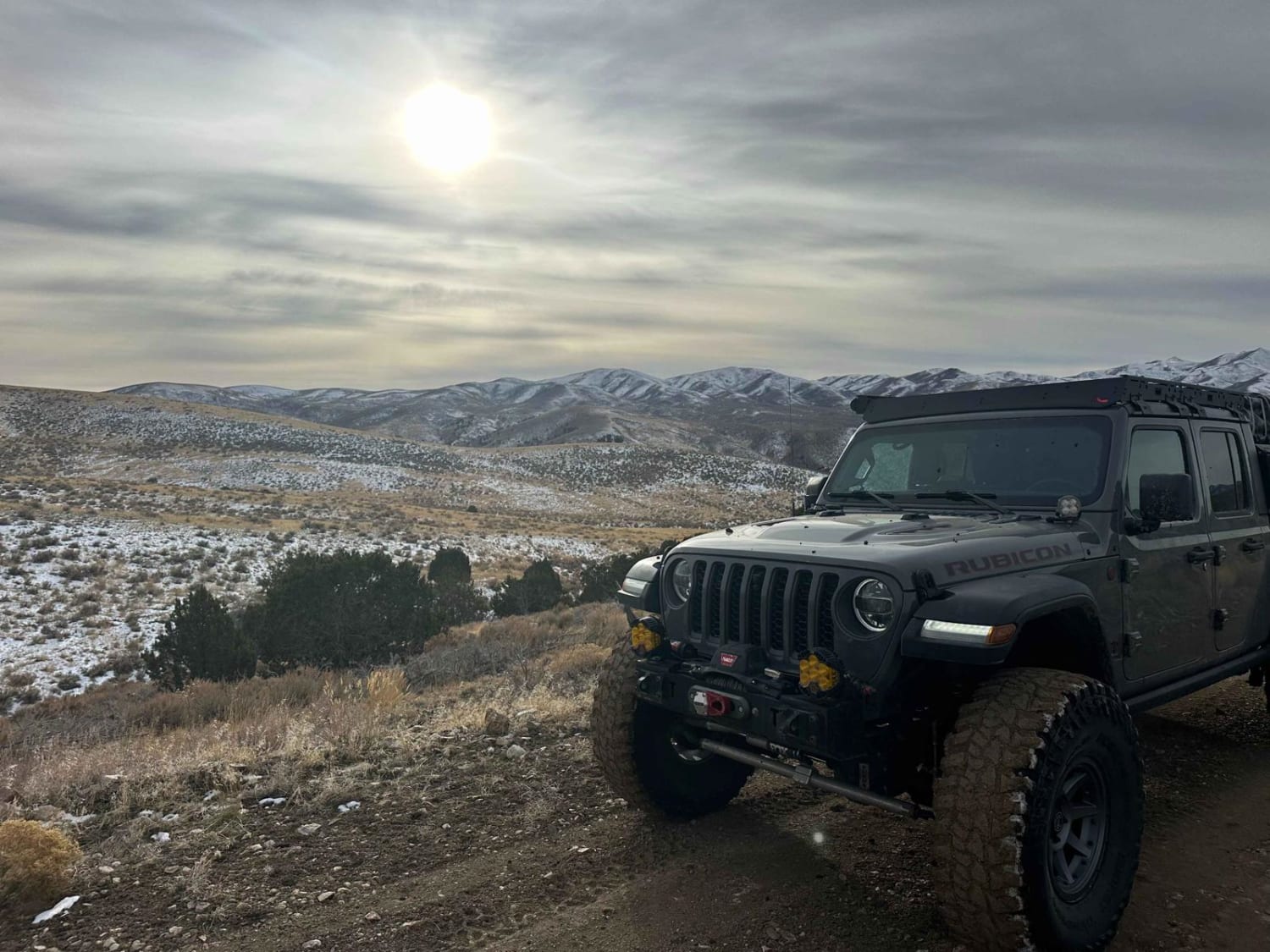
Spring Road Loop CR 20035
Total Miles
4.5
Tech Rating
Easy
Best Time
Spring, Summer, Fall, Winter
Learn more about Springs Kiln Loop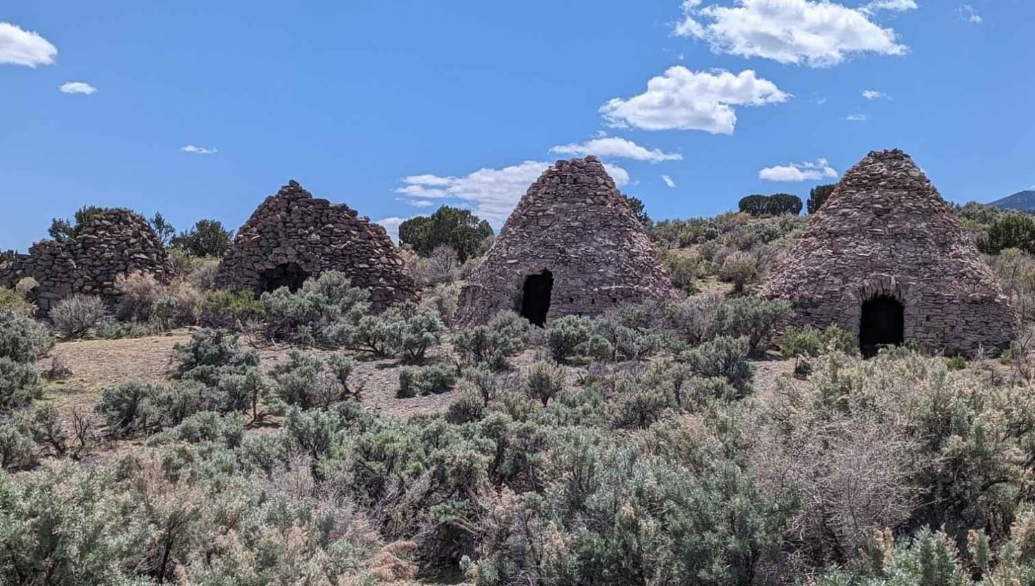
Springs Kiln Loop
Total Miles
6.1
Tech Rating
Moderate
Best Time
Spring, Summer, Fall, Winter
Learn more about Springs Road Fence Line Trail
Springs Road Fence Line Trail
Total Miles
4.0
Tech Rating
Easy
Best Time
Winter, Fall, Summer
Learn more about Spry Cemetery - FS 2100, 2750, 2800
Spry Cemetery - FS 2100, 2750, 2800
Total Miles
11.8
Tech Rating
Easy
Best Time
Summer, Fall, Spring, Winter
Learn more about Sqauw Park
Sqauw Park
Total Miles
1.6
Tech Rating
Easy
Best Time
Spring, Summer, Winter, Fall
Learn more about Square Horse Connect
Square Horse Connect
Total Miles
3.6
Tech Rating
Easy
Best Time
Summer, Fall

Learn more about Squidike Road
Squidike Road
Total Miles
10.1
Tech Rating
Easy
Best Time
Spring, Summer, Fall, Winter
Learn more about Staircase Bypass and Overlook (Hell's Revenge)
Staircase Bypass and Overlook (Hell's Revenge)
Total Miles
0.5
Tech Rating
Moderate
Best Time
Spring, Summer, Fall, Winter
Learn more about Stansbury Front
Stansbury Front
Total Miles
21.1
Tech Rating
Moderate
Best Time
Summer, Fall
Learn more about Stansbury Gulch A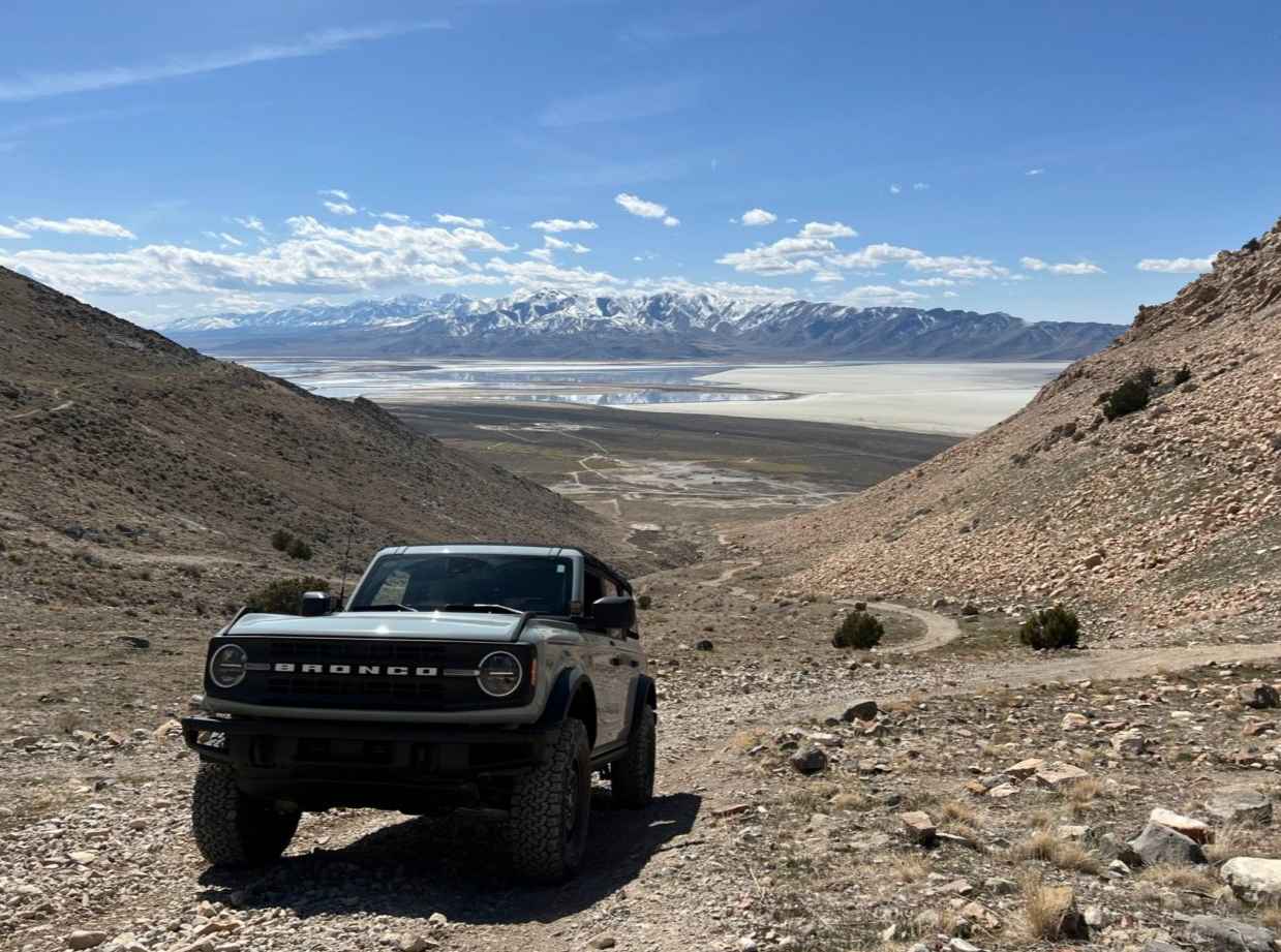
Stansbury Gulch A
Total Miles
0.6
Tech Rating
Moderate
Best Time
Spring, Summer, Fall
Learn more about Stansbury Hike Trailhead
Stansbury Hike Trailhead
Total Miles
0.2
Tech Rating
Easy
Best Time
Fall, Summer, Spring
Learn more about Starvation Road - FS0009
Starvation Road - FS0009
Total Miles
10.7
Tech Rating
Easy
Best Time
Spring, Summer, Fall
Learn more about Steed Canyon Overlook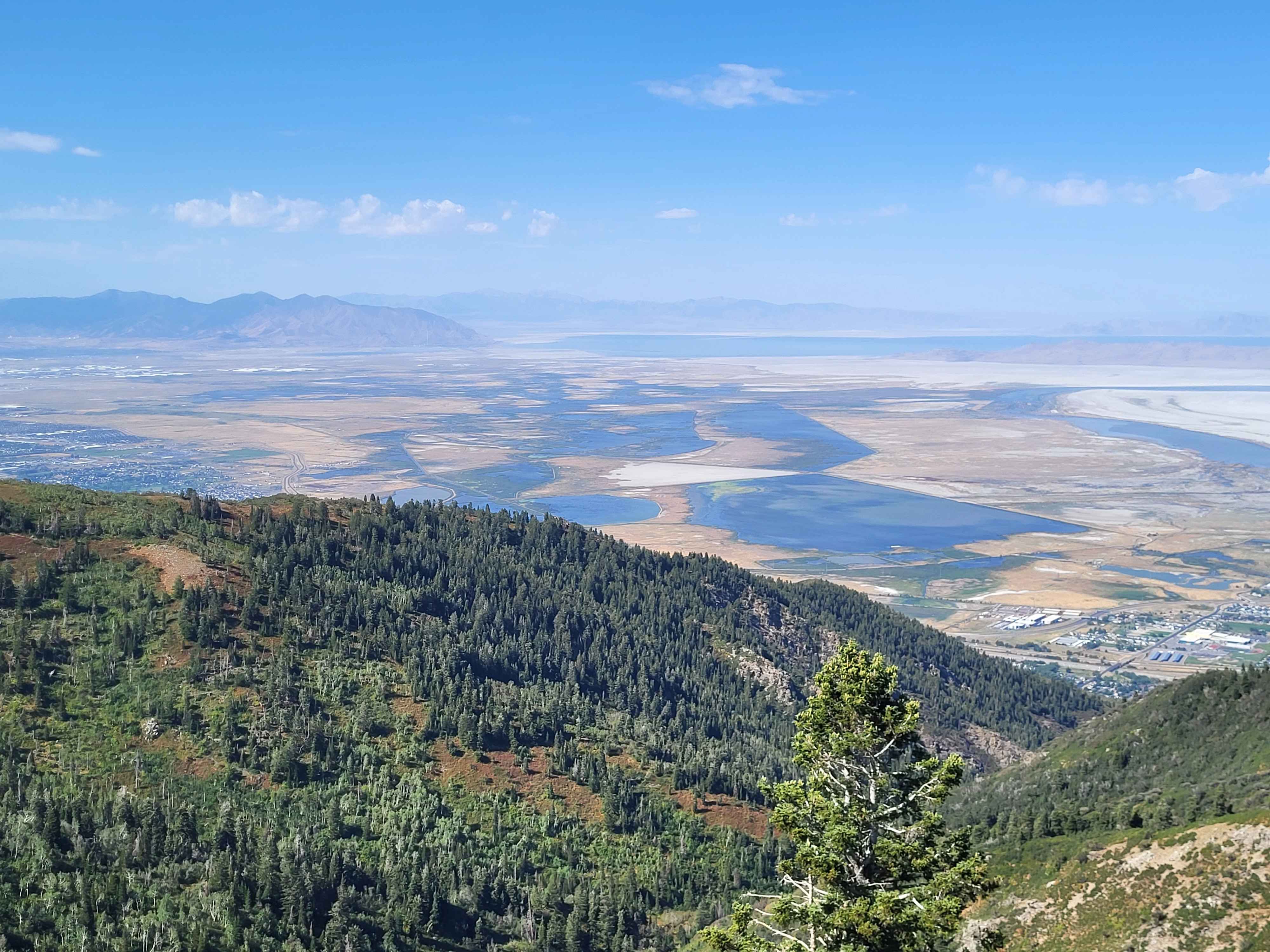
Steed Canyon Overlook
Total Miles
1.3
Tech Rating
Moderate
Best Time
Summer, Fall
Learn more about Steel Bender Flat Pass Route
Steel Bender Flat Pass Route
Total Miles
5.0
Tech Rating
Difficult
Best Time
Spring, Summer, Fall
Learn more about Steel Bender Loop Route
Steel Bender Loop Route
Total Miles
12.1
Tech Rating
Difficult
Best Time
Spring, Summer, Fall
Learn more about Steel Bender Petroglpyhs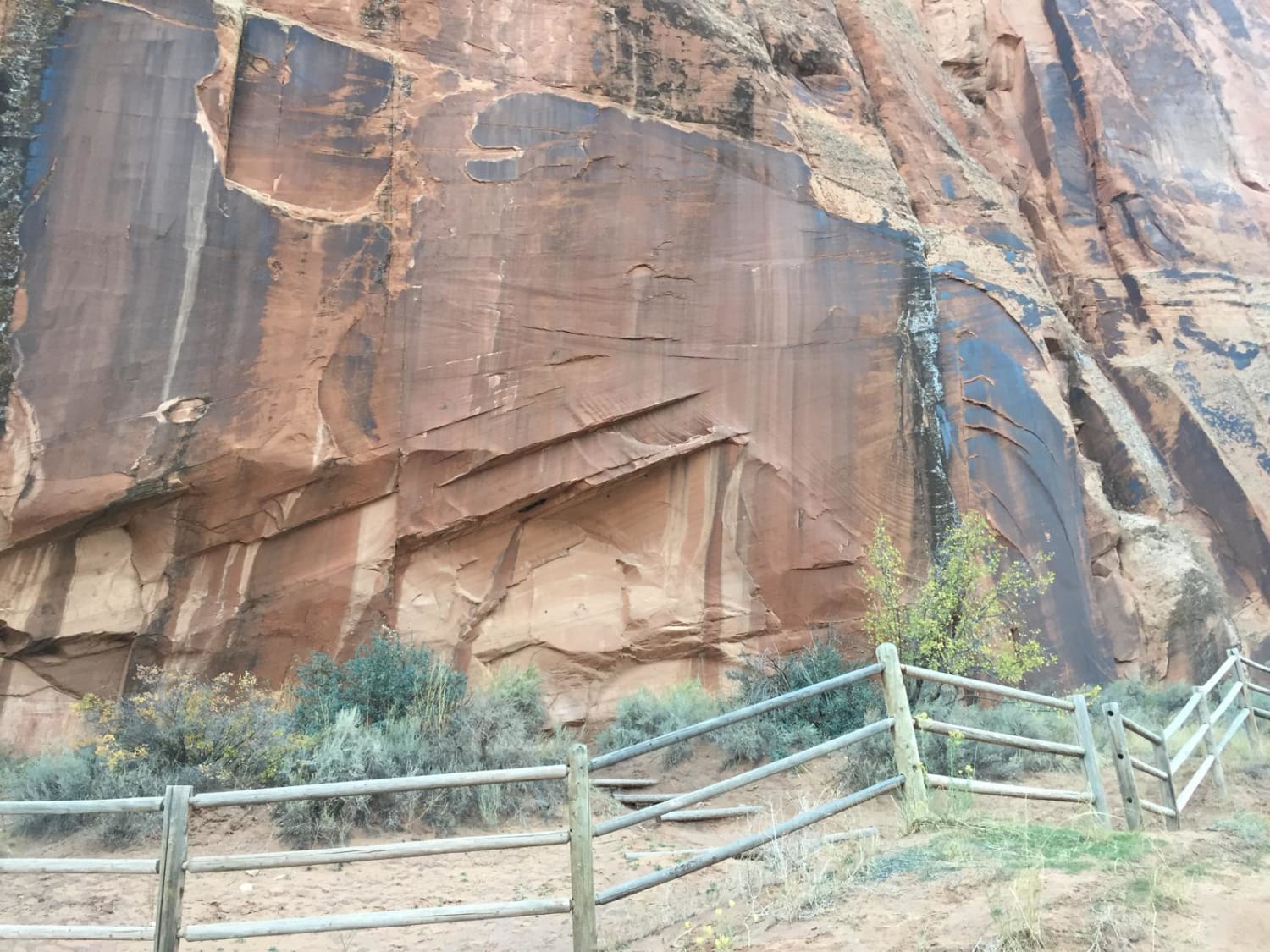
Steel Bender Petroglpyhs
Total Miles
3.2
Tech Rating
Easy
Best Time
Summer, Fall
ATV trails in Utah

Learn more about 14 Mile Road
14 Mile Road
Total Miles
14.7
Tech Rating
Easy
Best Time
Spring, Summer, Fall, Winter


UTV/side-by-side trails in Utah
Learn more about 14 Mile Road
14 Mile Road
Total Miles
14.7
Tech Rating
Easy
Best Time
Spring, Summer, Fall, Winter
The onX Offroad Difference
onX Offroad combines trail photos, descriptions, difficulty ratings, width restrictions, seasonality, and more in a user-friendly interface. Available on all devices, with offline access and full compatibility with CarPlay and Android Auto. Discover what you’re missing today!