Off-Road Trails in Utah
Discover off-road trails in Utah
Learn more about Strawberry Ridge - FR 70135
Strawberry Ridge - FR 70135
Total Miles
13.4
Tech Rating
Easy
Best Time
Summer, Fall
Learn more about Strawberry Ridge - FS 70518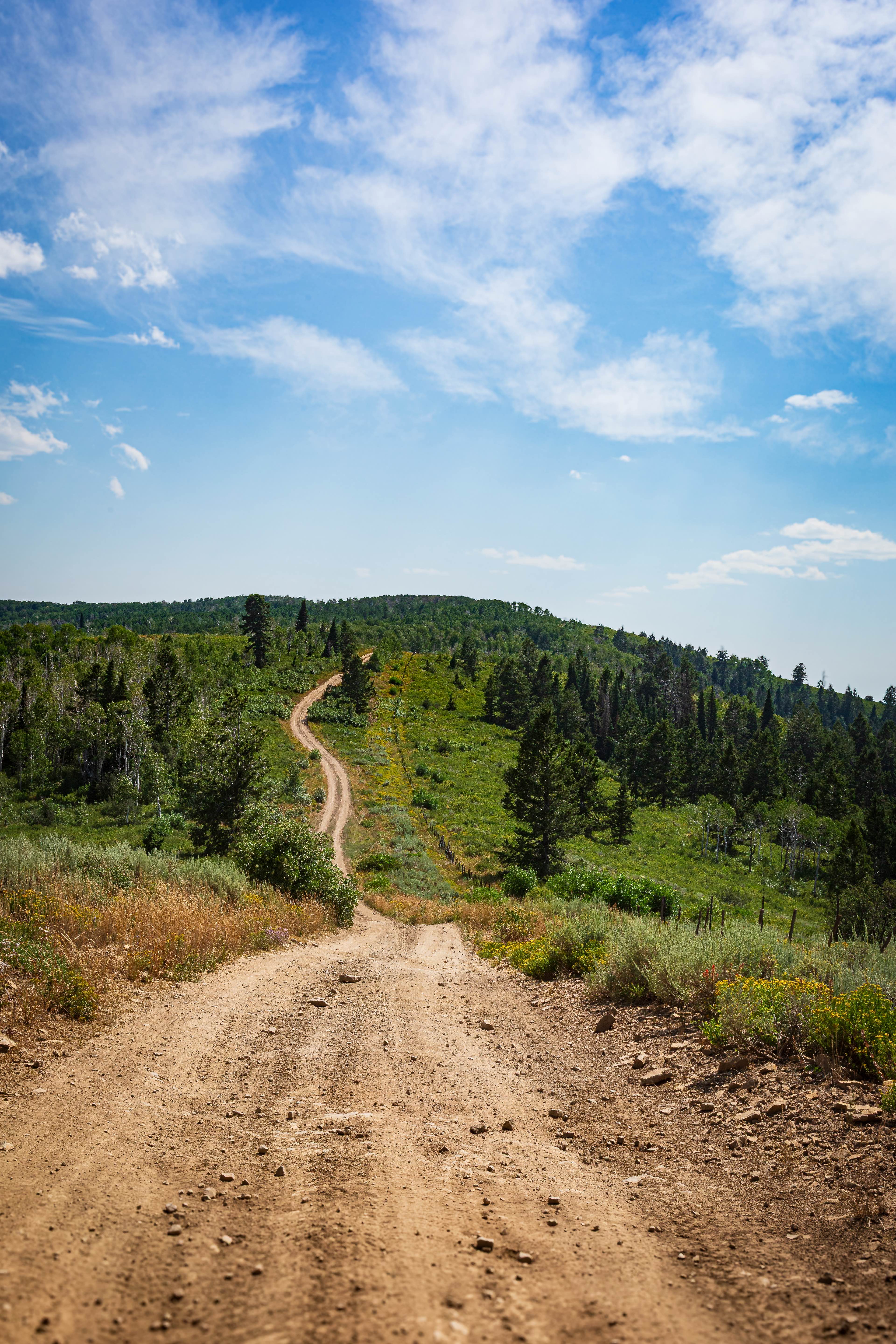
Strawberry Ridge - FS 70518
Total Miles
6.0
Tech Rating
Easy
Best Time
Summer, Fall
Learn more about Strawberry River Road
Strawberry River Road
Total Miles
6.0
Tech Rating
Easy
Best Time
Fall
Learn more about Strike Ravine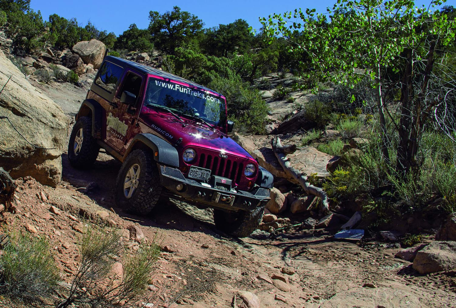
Strike Ravine
Total Miles
8.9
Tech Rating
Moderate
Best Time
Spring, Summer, Fall
Learn more about Sugar Loaf Mountain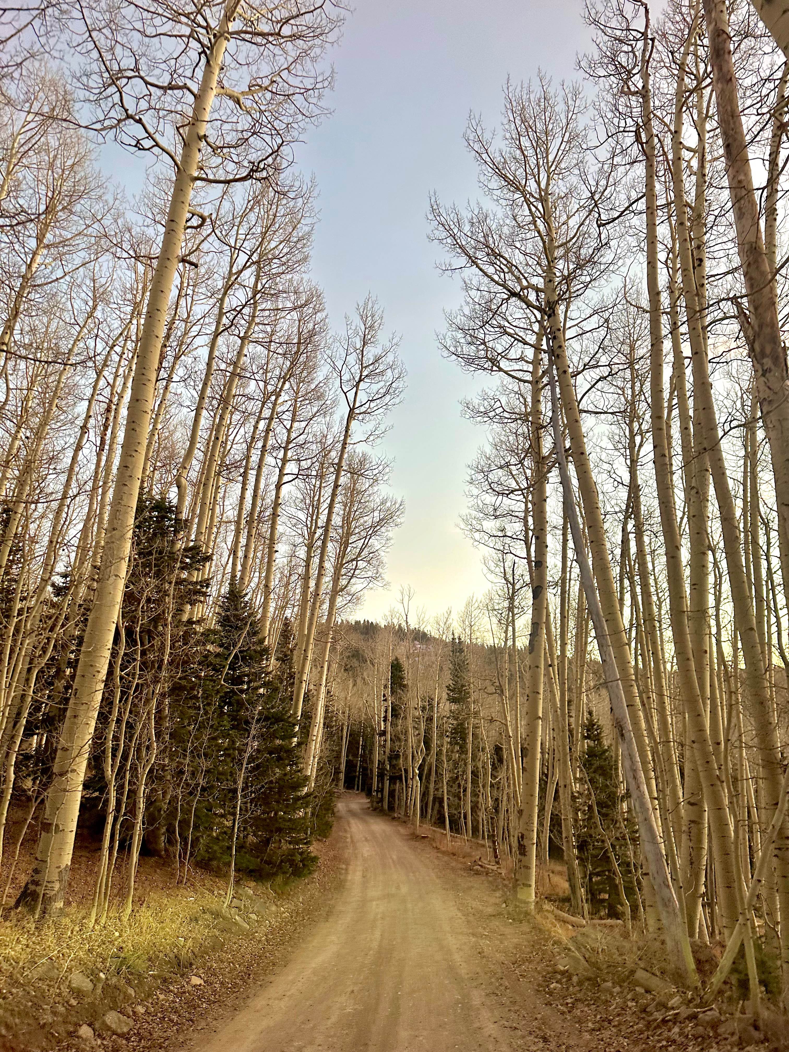
Sugar Loaf Mountain
Total Miles
3.7
Tech Rating
Easy
Best Time
Spring, Summer, Fall
Learn more about Sulphur Canyon Overlook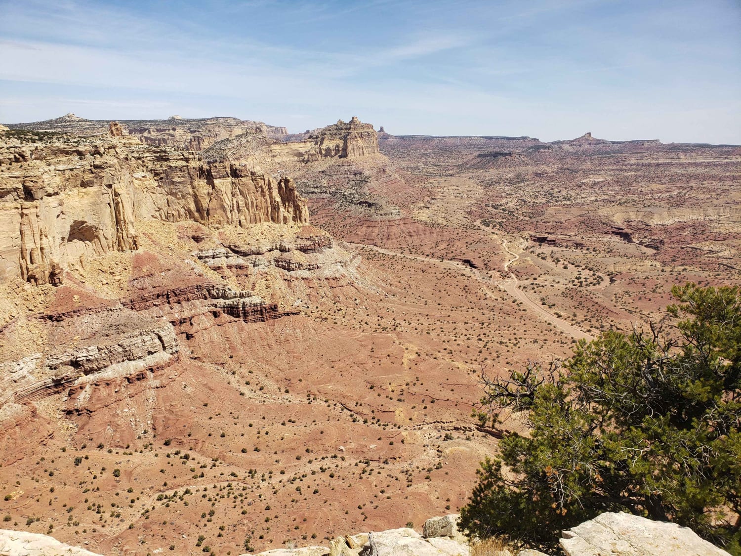
Sulphur Canyon Overlook
Total Miles
6.0
Tech Rating
Moderate
Best Time
Spring, Summer, Fall, Winter
Learn more about Summerville Access Trail 
Summerville Access Trail
Total Miles
3.4
Tech Rating
Moderate
Best Time
Spring, Fall, Winter
Learn more about Summerville ATV 
Summerville ATV
Total Miles
3.0
Tech Rating
Easy
Best Time
Spring, Fall, Winter
Learn more about Summerville Connector
Summerville Connector
Total Miles
2.6
Tech Rating
Easy
Best Time
Spring, Fall, Winter
Learn more about Summerville Cutoff
Summerville Cutoff
Total Miles
1.2
Tech Rating
Moderate
Best Time
Spring, Fall, Winter
Learn more about Summerville Singletrack 
Summerville Singletrack
Total Miles
5.1
Tech Rating
Easy
Best Time
Spring, Fall, Winter
Learn more about Sunshine Canyon Trail
Sunshine Canyon Trail
Total Miles
2.4
Tech Rating
Easy
Best Time
Summer, Fall
Learn more about Swallow Park/North Swap Road
Swallow Park/North Swap Road
Total Miles
5.1
Tech Rating
Easy
Best Time
Spring, Summer, Fall
Learn more about Swasey Cabin
Swasey Cabin
Total Miles
24.8
Tech Rating
Moderate
Best Time
Spring, Summer, Fall
Learn more about Swasey Wash Road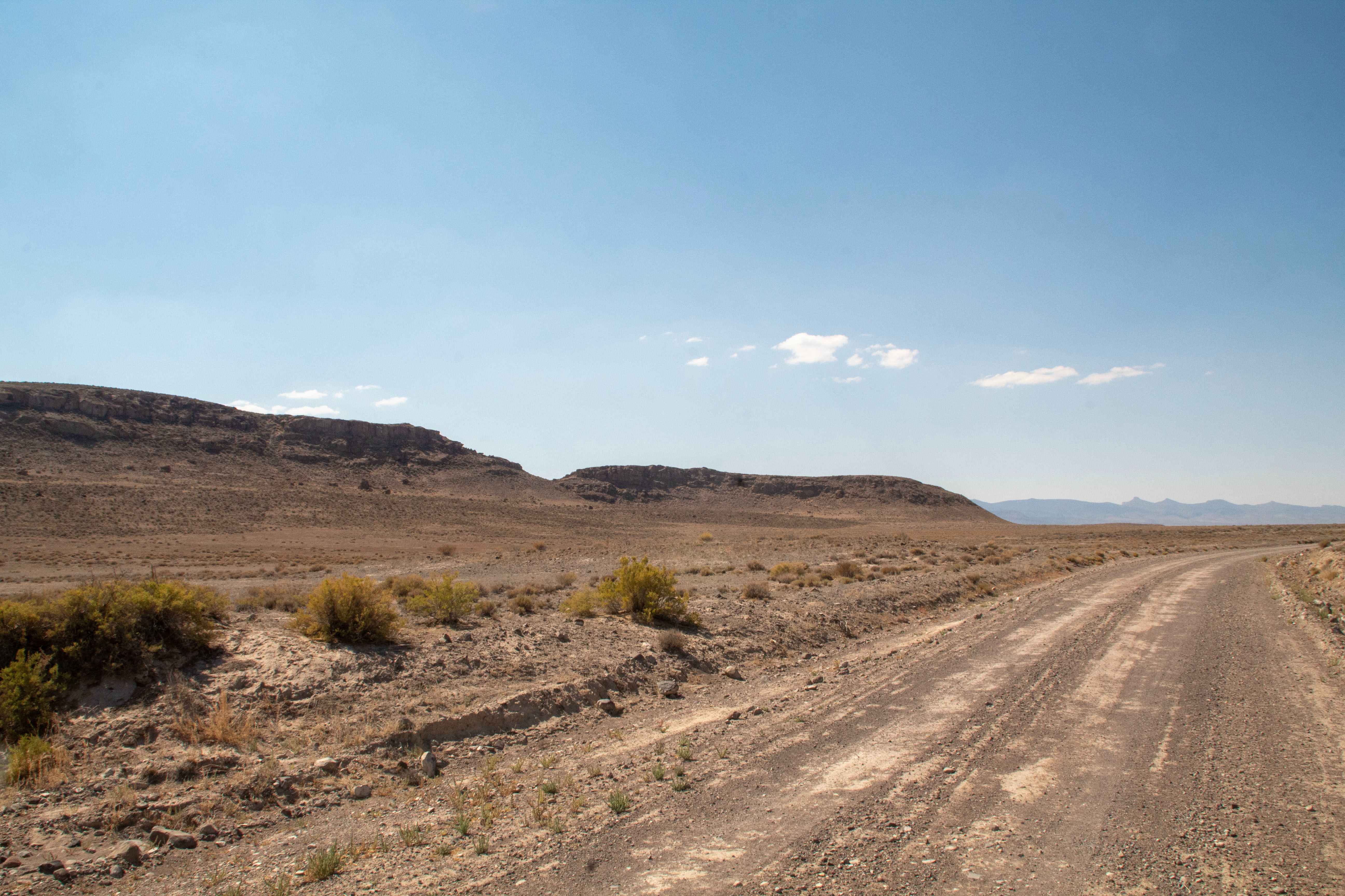
Swasey Wash Road
Total Miles
11.7
Tech Rating
Easy
Best Time
Spring, Summer, Fall, Winter
Learn more about Swasey's Cabin - Rod's Valley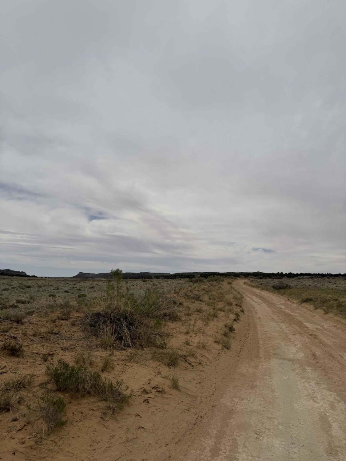
Swasey's Cabin - Rod's Valley
Total Miles
2.4
Tech Rating
Easy
Best Time
Spring, Summer, Fall, Winter
Learn more about Swazys Leap Loop
Swazys Leap Loop
Total Miles
7.0
Tech Rating
Easy
Best Time
Spring, Summer, Fall, Winter
Learn more about Sweetwater-NFS30494
Sweetwater-NFS30494
Total Miles
2.9
Tech Rating
Easy
Best Time
Spring, Summer
ATV trails in Utah

Learn more about 14 Mile Road
14 Mile Road
Total Miles
14.7
Tech Rating
Easy
Best Time
Spring, Summer, Fall, Winter


UTV/side-by-side trails in Utah
Learn more about 14 Mile Road
14 Mile Road
Total Miles
14.7
Tech Rating
Easy
Best Time
Spring, Summer, Fall, Winter
The onX Offroad Difference
onX Offroad combines trail photos, descriptions, difficulty ratings, width restrictions, seasonality, and more in a user-friendly interface. Available on all devices, with offline access and full compatibility with CarPlay and Android Auto. Discover what you’re missing today!