Summerville Access Trail
Total Miles
3.4
Technical Rating
Best Time
Spring, Fall, Winter
Trail Type
Single Track
Accessible By
Trail Overview
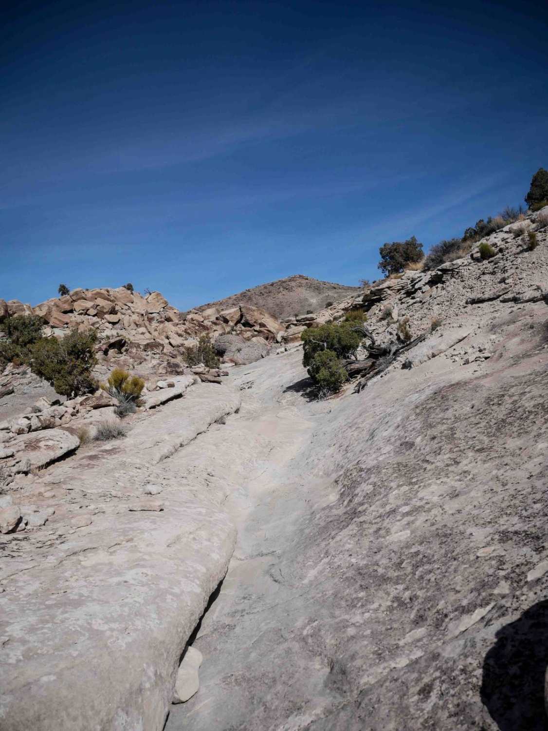
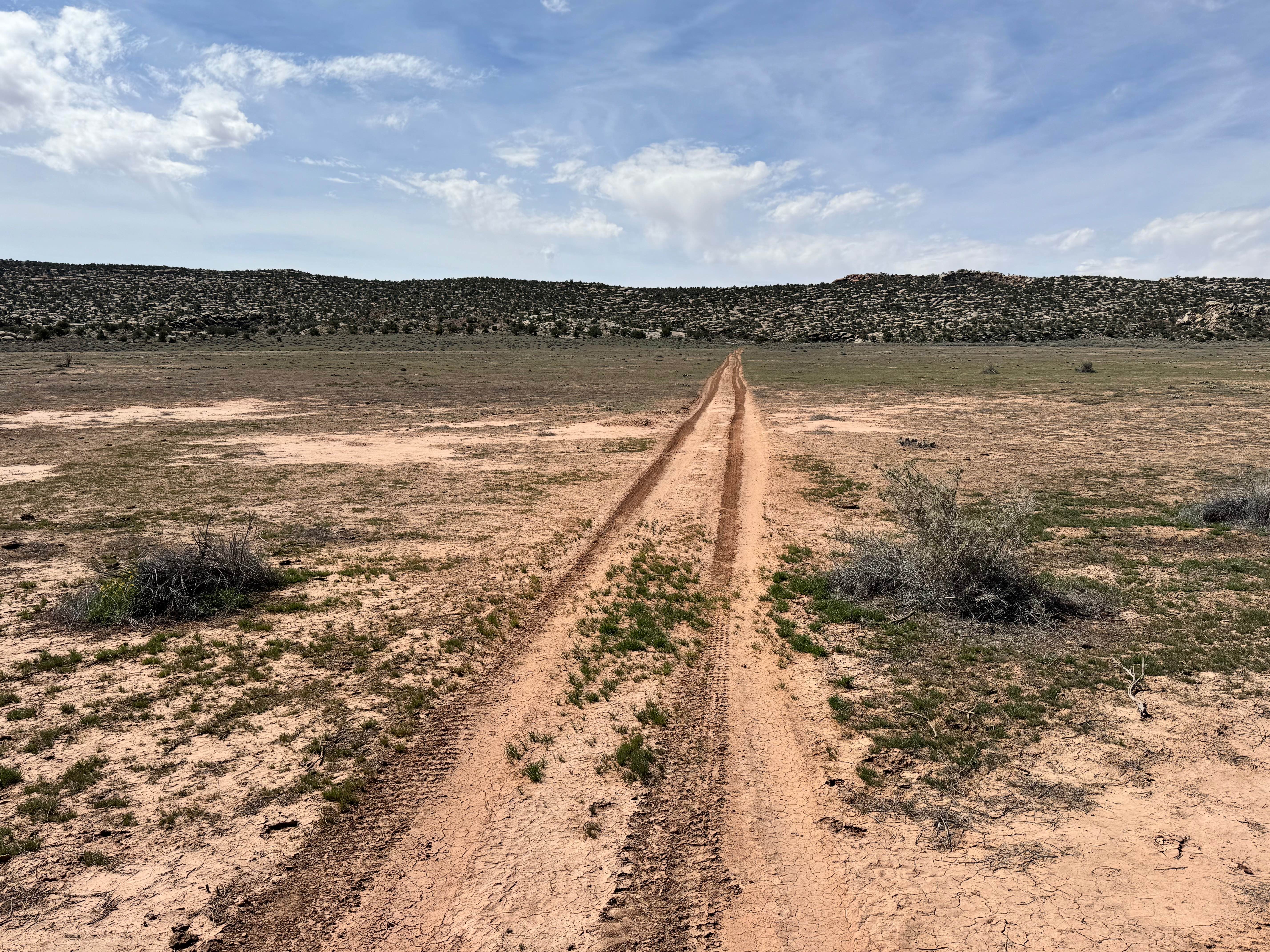
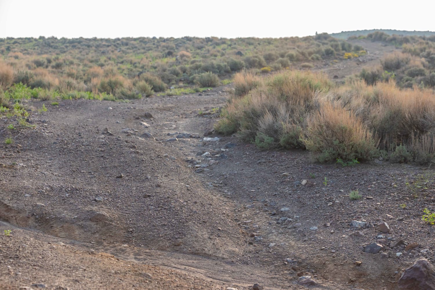
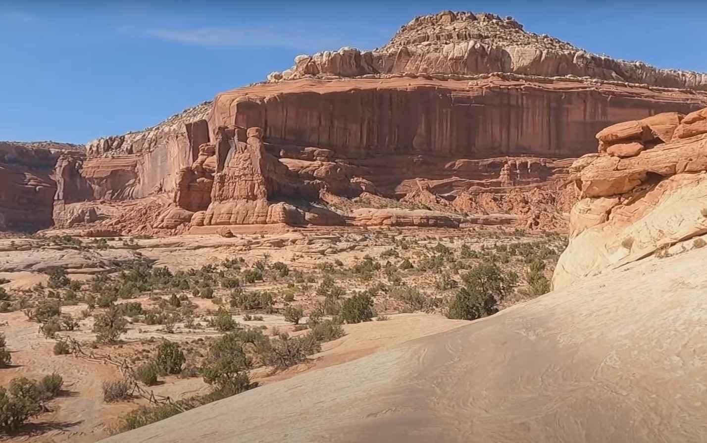
The west end of this trail starts from the Summerville Wash, and it heads east for 3 miles. The beginning is fast, going through the desert valley floor, dipping into ravines, and rolling over small desert hills. Then, it goes over slick rock, long flat slab sections, and ramped slick rock surfaces. There are orange or white paint markings and rock cairns to help follow the route. There are several intermediate rock ledge obstacles, such as blunt rock ledges over a foot tall, plus a steep hill climb with a rock ledge at the top. Next to giant boulders, the trail becomes sandy and easy on the east end. This trail starts at the staging area, so it's likely a popular route to start your ride.
Photos of Summerville Access Trail

Difficulty
This trail has moderate rock obstacles such as a blunt rock ledges, and steeper hill climbs, sometimes with a rock ledge at the top.
Status Reports
Summerville Access Trail can be accessed by the following ride types:
- Dirt Bike
Summerville Access Trail Map
Popular Trails
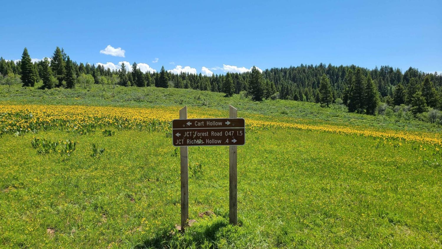
Cart Hollow
Long Valley Road
Rock Garden
Sevenmile Rim
The onX Offroad Difference
onX Offroad combines trail photos, descriptions, difficulty ratings, width restrictions, seasonality, and more in a user-friendly interface. Available on all devices, with offline access and full compatibility with CarPlay and Android Auto. Discover what you’re missing today!