Fallen Peace Officer Trail
Total Miles
9.9
Technical Rating
Best Time
Spring, Summer, Fall
Trail Type
Accessible By
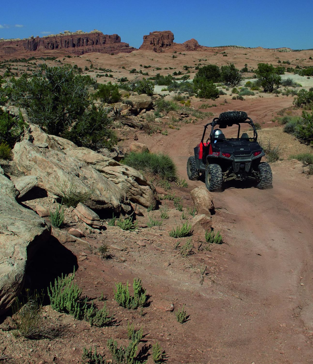
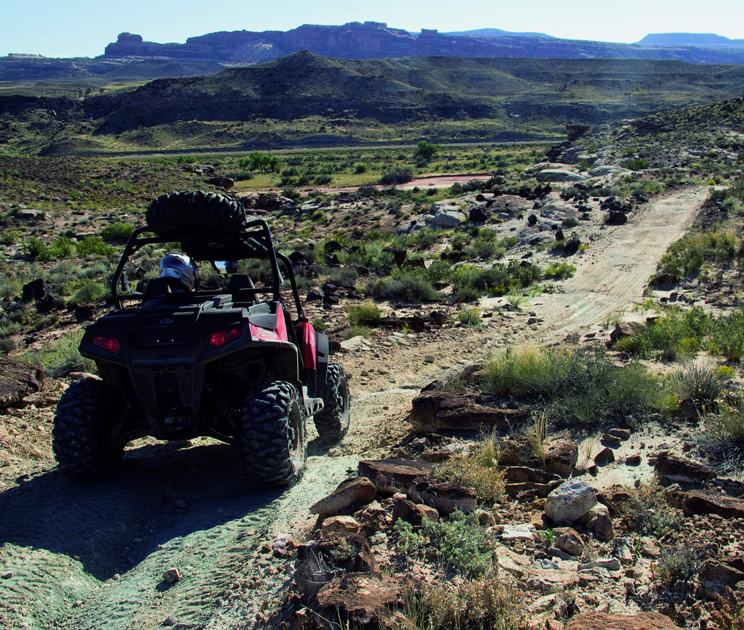
Trail Overview
This trail sits between Hwy 191 and Arches National Park. It is a rocky loop that meanders up to a high ridge providing great views across an expansive valley. Sevenmile Rim, Monitor and Merrimac Buttes can all be seen, as well as Tower Arch. Be sure to stay on the designated route and be careful not to cross over the boundary into Arches National Park.
Photos of Fallen Peace Officer Trail
Difficulty
Moderate. No major obstacles, but narrow, rough and rocky in parts. We hit one bad washed-out spot at 0.6 mile that gave our smaller-tired UTV a workout. Our Jeep, with 35" tires, would have had no problems. Not recommended for wider or newer SUVs.
History
The idea for this trail was a direct result of the shooting of Utah State Parks Officer Brody Young in 2010. He survived multiple gunshots while conducting a traffic stop at a Moab trailhead. The trail honors him and all Utah fallen peace officers who died or were seriously injured in the line of duty. Contributions go to the officer's families. Source: Memorial plaque at the trailhead.
Status Reports
Fallen Peace Officer Trail can be accessed by the following ride types:
Fallen Peace Officer Trail Map
Popular Trails


Judd Hollow Spring

Joe Hole Wash

Duma Mine Cutoff
The onX Offroad Difference
onX Offroad combines trail photos, descriptions, difficulty ratings, width restrictions, seasonality, and more in a user-friendly interface. Available on all devices, with offline access and full compatibility with CarPlay and Android Auto. Discover what you’re missing today!