511
Total Miles
2.5
Technical Rating
Best Time
Spring, Summer, Fall, Winter
Trail Type
Single Track
Accessible By
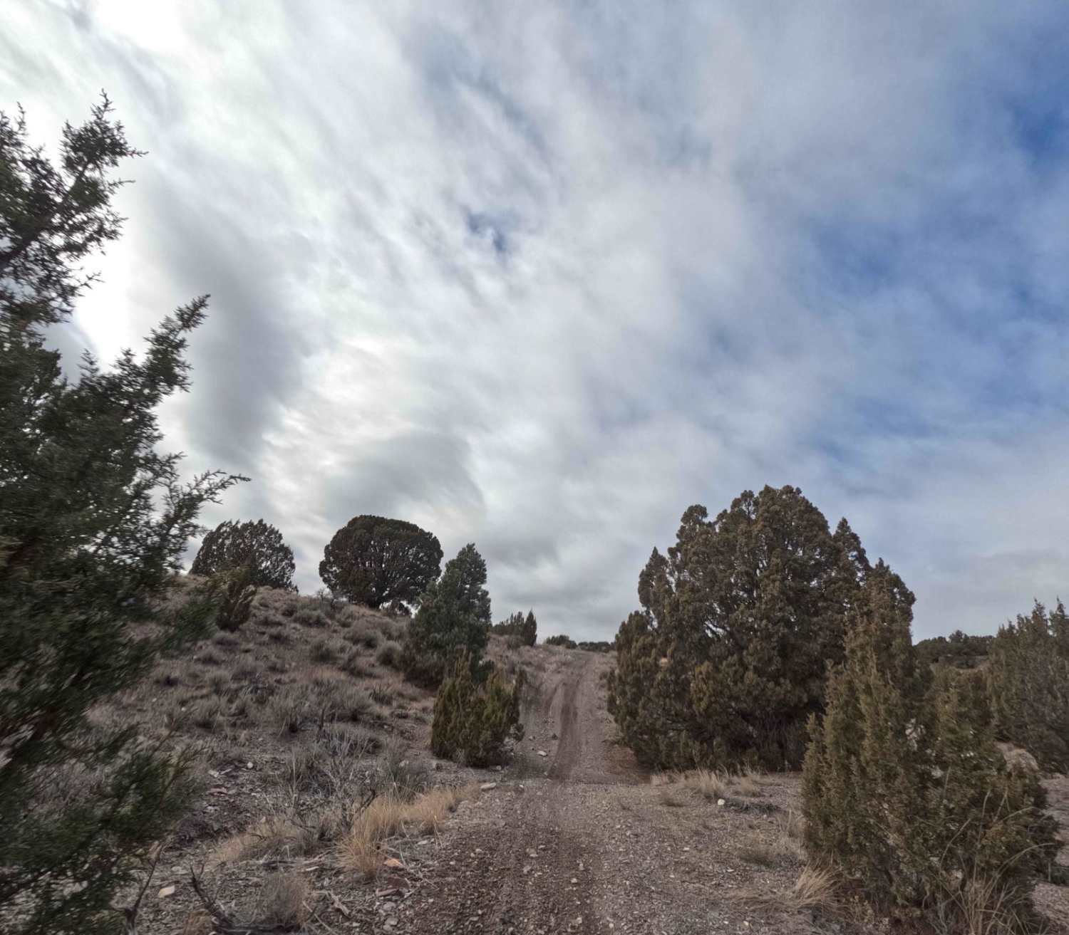
Trail Overview
Trail 511 is a horseshoe-shaped track that branches off 510, heading North and East. It ends on a dirt road off of Manning Canyon Road. This route is 2.7 miles long, climbing several hills before gradually dropping ~500 ft in elevation. The ground is a mix of dirt and loose, smaller rocks in the upper hills. When you start descending, the trail narrows into a ravine over large embedded boulders. There are golf ball - softball-sized loose rocks in this section as well. After this, the trail opens and winds through sage and pine trees.
Photos of 511

Difficulty
This trail is relatively easy except for a rocky ravine after the highest elevation. A tight trail and loose rocks raise the rating.
Status Reports
511 can be accessed by the following ride types:
- Dirt Bike
511 Map
Popular Trails

Spring Creek Trail No. 159

Cove Fort-Dry Creek/PST76
Water Hollow Trail
The onX Offroad Difference
onX Offroad combines trail photos, descriptions, difficulty ratings, width restrictions, seasonality, and more in a user-friendly interface. Available on all devices, with offline access and full compatibility with CarPlay and Android Auto. Discover what you’re missing today!