Swallow Park/North Swap Road
Total Miles
5.1
Technical Rating
Best Time
Spring, Summer, Fall
Trail Type
Full-Width Road
Accessible By
Trail Overview
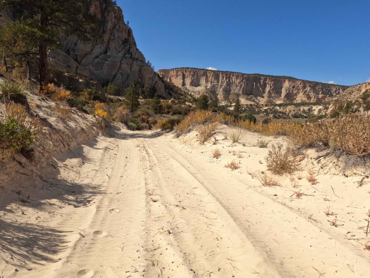
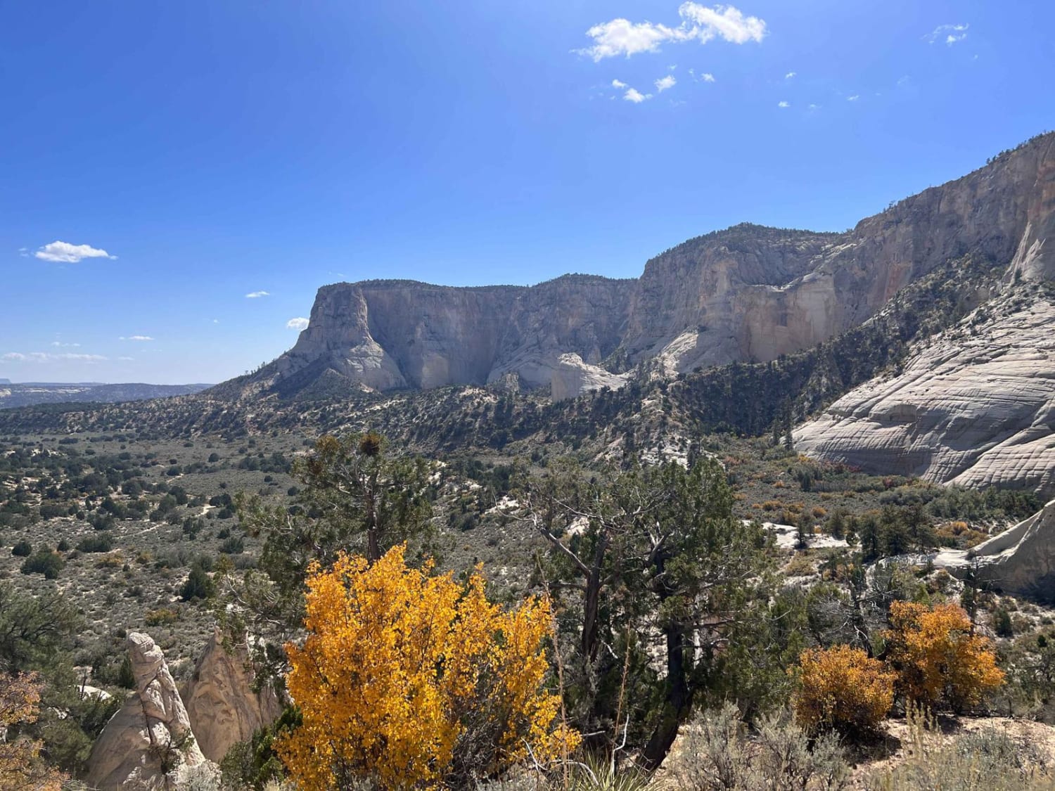
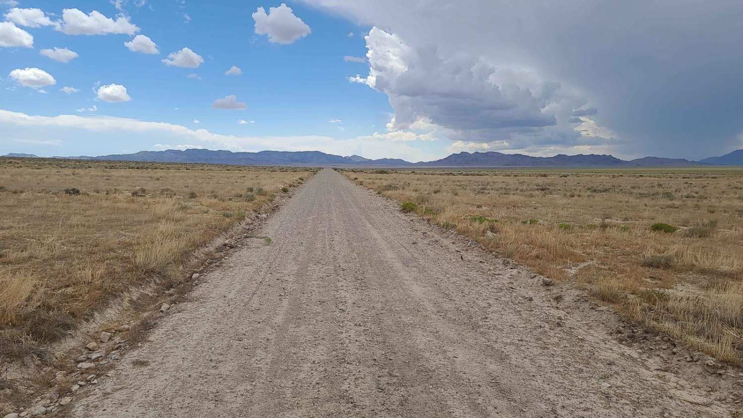
This trail connects Buckskin Road to Skutumpah Road. The trail traverses a very deep sandy area with large sagebrush and cedar trees. There are smaller washes. In addition, on this portion of the road you will climb over a smaller pass that has some challenging ledges, deep white sand, and sharp turns with off-camber situations. While this is a relatively short section, it can be somewhat challenging for newer drivers. This is an interesting area if you consider the contrast with the area along Buckskin Wash Road if you came in through that direction. This is a narrow road, so wider vehicles may get some scratches from the bushes and trees that line it. The county trail numbers are a little confusing in this area, as the trail K4360 actually forms a 'T'.
Photos of Swallow Park/North Swap Road
Difficulty
Most of this road is on flatter terrain with occasional washes and other small challenges. Near the northern end of this portion of the road, you will climb over a pass that is narrow and sandy, with occasional rock ledges and off-camber situations. This is a definite full 4WD and high-clearance area. There are also sharper turns near the top that may be challenging for longer vehicles.
Status Reports
Swallow Park/North Swap Road can be accessed by the following ride types:
- High-Clearance 4x4
- SUV
- SxS (60")
- ATV (50")
- Dirt Bike
Swallow Park/North Swap Road Map
Popular Trails

The Spur Overlook

Lake Mountain East

BLM 558/Inchworm
The onX Offroad Difference
onX Offroad combines trail photos, descriptions, difficulty ratings, width restrictions, seasonality, and more in a user-friendly interface. Available on all devices, with offline access and full compatibility with CarPlay and Android Auto. Discover what you’re missing today!


