Summerville Connector
Total Miles
2.6
Technical Rating
Best Time
Spring, Fall, Winter
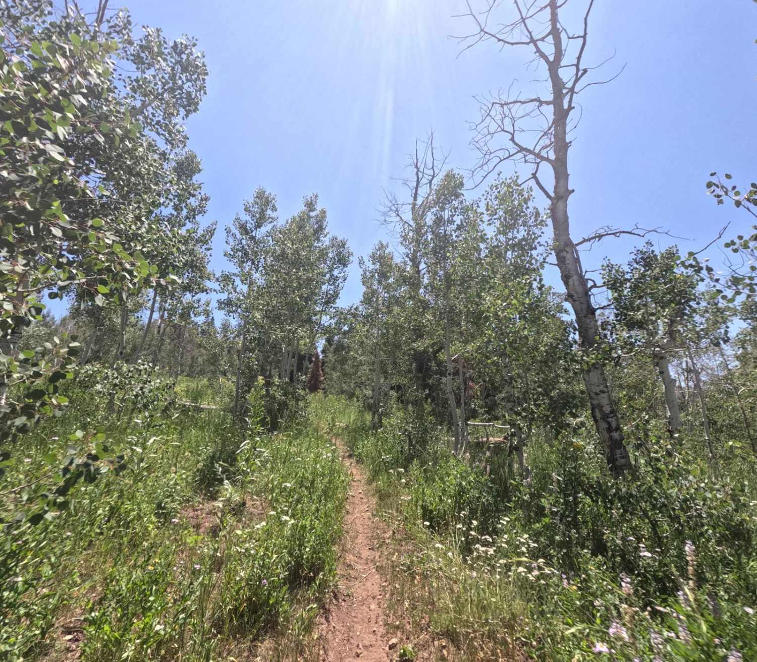
Trail Type
Single Track
Accessible By
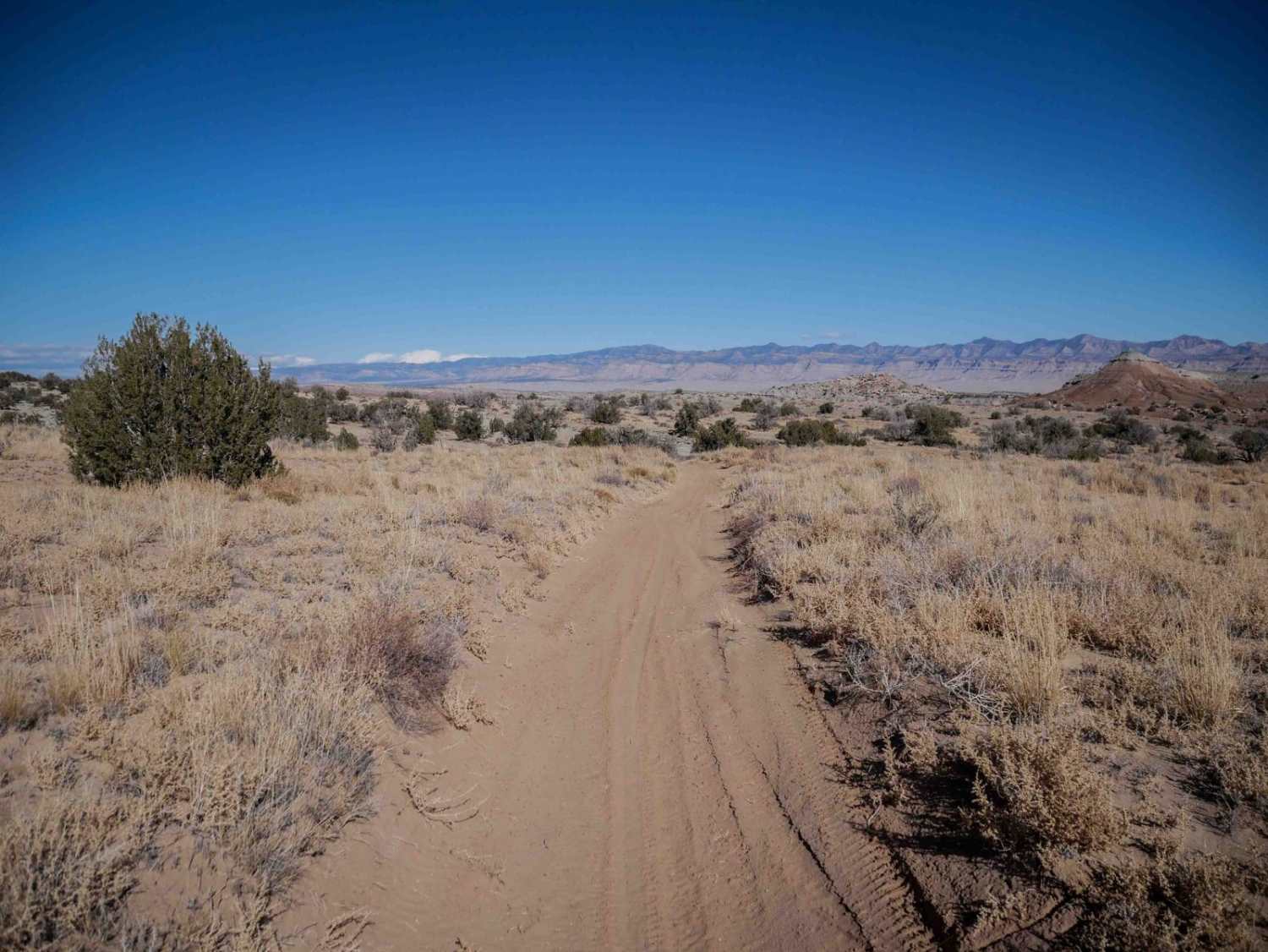
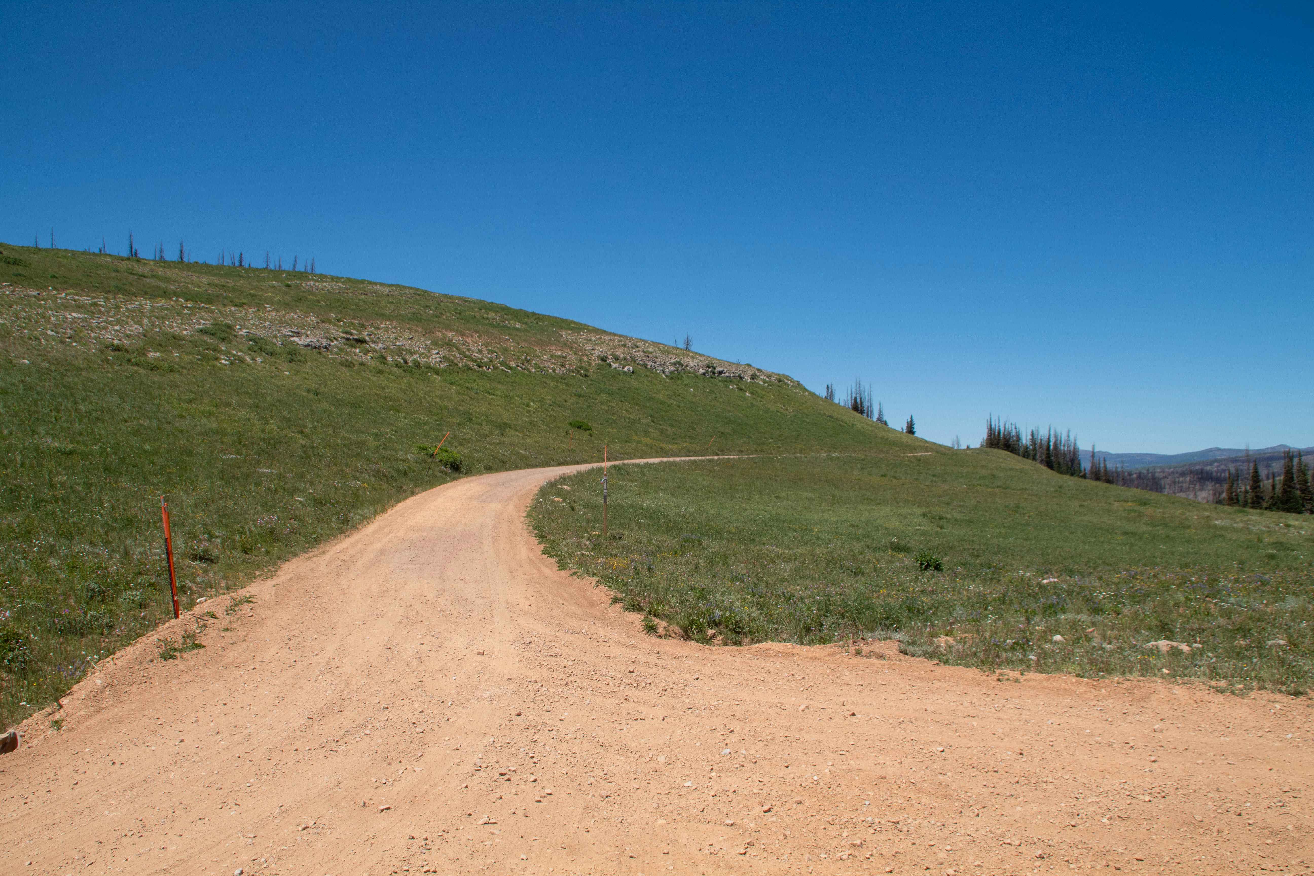
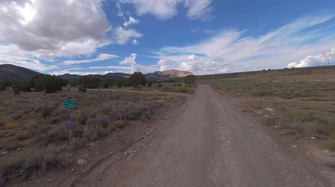
Trail Overview
This is 2.6 miles of wide desert trail through lots of sand. It has deep dips into ravines, one narrow like a V bottom. It goes up a couple of ramped slickrock layers. It's fast primarily, whooped, and goes up and over small desert hills with loose rocks. This is one of the more accessible trails in the area and doesn't have any significant obstacles or rock ledges.
Photos of Summerville Connector

Difficulty
This is an easy desert single track with no significant obstacles.
Status Reports
Summerville Connector can be accessed by the following ride types:
- Dirt Bike
Summerville Connector Map
Popular Trails
Lizard Lake - FS 8069
Broad Canyon Road - UCB823

Strike Ravine
The onX Offroad Difference
onX Offroad combines trail photos, descriptions, difficulty ratings, width restrictions, seasonality, and more in a user-friendly interface. Available on all devices, with offline access and full compatibility with CarPlay and Android Auto. Discover what you’re missing today!