Spring Canyon Point
Total Miles
17.2
Technical Rating
Best Time
Spring, Summer, Fall
Trail Type
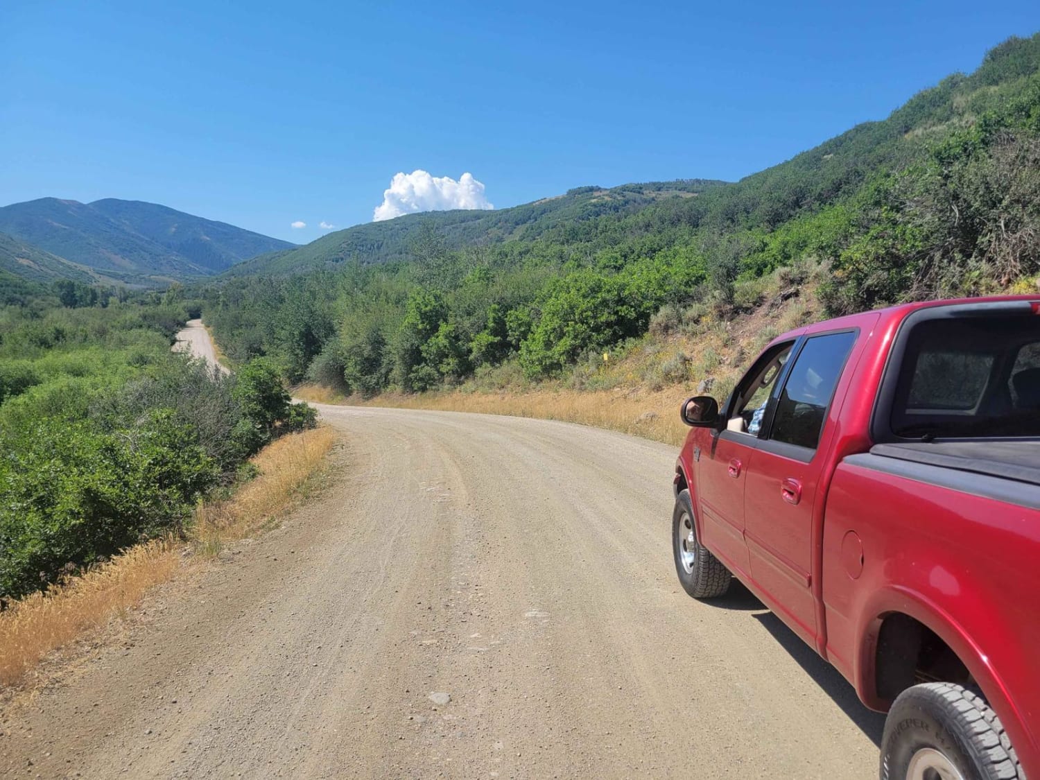
Full-Width Road
Accessible By
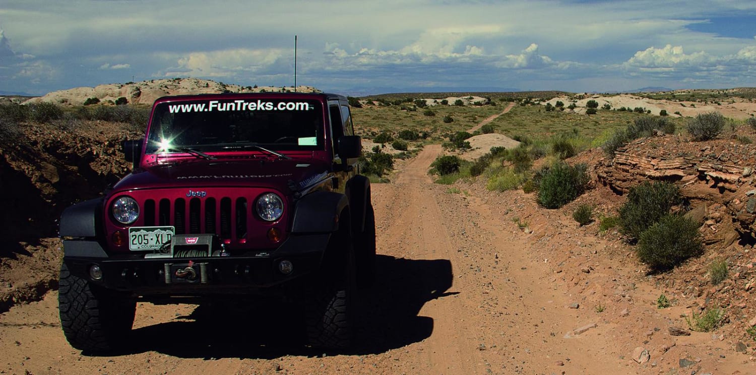
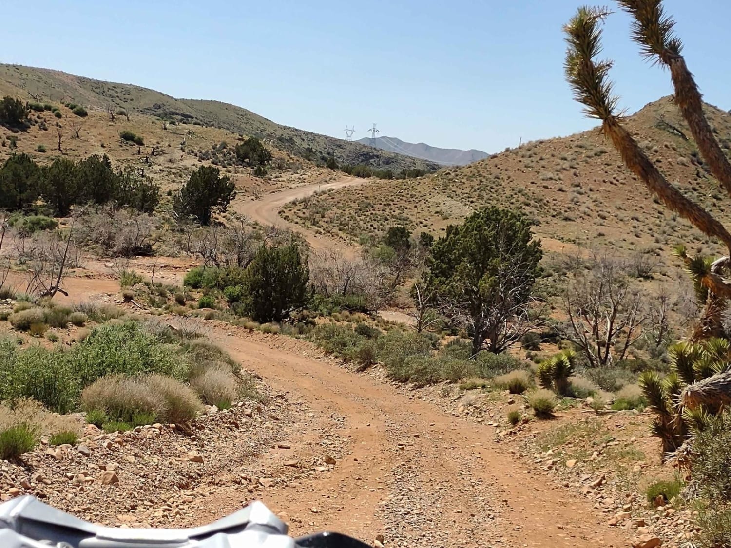
Trail Overview
** Please note - only a portion of this trail is closed due to a recent BLM travel management decision. A majority of this trail can still be driven, but not as described by the Guided Trail. Please refer to the closed styling (orange highlight) to note which portions are closed. Follow this wide, meandering trail through the open countryside that ends with a spectacular view of the Green River and Hey Joe Canyon. A fun side trip is available if you want to experience Cliff Hanger Arch and take a short hike.
Photos of Spring Canyon Point
Difficulty
Easy. Wide road until the end. Mostly dirt and sand with a little slickrock mixed in. Ruts and occasional washouts possible. We call the optional side trip to the arch 'moderate,' but a careful driver should be able to make it with little trouble in a stock, high-clearance 4-wheel-drive SUV.
History
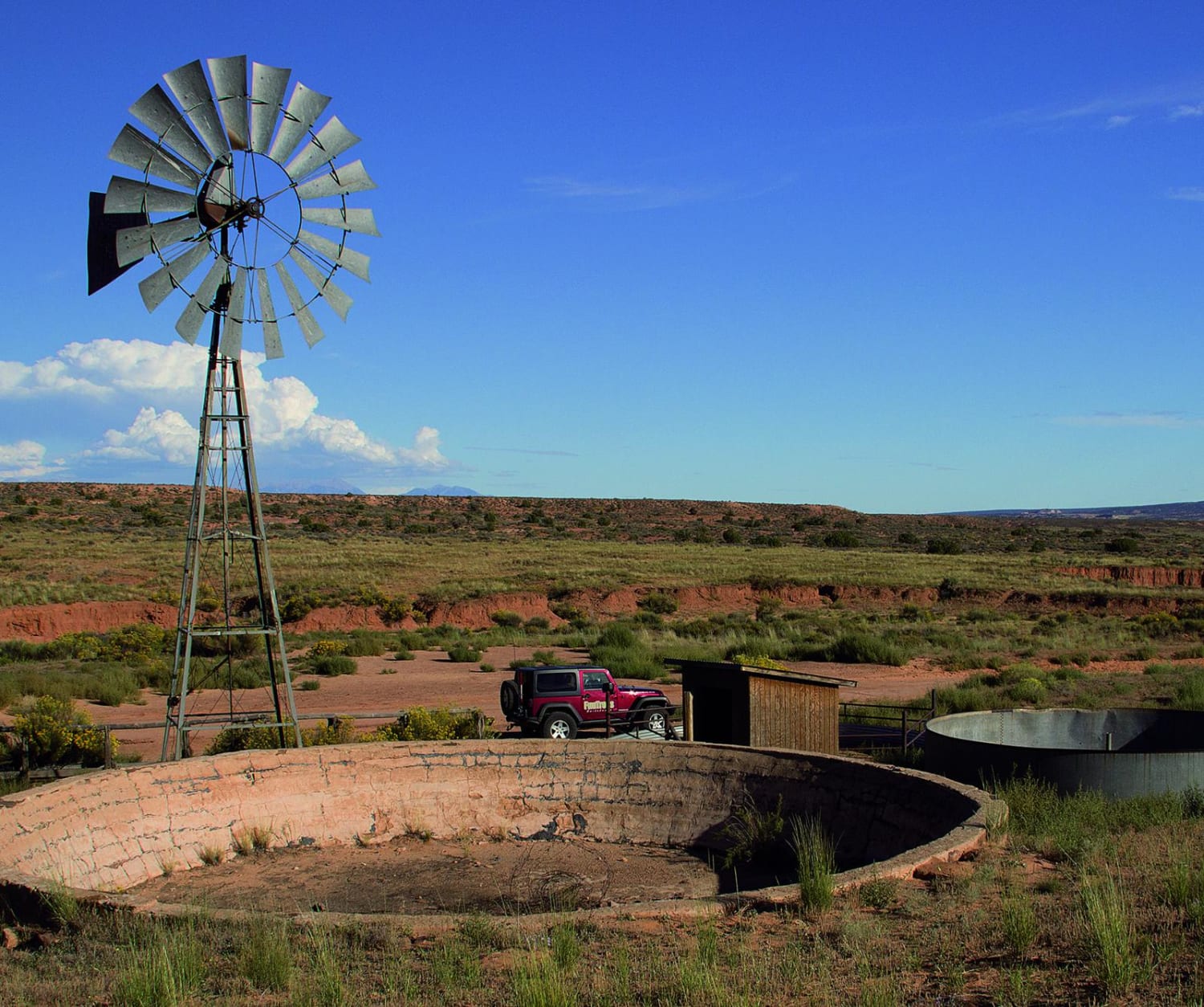
Take a few extra minutes to see Dubinky Well, just 0.2 mile north of the start. It was originally built in 1937 by the Civilian Conservation Corps and provides water for livestock grazing. The windmill is larger than normal to facilitate the extradeep 500-ft. well. Source: Kiosk at site.
Status Reports
Spring Canyon Point can be accessed by the following ride types:
- High-Clearance 4x4
- SUV
- SxS (60")
- ATV (50")
- Dirt Bike
Spring Canyon Point Map
Popular Trails

Special Spot - FS 33619
Motoqua - DI Ranch to Jackson Wash Cut-Across
Jeremy Ranch Road
The onX Offroad Difference
onX Offroad combines trail photos, descriptions, difficulty ratings, width restrictions, seasonality, and more in a user-friendly interface. Available on all devices, with offline access and full compatibility with CarPlay and Android Auto. Discover what you’re missing today!