Off-Road Trails in Utah
Discover off-road trails in Utah
Learn more about Steel Hollow 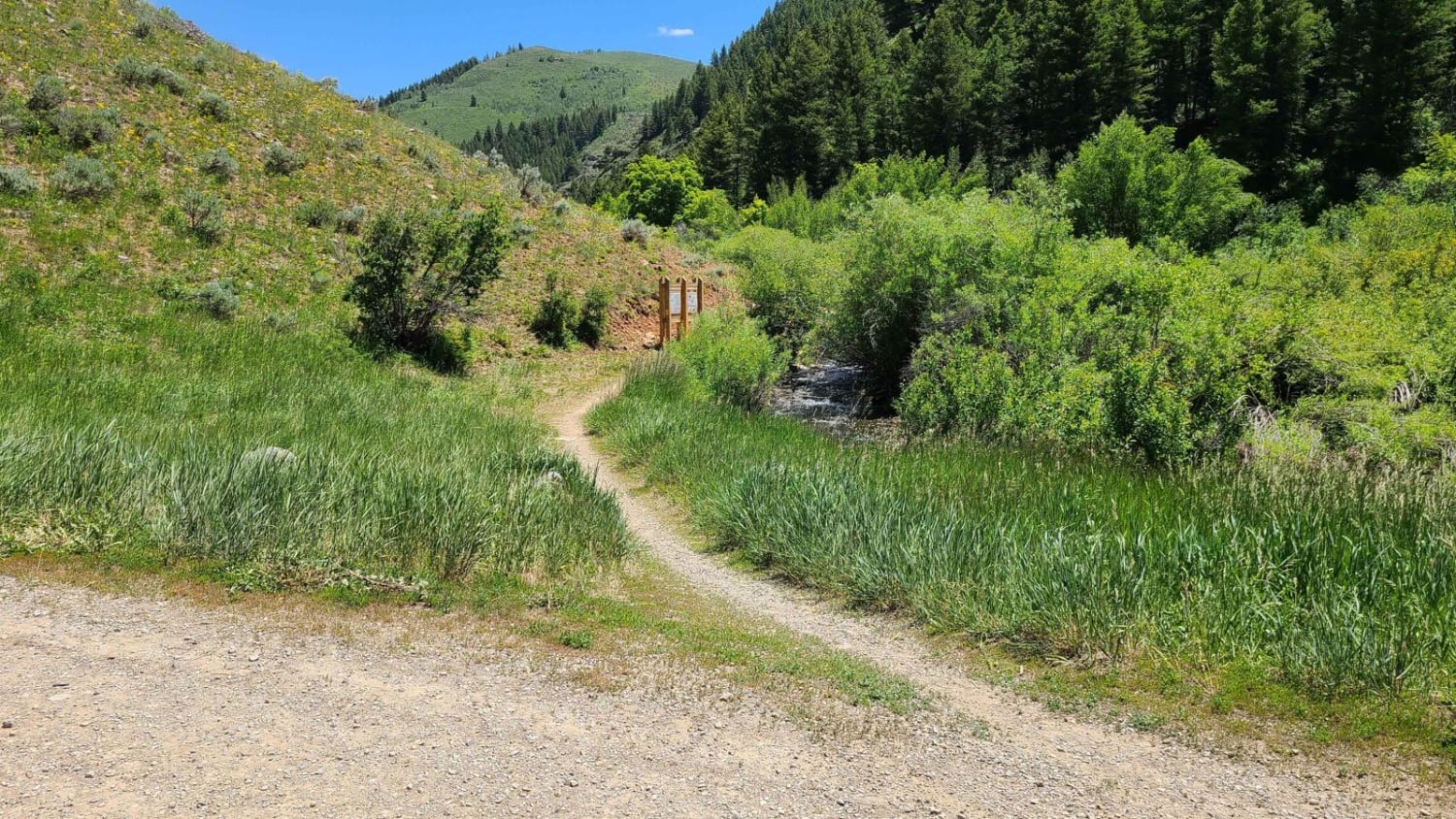
Steel Hollow
Total Miles
4.0
Tech Rating
Moderate
Best Time
Summer, Fall, Spring
Learn more about Steep Canyon and Crescent Lake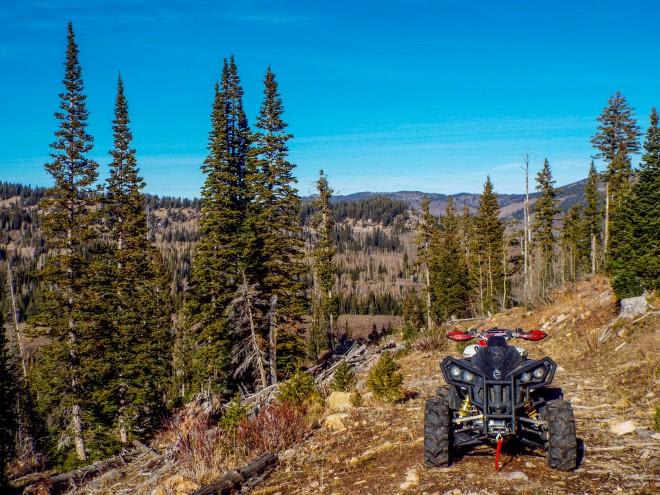
Steep Canyon and Crescent Lake
Total Miles
3.1
Tech Rating
Moderate
Best Time
Summer, Fall
Learn more about Step Flat Trail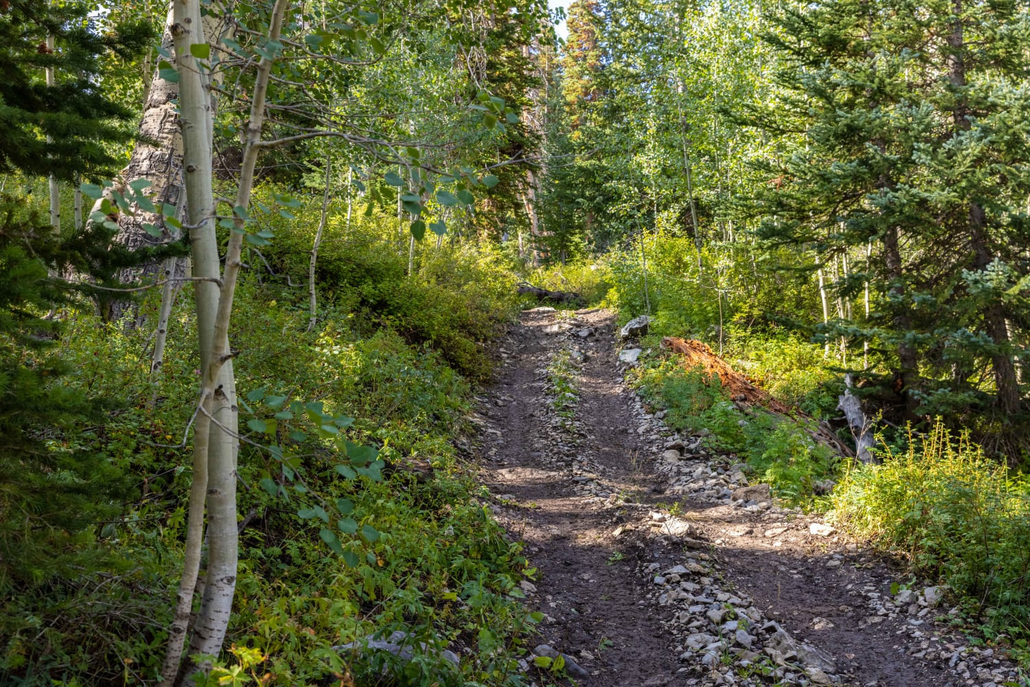
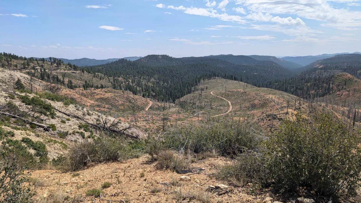
Step Flat Trail
Total Miles
2.9
Tech Rating
Moderate
Best Time
Fall, Summer, Spring
Learn more about Steps - Funnel - West Rim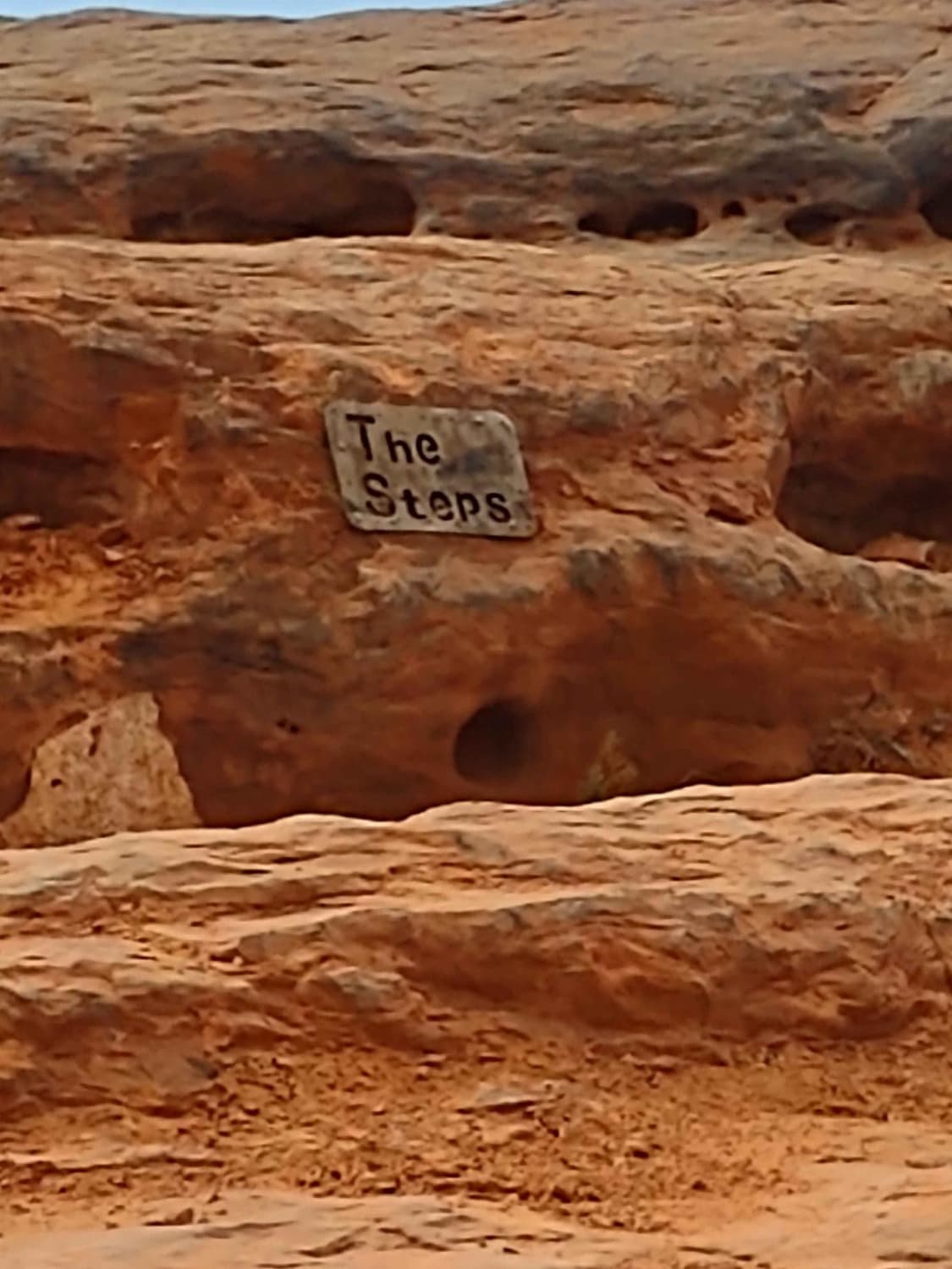
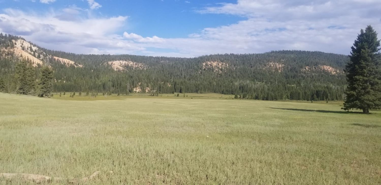
Steps - Funnel - West Rim
Total Miles
1.4
Tech Rating
Moderate
Best Time
Spring, Summer, Fall, Winter
Learn more about Stevens Creek South
Stevens Creek South
Total Miles
4.5
Tech Rating
Easy
Best Time
Spring, Summer, Fall
Learn more about Stevens Mesa Road-BLM14100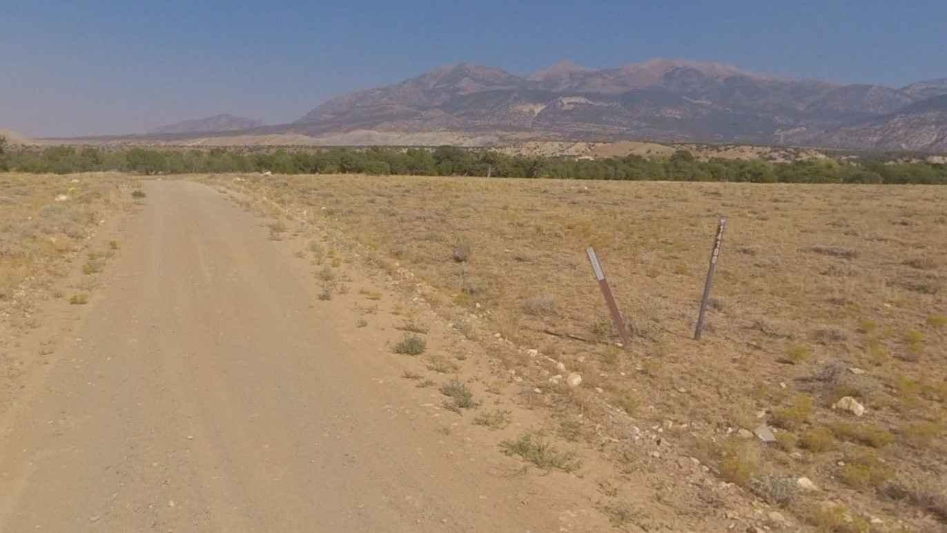
Stevens Mesa Road-BLM14100
Total Miles
9.8
Tech Rating
Easy
Best Time
Spring, Summer, Fall, Winter
Learn more about Stillwater Fork
Stillwater Fork
Total Miles
4.1
Tech Rating
Easy
Best Time
Spring, Summer, Fall
Learn more about Stock Driveway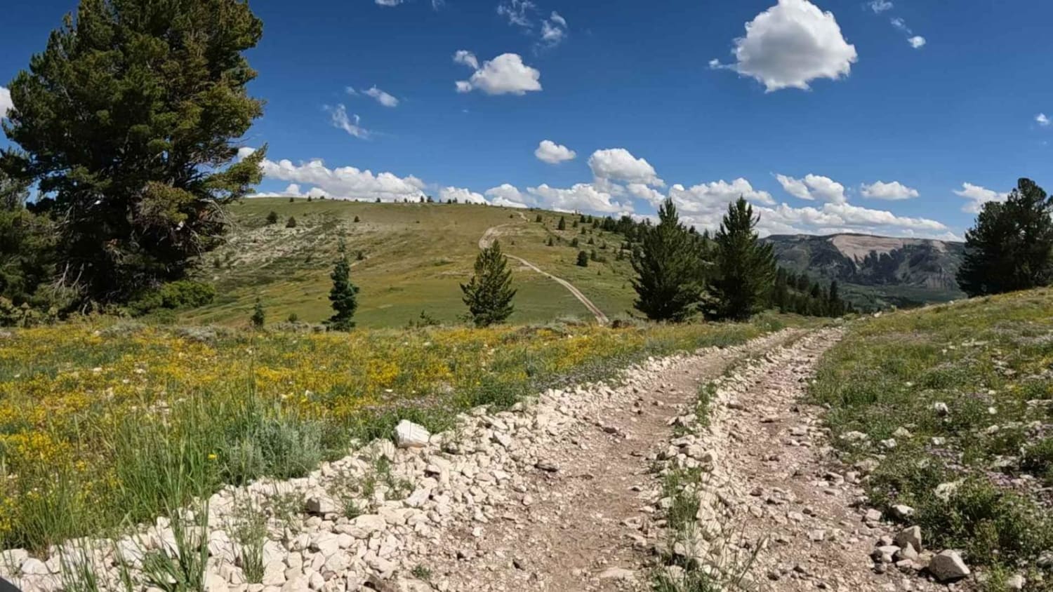
Stock Driveway
Total Miles
6.9
Tech Rating
Easy
Best Time
Spring, Summer, Fall
Learn more about Stone Figures 
Stone Figures
Total Miles
1.0
Tech Rating
Easy
Best Time
Spring, Winter, Fall
Learn more about Stout Canyon Connector
Stout Canyon Connector
Total Miles
2.2
Tech Rating
Moderate
Best Time
Summer, Fall
Learn more about Stout Canyon Road
Stout Canyon Road
Total Miles
8.5
Tech Rating
Easy
Best Time
Summer, Spring, Fall
Learn more about Stout Ridge Point
Stout Ridge Point
Total Miles
4.5
Tech Rating
Easy
Best Time
Summer, Fall, Spring
Learn more about Straight Shooter
Straight Shooter
Total Miles
0.9
Tech Rating
Easy
Best Time
Spring, Summer, Fall
Learn more about Straight Shot
Straight Shot
Total Miles
0.4
Tech Rating
Easy
Best Time
Summer, Fall, Spring
Learn more about Strawberry Canyon
Strawberry Canyon
Total Miles
1.6
Tech Rating
Easy
Best Time
Summer, Fall
Learn more about Strawberry Mountain
Strawberry Mountain
Total Miles
5.2
Tech Rating
Moderate
Best Time
Summer
ATV trails in Utah

Learn more about 14 Mile Road
14 Mile Road
Total Miles
14.7
Tech Rating
Easy
Best Time
Spring, Summer, Fall, Winter


UTV/side-by-side trails in Utah
Learn more about 14 Mile Road
14 Mile Road
Total Miles
14.7
Tech Rating
Easy
Best Time
Spring, Summer, Fall, Winter
The onX Offroad Difference
onX Offroad combines trail photos, descriptions, difficulty ratings, width restrictions, seasonality, and more in a user-friendly interface. Available on all devices, with offline access and full compatibility with CarPlay and Android Auto. Discover what you’re missing today!