Off-Road Trails in Utah
Discover off-road trails in Utah
Learn more about Smoky Hollow Road
Smoky Hollow Road
Total Miles
10.4
Tech Rating
Easy
Best Time
Spring, Summer, Fall
Learn more about Smoky Mountain Road
Smoky Mountain Road
Total Miles
43.7
Tech Rating
Easy
Best Time
Spring, Fall
Learn more about Smoky Mountain Road North BLM 300
Smoky Mountain Road North BLM 300
Total Miles
30.7
Tech Rating
Easy
Best Time
Spring, Summer, Fall, Winter
Learn more about Snow Hollow Loop
Snow Hollow Loop
Total Miles
17.8
Tech Rating
Easy
Best Time
Summer, Spring, Fall
Learn more about Soapstone - FR70304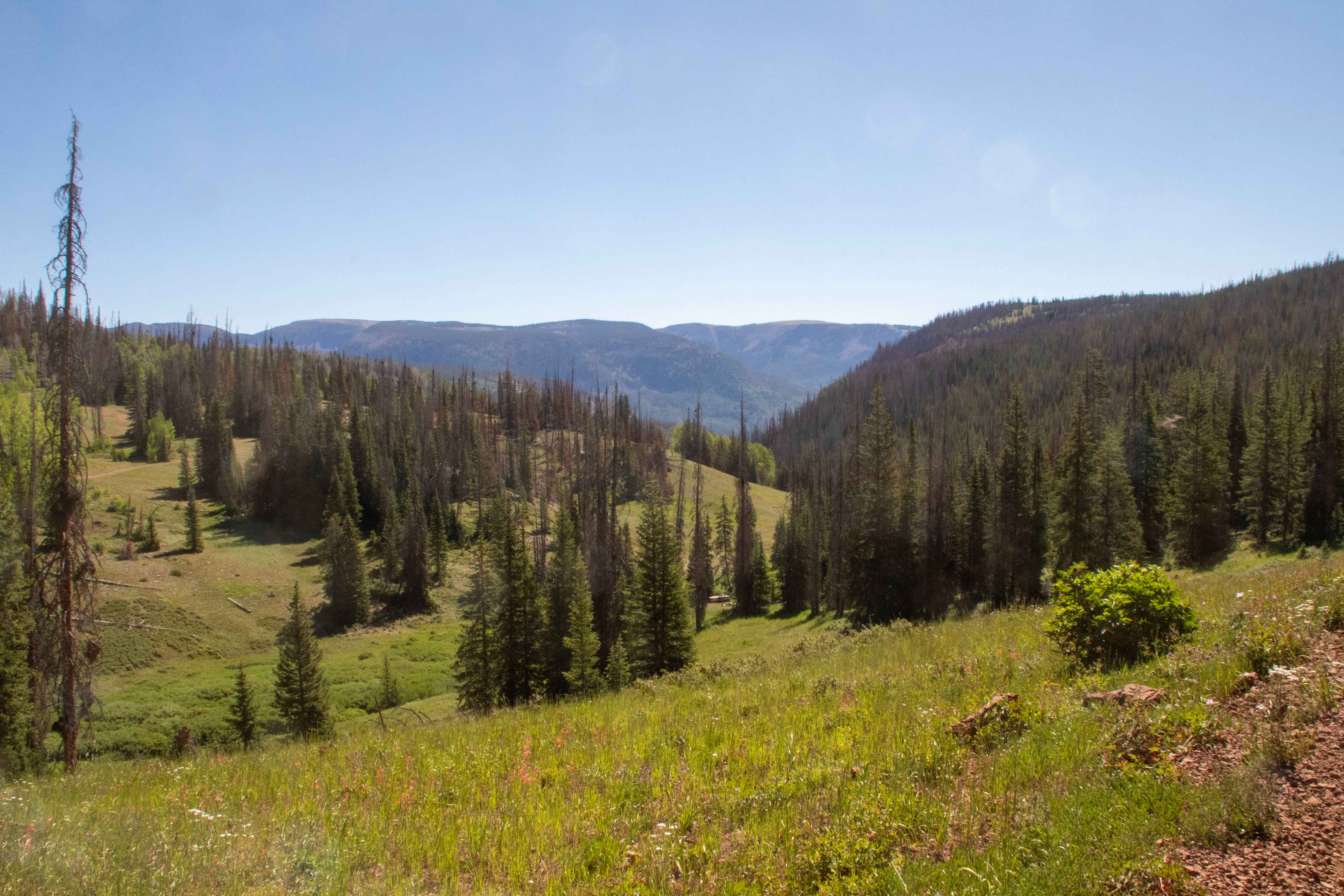
Soapstone - FR70304
Total Miles
4.3
Tech Rating
Moderate
Best Time
Summer, Fall, Spring
Learn more about Soapstone Pass Trail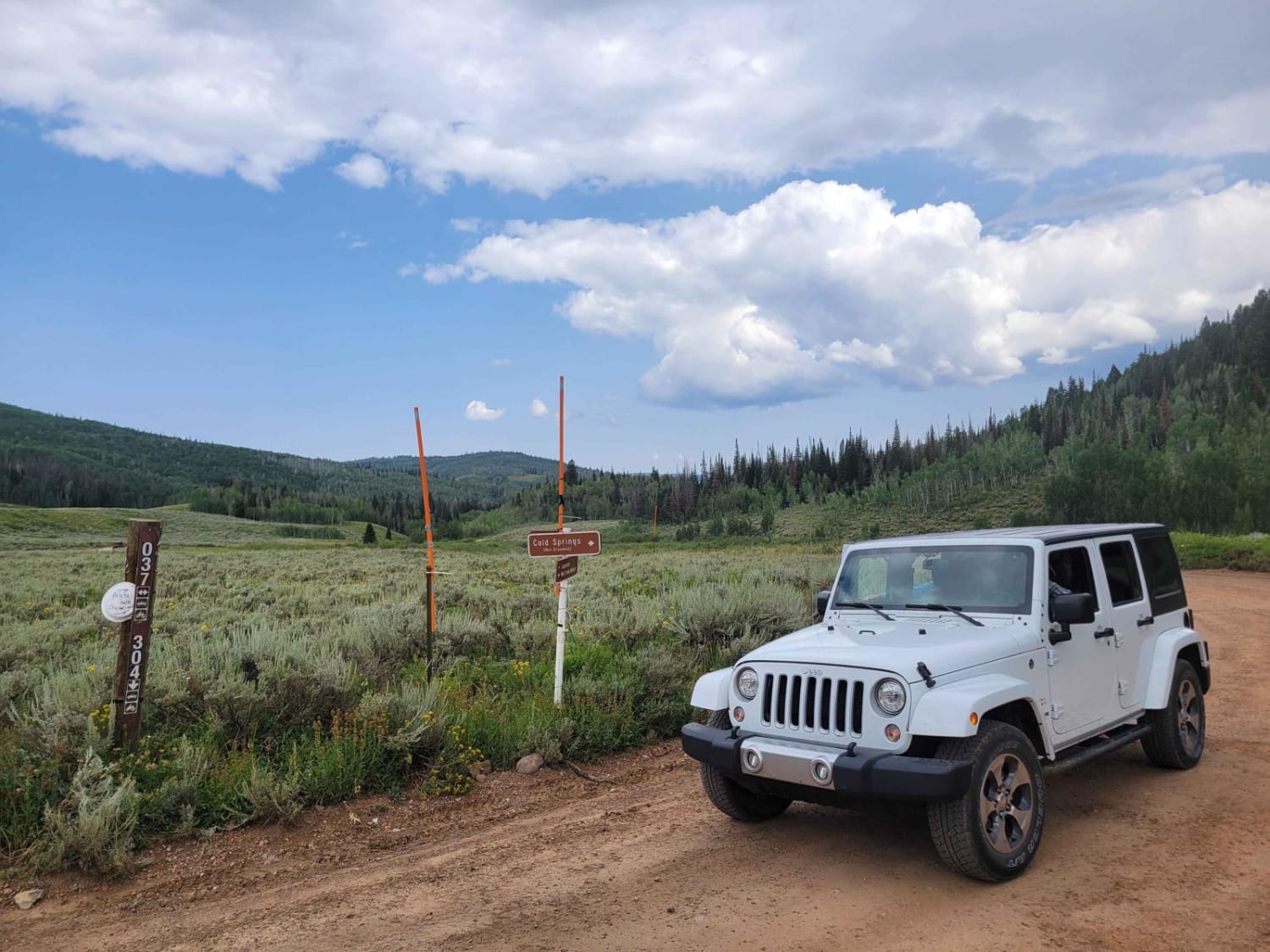
Soapstone Pass Trail
Total Miles
7.6
Tech Rating
Easy
Best Time
Spring, Summer, Fall
Learn more about Soldier Canyon Road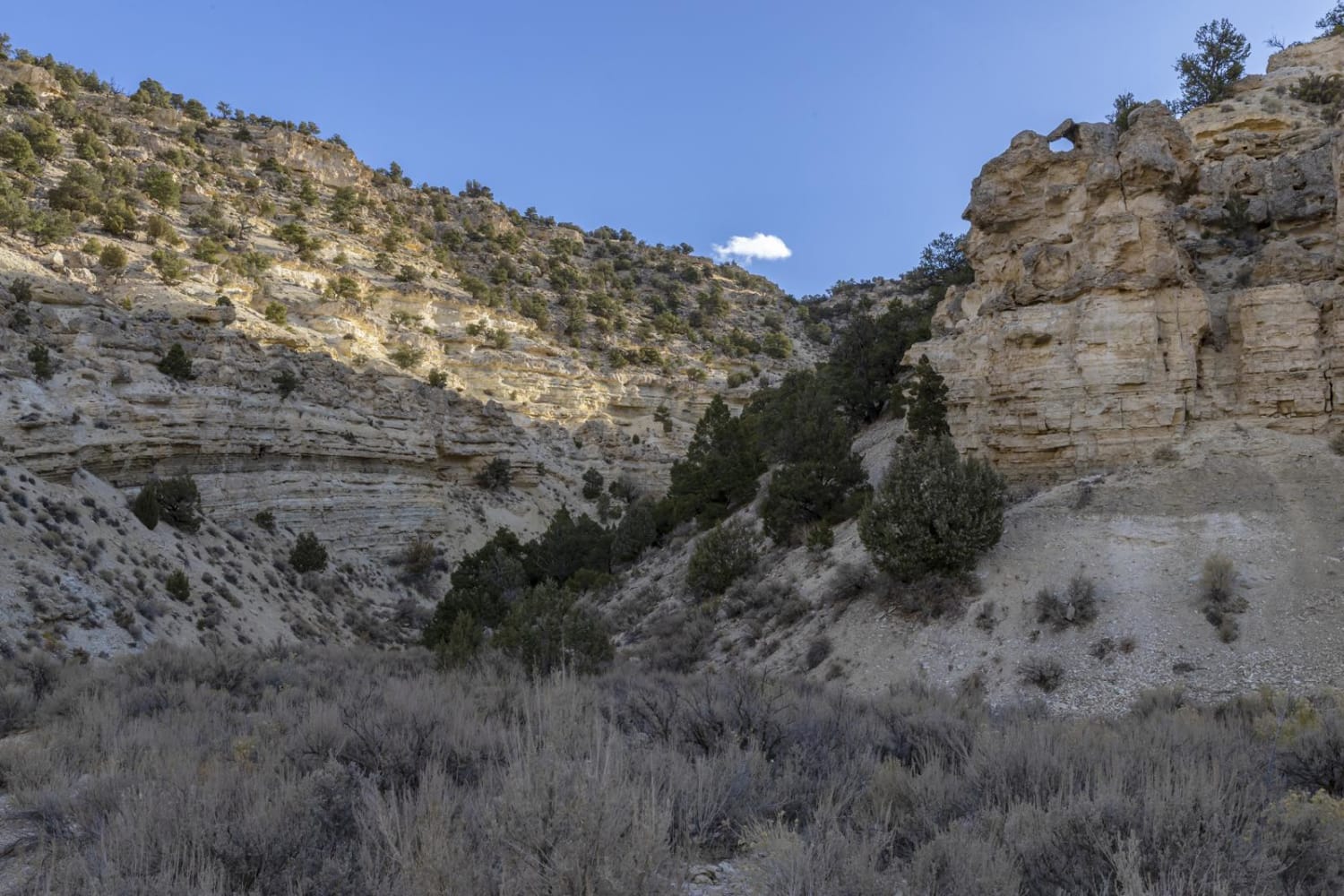
Soldier Canyon Road
Total Miles
7.1
Tech Rating
Easy
Best Time
Spring, Summer, Fall, Winter
Learn more about Soldier Canyon to Rex's Reservoir Road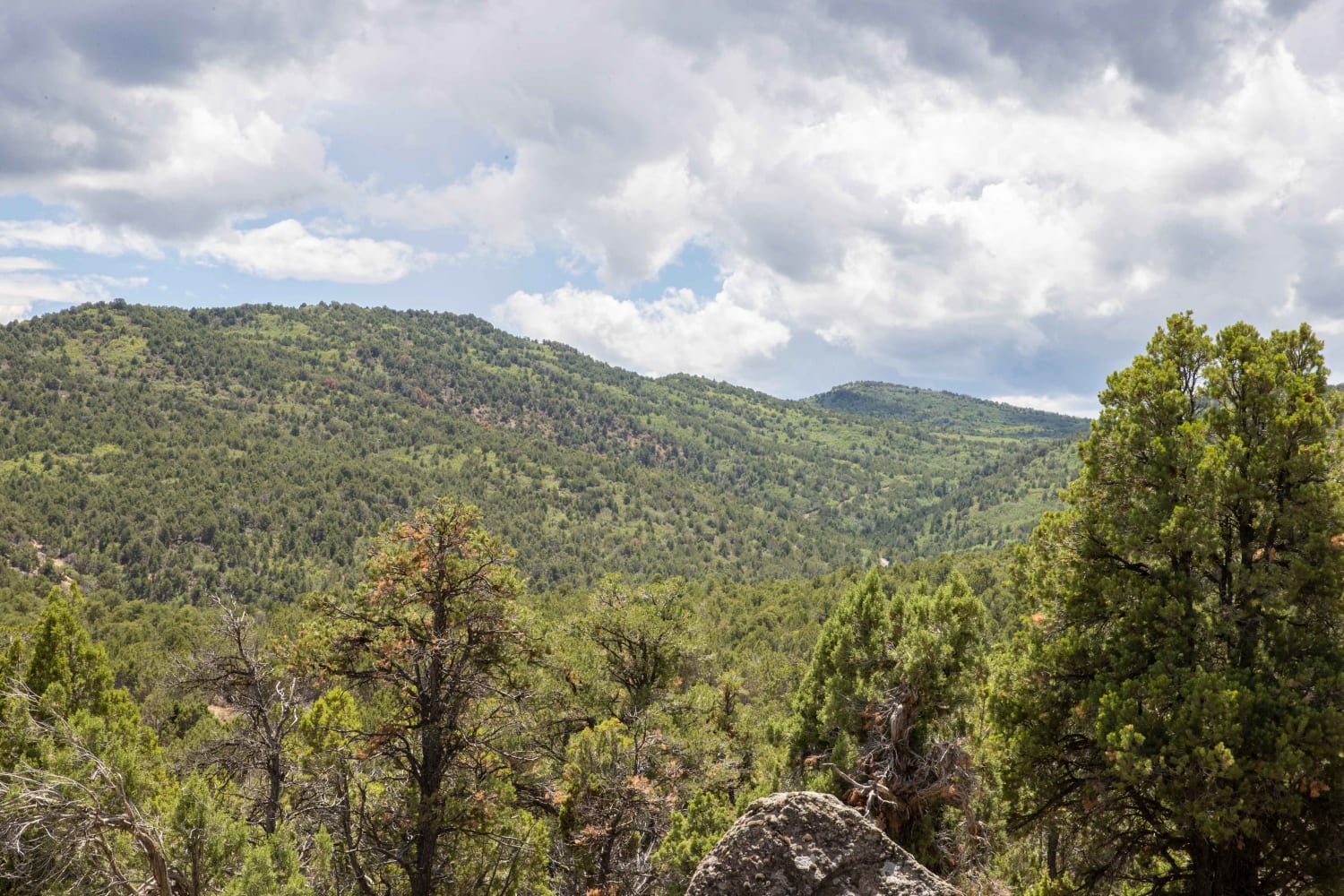
Soldier Canyon to Rex's Reservoir Road
Total Miles
6.3
Tech Rating
Easy
Best Time
Fall, Summer, Spring, Winter
Learn more about Soldier Pass Road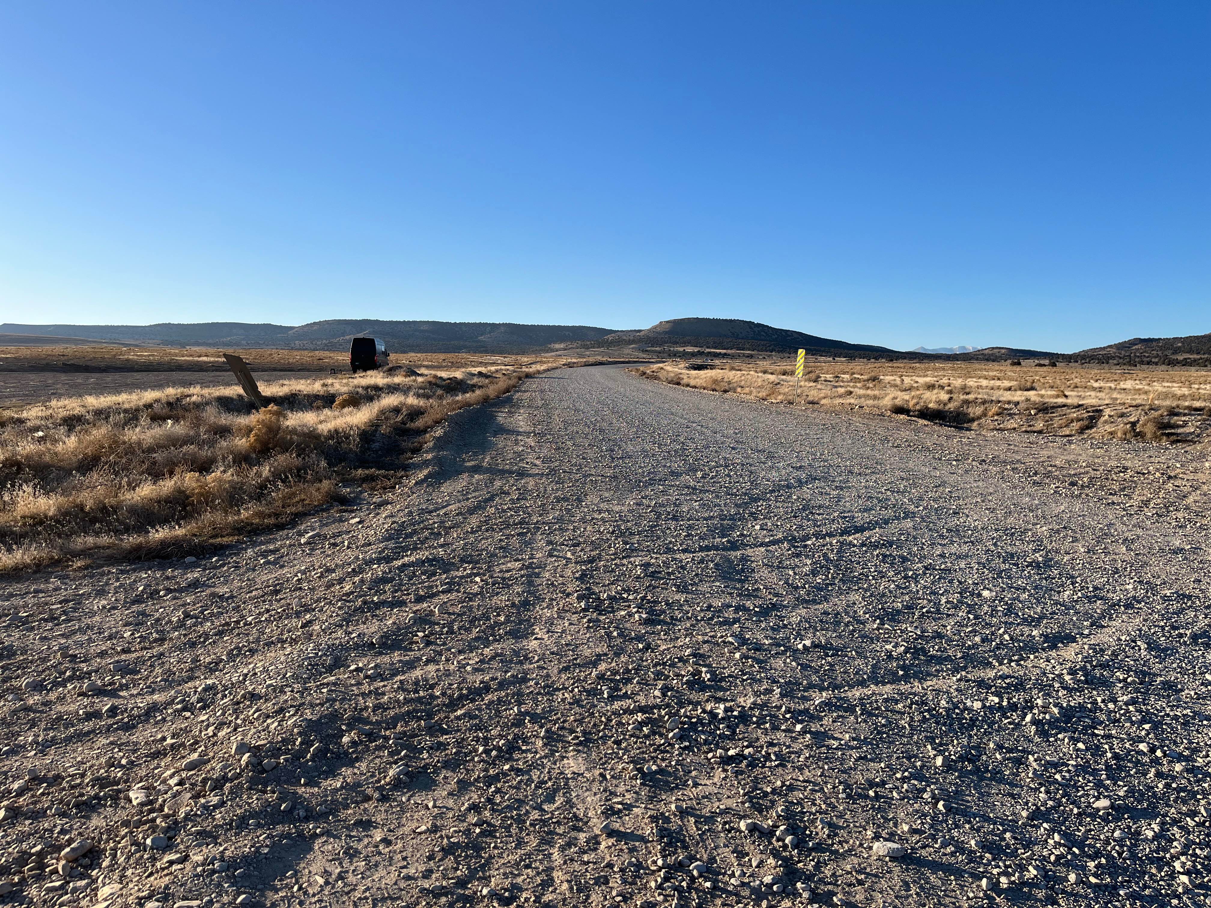
Soldier Pass Road
Total Miles
6.6
Tech Rating
Easy
Best Time
Spring, Summer, Fall, Winter
Learn more about South Draw Road - Capitol Reef NP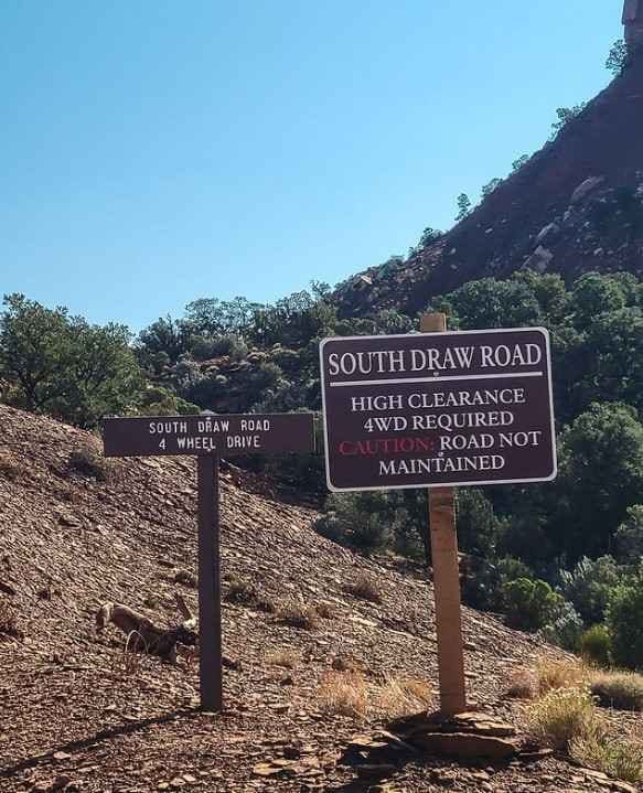
South Draw Road - Capitol Reef NP
Total Miles
5.6
Tech Rating
Moderate
Best Time
Spring, Summer, Fall
Learn more about South Duel Creek Trail
South Duel Creek Trail
Total Miles
0.3
Tech Rating
Easy
Best Time
Spring, Summer, Fall, Winter
Learn more about South Duma Trail 
South Duma Trail
Total Miles
0.4
Tech Rating
Easy
Best Time
Spring, Winter, Fall
Learn more about South Elks Road
South Elks Road
Total Miles
19.9
Tech Rating
Easy
Best Time
Spring, Summer, Winter, Fall
Learn more about South Fork Greenwich Creek
South Fork Greenwich Creek
Total Miles
1.7
Tech Rating
Easy
Best Time
Spring, Summer, Fall
Learn more about South Fork Little Deer Creek (2252)
South Fork Little Deer Creek (2252)
Total Miles
3.5
Tech Rating
Easy
Best Time
Fall, Summer
Learn more about South Fork Weber - FR 031
South Fork Weber - FR 031
Total Miles
2.7
Tech Rating
Moderate
Best Time
Spring, Summer, Fall
Learn more about South Horseshoe Canyon
South Horseshoe Canyon
Total Miles
4.8
Tech Rating
Moderate
Best Time
Spring, Summer, Fall
Learn more about South Jacobs Tanks Road
South Jacobs Tanks Road
Total Miles
3.9
Tech Rating
Easy
Best Time
Spring, Fall, Winter
Learn more about South Puddle Valley Well Road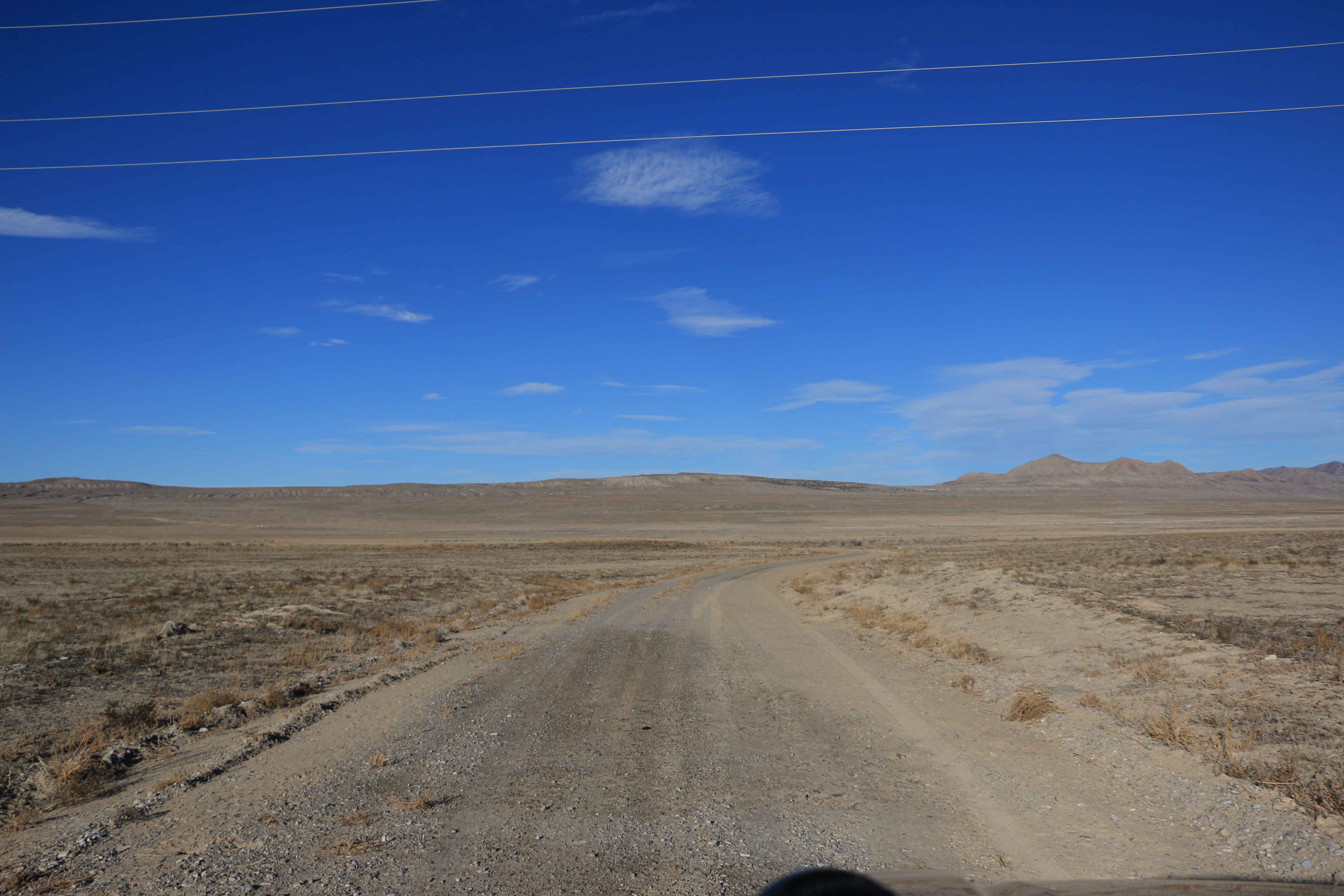
South Puddle Valley Well Road
Total Miles
5.6
Tech Rating
Easy
Best Time
Spring, Summer, Fall
ATV trails in Utah

Learn more about 14 Mile Road
14 Mile Road
Total Miles
14.7
Tech Rating
Easy
Best Time
Spring, Summer, Fall, Winter


UTV/side-by-side trails in Utah
Learn more about 14 Mile Road
14 Mile Road
Total Miles
14.7
Tech Rating
Easy
Best Time
Spring, Summer, Fall, Winter
The onX Offroad Difference
onX Offroad combines trail photos, descriptions, difficulty ratings, width restrictions, seasonality, and more in a user-friendly interface. Available on all devices, with offline access and full compatibility with CarPlay and Android Auto. Discover what you’re missing today!