Smoky Mountain Road North BLM 300
Total Miles
30.7
Technical Rating
Best Time
Spring, Summer, Fall, Winter
Trail Type
Full-Width Road
Accessible By
Trail Overview
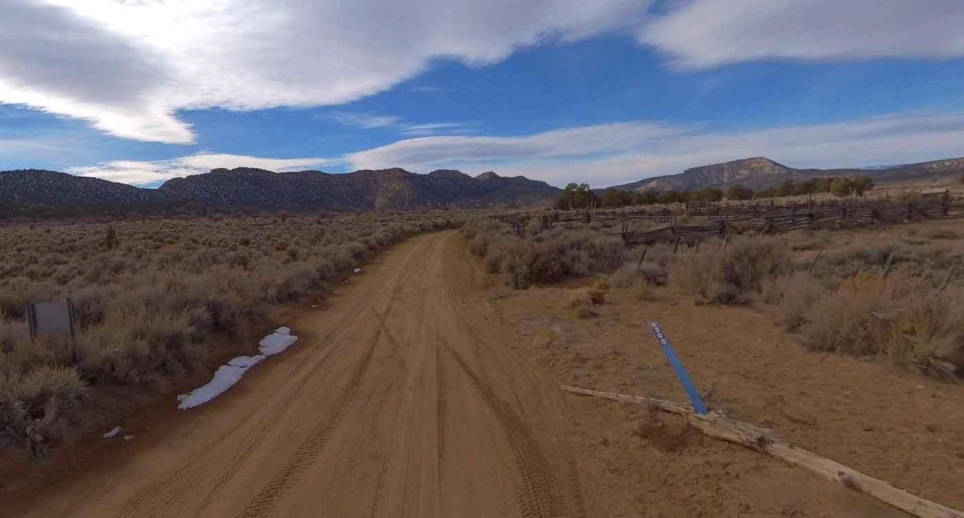
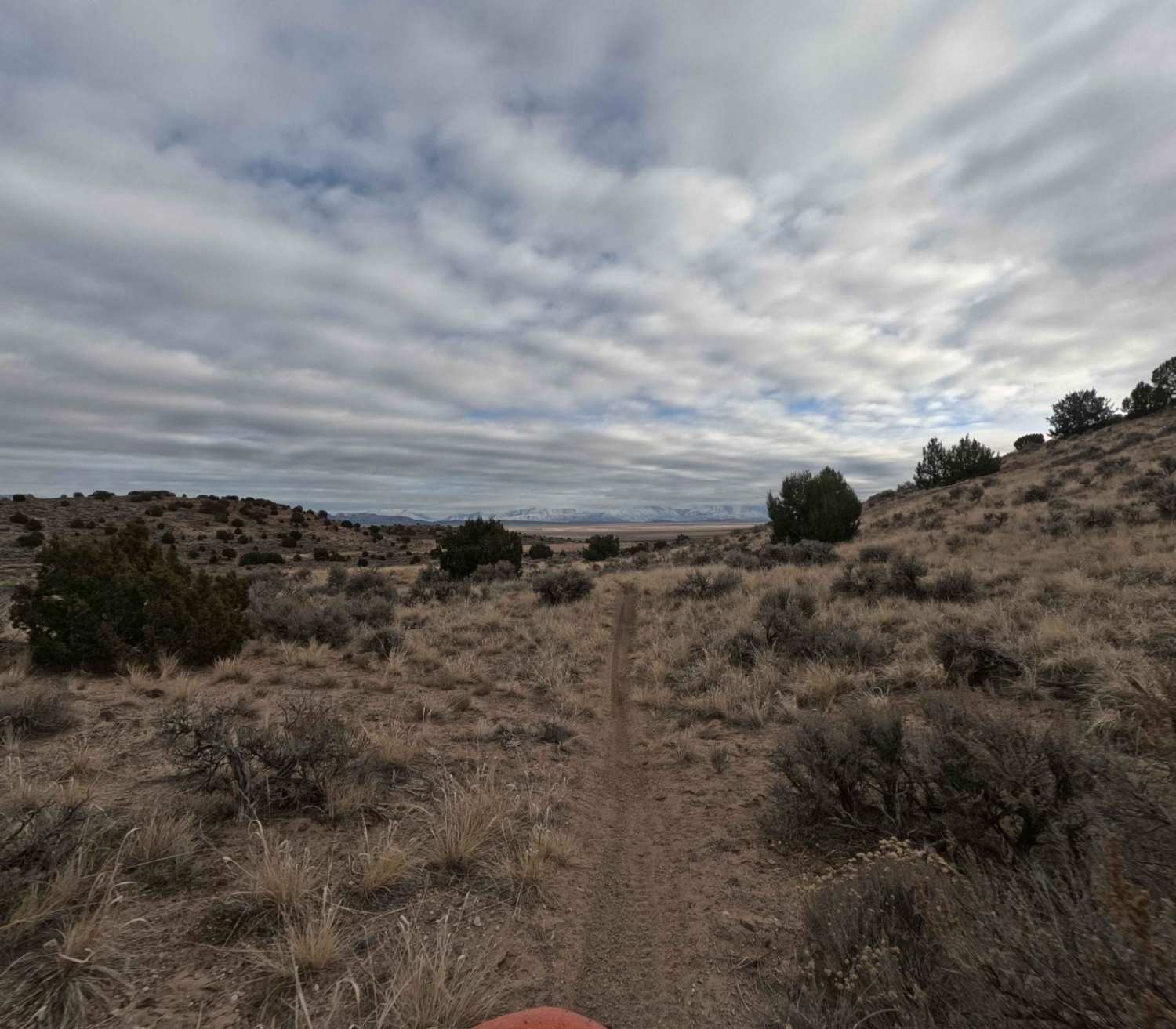
Smoky Mountain Scenic Backway is an 80-mile challenging drive located in Kane and Garfield Counties within the Grand Staircase-Escalante National Monument. The Smoky Mountain Road North BLM 300 starts at the intersection of BLM 300 and BLM 230 Left Hand Collet Canyon Road. The trail is a well-maintained single and double track rated 2 of 10. Smoky Mountain Road is a point-to-point road from the east side of Big Water, Utah, and ends in Escalante, Utah. This route is designated a Scenic Backway. The southern section of BLM 300 is considered to be much more difficult than the north section. A high-clearance vehicle is recommended due to the potential for difficult crossing of the various washes along the road. Signs posted at either entrance warn "impassable when wet" and the BLM is serious. Avoid this route the day of and the day after heavy rains. The elevation of the route varies between 4,500 feet and 6,500 feet, meaning you'll find relatively moderate temperatures in spring and fall, but it can get quite hot in the summer and cold in the winter. The Smoky Mountain Road passes through the heart of the Grand Staircase-Escalante National Monument. The area where the road is located is remote and completely undeveloped. There are no services anywhere along the route. Cell phone coverage is limited or non-existent throughout the area and the nearest services are located in Escalante and Big Water.
Photos of Smoky Mountain Road North BLM 300
Difficulty
This is a county dirt road with infrequent or light maintenance after rain or snow. High-clearance, light-duty 4WD may be required.
Status Reports
Smoky Mountain Road North BLM 300 can be accessed by the following ride types:
- High-Clearance 4x4
- SUV
- SxS (60")
- ATV (50")
- Dirt Bike
Smoky Mountain Road North BLM 300 Map
Popular Trails
Shotgun Alley

Farmington Flats
Cherry Creek Road
The onX Offroad Difference
onX Offroad combines trail photos, descriptions, difficulty ratings, width restrictions, seasonality, and more in a user-friendly interface. Available on all devices, with offline access and full compatibility with CarPlay and Android Auto. Discover what you’re missing today!
