Soapstone - FR70304
Total Miles
4.3
Technical Rating
Best Time
Summer, Fall, Spring
Trail Type
Full-Width Road
Accessible By
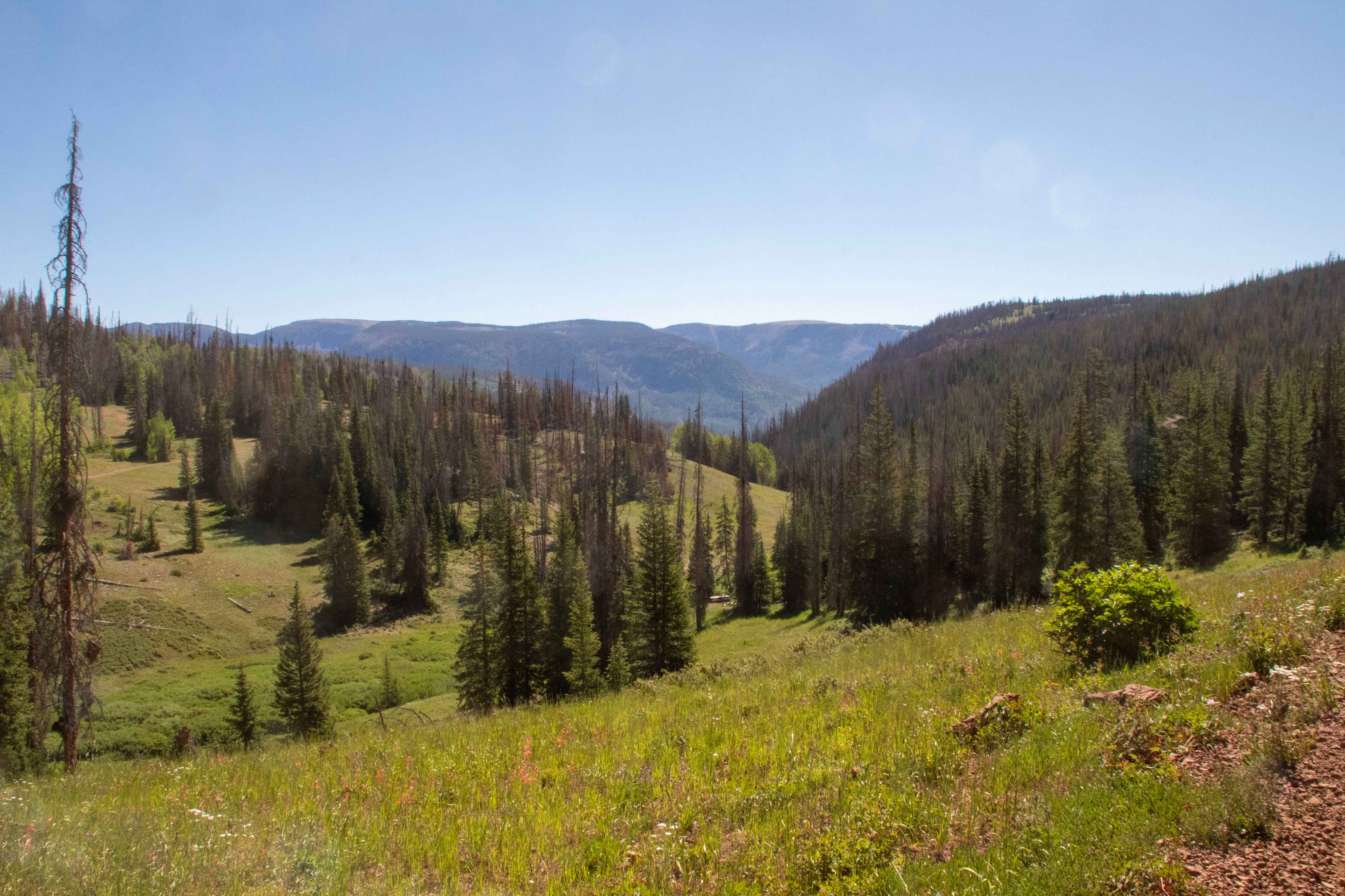
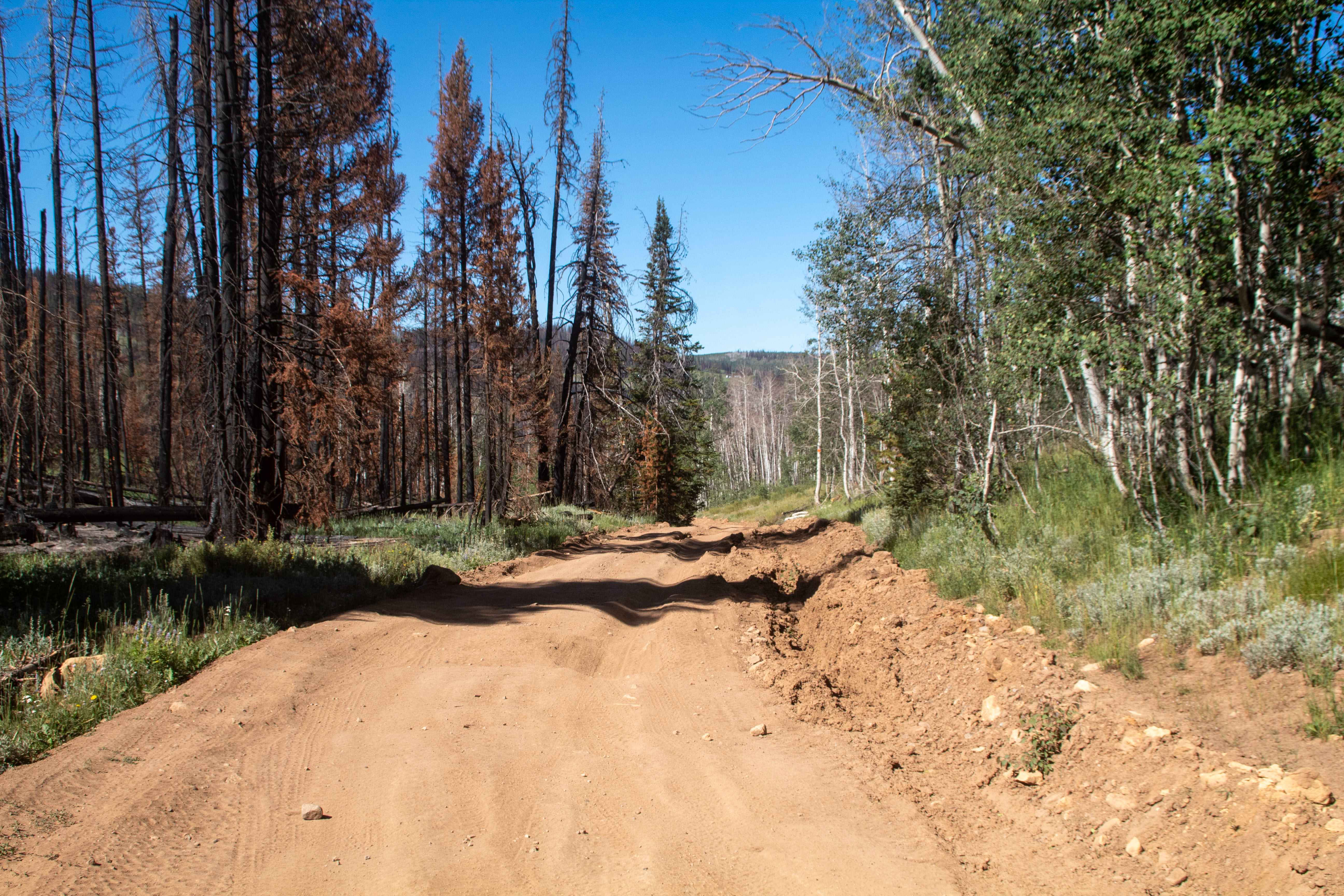
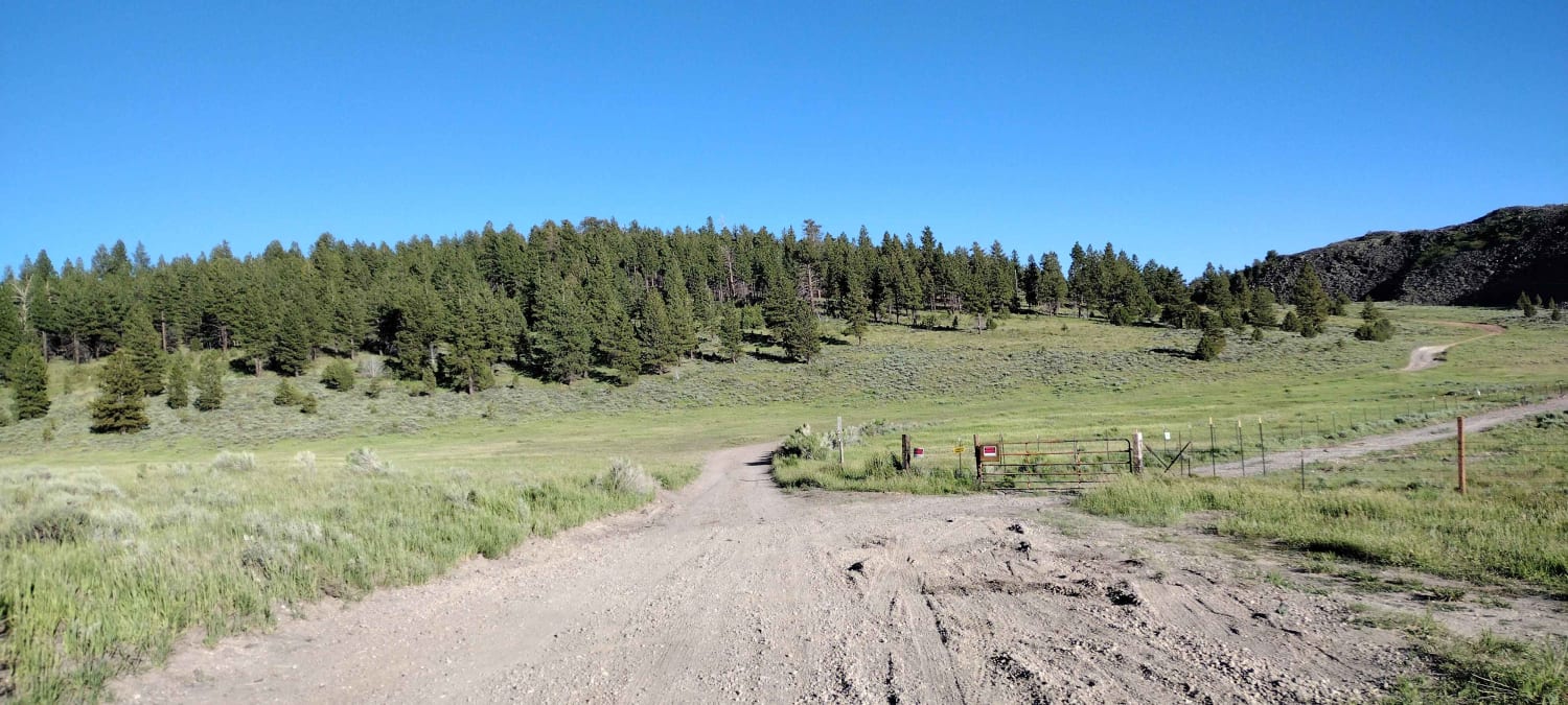
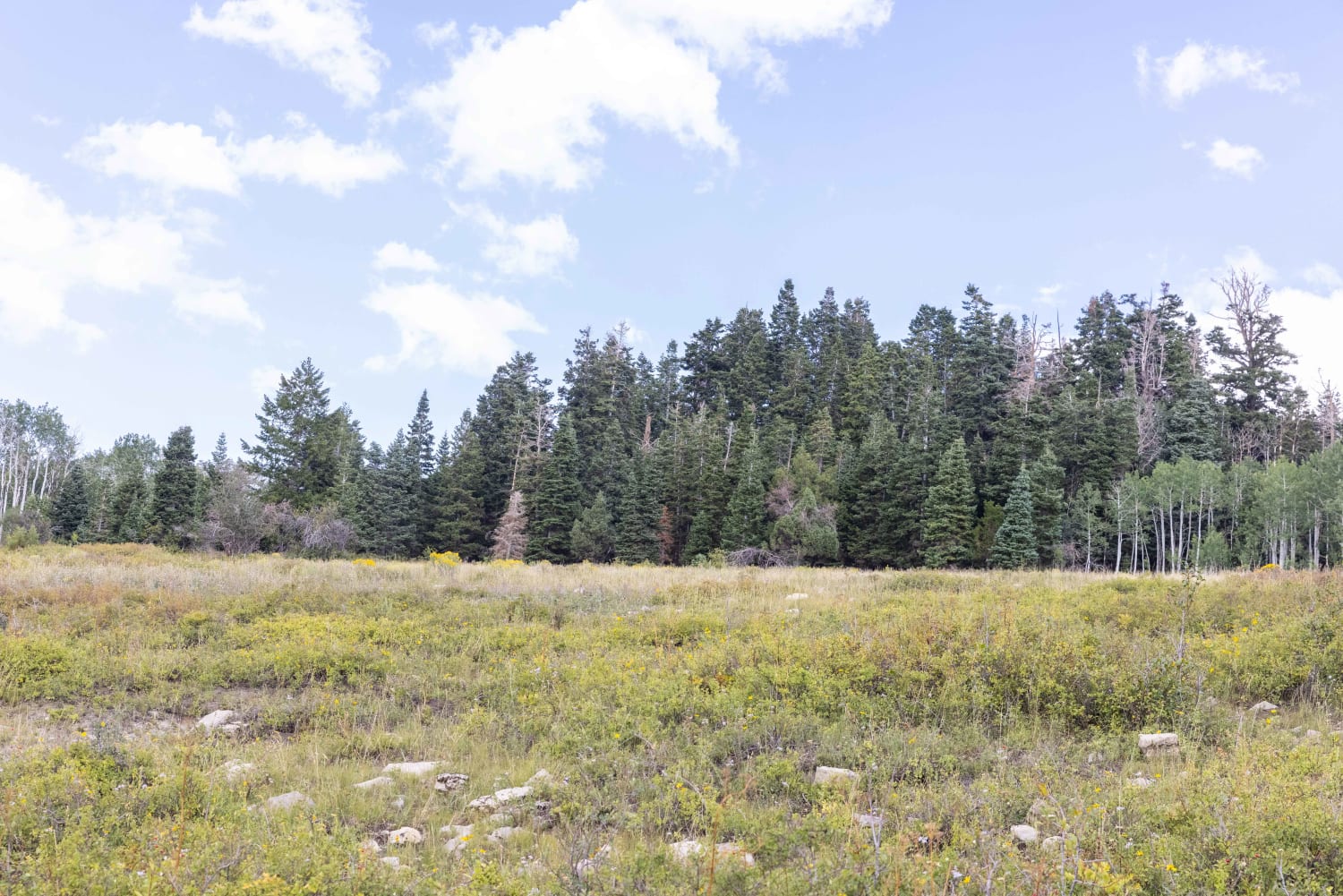
Trail Overview
This trail is a rocky and scenic trail that leads from Soapstone Pass over to the East end of Soapstone Basin to the end of Rhodes Canyon. This trail is narrow, with it being one vehicle wide with spots to allow passing. The trail traverses the landscape generally following Soapstone Creek with some short side roads that lead to the creek, but mostly it's out of view in the trees. There is a lot of dispersed camping along this trail, but most of the larger spots are on the West end of the trail, with there being fewer spots as you head East and the road gets rougher. This trail is closed during the winter and is open depending on the snow level.s When they open Soapstone Pass, there is no set date, but it tends to open mid to late June and close by the end of November.
Photos of Soapstone - FR70304
Difficulty
There are some steeper grades with rocky sections scattered throughout.
Status Reports
Soapstone - FR70304 can be accessed by the following ride types:
- High-Clearance 4x4
- SUV
- SxS (60")
- ATV (50")
- Dirt Bike
Soapstone - FR70304 Map
Popular Trails

Alvies Bench (FR 70192)
Dandelion Flat

Gold Springs Road
The onX Offroad Difference
onX Offroad combines trail photos, descriptions, difficulty ratings, width restrictions, seasonality, and more in a user-friendly interface. Available on all devices, with offline access and full compatibility with CarPlay and Android Auto. Discover what you’re missing today!