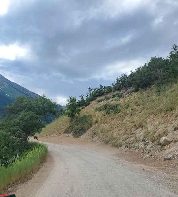
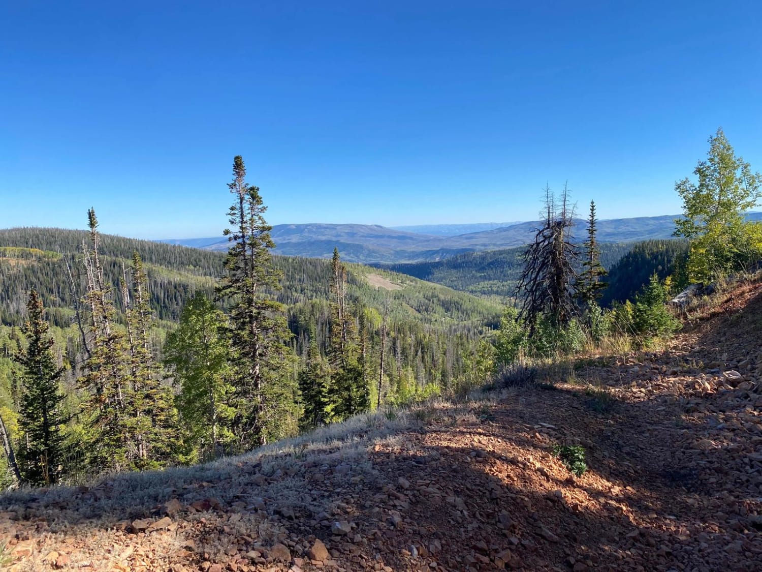
Off-Road Trails in Utah
Discover off-road trails in Utah
Learn more about Sidewinder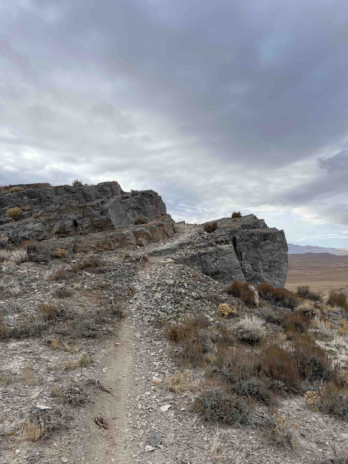
Sidewinder
Total Miles
13.1
Tech Rating
Moderate
Best Time
Summer, Fall, Winter, Spring
Learn more about Sidewinder - Mansard Petroglyphs (BLM 104)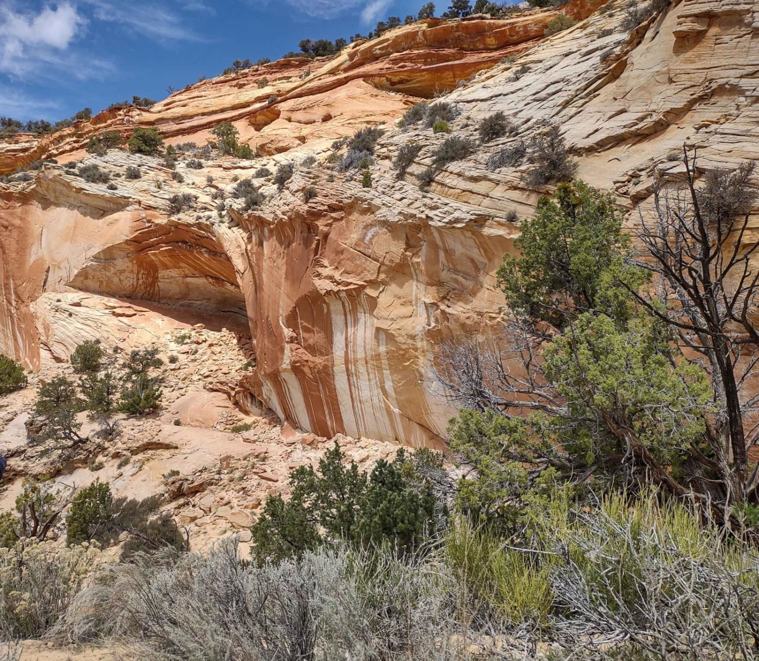
Sidewinder - Mansard Petroglyphs (BLM 104)
Total Miles
4.2
Tech Rating
Easy
Best Time
Spring, Summer, Fall
Learn more about Sidewinder Alternate
Sidewinder Alternate
Total Miles
3.0
Tech Rating
Easy
Best Time
Spring, Summer, Fall, Winter
Learn more about Silver Island Canyon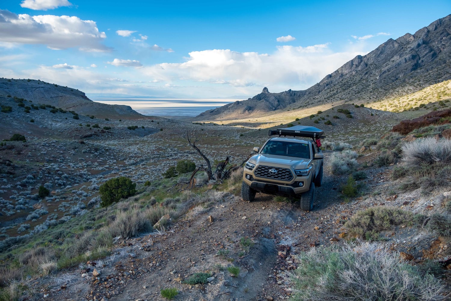
Silver Island Canyon
Total Miles
6.2
Tech Rating
Easy
Best Time
Spring, Fall
Learn more about Silver Island Mountains Backcountry Byway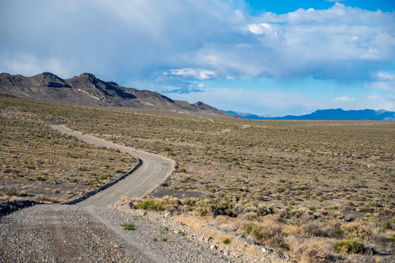
Silver Island Mountains Backcountry Byway
Total Miles
53.8
Tech Rating
Easy
Best Time
Spring, Summer, Fall, Winter
Learn more about Silver Island Pass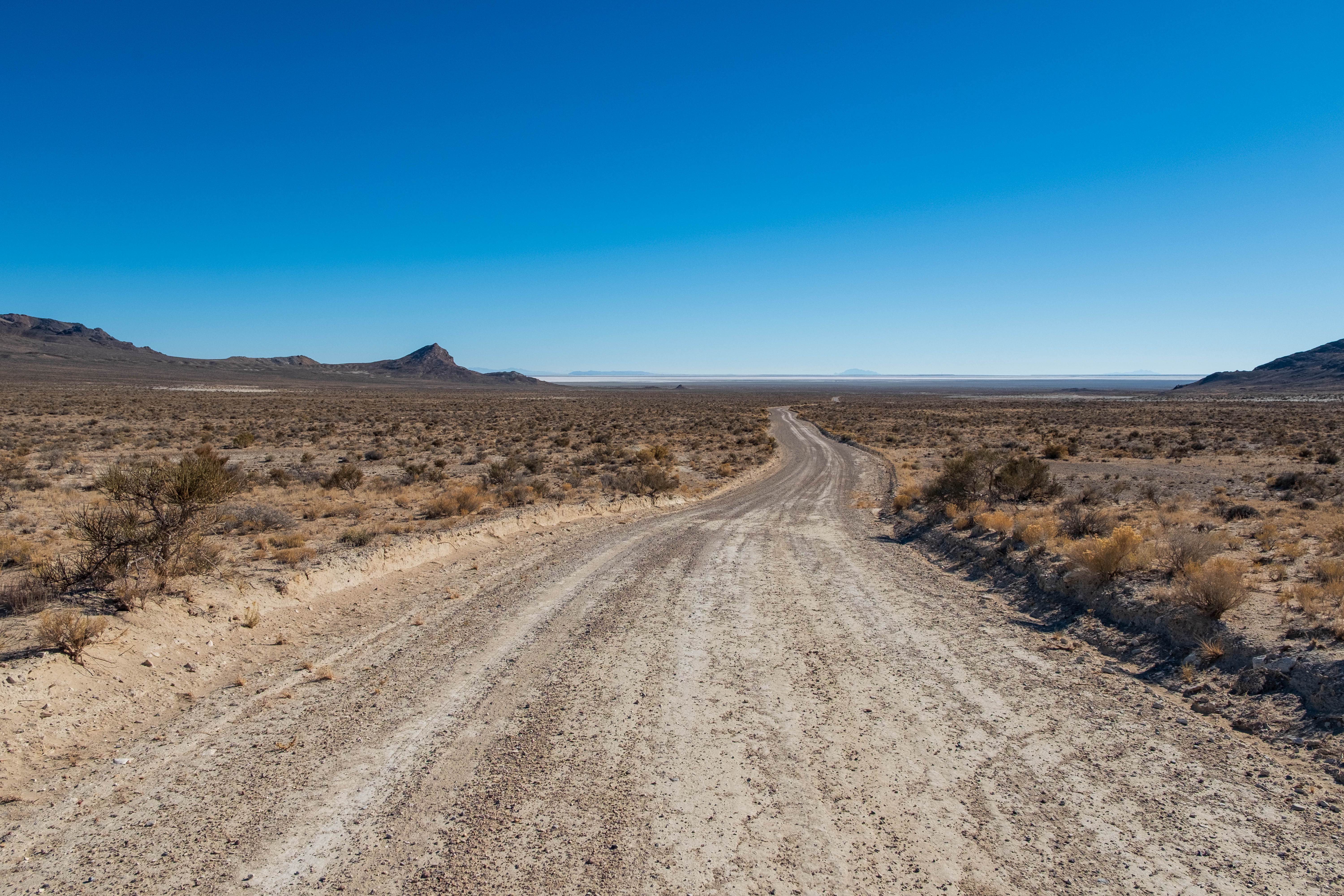
Silver Island Pass
Total Miles
4.1
Tech Rating
Easy
Best Time
Spring, Summer, Fall, Winter
Learn more about Silver Meadows - FS 70174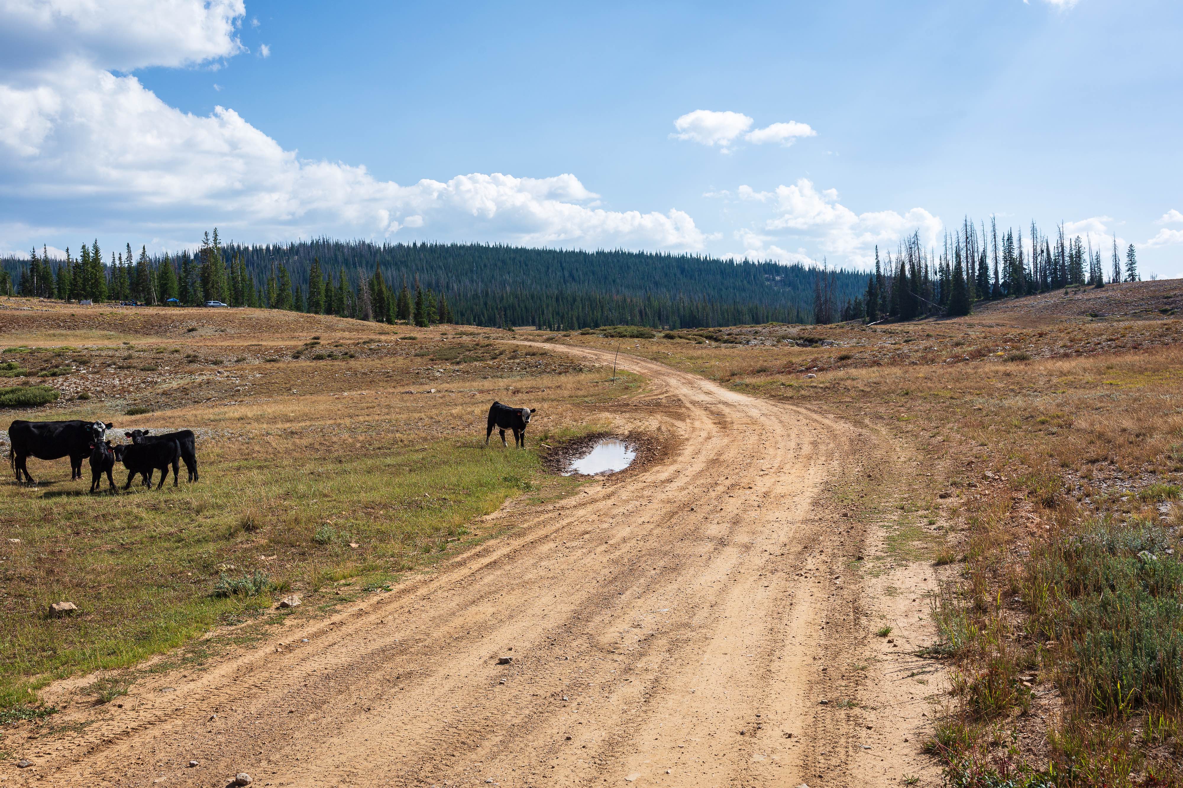
Silver Meadows - FS 70174
Total Miles
7.5
Tech Rating
Easy
Best Time
Summer, Fall
Learn more about Silver Pass Road
Silver Pass Road
Total Miles
4.9
Tech Rating
Easy
Best Time
Spring, Summer, Fall
Learn more about Silver Reef - Leeds Canyon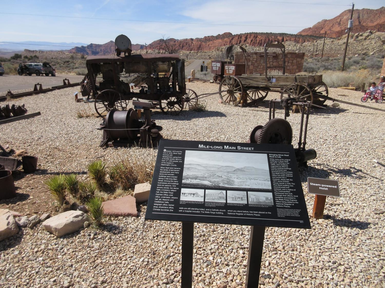
Silver Reef - Leeds Canyon
Total Miles
7.9
Tech Rating
Easy
Best Time
Spring, Summer, Fall, Winter
Learn more about Simpson Springs-Death Canyon Road
Simpson Springs-Death Canyon Road
Total Miles
11.4
Tech Rating
Easy
Best Time
Summer, Fall, Winter, Spring
Learn more about Sinbad Valley Arch and Petroglyphs Loop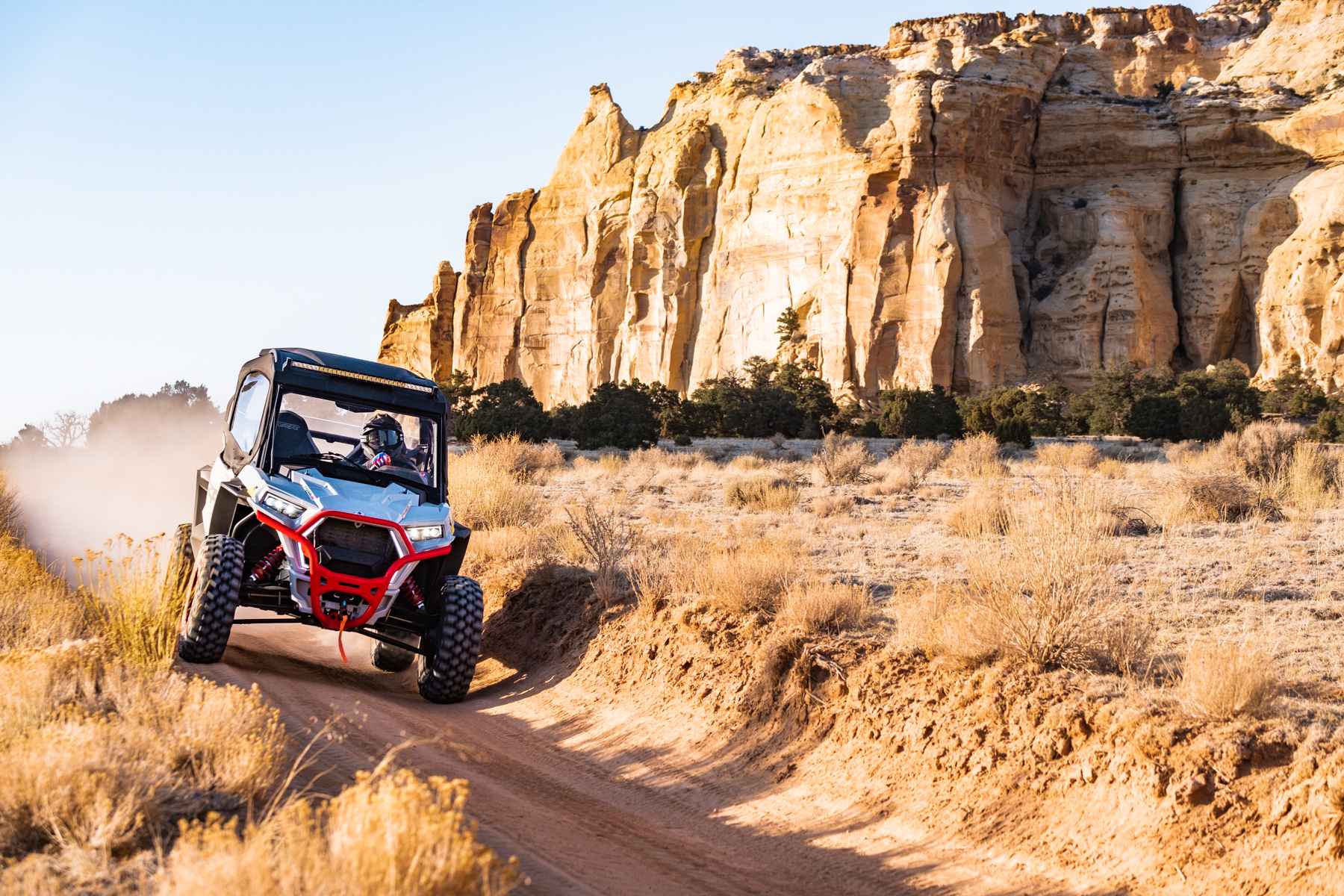
Sinbad Valley Arch and Petroglyphs Loop
Total Miles
11.0
Tech Rating
Easy
Best Time
Spring, Fall
Learn more about Sit Down Bench Trail BLM 320
Sit Down Bench Trail BLM 320
Total Miles
17.7
Tech Rating
Easy
Best Time
Spring, Summer, Fall, Winter
Learn more about Six Mile Road
Six Mile Road
Total Miles
10.1
Tech Rating
Easy
Best Time
Spring, Summer, Winter, Fall
Learn more about Six Patch Draw (FS 41234)
Six Patch Draw (FS 41234)
Total Miles
1.5
Tech Rating
Easy
Best Time
Spring, Summer, Fall
Learn more about Six Patch Draw North (FS 41182)
Six Patch Draw North (FS 41182)
Total Miles
1.1
Tech Rating
Easy
Best Time
Spring, Summer, Fall
Learn more about Sixth Water Divide #014
Sixth Water Divide #014
Total Miles
1.6
Tech Rating
Easy
Best Time
Spring, Summer, Fall
ATV trails in Utah

Learn more about 14 Mile Road
14 Mile Road
Total Miles
14.7
Tech Rating
Easy
Best Time
Spring, Summer, Fall, Winter


UTV/side-by-side trails in Utah
Learn more about 14 Mile Road
14 Mile Road
Total Miles
14.7
Tech Rating
Easy
Best Time
Spring, Summer, Fall, Winter
The onX Offroad Difference
onX Offroad combines trail photos, descriptions, difficulty ratings, width restrictions, seasonality, and more in a user-friendly interface. Available on all devices, with offline access and full compatibility with CarPlay and Android Auto. Discover what you’re missing today!