Six Patch Draw (FS 41234)
Total Miles
1.5
Technical Rating
Best Time
Spring, Summer, Fall
Trail Type
High-Clearance 4x4 Trail
Accessible By
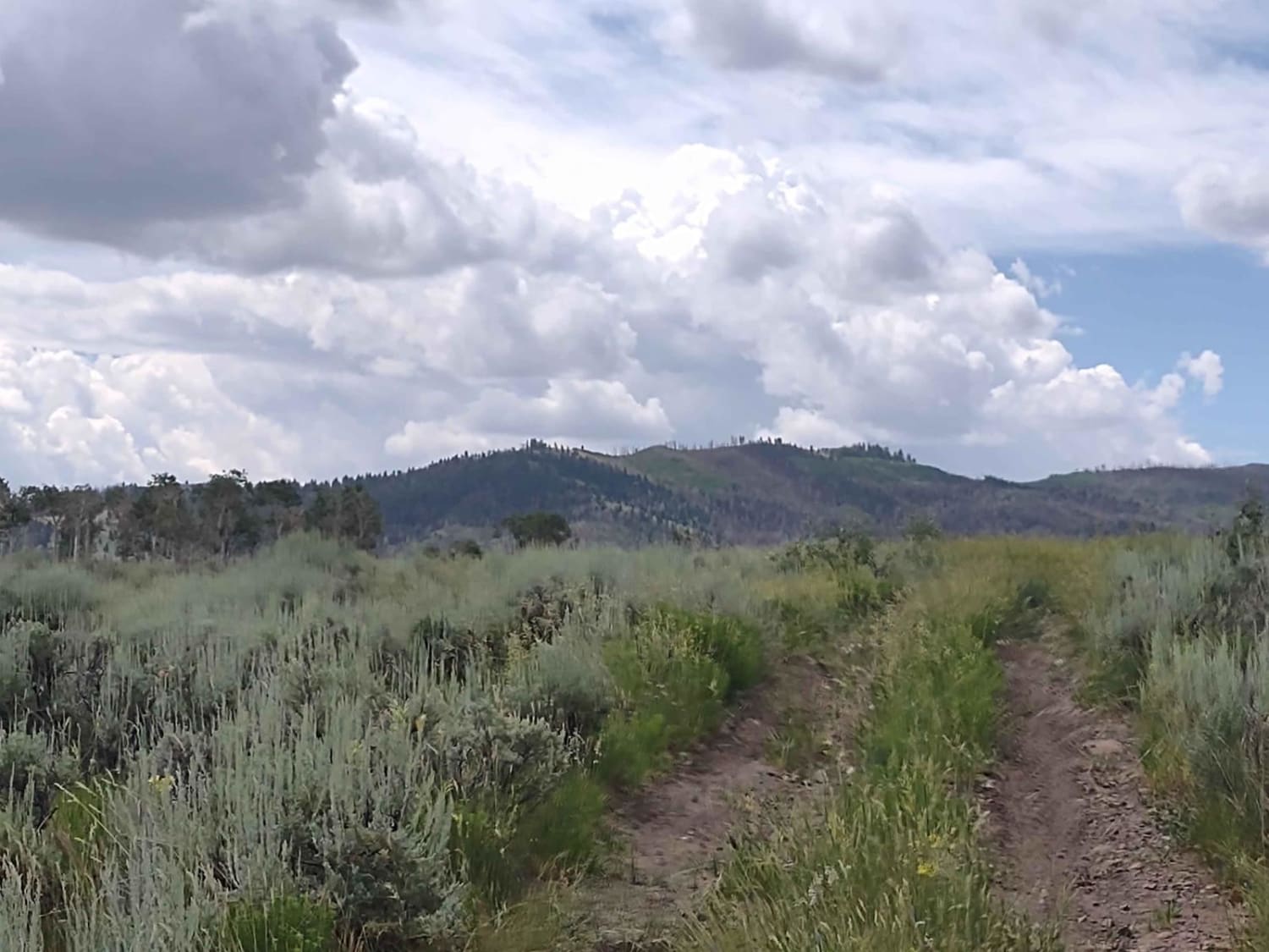
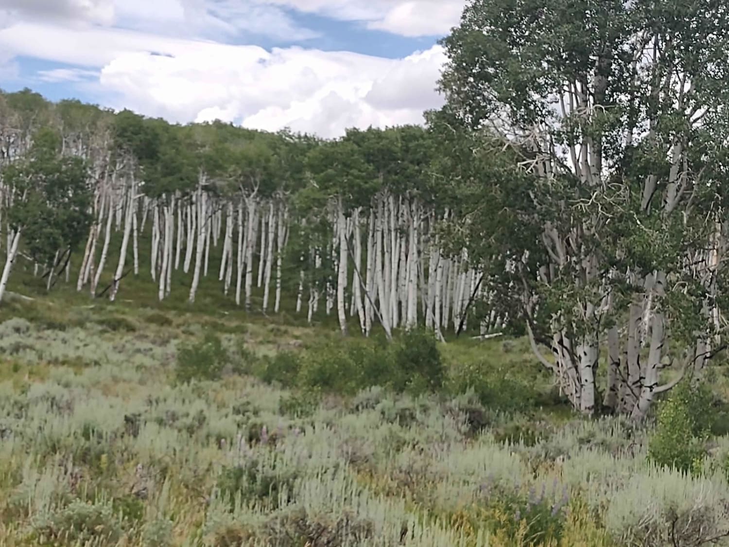
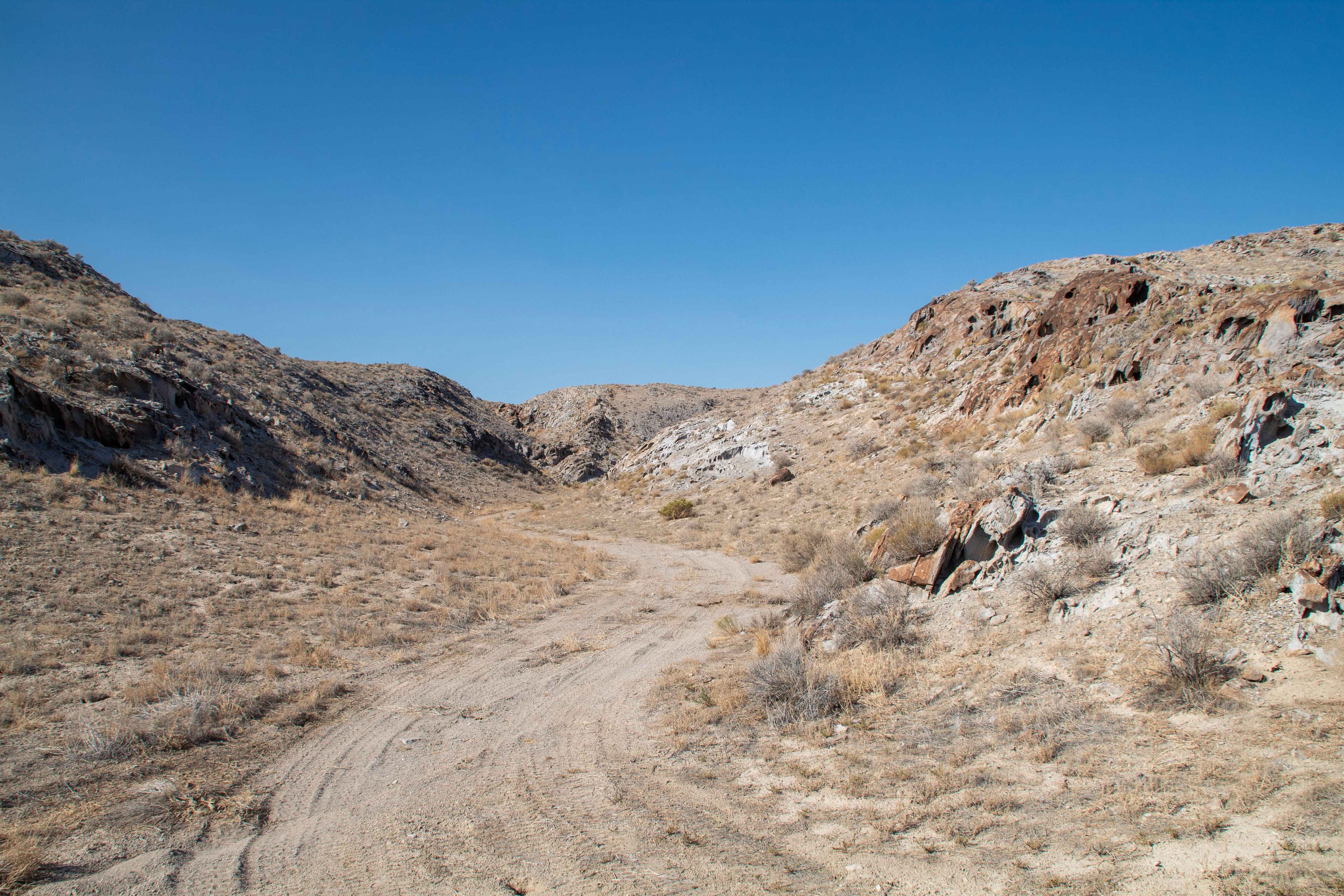
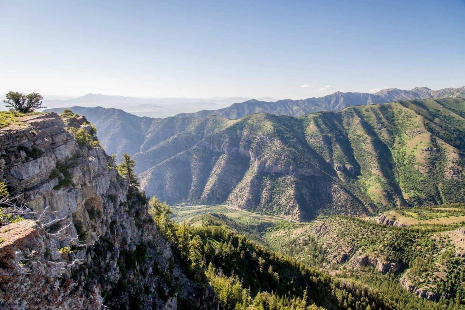
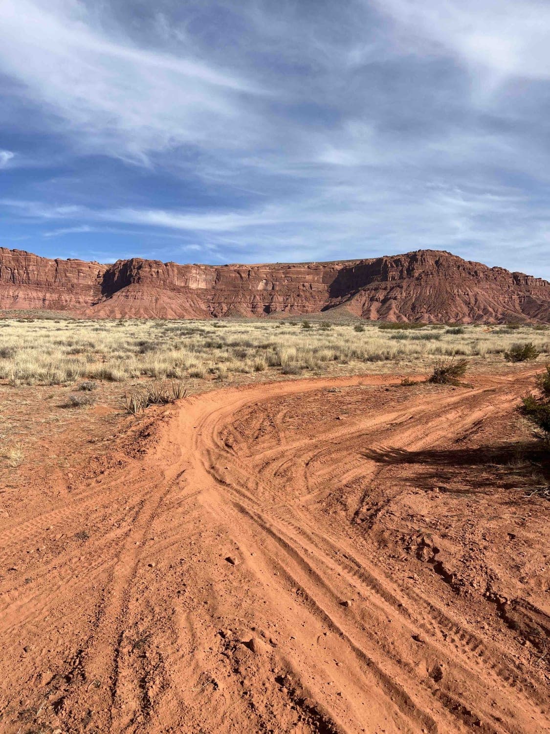
Trail Overview
Six Patch Draw runs basically north and south across the Sevier Plateau in the Fishlake National Forest. It connects on the north end with the Paiute ATV Trail Dry Creek Monroe Mountains Loop. That is marked as a 50-inch trail, but it is full width between the north end of this trail and FS 41181, which is also full width. The 50-inch trail may be truly only for 50-inch vehicles in other places, but here it accommodates 72-inch SXSs. On the south end, Six Patch Draw drops out onto another full-width trail called Dry Creek-Box Creek Interconnect. This is an easy trail to get away from the crowds, the traffic, and the dust on the main Paiute trails. It's a nice place to picnic or camp and a good location for seeing elk and deer, especially in the early morning or late afternoon. The trail has minimal erosion, and the rocks are 12 inches or less and completely manageable if you have good ground clearance.
Photos of Six Patch Draw (FS 41234)
Difficulty
There is minimal erosion and the rocks are not difficult to manage.
Status Reports
Six Patch Draw (FS 41234) can be accessed by the following ride types:
- High-Clearance 4x4
- SxS (60")
- ATV (50")
- Dirt Bike
Six Patch Draw (FS 41234) Map
Popular Trails
Smelter Knolls Wash
Mount Logan Right Hand Fork
Valley Turn Track
Smoky Mountain Road North BLM 300
The onX Offroad Difference
onX Offroad combines trail photos, descriptions, difficulty ratings, width restrictions, seasonality, and more in a user-friendly interface. Available on all devices, with offline access and full compatibility with CarPlay and Android Auto. Discover what you’re missing today!