Off-Road Trails in Utah
Discover off-road trails in Utah
Learn more about Salt Wash Trail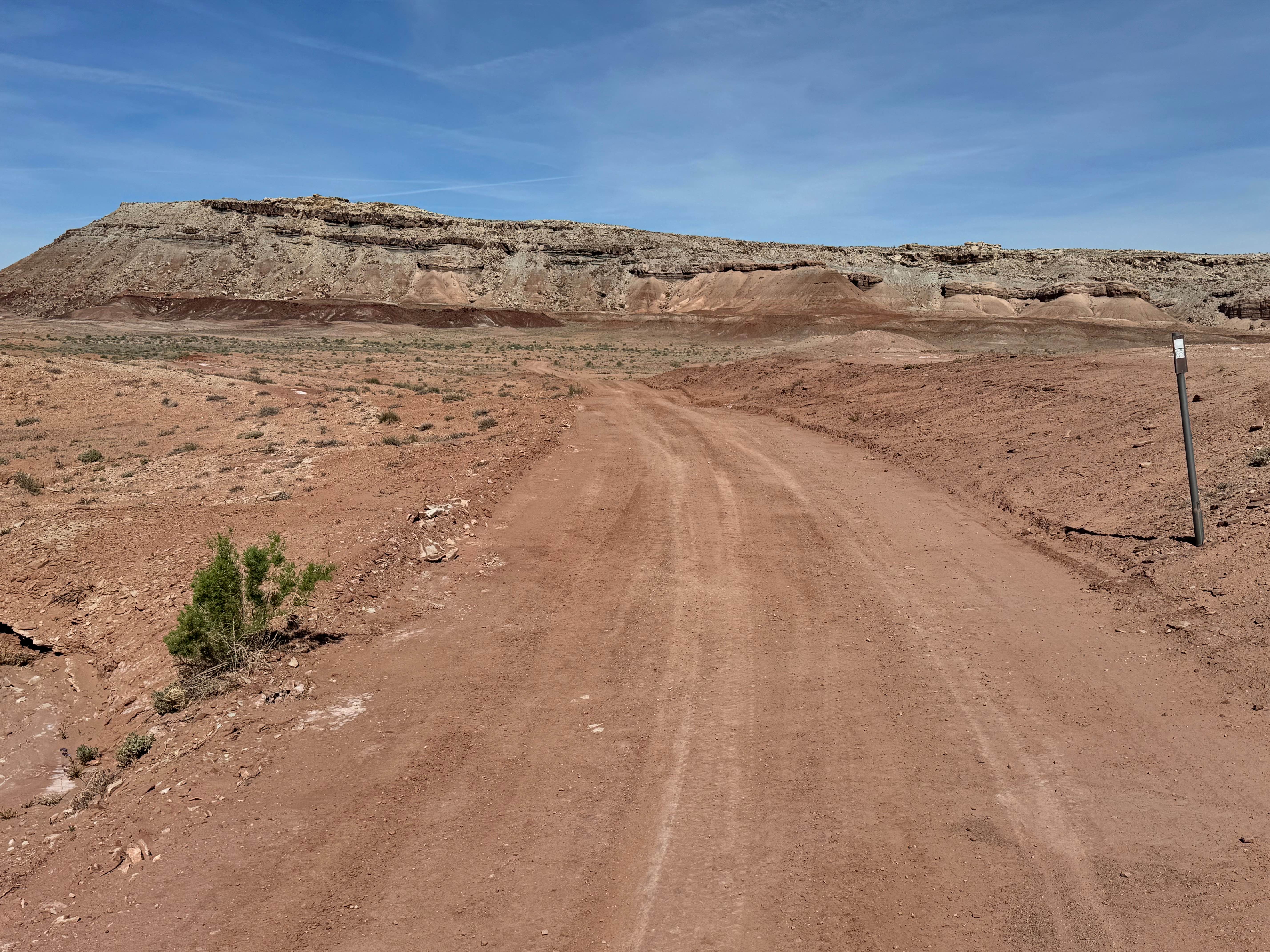
Salt Wash Trail
Total Miles
2.4
Tech Rating
Easy
Best Time
Spring, Summer, Fall
Learn more about Salt Washington North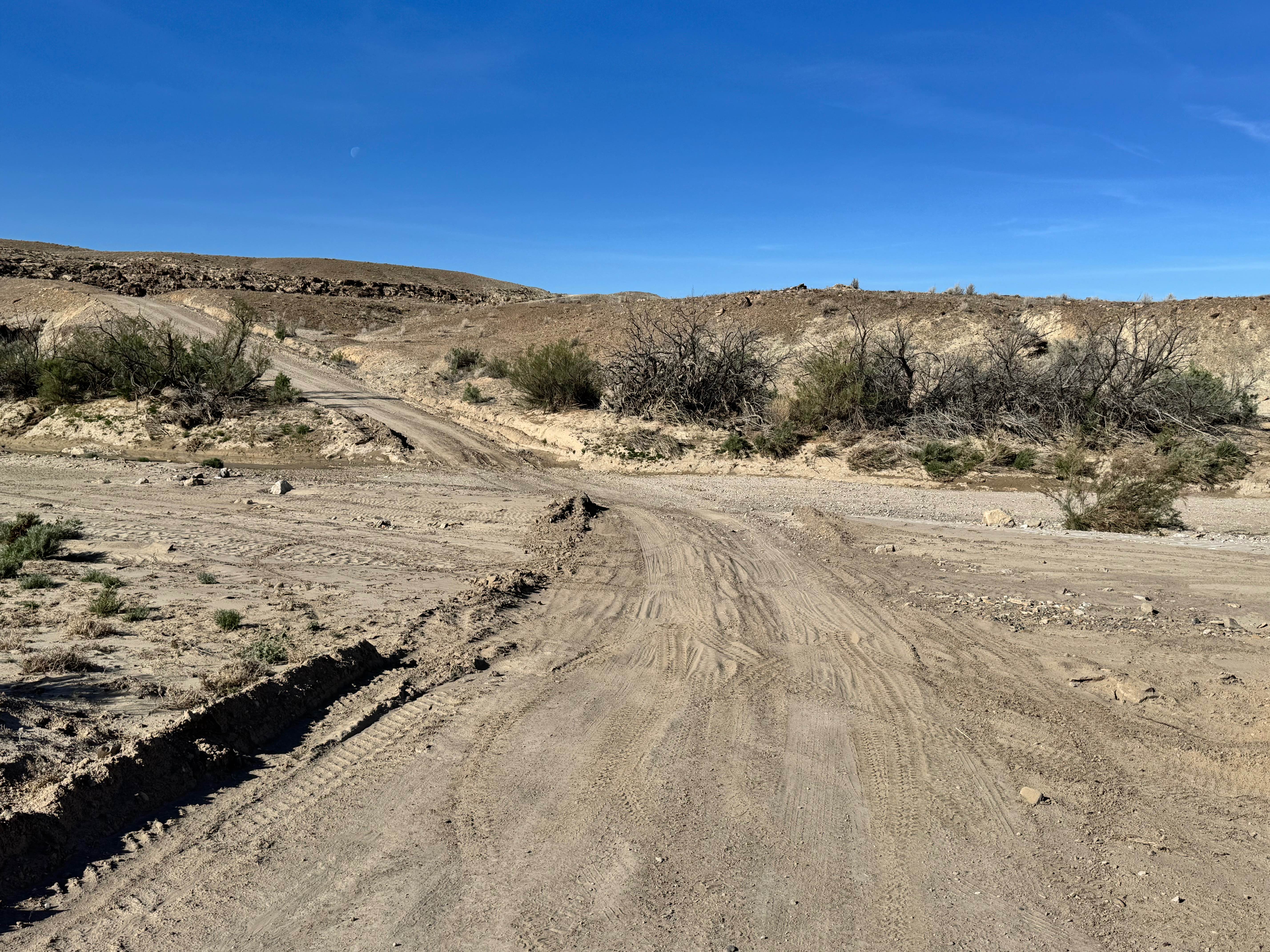
Salt Washington North
Total Miles
7.8
Tech Rating
Easy
Best Time
Spring, Summer, Fall, Winter
Learn more about Salty Overlook
Salty Overlook
Total Miles
0.5
Tech Rating
Moderate
Best Time
Spring, Summer, Fall
Learn more about Samps Hollow Overlook (FR 721)
Samps Hollow Overlook (FR 721)
Total Miles
0.6
Tech Rating
Moderate
Best Time
Summer, Fall
Learn more about Sampsonite
Sampsonite
Total Miles
3.6
Tech Rating
Moderate
Best Time
Spring, Fall, Winter, Summer
Learn more about San Rafael 9130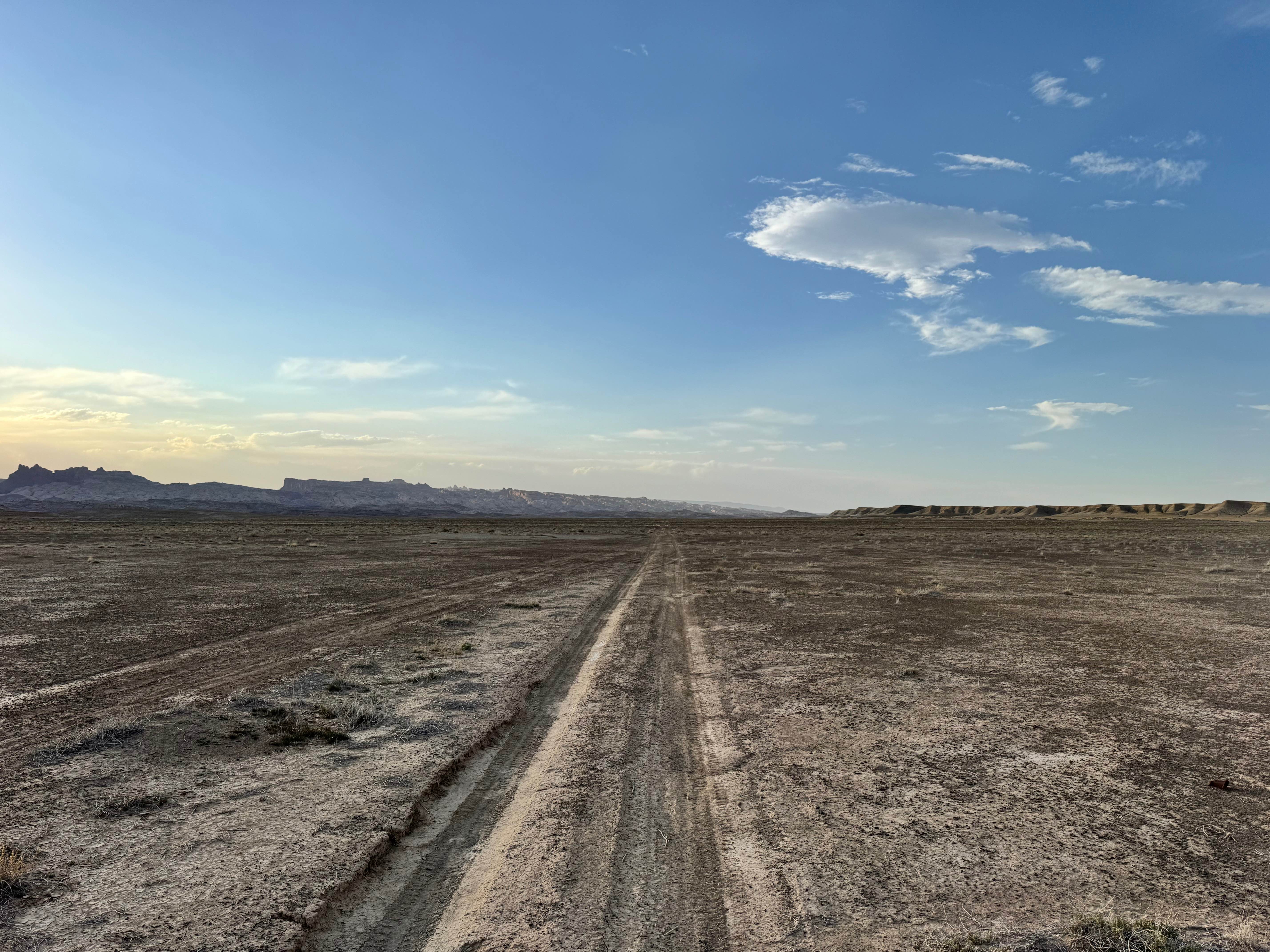
San Rafael 9130
Total Miles
6.5
Tech Rating
Easy
Best Time
Spring, Summer, Fall, Winter
Learn more about San Rafael River Road
San Rafael River Road
Total Miles
13.9
Tech Rating
Easy
Best Time
Spring, Summer, Fall
Learn more about Sand Bar Loop
Sand Bar Loop
Total Miles
2.7
Tech Rating
Moderate
Best Time
Spring, Summer, Fall, Winter
Learn more about Sand Dune Gulch-Vernal
Sand Dune Gulch-Vernal
Total Miles
2.7
Tech Rating
Difficult
Best Time
Spring, Summer, Fall, Winter
Learn more about Sand Flats Road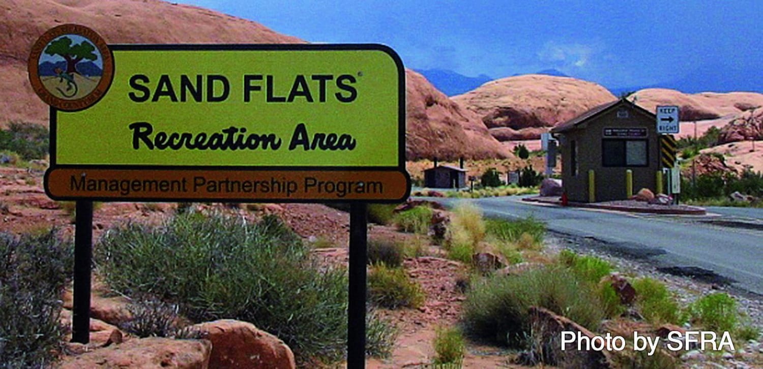
Sand Flats Road
Total Miles
17.6
Tech Rating
Easy
Best Time
Spring, Summer, Fall
Learn more about Sand Mountain via Warner Valley
Sand Mountain via Warner Valley
Total Miles
4.4
Tech Rating
Easy
Best Time
Spring, Summer, Fall, Winter
Learn more about Sand Rock Ridge Road/PST 03B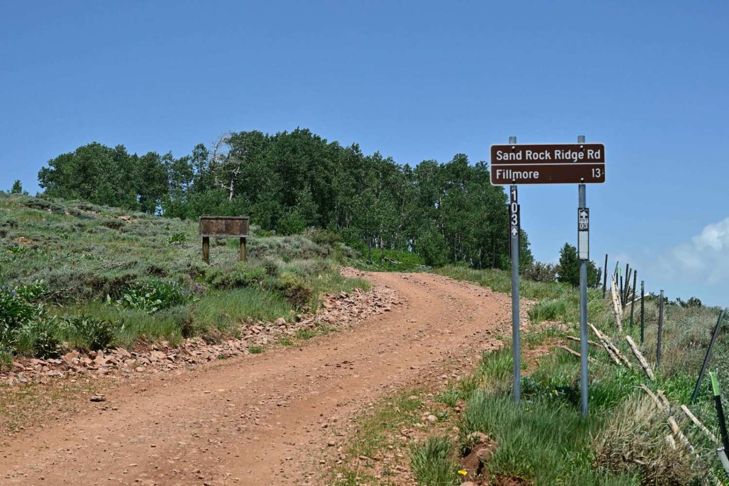
Sand Rock Ridge Road/PST 03B
Total Miles
12.1
Tech Rating
Easy
Best Time
Spring, Summer, Fall
Learn more about Sand Spring Road (BLM050)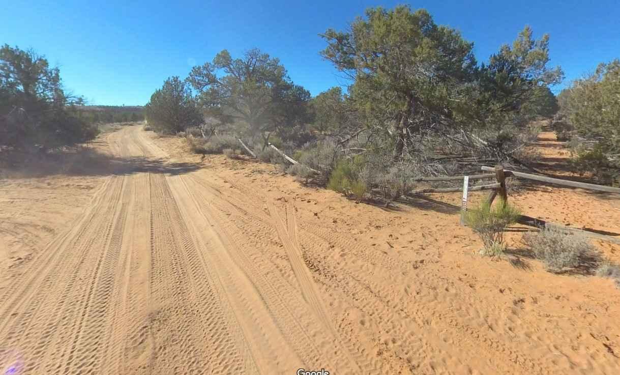
Sand Spring Road (BLM050)
Total Miles
5.3
Tech Rating
Easy
Best Time
Spring, Summer, Fall, Winter
Learn more about Sand Spring Road-Old Spanish Trail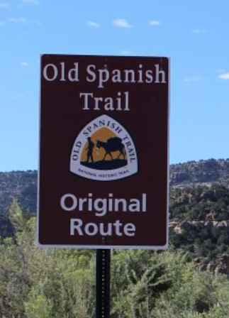
Sand Spring Road-Old Spanish Trail
Total Miles
5.0
Tech Rating
Easy
Best Time
Spring, Summer, Fall, Winter
Learn more about Sand Surfer
Sand Surfer
Total Miles
3.5
Tech Rating
Moderate
Best Time
Spring, Summer, Fall, Winter
Learn more about Sand Well Loop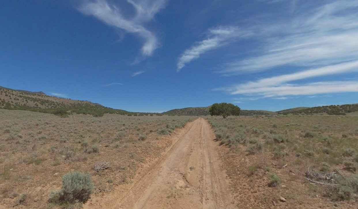
Sand Well Loop
Total Miles
1.9
Tech Rating
Easy
Best Time
Spring, Summer, Fall, Winter
Learn more about Sand/Lamb Point Loop Road (BLM05)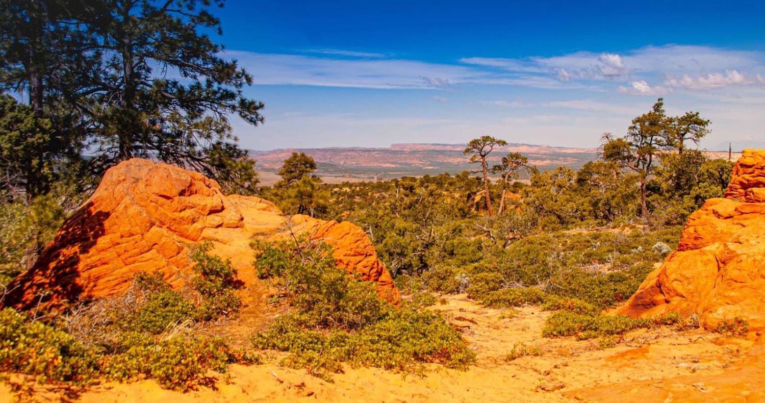
Sand/Lamb Point Loop Road (BLM05)
Total Miles
8.5
Tech Rating
Moderate
Best Time
Spring, Summer, Fall, Winter
Learn more about Sandy Bottoms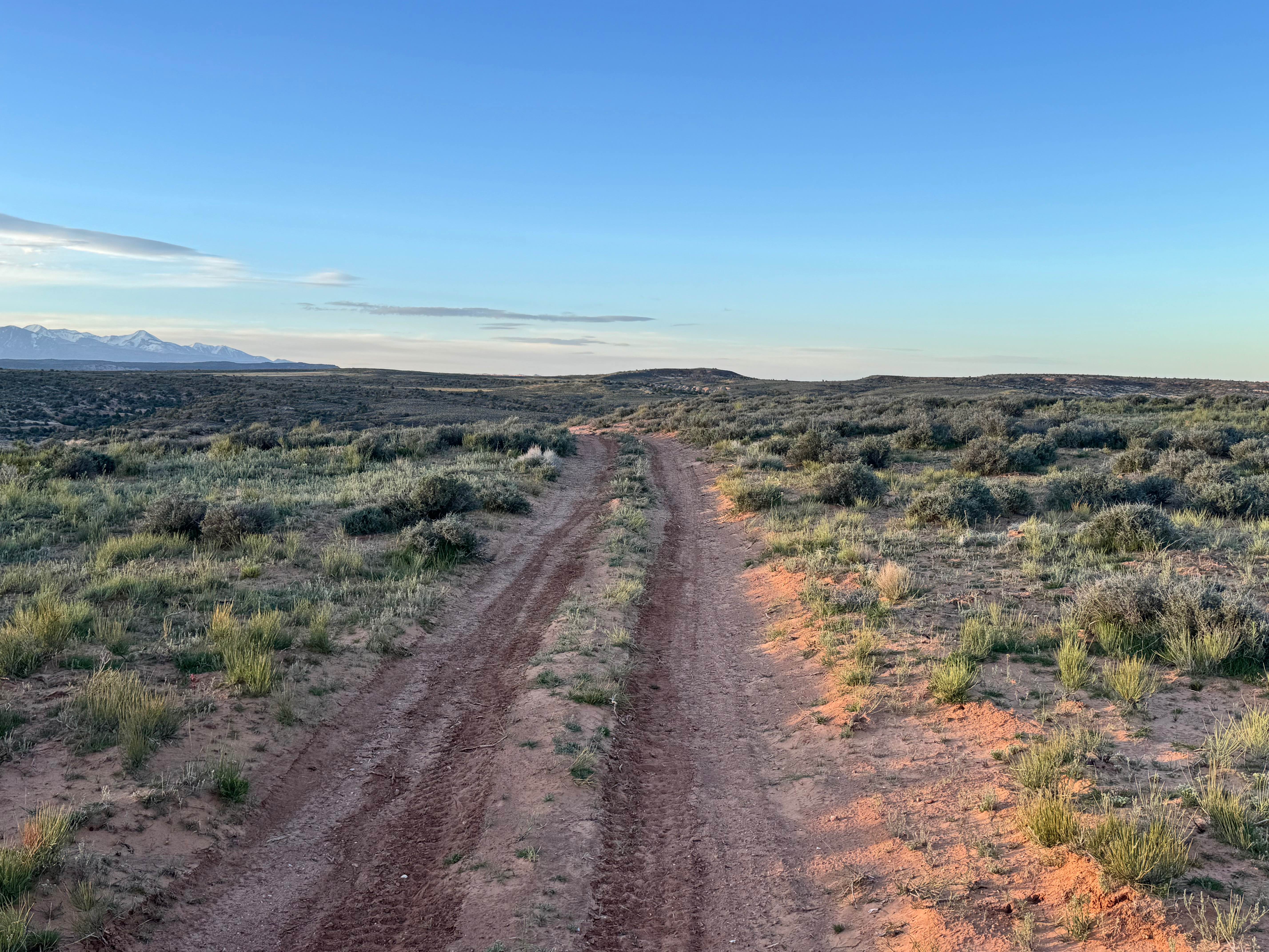
Sandy Bottoms
Total Miles
2.5
Tech Rating
Easy
Best Time
Spring, Summer, Fall, Winter
Learn more about Sandy Caddy Creek Loop
Sandy Caddy Creek Loop
Total Miles
14.7
Tech Rating
Easy
Best Time
Spring, Summer, Fall
Learn more about Sandy Grand Prix (BLM 104C)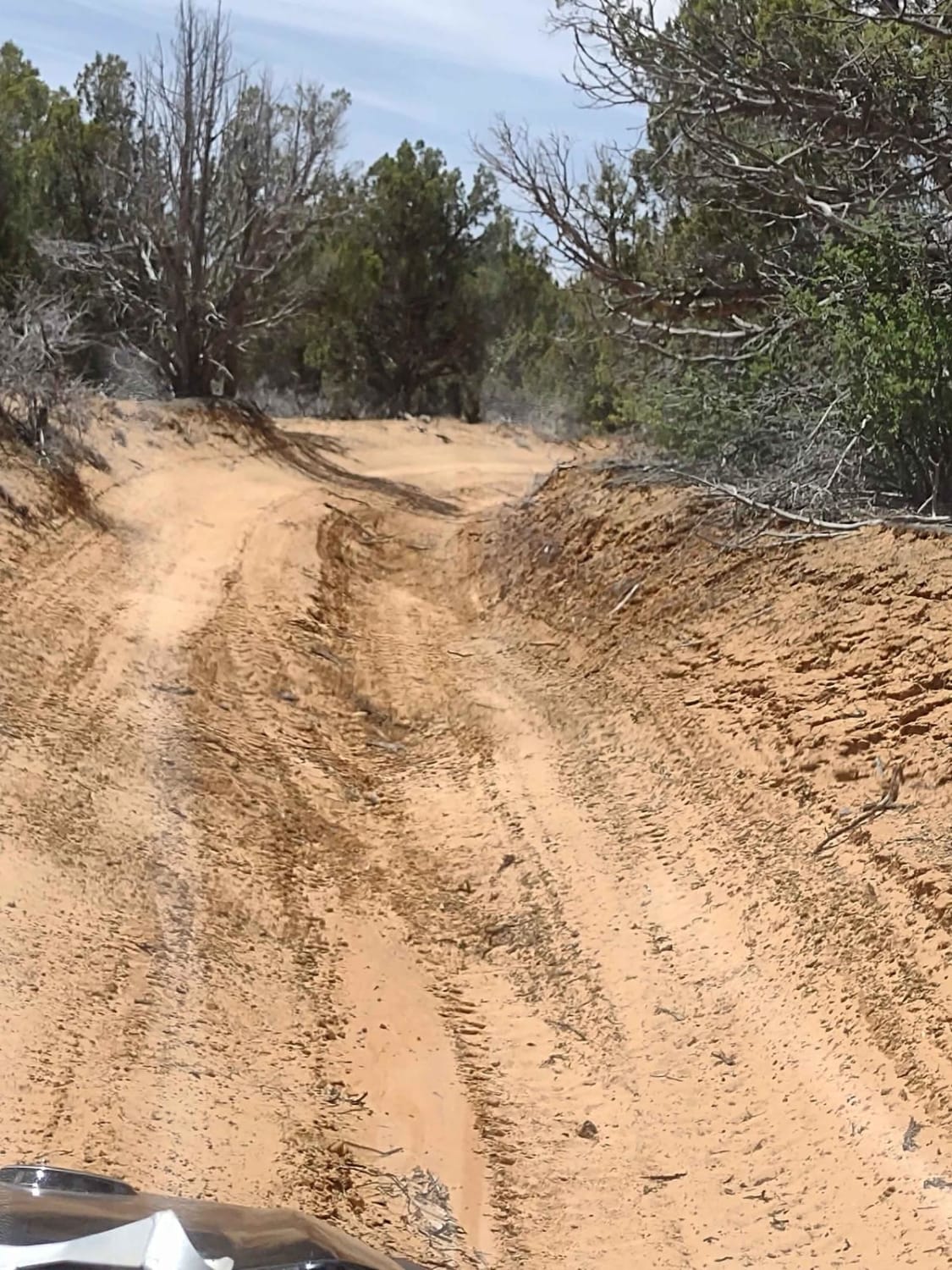
Sandy Grand Prix (BLM 104C)
Total Miles
6.1
Tech Rating
Easy
Best Time
Spring, Summer, Fall
ATV trails in Utah

Learn more about 14 Mile Road
14 Mile Road
Total Miles
14.7
Tech Rating
Easy
Best Time
Spring, Summer, Fall, Winter


UTV/side-by-side trails in Utah
Learn more about 14 Mile Road
14 Mile Road
Total Miles
14.7
Tech Rating
Easy
Best Time
Spring, Summer, Fall, Winter
The onX Offroad Difference
onX Offroad combines trail photos, descriptions, difficulty ratings, width restrictions, seasonality, and more in a user-friendly interface. Available on all devices, with offline access and full compatibility with CarPlay and Android Auto. Discover what you’re missing today!