Sandy Caddy Creek Loop
Total Miles
14.7
Technical Rating
Best Time
Spring, Summer, Fall
Trail Type
Full-Width Road
Accessible By
Trail Overview
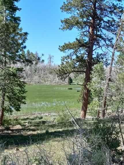
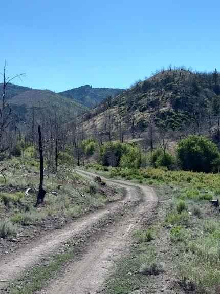
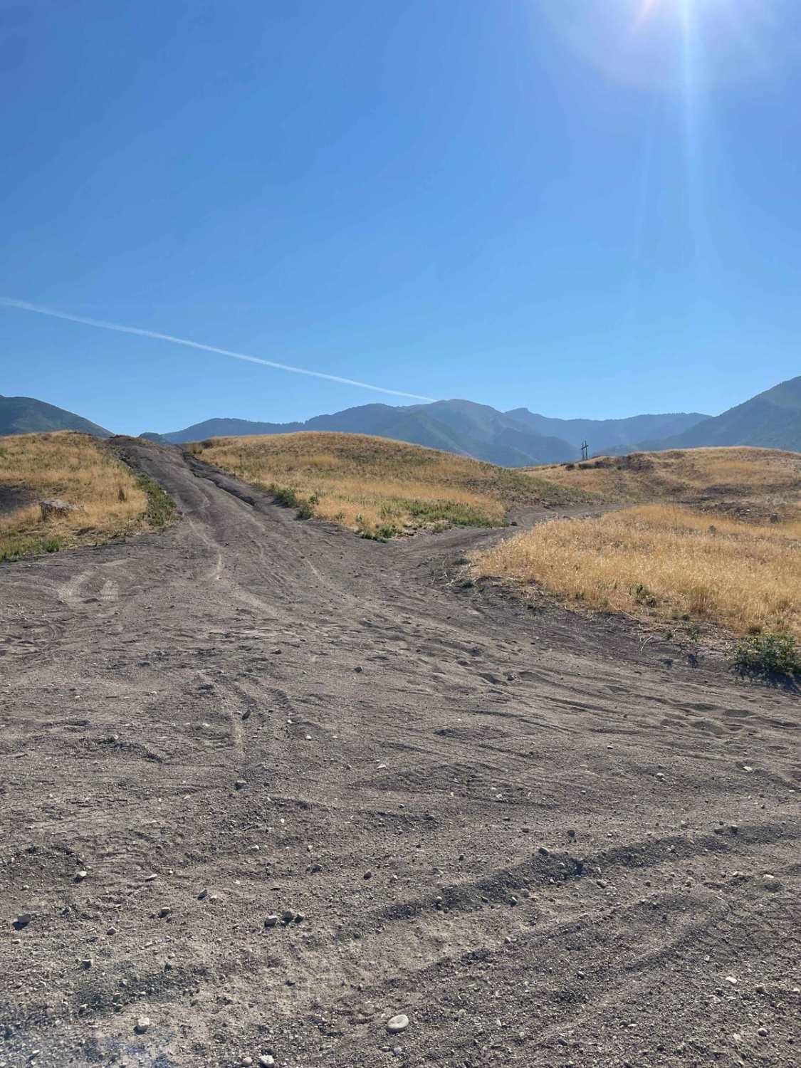
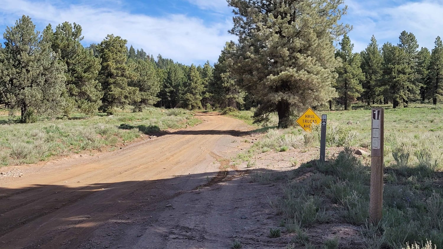
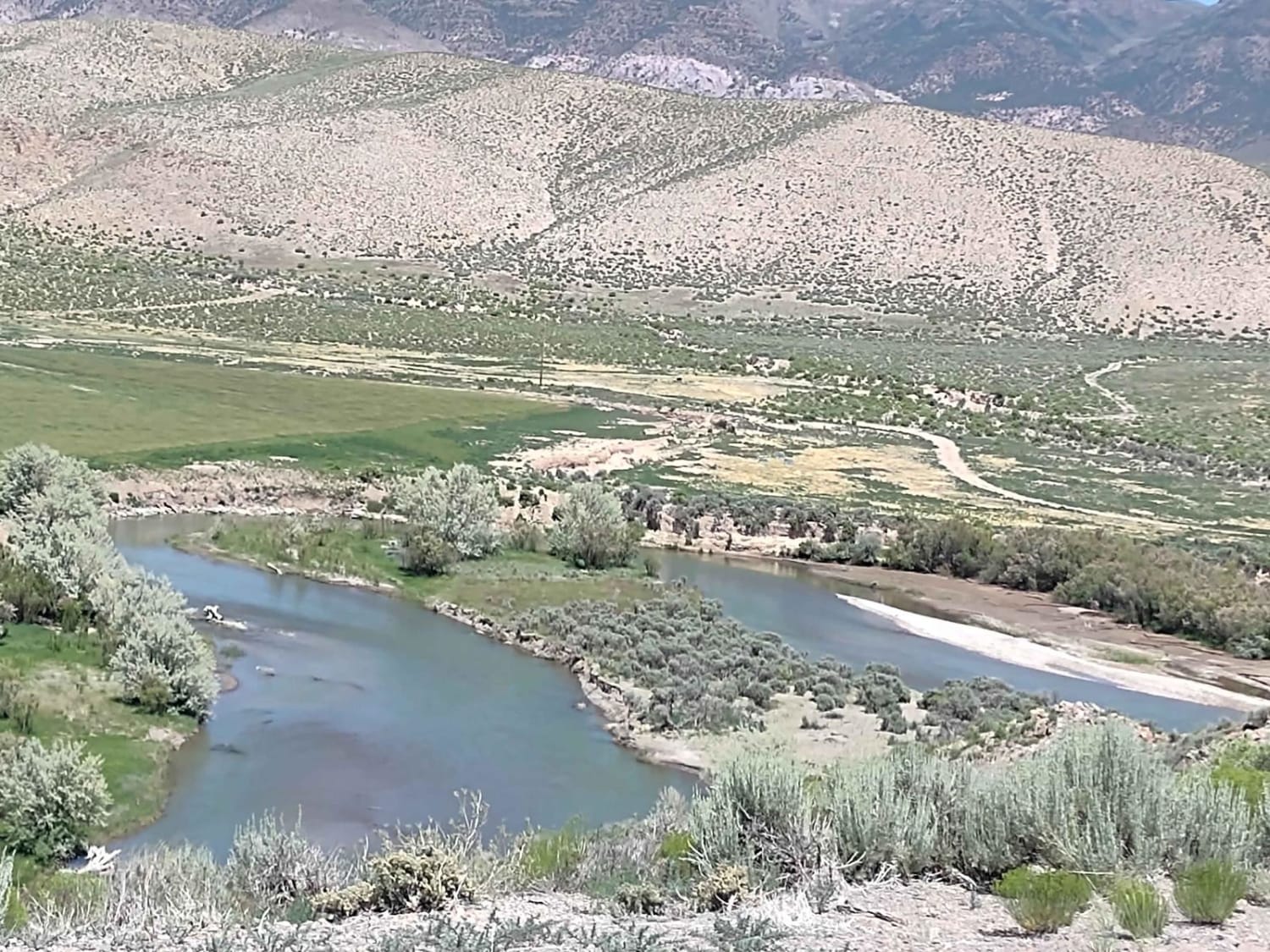
Sandy Caddy Creek Loop starts as a class 2 trail that winds up to a view to overlooks the town of Panguitch, Utah. The trails continue traveling on top of the mountain top and turn to a class 3 as you entire rock fields. You'll begin to traverse down from the top of the mountain and turn left to continue on Sandy Caddy Creek Loop. A warning was placed at one portion of the trail stating that a creek had washed the trail causing difficult obstacles. The trail is lined with some beautiful quaking aspen trees that have superb color in the fall and it's a common connector to other trails in the area. There are deer and other wildlife nearby, including cattle, so keep your eyes peeled. The trail exits in the town of Panguitch, Utah, where you can grab gas, food, or any other necessities.
Photos of Sandy Caddy Creek Loop
Difficulty
Trail can range from class 2 through a class 3. There are rock gardens on top of the mountain and as you reach the bottom of mountain, the creeks have washed some areas out, causing some difficult situations. The trail narrows in some areas with pitch and rolls.
Sandy Caddy Creek Loop can be accessed by the following ride types:
- High-Clearance 4x4
- SUV
- SxS (60")
- ATV (50")
- Dirt Bike
Sandy Caddy Creek Loop Map
Popular Trails
Pole Canyon Trail
Ponderosa Loop Mini
Sevier River North Overlook

Upper Basin Road
The onX Offroad Difference
onX Offroad combines trail photos, descriptions, difficulty ratings, width restrictions, seasonality, and more in a user-friendly interface. Available on all devices, with offline access and full compatibility with CarPlay and Android Auto. Discover what you’re missing today!