Off-Road Trails in Utah
Discover off-road trails in Utah
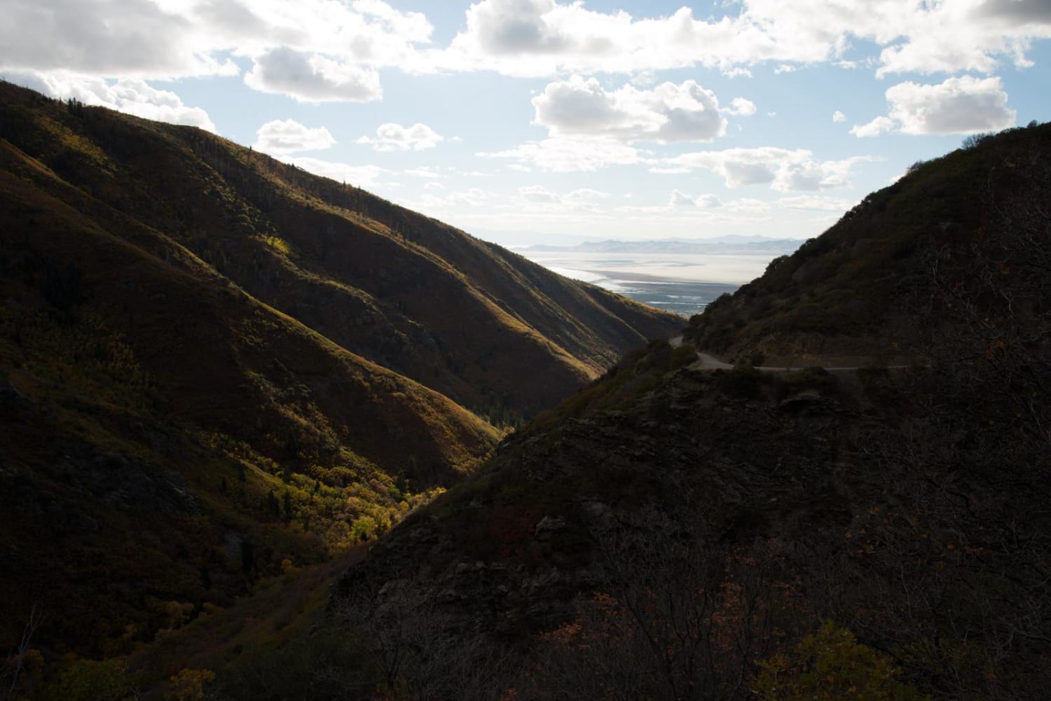
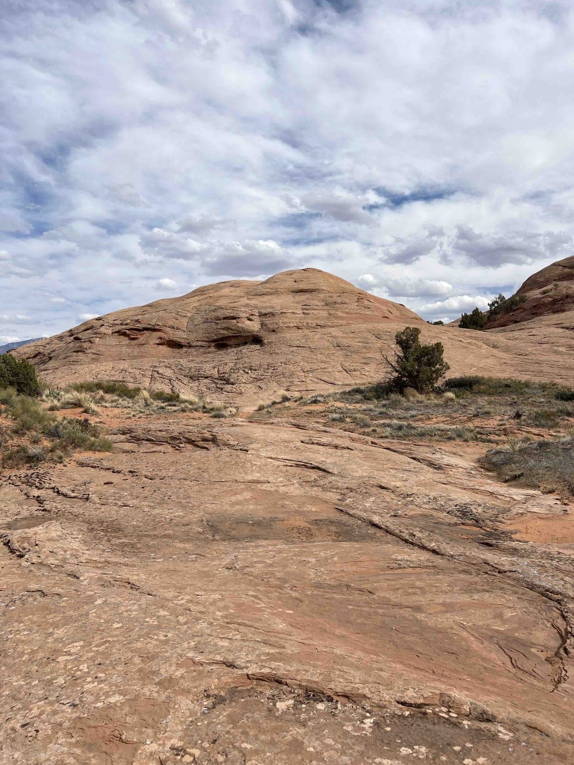
Learn more about Skull Canyon 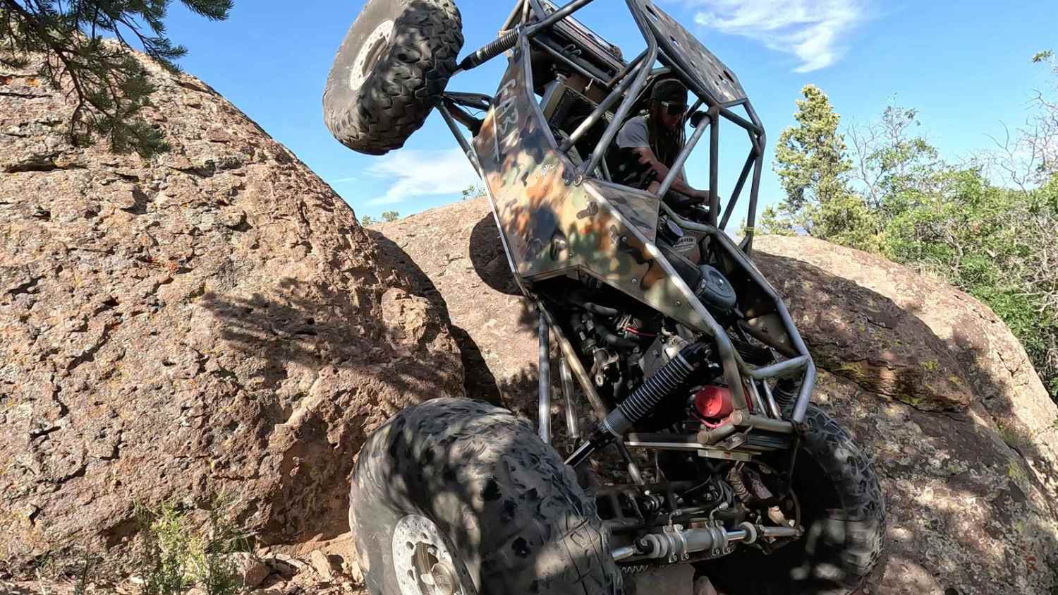
Skull Canyon
Total Miles
1.1
Tech Rating
Difficult
Best Time
Spring, Summer, Fall
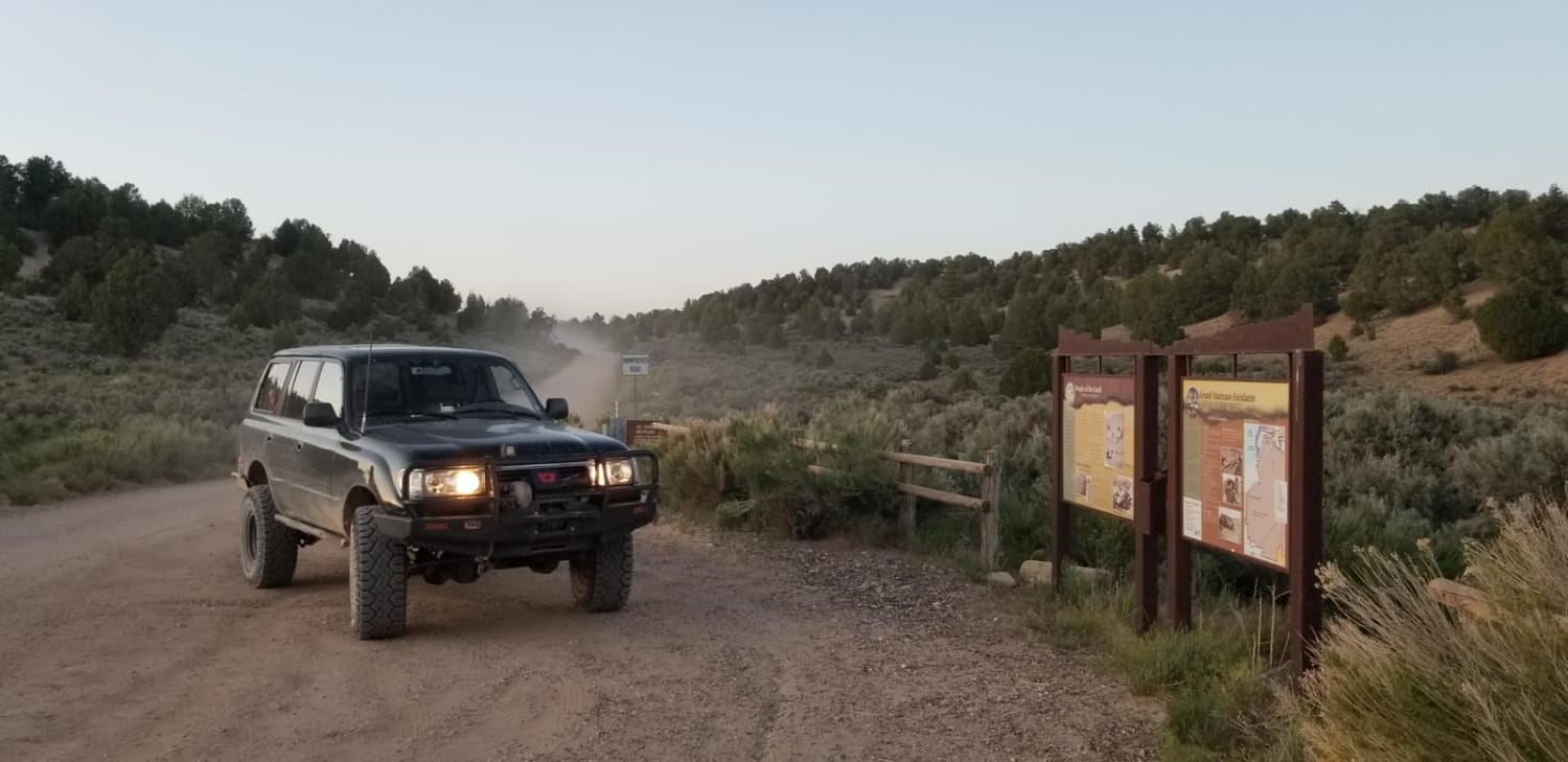
Learn more about Skutumpah Road North BLM 500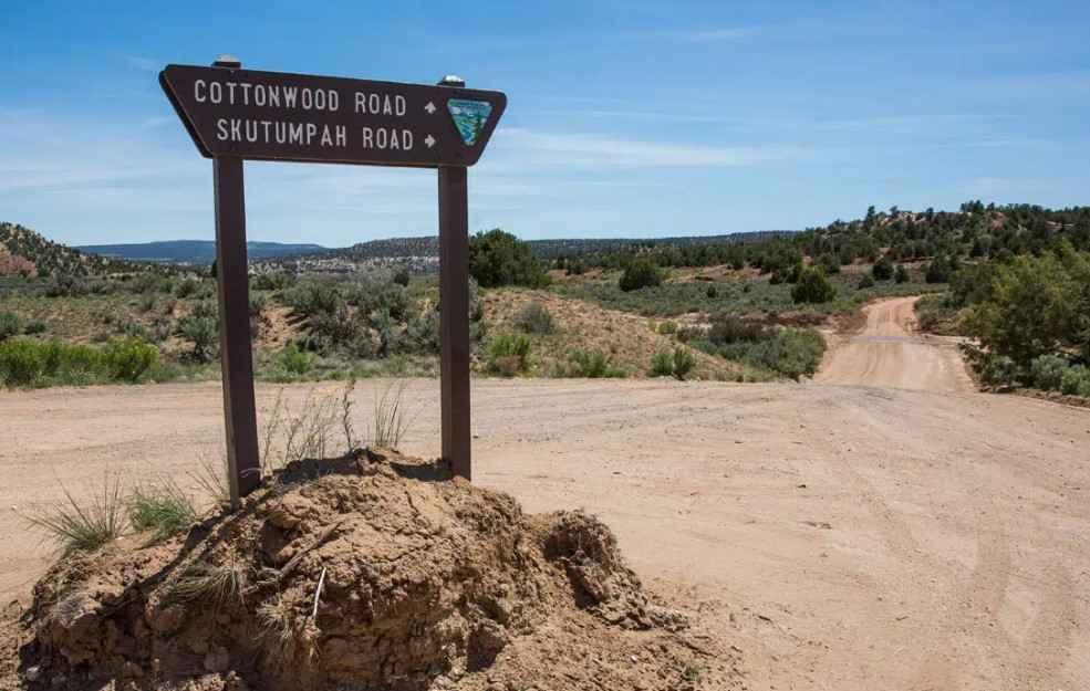
Skutumpah Road North BLM 500
Total Miles
11.9
Tech Rating
Easy
Best Time
Spring, Summer, Fall, Winter
Learn more about Sky Ranch Overlook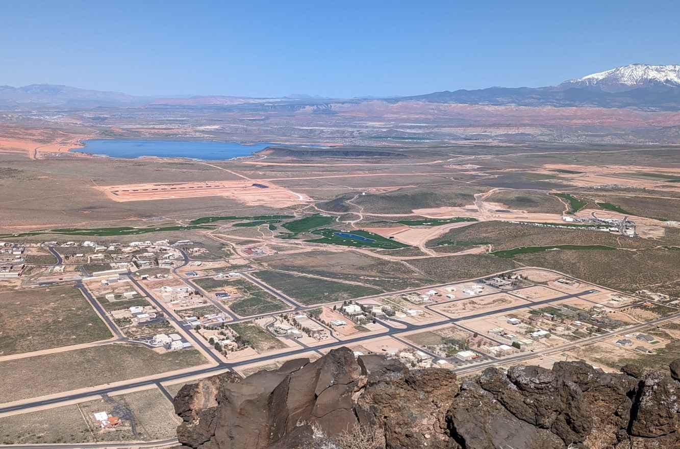
Sky Ranch Overlook
Total Miles
1.1
Tech Rating
Easy
Best Time
Spring, Summer, Fall, Winter
Learn more about Skyline Drive North
Skyline Drive North
Total Miles
17.3
Tech Rating
Easy
Best Time
Summer, Fall
Learn more about Skyline Drive South
Skyline Drive South
Total Miles
8.5
Tech Rating
Easy
Best Time
Summer, Fall
Learn more about Skyline Drive/FR50150
Skyline Drive/FR50150
Total Miles
9.3
Tech Rating
Easy
Best Time
Spring, Summer, Fall
Learn more about Skyline North Trail
Skyline North Trail
Total Miles
10.1
Tech Rating
Difficult
Best Time
Fall
Learn more about Skyline South (6002)
Skyline South (6002)
Total Miles
9.5
Tech Rating
Moderate
Best Time
Summer, Fall
Learn more about Skyline View Road
Skyline View Road
Total Miles
1.8
Tech Rating
Easy
Best Time
Spring, Fall, Winter, Summer
Learn more about Slickrock 4
Slickrock 4
Total Miles
0.4
Tech Rating
Moderate
Best Time
Spring, Summer, Fall
Learn more about Slickrock 6
Slickrock 6
Total Miles
0.8
Tech Rating
Moderate
Best Time
Spring, Summer, Fall
ATV trails in Utah

Learn more about 14 Mile Road
14 Mile Road
Total Miles
14.7
Tech Rating
Easy
Best Time
Spring, Summer, Fall, Winter


UTV/side-by-side trails in Utah
Learn more about 14 Mile Road
14 Mile Road
Total Miles
14.7
Tech Rating
Easy
Best Time
Spring, Summer, Fall, Winter
The onX Offroad Difference
onX Offroad combines trail photos, descriptions, difficulty ratings, width restrictions, seasonality, and more in a user-friendly interface. Available on all devices, with offline access and full compatibility with CarPlay and Android Auto. Discover what you’re missing today!