Skutumpah Road North BLM 500
Total Miles
11.9
Technical Rating
Best Time
Spring, Summer, Fall, Winter
Trail Type
Full-Width Road
Accessible By
Trail Overview
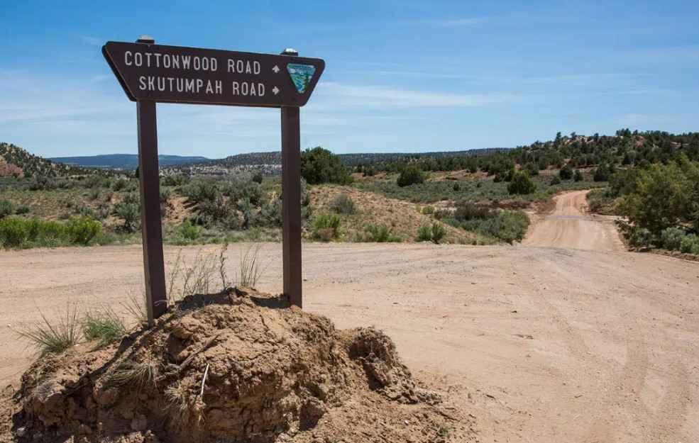
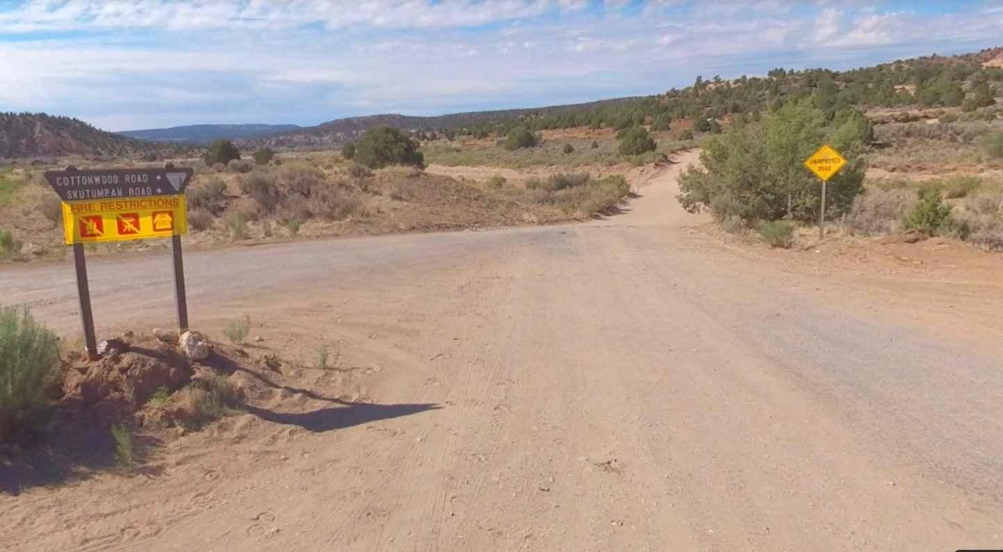
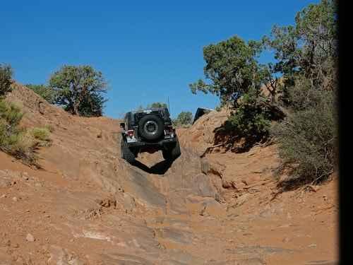
Skutumpah Road North BLM 500 is an 11.8-mile point-to-point gravel and dirt road that is rated 3 out of 10. The northern section of this road starts at Deer Range Road BLM 540 on the west and ends at Cottonwood Canyon Road on the east. Skutumpah Road (pronounced Scoot-um-pah) captures the beauty of the Grand Staircase-Escalante National Monument with the rugged two sections being a 34-mile dirt road that winds past some great slot canyon hiking. This is a destination drive as the eastern end finishes just west of Kodachrome Basin State Park. Along the northern section are two lesser-known hiking trails that offer unique sites and slot canyons. When you pass over a concrete bridge at the Bull Valley Gorge Trailhead, you might want to look around and see if you are able to see the old jeep stuck down in a crevice. The story goes that three men were out poaching one evening in October 1954 when their truck stalled and rolled backward off the old wood bridge and fell into the gorge, killing all three instantly. The bridge is 3.9 miles east of Deer Range Road. 1.8 miles further east is the Willis Canyon Trailhead and parking area. The trailhead is on the south side of the road and is a 3-mile out-and-back hike into a beautiful slot canyon. The road is for the most part two-track but has some steep climbs/descents which when wet or muddy can be very challenging. This area is known for flash floods at the various canyon crossings. The road is well maintained from Kanab to Deer Springs Ranch but 4x4 is a must after that. There is no cellphone coverage along most of the trail and the nearest services are in Cannonville.
Photos of Skutumpah Road North BLM 500
Difficulty
The trail consists of loose rocks, dirt, and sand with some slickrock surfaces and mud holes possible, but no steps higher than 12 inches. 4WD may be required, and aggressive tires are a plus.
History
A bit of pioneer history: Mormon Pioneer John D. Lee was the one who coined the name "Skutumpah," borrowing a Paiute term meaning "an area where rabbit brush grows and squirrels can be found."
Skutumpah Road North BLM 500 can be accessed by the following ride types:
- High-Clearance 4x4
- SUV
- SxS (60")
- ATV (50")
- Dirt Bike
Skutumpah Road North BLM 500 Map
Popular Trails
Upper 2 Mile ATV Trail
Chimney Rock Trail
Poison Spider Mesa

Parker Mountain Trail 14 to Junction Shallow Hollow Road
The onX Offroad Difference
onX Offroad combines trail photos, descriptions, difficulty ratings, width restrictions, seasonality, and more in a user-friendly interface. Available on all devices, with offline access and full compatibility with CarPlay and Android Auto. Discover what you’re missing today!