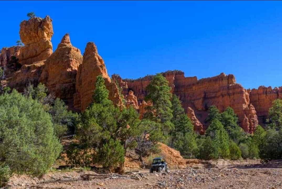
Skutumpah Road
Total Miles
20.8
Technical Rating
Best Time
Summer
Trail Type
Full-Width Road
Accessible By
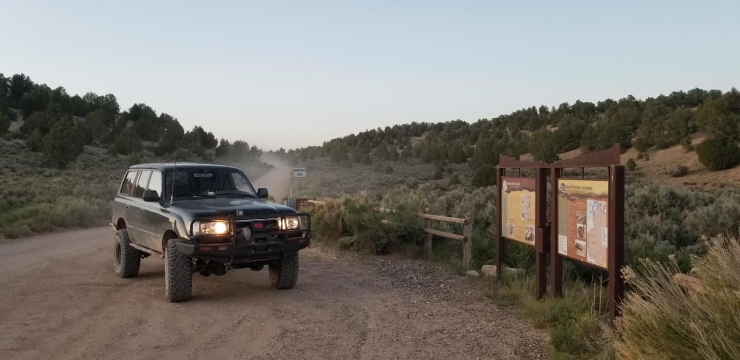
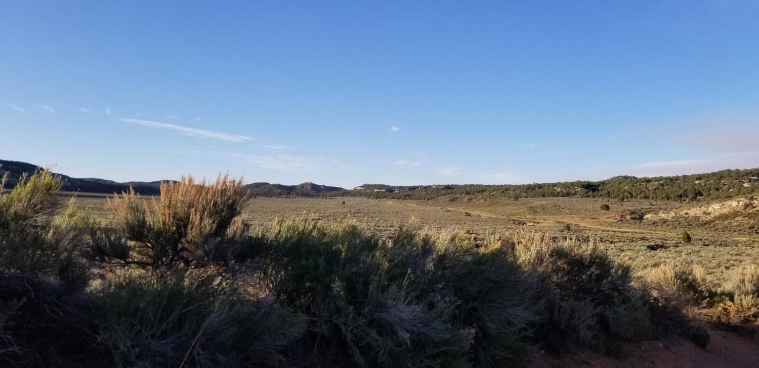
Trail Overview
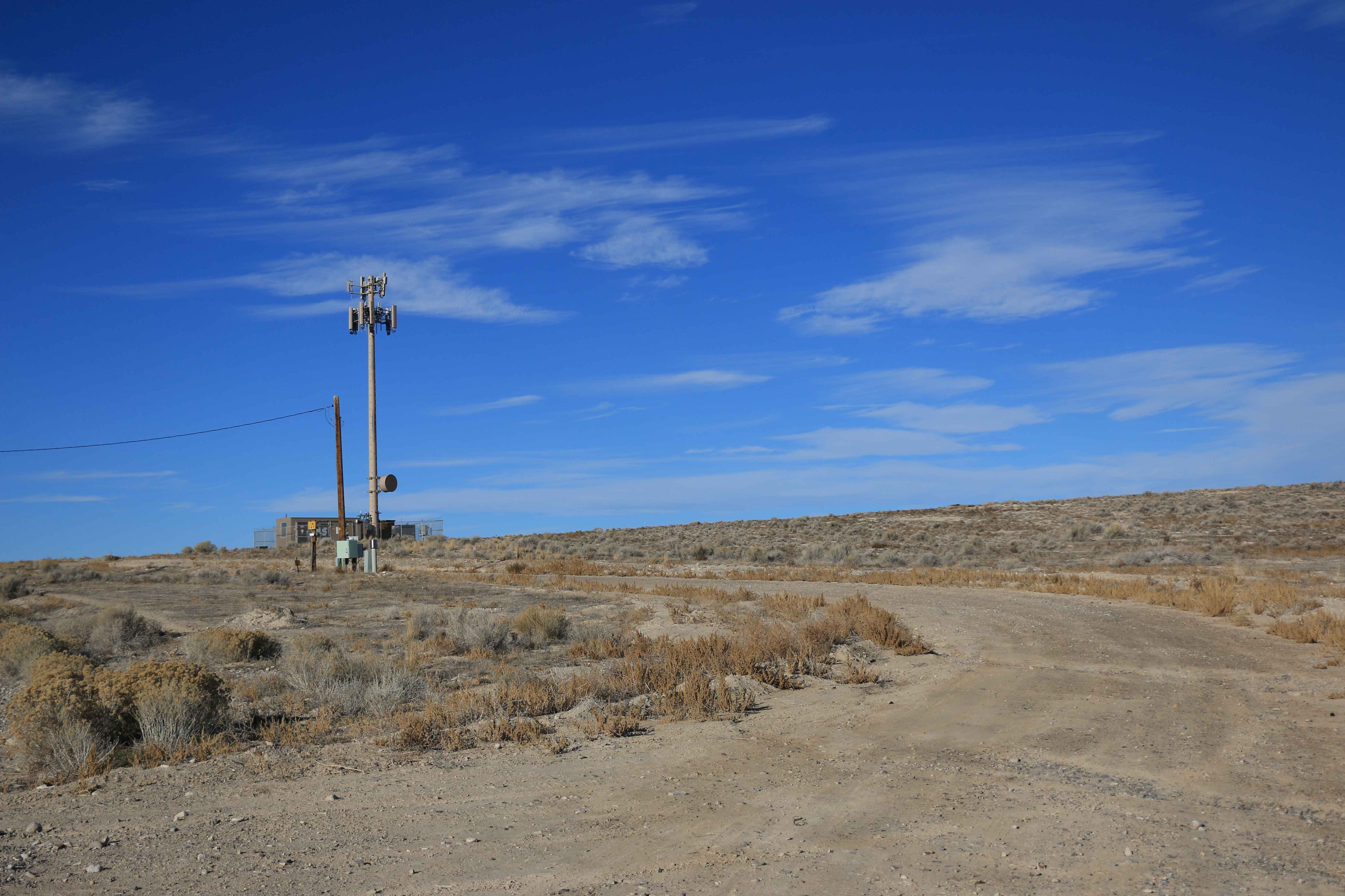
This is a 34-mile trail with high clearance vehicles recommended by BLM. The road winds through the western portion of the Grand Staircase Escalante National Monument. Carry extra water and fuel as there are no services in between the start and end of the road. There are emergency stations scattered along the trail every few miles. It is a feeder trail to offshoot canyon hikes, as well as boundary access to Bryce Canyon National Park. Be aware of livestock and private in-holdings along the route. During regular conditions the road is maintained by Garfield and Kane Counties. The road can be impassable from monsoon rains and flash flooding as well as snow in winter. The first 20 miles going north is flat and well maintained with almost any vehicle being able to traverse it in normal conditions. The next section is much rougher with steep and winding roads along cliff faces. Be prepared for a wide range of weather depending on the season.
Photos of Skutumpah Road
Difficulty
This section is maintained by county for private inholdings but can be impassable during monsoon season due to mud and flash flooding where the road passes through some washes. This road can be impassable in winter due to snow and wet conditions.
Status Reports
Skutumpah Road can be accessed by the following ride types:
- High-Clearance 4x4
- SUV
- SxS (60")
- ATV (50")
- Dirt Bike
Skutumpah Road Map
Popular Trails
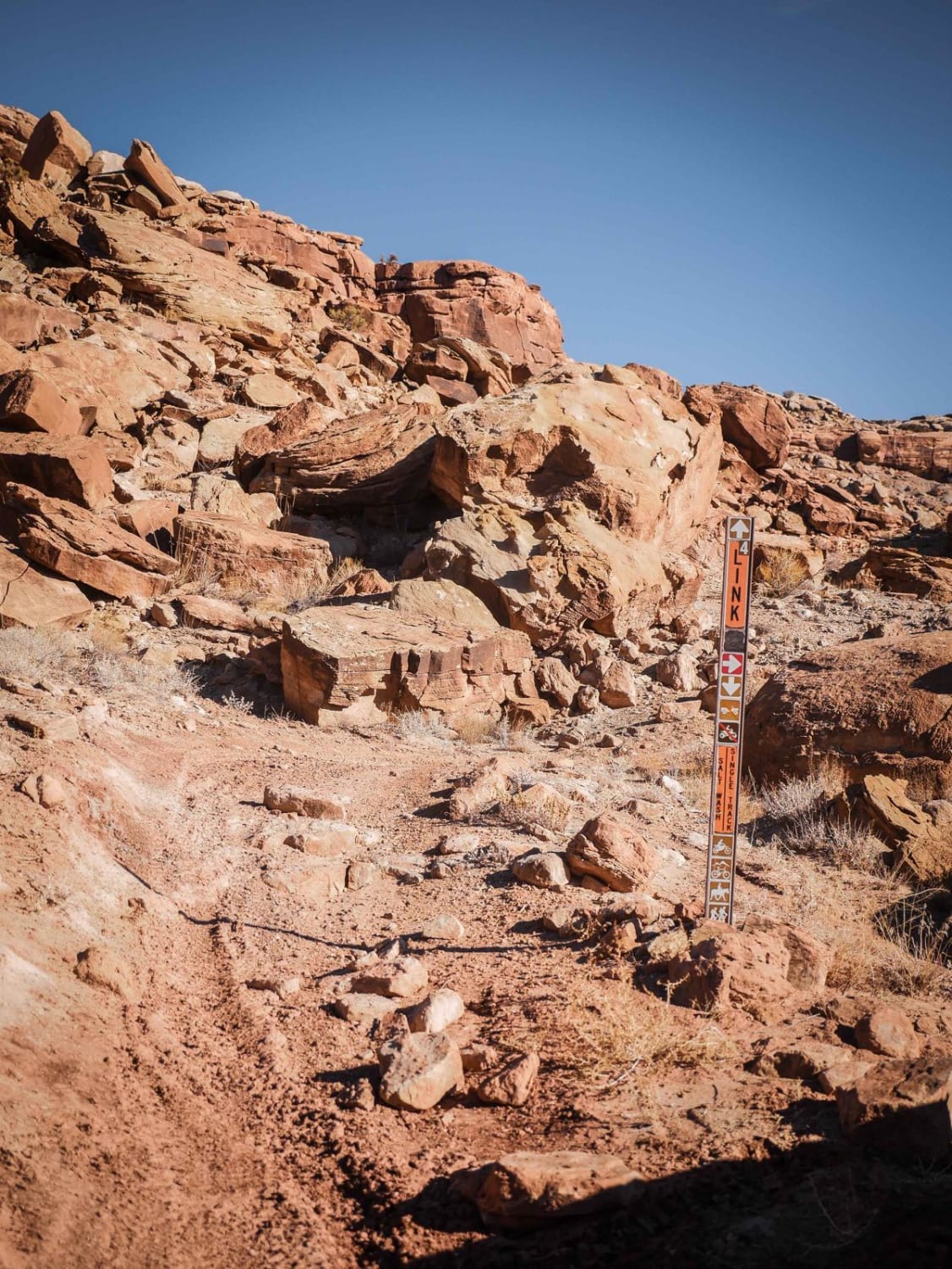
Link 4 (Easy)
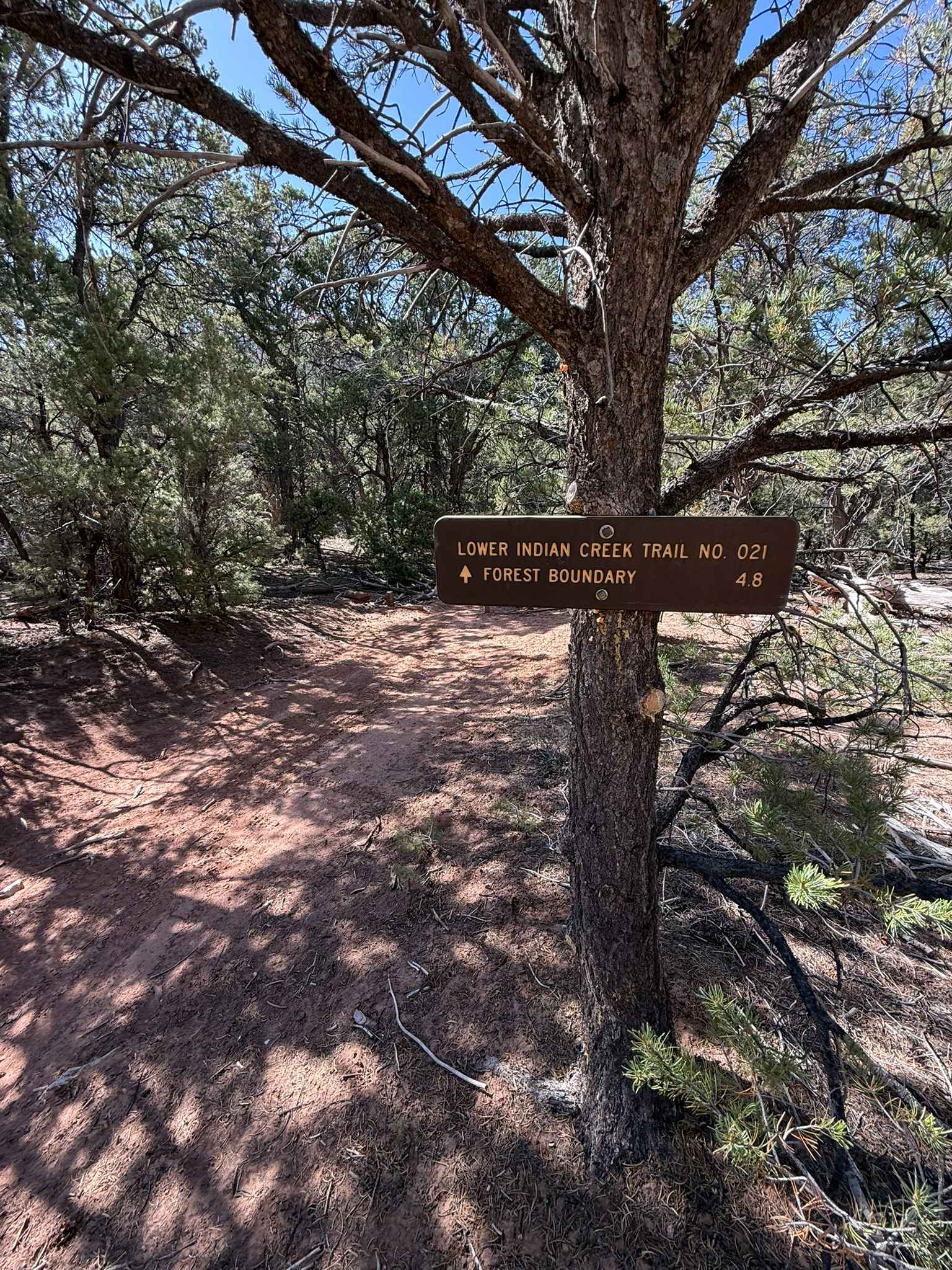
Lower Indian Creek Trail No. 021
Casto Canyon OHV Trail-NFS33089
The onX Offroad Difference
onX Offroad combines trail photos, descriptions, difficulty ratings, width restrictions, seasonality, and more in a user-friendly interface. Available on all devices, with offline access and full compatibility with CarPlay and Android Auto. Discover what you’re missing today!