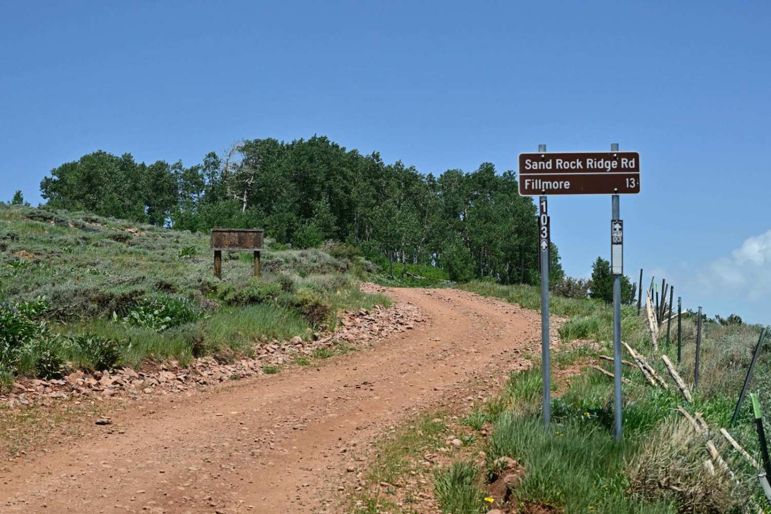
Sand Rock Ridge Road/PST 03B
Total Miles
12.1
Technical Rating
Best Time
Spring, Summer, Fall
Trail Type
Full-Width Road
Accessible By
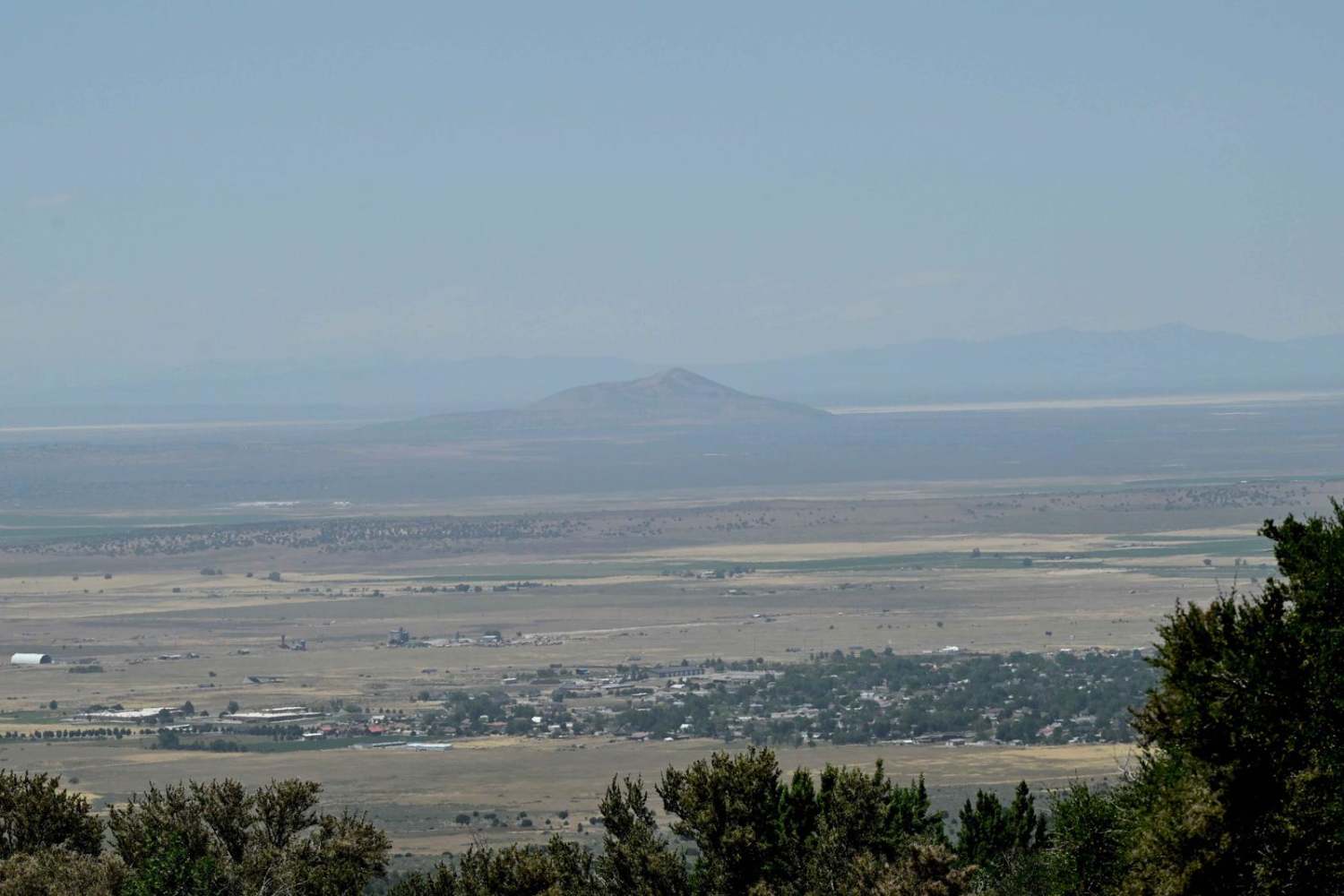
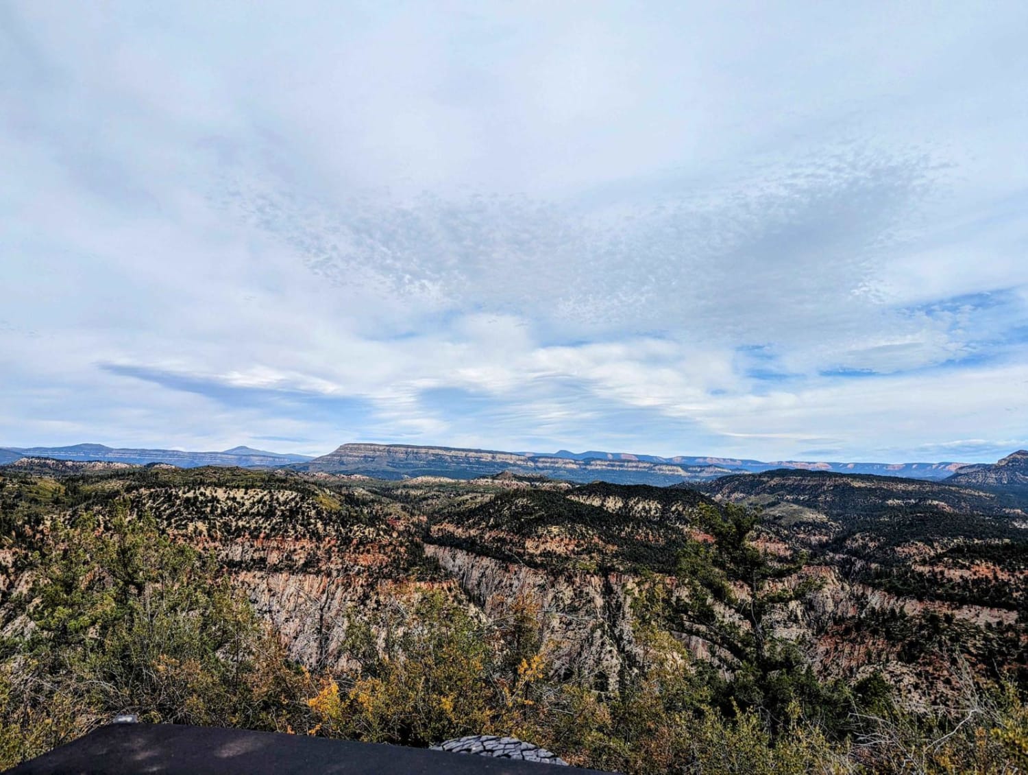
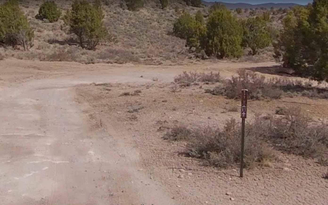
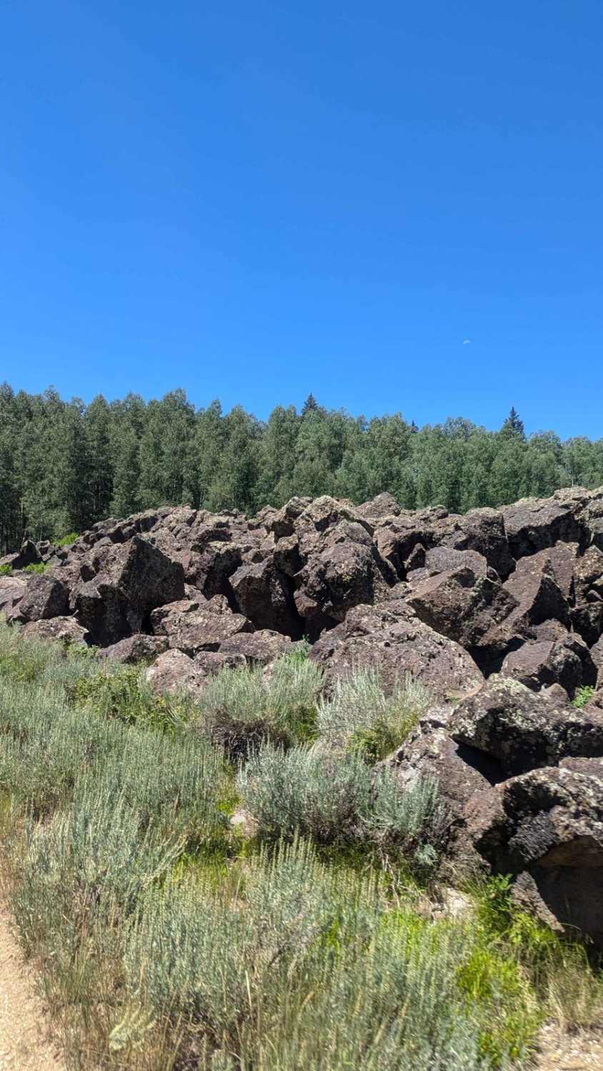
Trail Overview
A nice leisurely trail was mapped from near White Pine Peak's radio towers to Fillmore, UT's outskirts. This trail is part of the Paiute Trail system designated as PST03B. Running the trail from east to west is significant in that at approximately 2.9 miles, the trail becomes exclusively a descent across Sand Rock Ridge into Pole Canyon. It continues to pavement near Fillmore--a descent of almost 5000 feet in altitude. Road surface is generally well maintained, although close to the FS42 intersection at the peak, the trail has been extensively reworked by the USFS and has a significant amount of soft dirt and rock scree. Cell phone service is intermittent but generally available.
Photos of Sand Rock Ridge Road/PST 03B
Difficulty
Generally, a rated 1 trail but was run from east to west. If run from west to east some of the hills are steep and very loose. Due to altitude expect trail to be closed/gated in winter due to snow.
Status Reports
Sand Rock Ridge Road/PST 03B can be accessed by the following ride types:
- High-Clearance 4x4
- SUV
- SxS (60")
- ATV (50")
- Dirt Bike
Sand Rock Ridge Road/PST 03B Map
Popular Trails
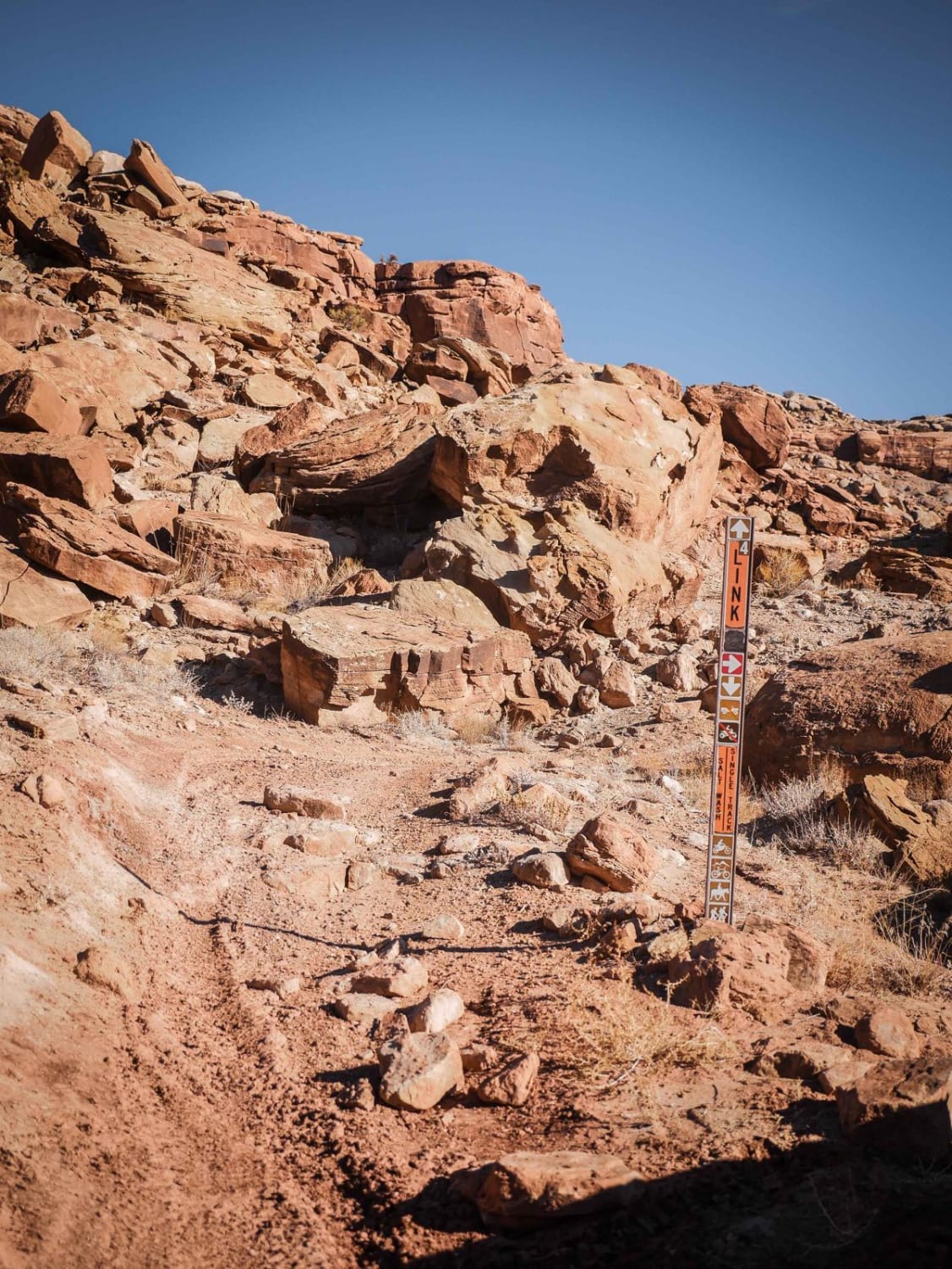
Link 4 (Easy)
Nephi Wash-FR30877
The onX Offroad Difference
onX Offroad combines trail photos, descriptions, difficulty ratings, width restrictions, seasonality, and more in a user-friendly interface. Available on all devices, with offline access and full compatibility with CarPlay and Android Auto. Discover what you’re missing today!