Off-Road Trails in Utah
Discover off-road trails in Utah
Learn more about Richfield-Pioneer Road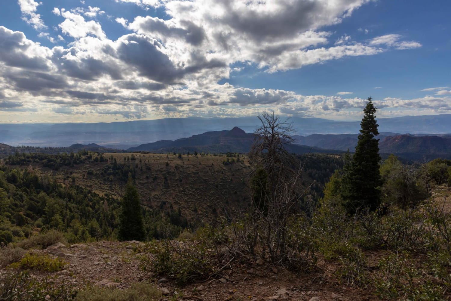
Richfield-Pioneer Road
Total Miles
26.9
Tech Rating
Easy
Best Time
Summer, Spring, Fall
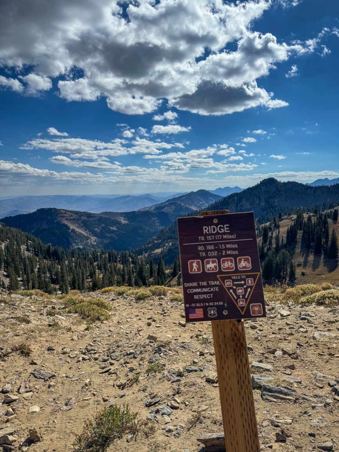
Learn more about Ridge Connector (2216)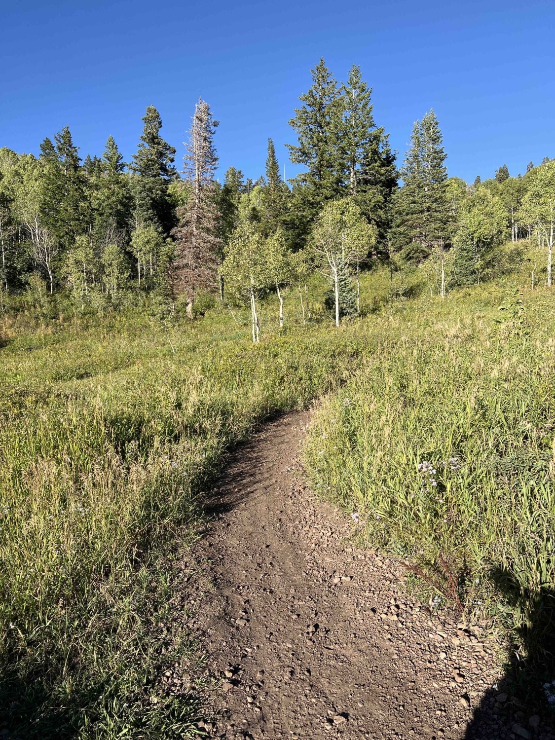
Ridge Connector (2216)
Total Miles
0.5
Tech Rating
Moderate
Best Time
Summer, Fall
Learn more about Ridgeline Romp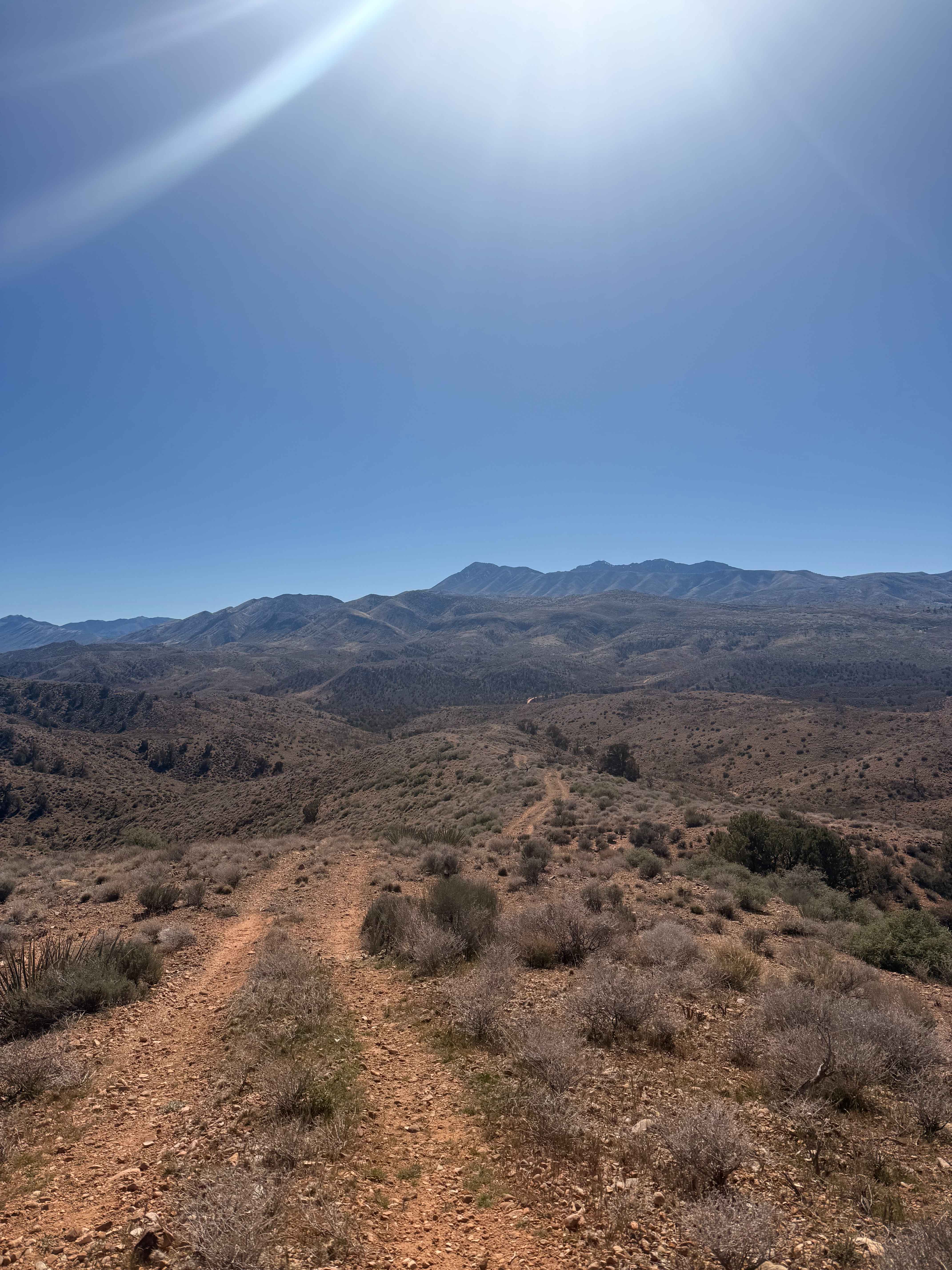
Ridgeline Romp
Total Miles
5.3
Tech Rating
Easy
Best Time
Spring, Summer, Fall, Winter
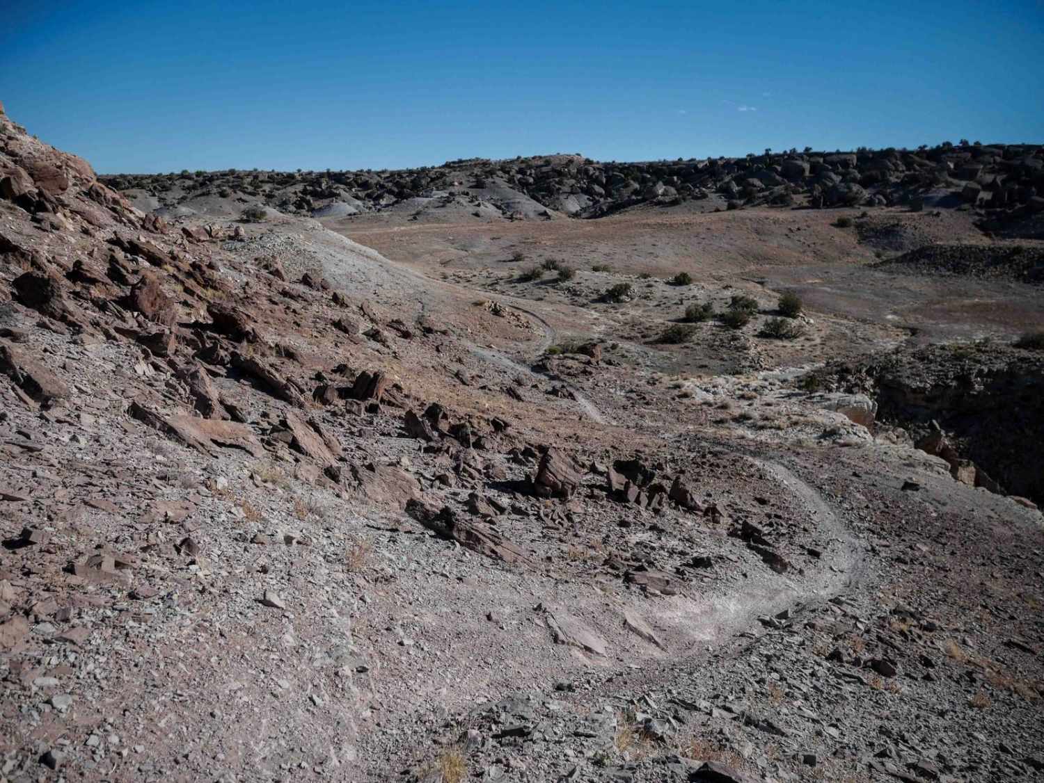
Learn more about Ridgeline Trail 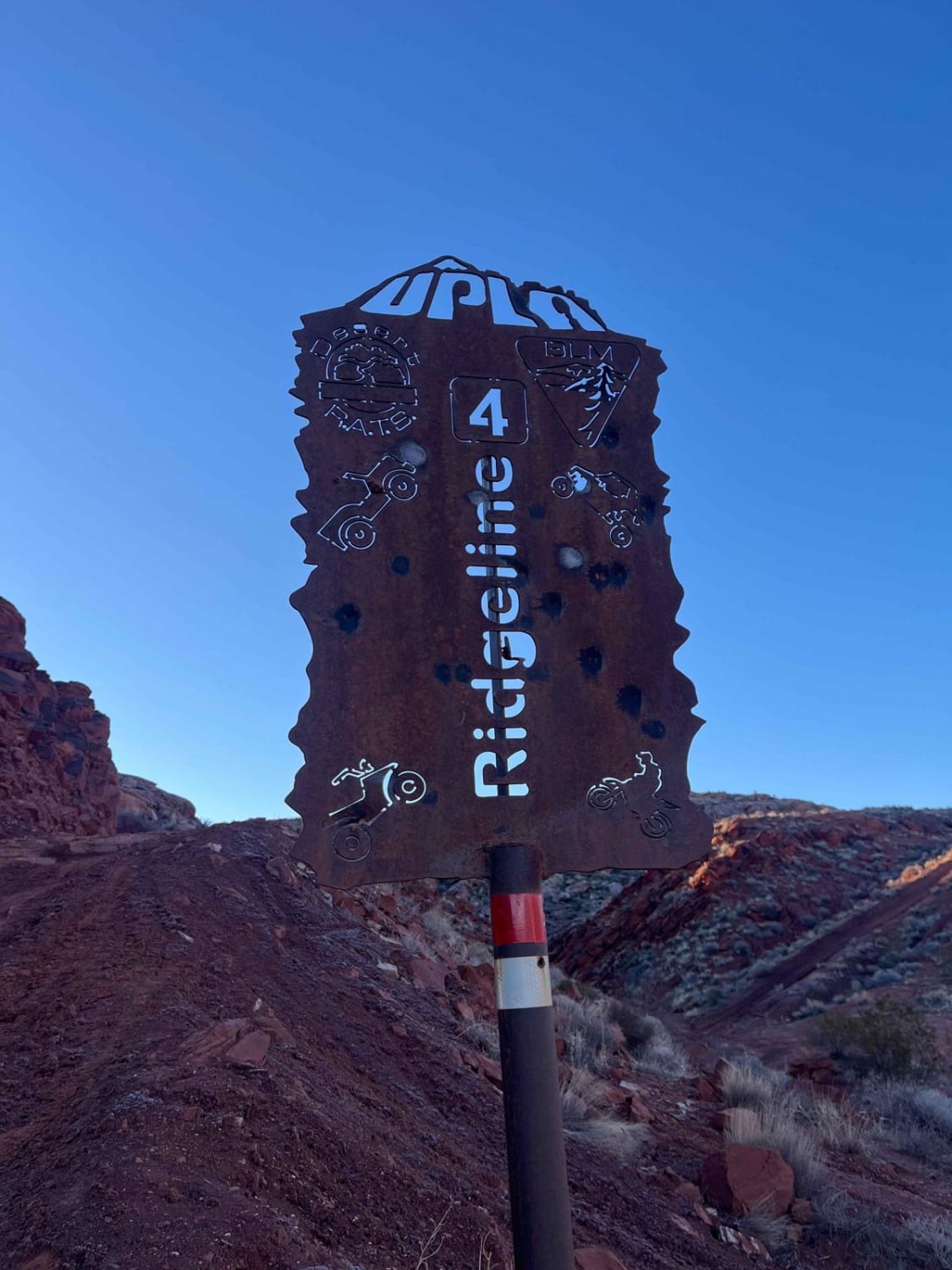
Ridgeline Trail
Total Miles
1.0
Tech Rating
Difficult
Best Time
Summer, Fall
Learn more about Rigger to Puffer Lake (FS 40129/PST 29)
Rigger to Puffer Lake (FS 40129/PST 29)
Total Miles
6.4
Tech Rating
Easy
Best Time
Spring, Summer, Fall
Learn more about Right Fork Days Canyon (8004)
Right Fork Days Canyon (8004)
Total Miles
0.8
Tech Rating
Difficult
Best Time
Summer, Fall
Learn more about Right Fork Hobble Creek Road
Right Fork Hobble Creek Road
Total Miles
7.7
Tech Rating
Easy
Best Time
Fall, Spring
Learn more about Ripple Valley Pass
Ripple Valley Pass
Total Miles
10.0
Tech Rating
Easy
Best Time
Spring, Summer, Fall, Winter
Learn more about Ripple Valley Road
Ripple Valley Road
Total Miles
12.8
Tech Rating
Easy
Best Time
Spring, Fall, Summer, Winter
Learn more about Ripple Valley Road 2.0
Ripple Valley Road 2.0
Total Miles
7.7
Tech Rating
Easy
Best Time
Spring, Summer, Fall
Learn more about Risky Biz
Risky Biz
Total Miles
1.9
Tech Rating
Difficult
Best Time
Spring, Summer, Fall, Winter
Learn more about Riverbottom Road-JC8122802
Riverbottom Road-JC8122802
Total Miles
12.1
Tech Rating
Easy
Best Time
Spring, Summer, Fall, Winter
Learn more about Road Draw/Haws Pasture/Kings Pasture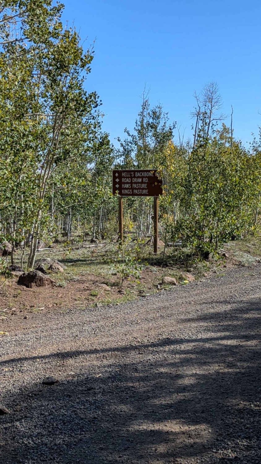
Road Draw/Haws Pasture/Kings Pasture
Total Miles
8.8
Tech Rating
Easy
Best Time
Fall, Summer, Spring
Learn more about Road to Hite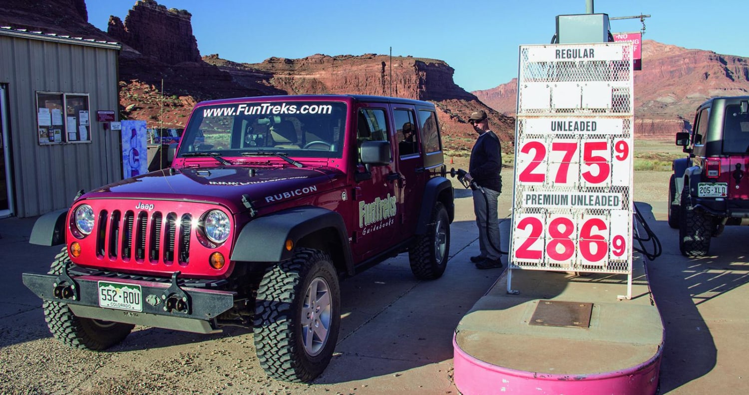
Road to Hite
Total Miles
30.9
Tech Rating
Easy
Best Time
Spring, Summer, Fall
Learn more about Road to Paria-BLM585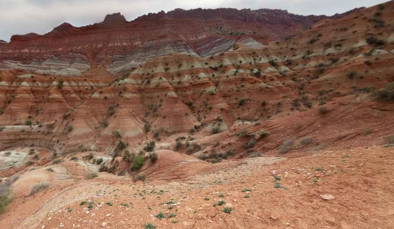
Road to Paria-BLM585
Total Miles
5.7
Tech Rating
Easy
Best Time
Spring, Summer, Fall, Winter
Learn more about Road to Quick Dip
Road to Quick Dip
Total Miles
2.5
Tech Rating
Easy
Best Time
Spring, Summer, Fall
Learn more about Roaring Rim Bypass
Roaring Rim Bypass
Total Miles
0.7
Tech Rating
Easy
Best Time
Spring, Summer, Fall
ATV trails in Utah

Learn more about 14 Mile Road
14 Mile Road
Total Miles
14.7
Tech Rating
Easy
Best Time
Spring, Summer, Fall, Winter


UTV/side-by-side trails in Utah
Learn more about 14 Mile Road
14 Mile Road
Total Miles
14.7
Tech Rating
Easy
Best Time
Spring, Summer, Fall, Winter
The onX Offroad Difference
onX Offroad combines trail photos, descriptions, difficulty ratings, width restrictions, seasonality, and more in a user-friendly interface. Available on all devices, with offline access and full compatibility with CarPlay and Android Auto. Discover what you’re missing today!