2 trails found in Utah
Which "ridgeline romp" are you looking for?
We found 2 off-road trails in Utah matching your search. Pick the one you're looking for below.
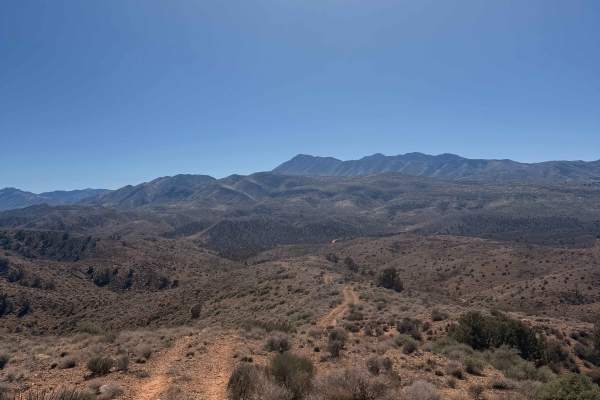
Ridgeline Romp
This two-track trail traverses some of the highest geographical parts of the Gunlock area. It follows the spine of the highest ridge for about 5 miles as it parallels an old barbed wire fence on top. The trail has no significant obstacles or challenging parts other than several steep rocky sections ...
Learn more about Ridgeline Romp
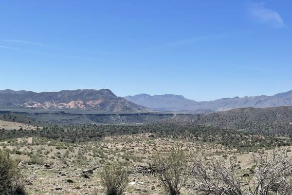
A Ridgeline Romp
This stunning two-track trail runs along the Ridgeline to the valley below. For the best views, it's recommended to take it from top to bottom. There are a few flat spots for camping. However, no fire rings were noticed except near the bottom in these spots. There are rocky sections and small off-ca...
Learn more about A Ridgeline Romp