Rigger to Puffer Lake (FS 40129/PST 29)
Total Miles
6.4
Technical Rating
Best Time
Spring, Summer, Fall
Trail Type
High-Clearance 4x4 Trail
Accessible By
Trail Overview
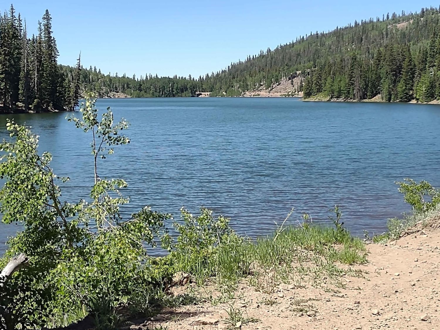
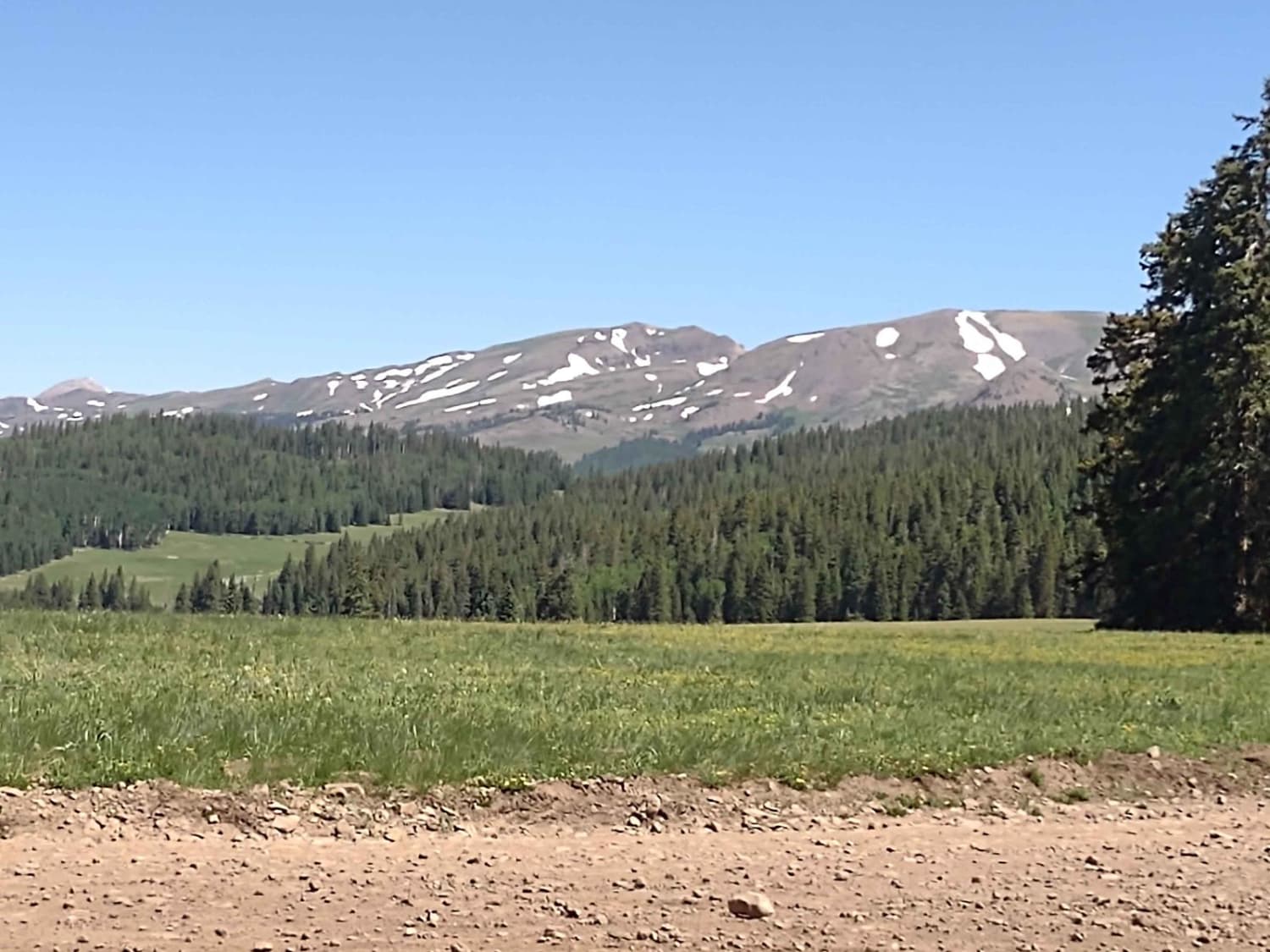
Rigger to Puffer Lake, from its southernmost point goes north and west around Puffer Lake. The trail is nearly 6.5 miles, and it winds through the pine trees up to an elevation of just under 10,600 feet. The pine scent is clean and amazing. In places you travel through aspen groves, and in the fall the change of colors promises to be superb. You travel nearly to treeline and above are the snow-capped peaks of the Tushar Ridge in the Fishlake National Forest. You cross a bridge over the creek, and there is one small stream that runs across the trail. By mid-July the stream is shallow. Puffer Lake covers 65 acres, and when full, it's about 50 feet deep. It is a natural mountain lake, but a dam has been added to help with irrigation and responsible use of water. Puffer Lake is stocked with rainbow and brook trout. It's one of the most scenic lakes in this area. Don't forget to get the online education course certificate and your OHV sticker to off-road legally in Utah.
Photos of Rigger to Puffer Lake (FS 40129/PST 29)
Difficulty
There are some areas of erosion, some rocks, a shallow water crossing, and some hills, but nothing is too difficult.
Status Reports
Rigger to Puffer Lake (FS 40129/PST 29) can be accessed by the following ride types:
- High-Clearance 4x4
- SxS (60")
- ATV (50")
- Dirt Bike
Rigger to Puffer Lake (FS 40129/PST 29) Map
Popular Trails

Little Canyon Trail

Ripple Valley Pass
West Mountain Route
The onX Offroad Difference
onX Offroad combines trail photos, descriptions, difficulty ratings, width restrictions, seasonality, and more in a user-friendly interface. Available on all devices, with offline access and full compatibility with CarPlay and Android Auto. Discover what you’re missing today!