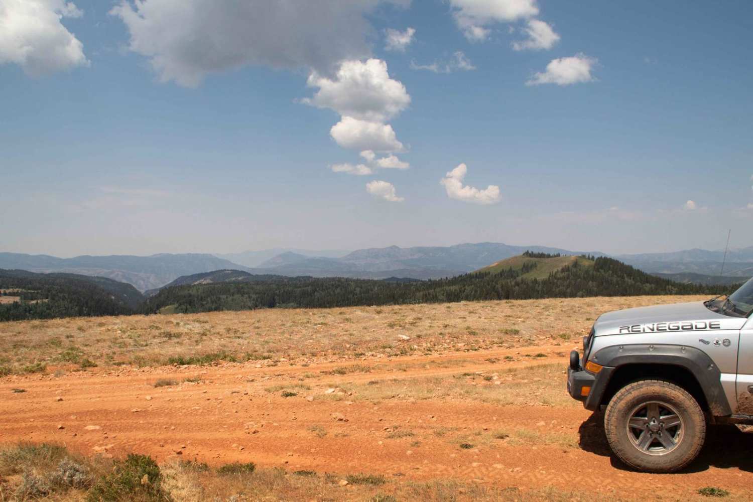
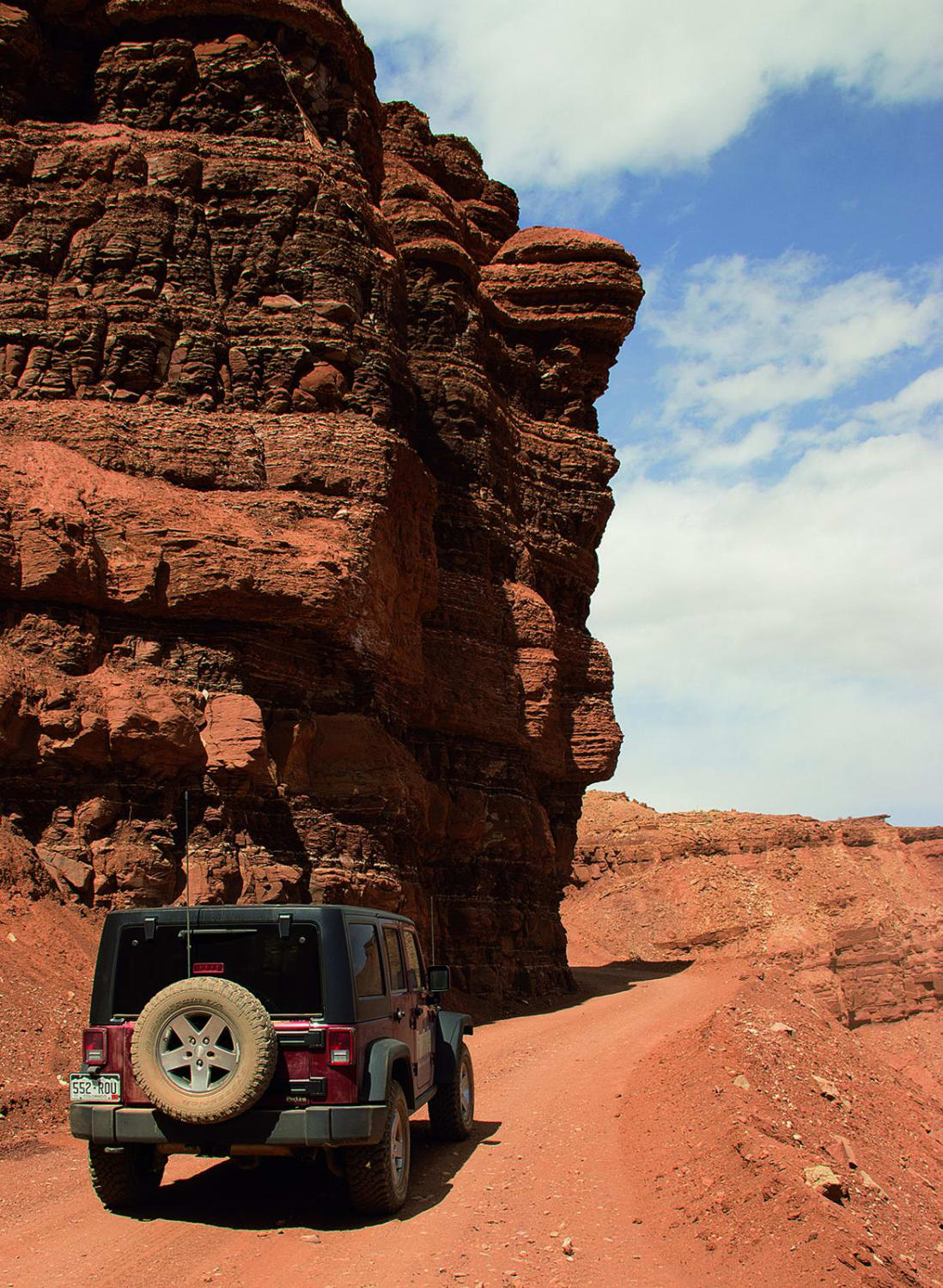
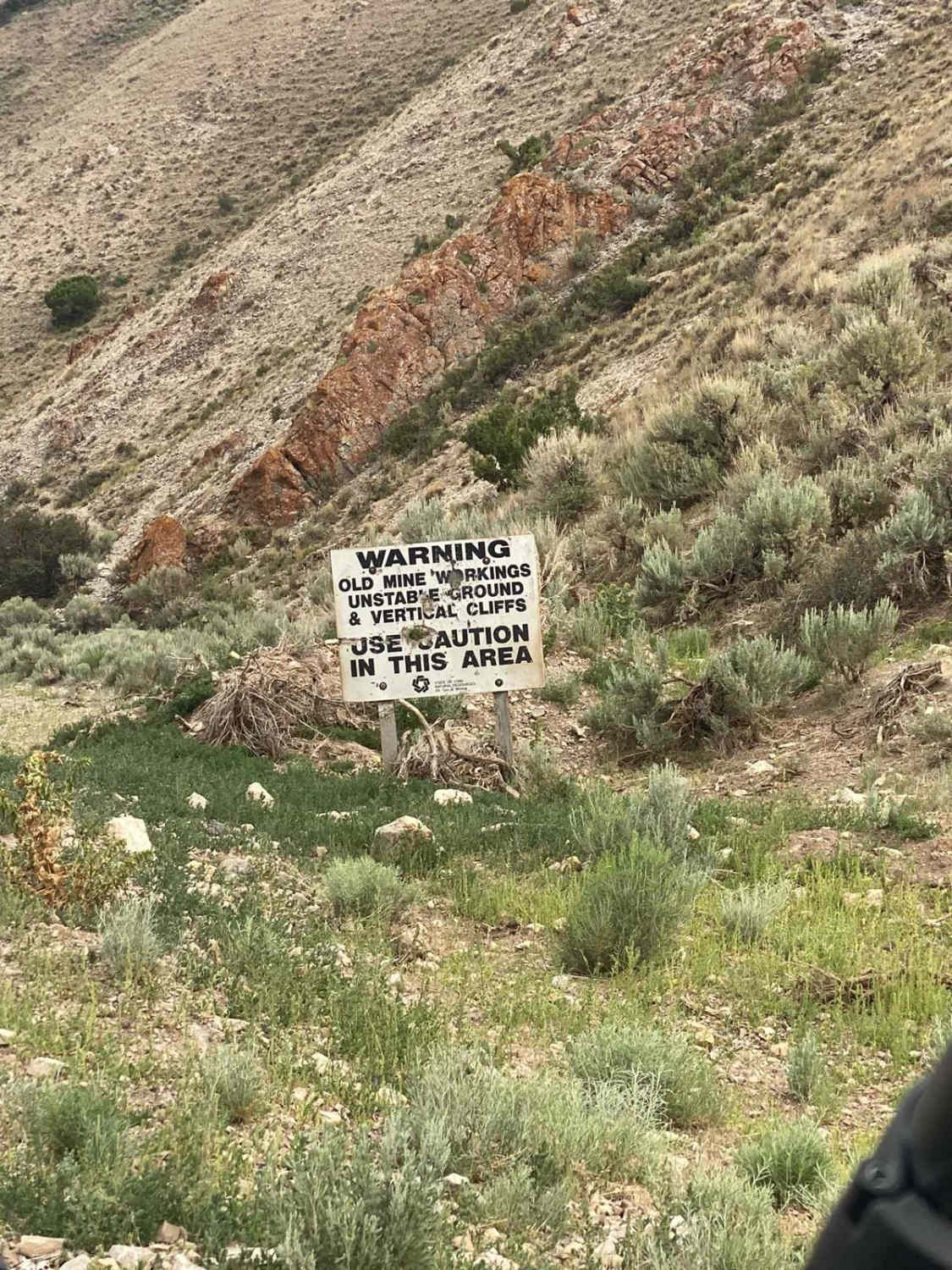
Off-Road Trails in Utah
Discover off-road trails in Utah
Learn more about Red Rocks Trail 
Red Rocks Trail
Total Miles
1.7
Tech Rating
Moderate
Best Time
Spring, Winter, Fall
Learn more about Red Slot Trail 
Red Slot Trail
Total Miles
1.0
Tech Rating
Moderate
Best Time
Spring, Fall, Winter

Learn more about Resurrection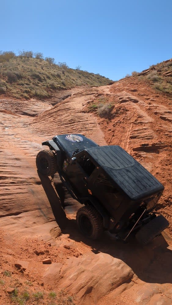
Resurrection
Total Miles
4.1
Tech Rating
Moderate
Best Time
Spring, Summer, Fall, Winter
Learn more about Revenue Basin Road
Revenue Basin Road
Total Miles
13.8
Tech Rating
Easy
Best Time
Spring, Summer, Fall, Winter
Learn more about Revenue Gulch - Bullion/Wedge Road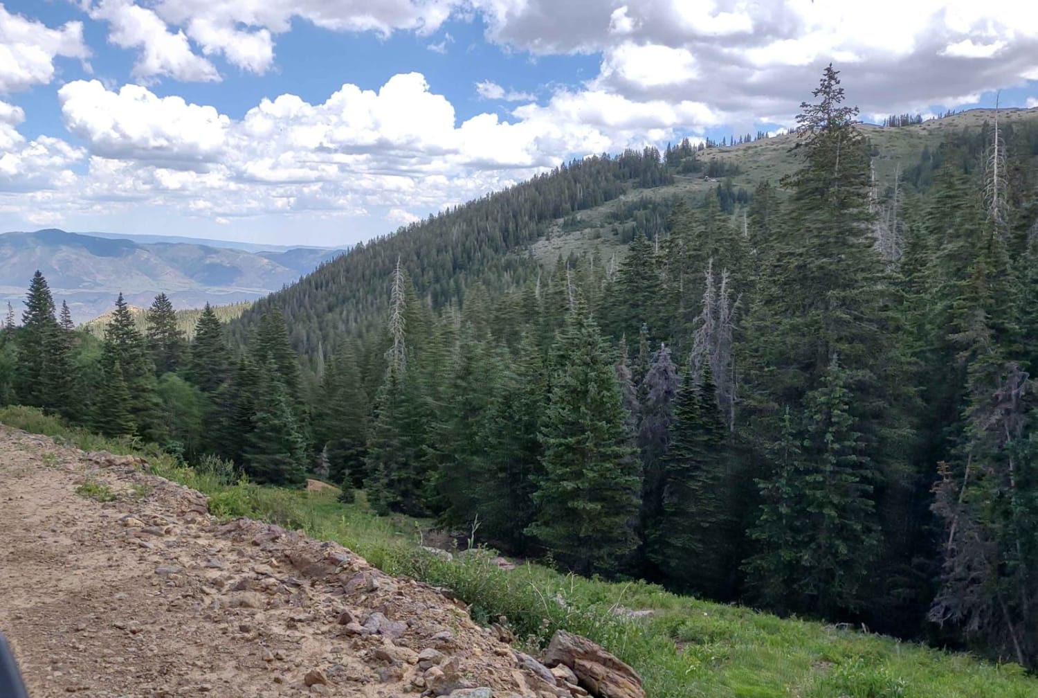
Revenue Gulch - Bullion/Wedge Road
Total Miles
1.5
Tech Rating
Easy
Best Time
Fall, Summer, Spring
Learn more about Revenue Gulch (FS 40577, BLM 210)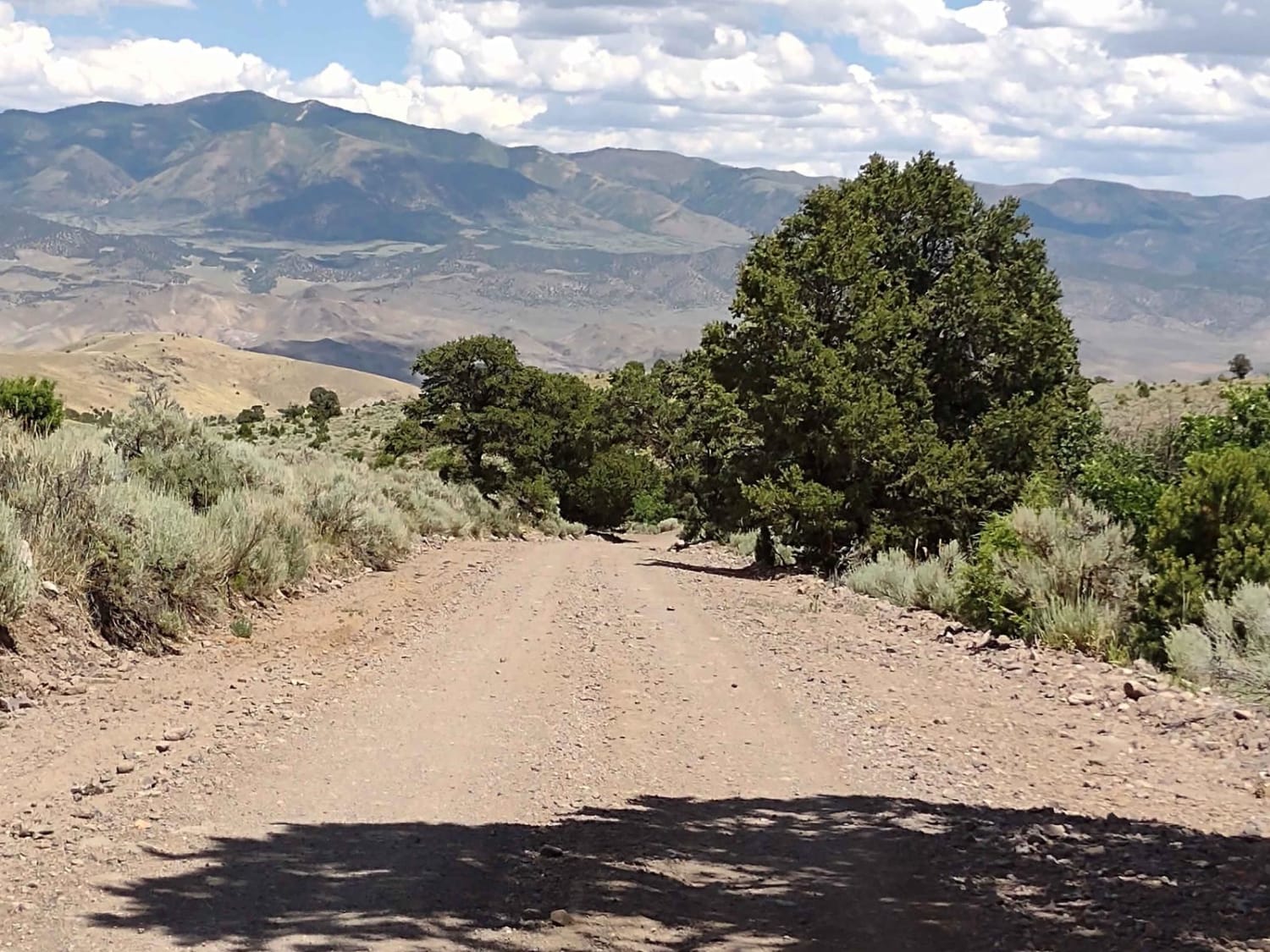
Revenue Gulch (FS 40577, BLM 210)
Total Miles
4.0
Tech Rating
Easy
Best Time
Spring, Summer, Fall
Learn more about Revenue Gulch Cottonwood (72)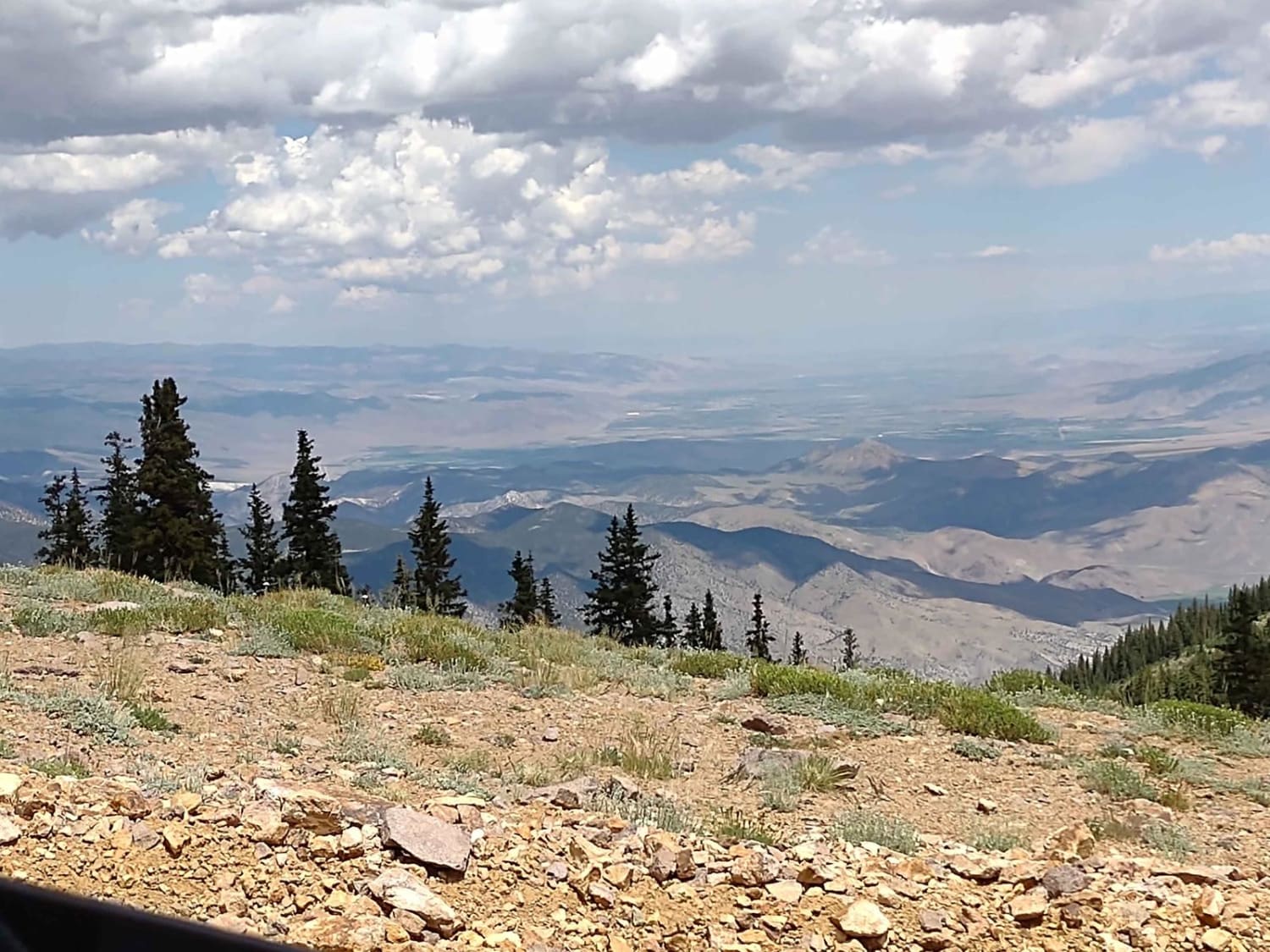
Revenue Gulch Cottonwood (72)
Total Miles
1.0
Tech Rating
Moderate
Best Time
Spring, Summer, Fall
Learn more about Revenue Gulch to Rainbow Road
Revenue Gulch to Rainbow Road
Total Miles
3.5
Tech Rating
Moderate
Best Time
Summer, Fall
Learn more about Rex's Reservoir to Lost Creek Road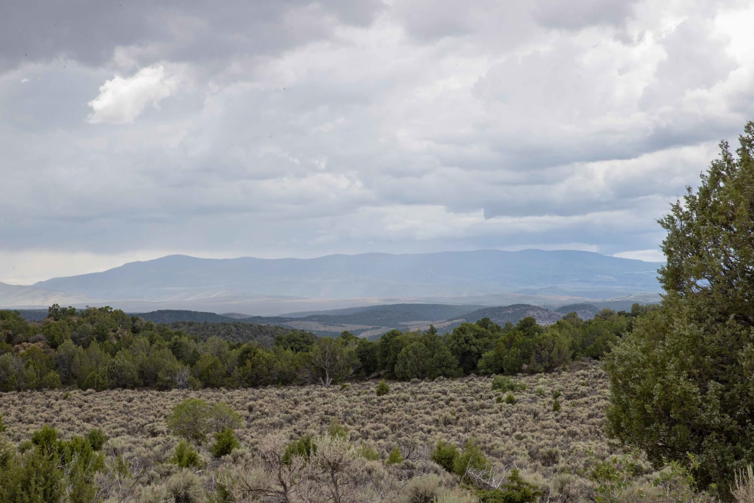
Rex's Reservoir to Lost Creek Road
Total Miles
5.6
Tech Rating
Easy
Best Time
Fall, Winter, Summer, Spring
Learn more about Rhodes Canyon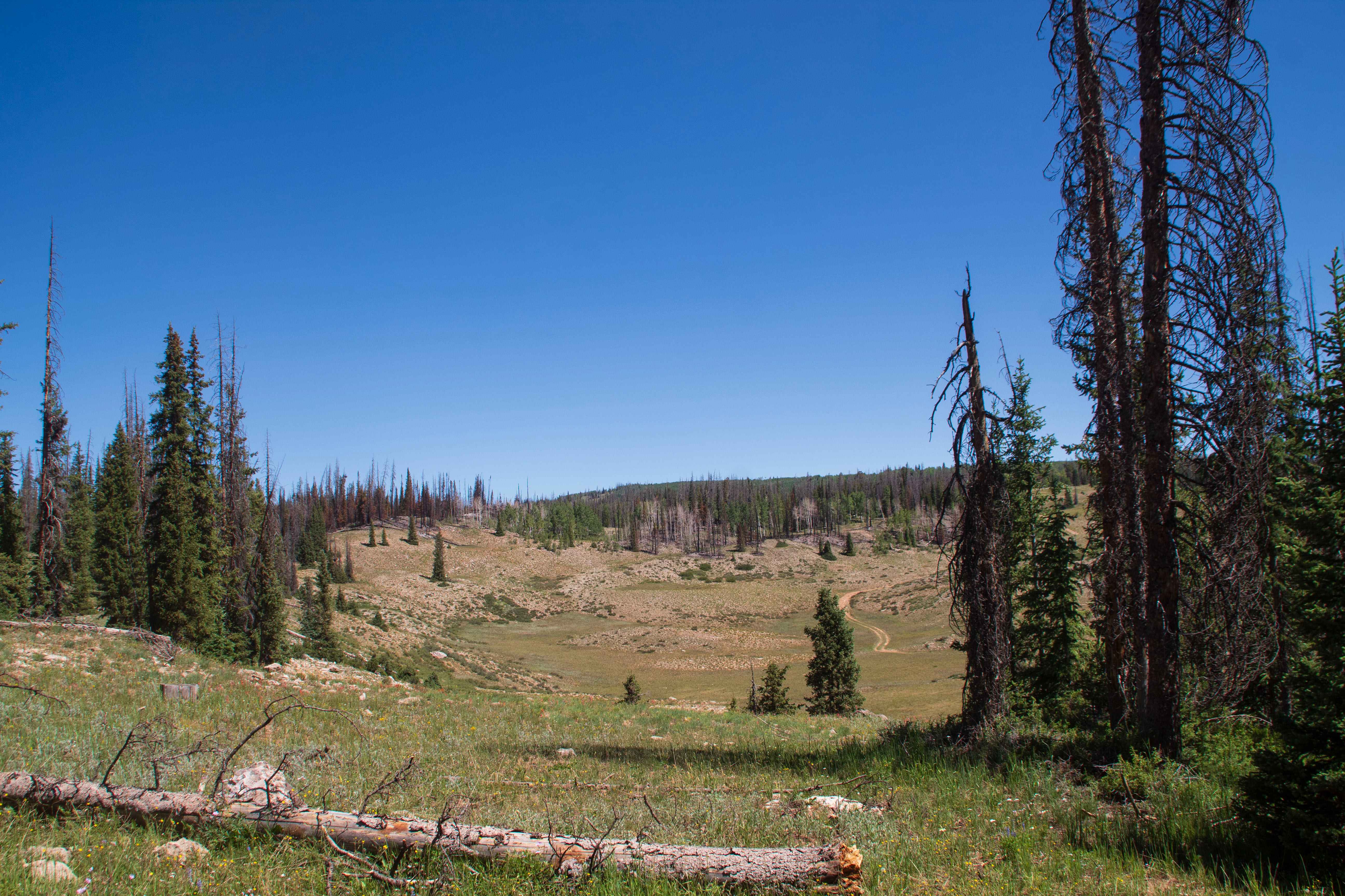
Rhodes Canyon
Total Miles
9.6
Tech Rating
Easy
Best Time
Summer, Fall, Spring
Learn more about Rib Cage Canyon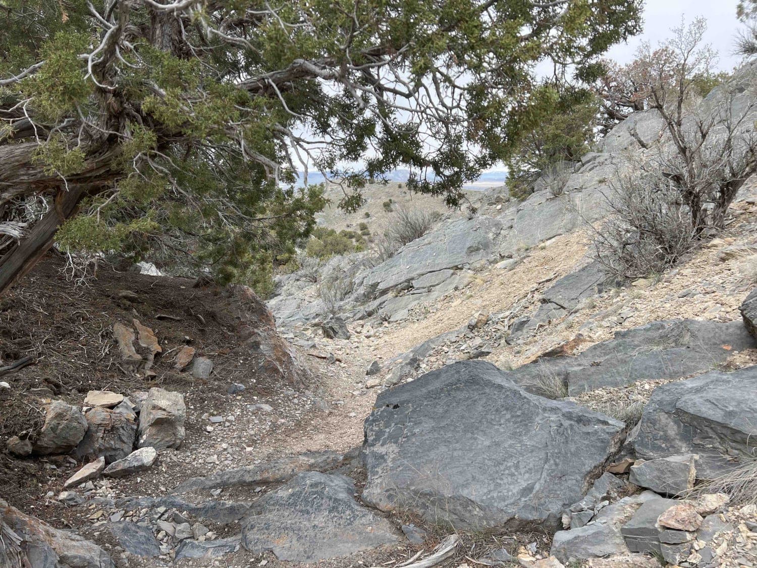
Rib Cage Canyon
Total Miles
0.9
Tech Rating
Difficult
Best Time
Fall, Summer, Spring, Winter
Learn more about Rib Cage Canyon Go-Around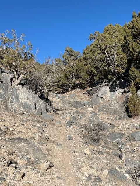
Rib Cage Canyon Go-Around
Total Miles
0.3
Tech Rating
Moderate
Best Time
Winter, Fall, Summer, Spring
Learn more about Richard's Elbow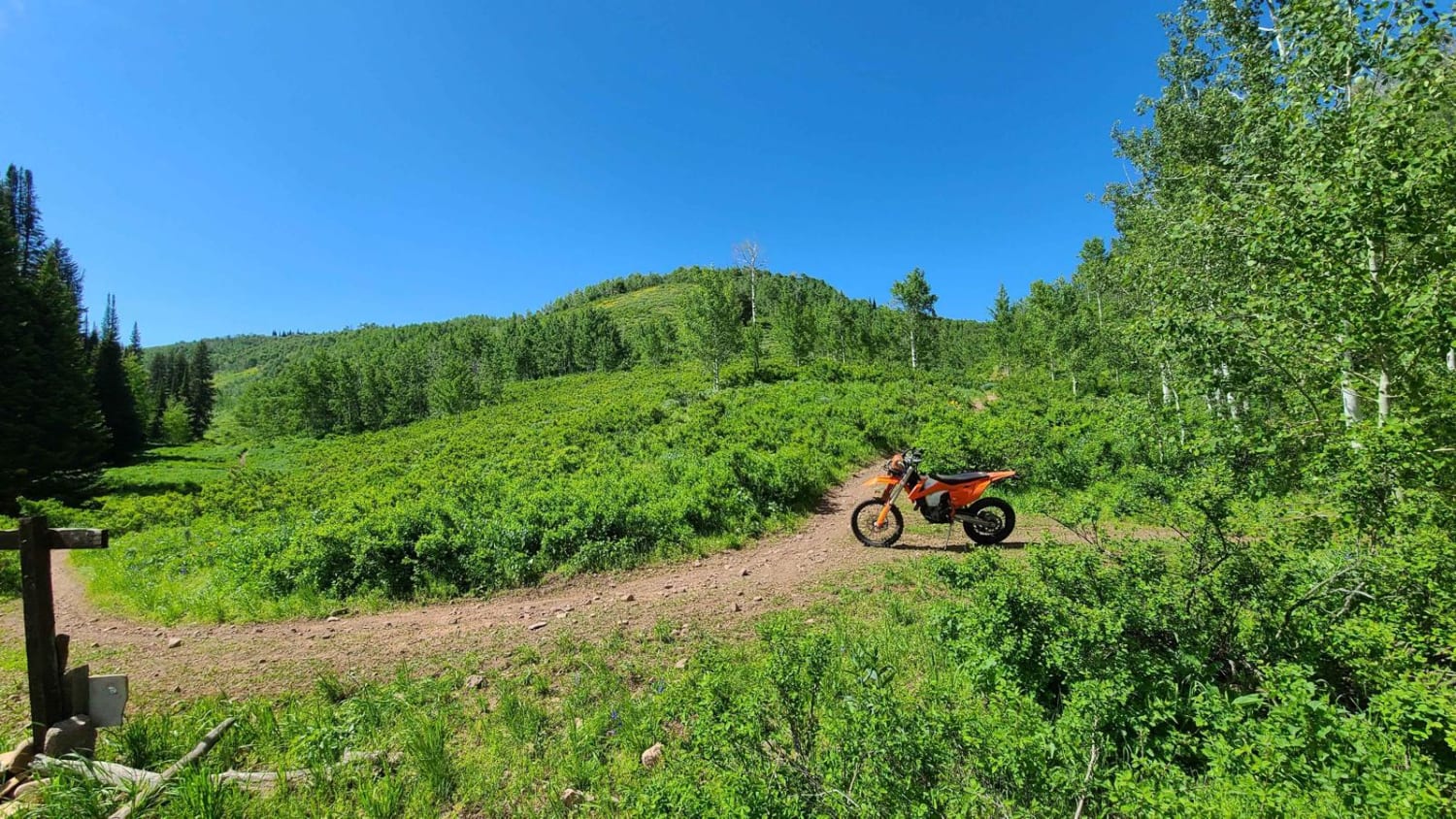
Richard's Elbow
Total Miles
1.9
Tech Rating
Moderate
Best Time
Spring, Summer, Fall
Learn more about Richard's Hollow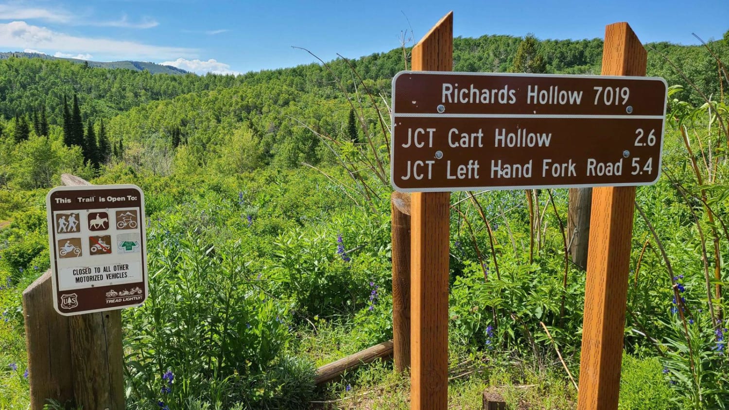
Richard's Hollow
Total Miles
5.5
Tech Rating
Moderate
Best Time
Spring, Summer, Fall
Learn more about Richardson Overlook
Richardson Overlook
Total Miles
2.2
Tech Rating
Easy
Best Time
Spring, Summer, Fall, Winter
Learn more about Richfield Pioneer Road North
Richfield Pioneer Road North
Total Miles
13.0
Tech Rating
Easy
Best Time
Spring, Summer, Fall
ATV trails in Utah

Learn more about 14 Mile Road
14 Mile Road
Total Miles
14.7
Tech Rating
Easy
Best Time
Spring, Summer, Fall, Winter


UTV/side-by-side trails in Utah
Learn more about 14 Mile Road
14 Mile Road
Total Miles
14.7
Tech Rating
Easy
Best Time
Spring, Summer, Fall, Winter
The onX Offroad Difference
onX Offroad combines trail photos, descriptions, difficulty ratings, width restrictions, seasonality, and more in a user-friendly interface. Available on all devices, with offline access and full compatibility with CarPlay and Android Auto. Discover what you’re missing today!