Rhodes Canyon
Total Miles
9.6
Technical Rating
Best Time
Summer, Fall, Spring
Trail Type
Full-Width Road
Accessible By
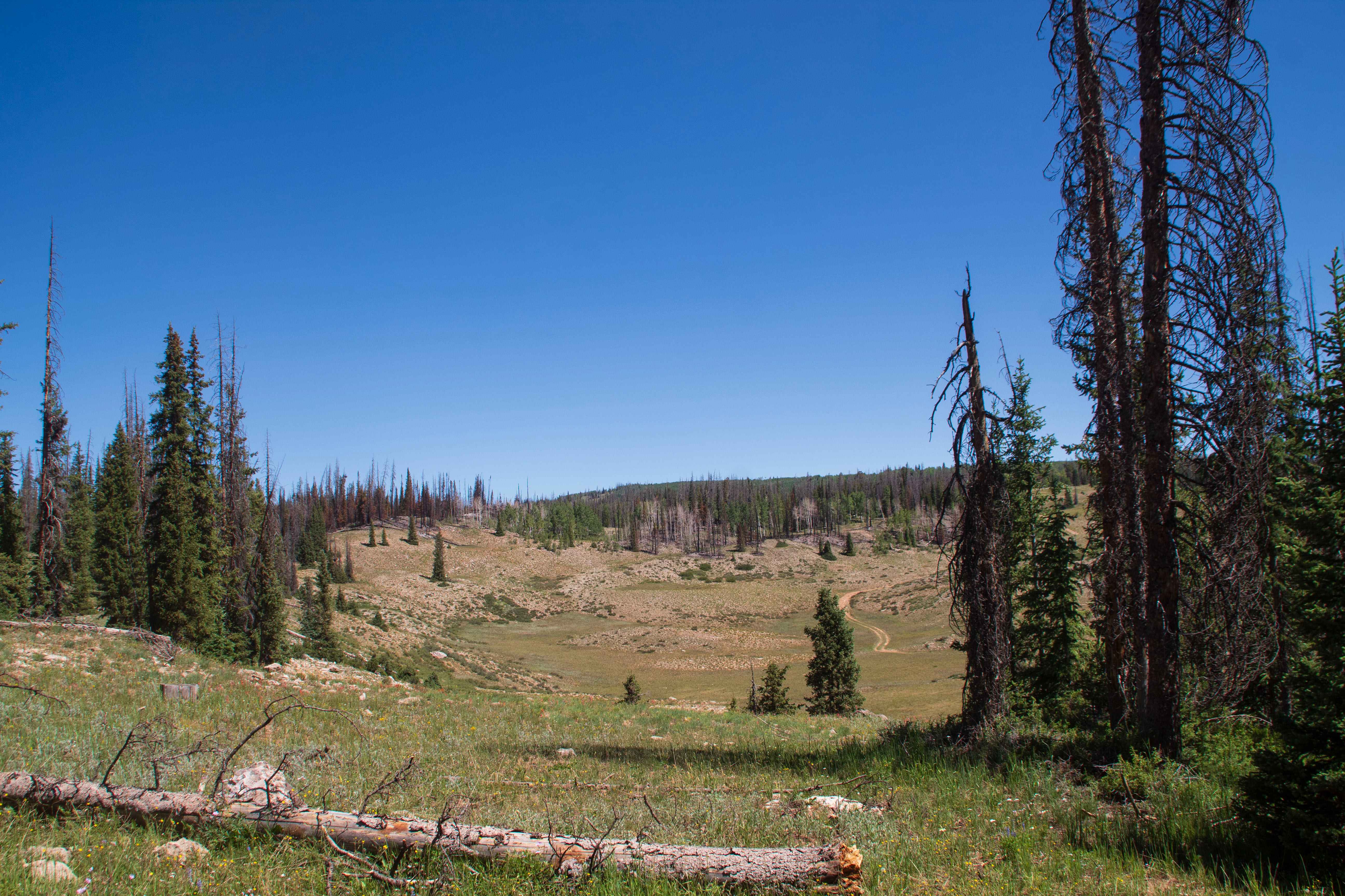
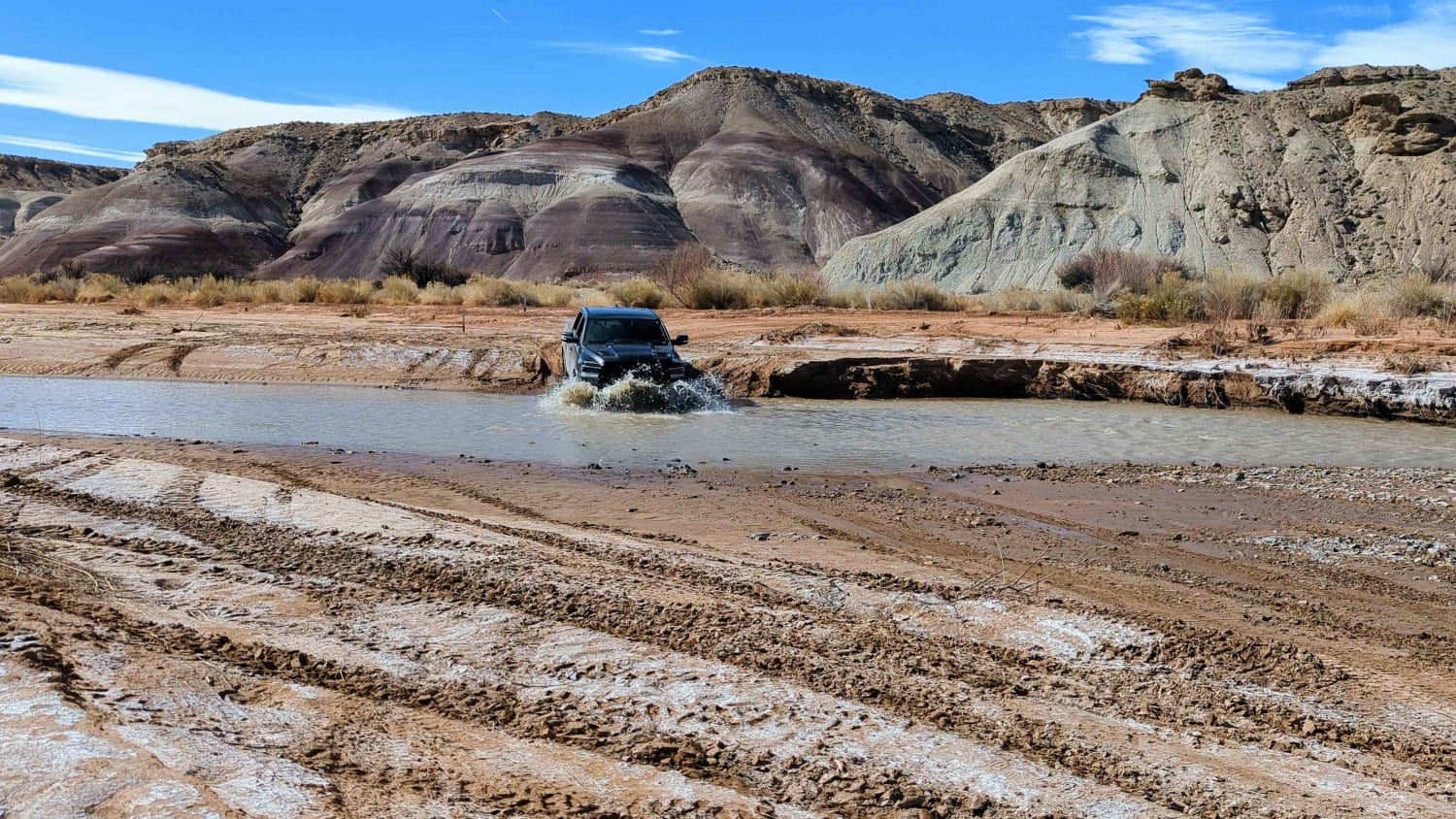
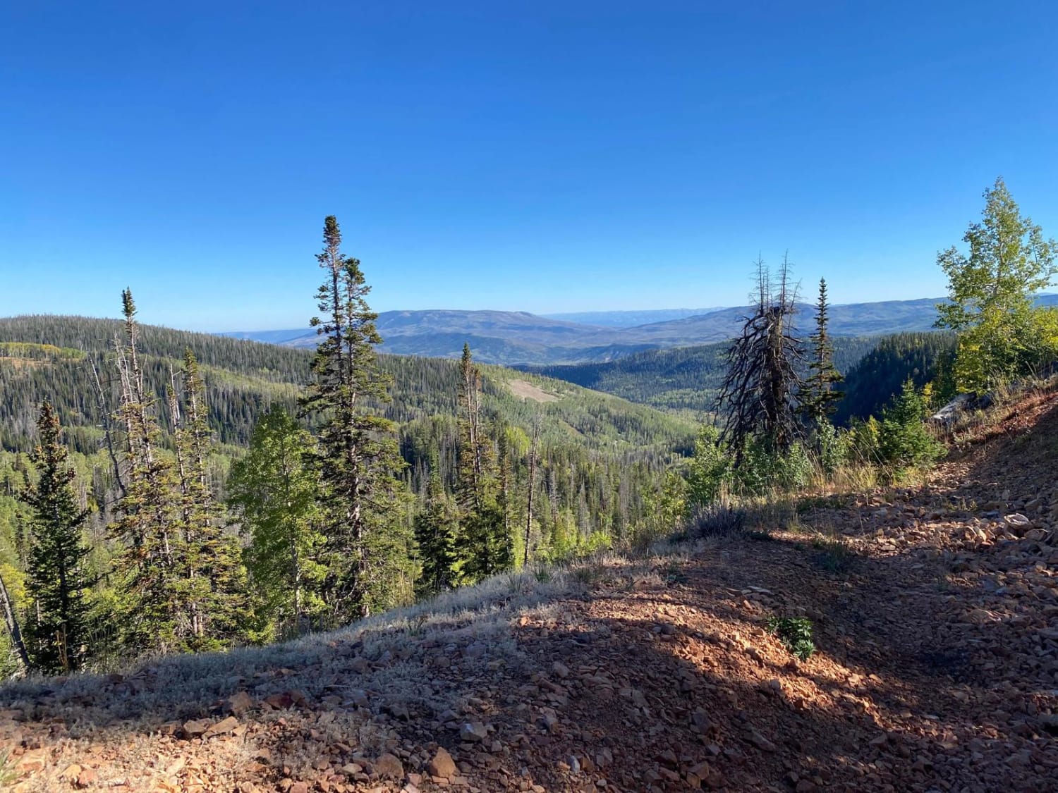
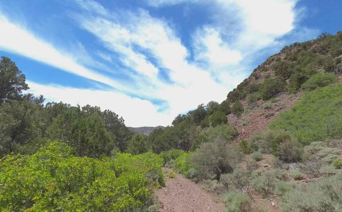
Trail Overview
This trail starts at Highway 35 just outside of Hanna and heads up Rhodes Canyon up into the Soapstone Basin area, where the trail opens up out of the trees and travels through meadows before ending at Soapstone where you can continue onto Soapstone Pass. The majority of this trail is smooth and maintained, but there are a few sections where it gets a little rocky and rutted. This trail is open year-round but is inaccessible during the winter through early summer due to deep snow, but is usually clear late June to early July. The trail can be a little hard to follow as it travels through 2 major intersections as it travels through the National Forest which are Silver Meadows and Trail Hollow. Starting from Highway 35, you keep right at the first intersection and left at the second, and the same when going the other way.
Photos of Rhodes Canyon

Difficulty
There are some rocky sections along with some rutted sections.
Status Reports
Rhodes Canyon can be accessed by the following ride types:
- High-Clearance 4x4
- SUV
- SxS (60")
- ATV (50")
- Dirt Bike
Rhodes Canyon Map
Popular Trails
Chloride Canyon

The onX Offroad Difference
onX Offroad combines trail photos, descriptions, difficulty ratings, width restrictions, seasonality, and more in a user-friendly interface. Available on all devices, with offline access and full compatibility with CarPlay and Android Auto. Discover what you’re missing today!